Dinting Vale
Settlement in Derbyshire High Peak
England
Dinting Vale
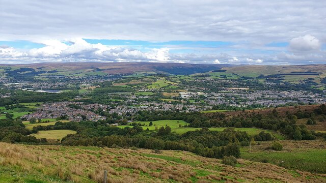
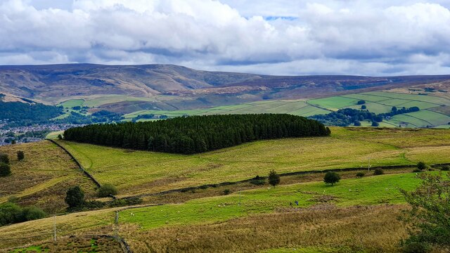
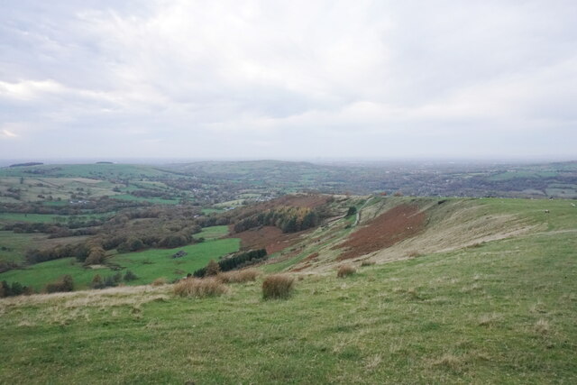
Dinting Vale is a small village located in the High Peak district of Derbyshire, England. Situated in the picturesque Peak District National Park, it is nestled among rolling hills and lush green countryside, offering breathtaking views of the surrounding landscape. The village is approximately 12 miles east of the town of Glossop and 23 miles west of the city of Sheffield.
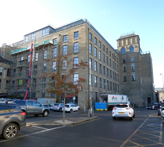
Dinting Vale has a rich history, with evidence of human activity dating back to the Neolithic period. The area was predominantly rural until the Industrial Revolution when the construction of the Woodhead railway line brought prosperity to the region. The village grew around the railway station, which served as an important transportation hub for the coal and cotton industries.
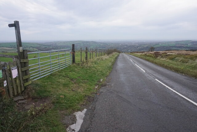
Today, Dinting Vale retains its charming rural character, with a close-knit community and a peaceful atmosphere. The village is home to a handful of residential properties, a local pub, and a small village hall. Its idyllic setting makes it a popular destination for nature lovers and outdoor enthusiasts, who can explore the numerous walking trails and cycling routes in the area.
In addition to its natural beauty, Dinting Vale is conveniently located near several attractions. Within a short drive, visitors can explore the historic market town of Glossop, visit the stunning Chatsworth House, or embark on a scenic drive through the picturesque Snake Pass.
Overall, Dinting Vale offers a tranquil retreat from the hustle and bustle of city life, with its stunning landscapes, rich history, and friendly community.
If you have any feedback on the listing, please let us know in the comments section below.
Dinting Vale Images
Images are sourced within 2km of 53.44532/-1.9679827 or Grid Reference SK0294. Thanks to Geograph Open Source API. All images are credited.

Dinting Vale is located at Grid Ref: SK0294 (Lat: 53.44532, Lng: -1.9679827)
Administrative County: Derbyshire
District: High Peak
Police Authority: Derbyshire
What 3 Words
///escapades.dips.exists. Near Glossop, Derbyshire
Nearby Locations
Related Wikis

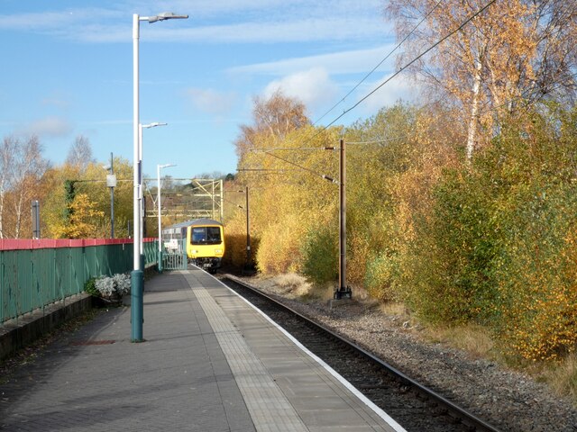
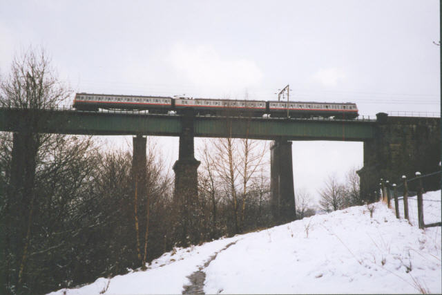
Dinting Viaduct
Dinting Viaduct (also known as Dinting Arches) is a 19th-century railway viaduct in Glossopdale in Derbyshire, England, that carries the Glossop Line over...

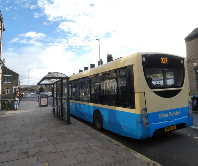
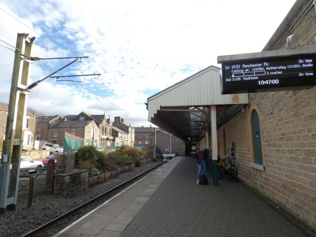
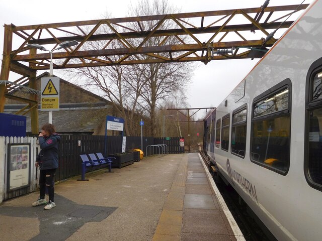
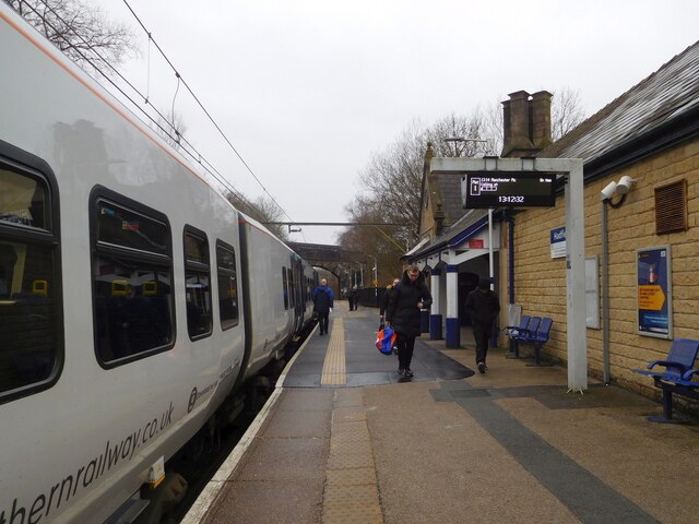
Dinting railway station
Dinting railway station serves the village of Dinting in Derbyshire, England. The station is on the Glossop Line and prior to the Woodhead Line's closure...
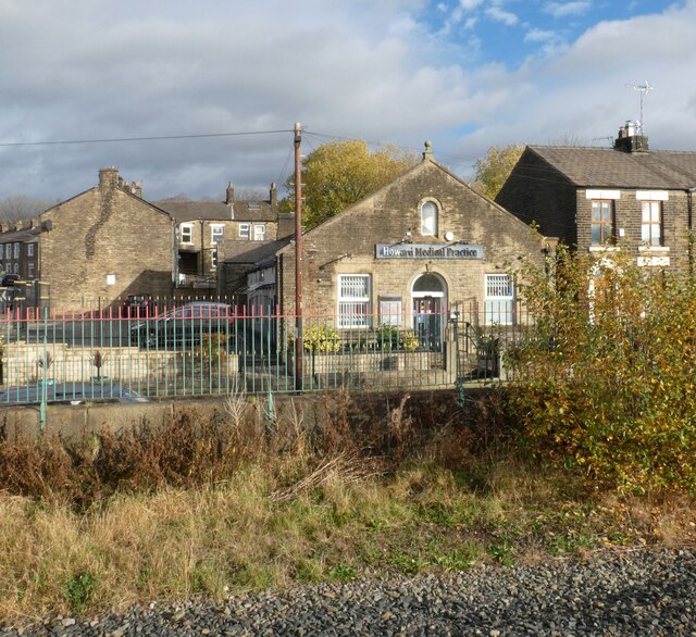
Dinting
Dinting is a village in the High Peak district of Derbyshire, England. It is situated near the towns of Glossop and Hadfield. There is a small primary...

Glossop North End A.F.C.
Glossop North End Association Football Club is a football club in Glossop, Derbyshire, England, which compete in the North West Counties League Premier...
Dinting Vale
Dinting Vale is a village in Glossopdale, Derbyshire, England. The Vale falls within the Simmondley ward of the High Peak Council. Dinting Vale lies near...
St Philip Howard Catholic Voluntary Academy
St Philip Howard Catholic Voluntary Academy (formerly St Philip Howard Catholic School) is a Roman Catholic secondary school located in Glossop in northern...
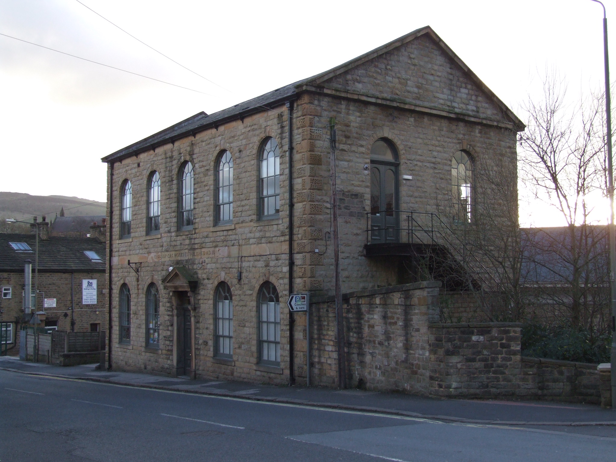
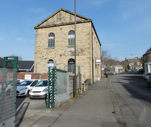
Glossop Gas Works
Glossop Gas Works is a historic building in Glossop, England. It was constructed in the late 19th century on Arundel Street, Glossop, as the headquarters...
North Road (Glossop)
North Road is a cricket and former football ground in Glossop in England. It was the home ground of Glossop North End during their time in the Football...
Related Videos

Scenic Drive, The English Countryside, Glossop #england #travel #shorts
Derbyshire Level, Glossop.

Our stay in Glossop, Derbyshire | Old Glossop | Travelodge 🏫
Staying the night at a Travelodge in the village of Glossop, Derbyshire. Taking a shirt hike, and going for food and some late night ...

Nearby Amenities
Located within 500m of 53.44532,-1.9679827Have you been to Dinting Vale?
Leave your review of Dinting Vale below (or comments, questions and feedback).