Dippin

Settlement in Buteshire

Scotland

Dippin

Helipad near Kildonan
Helipad near Kildonan Credit: Leslie Barrie

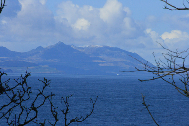
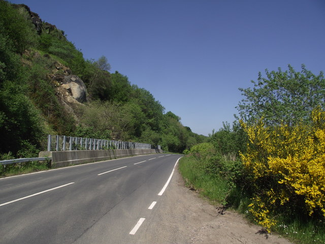
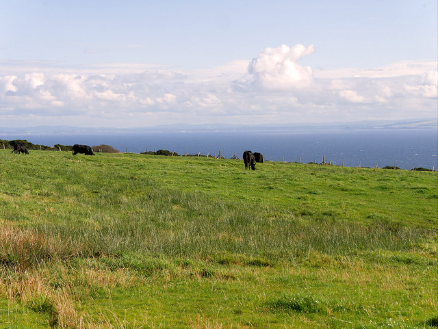
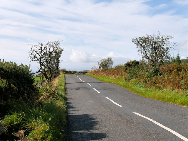
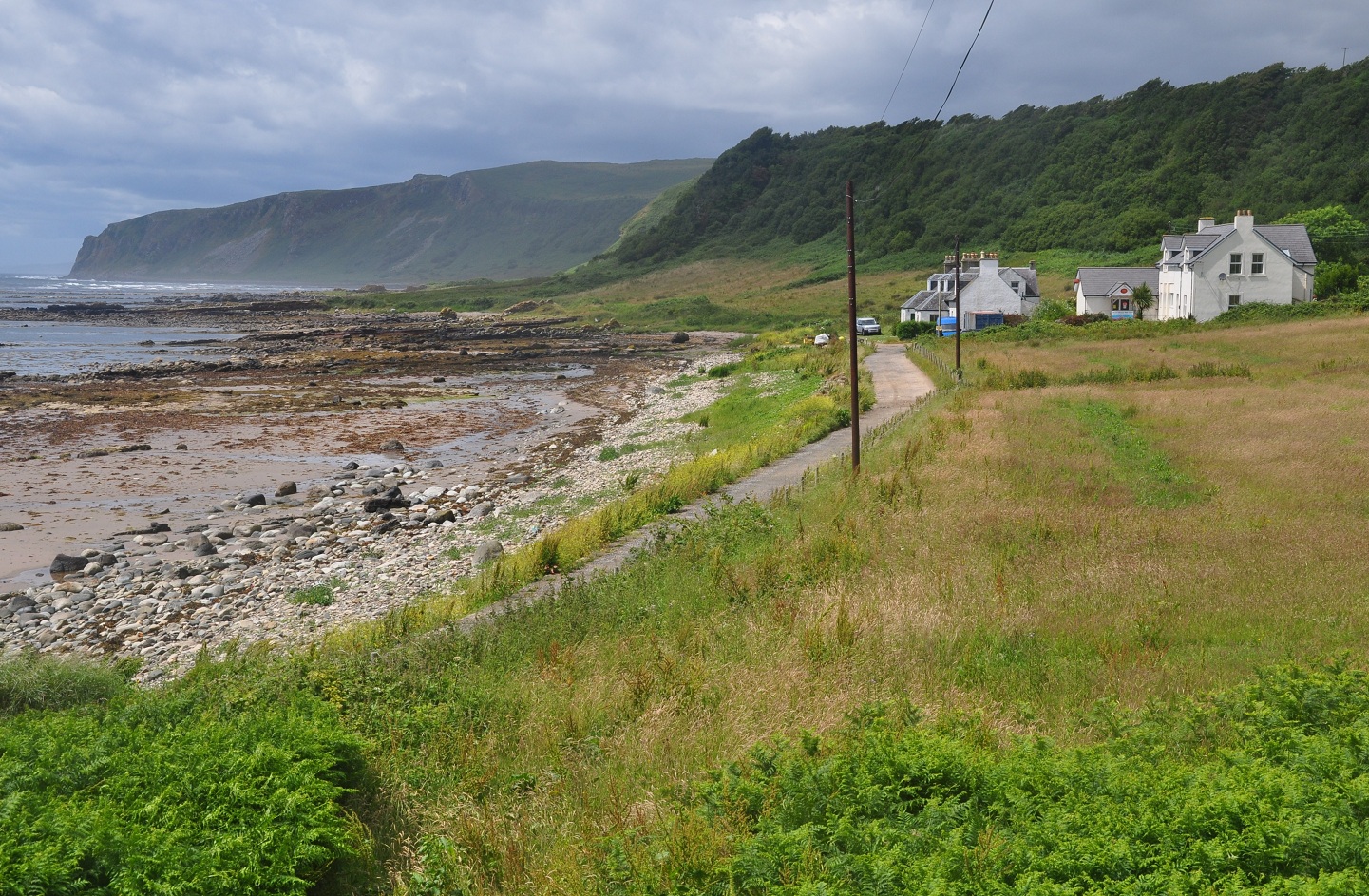
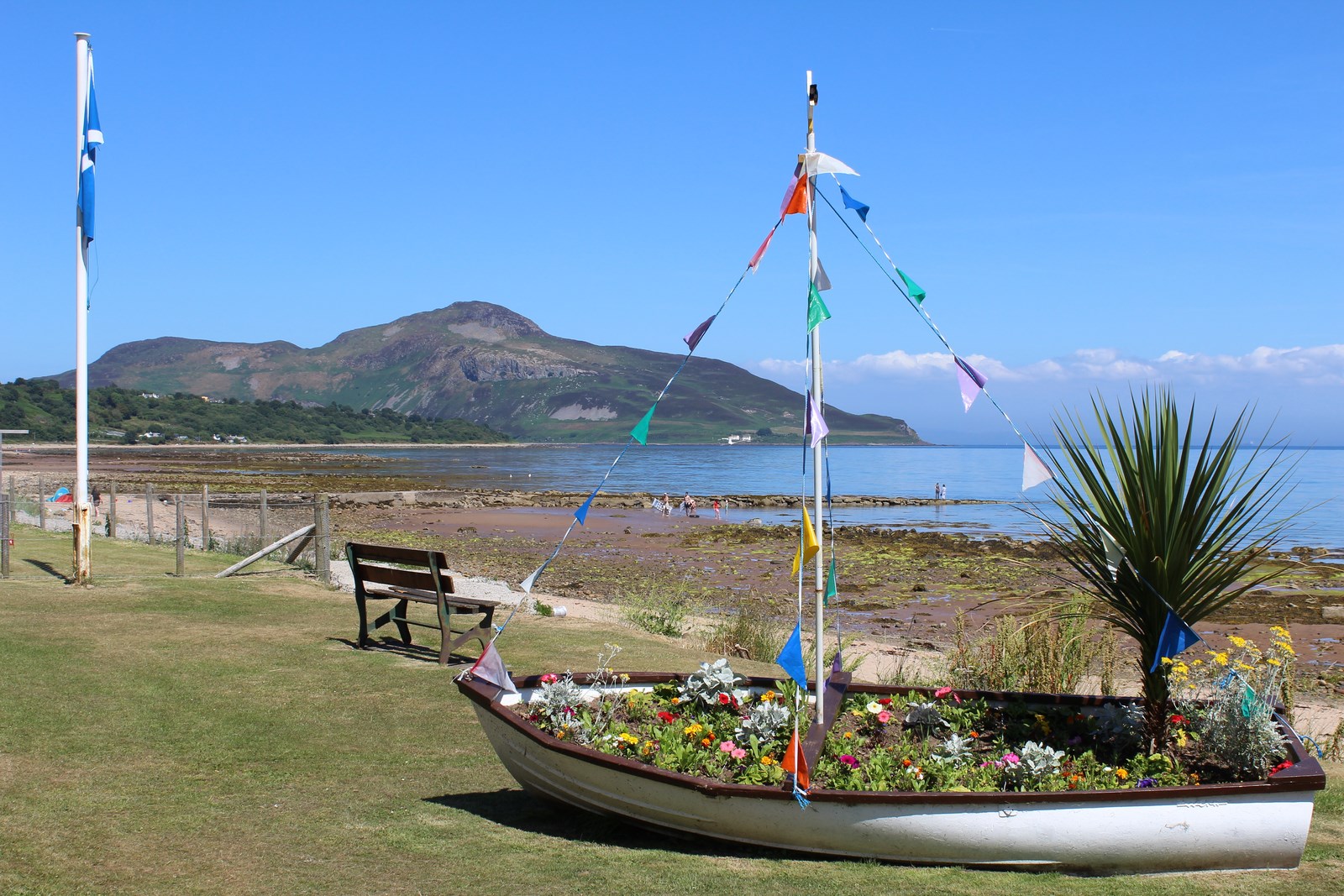
Dippin is a small coastal village located in the county of Buteshire, Scotland. Situated on the western coast of the country, it is known for its picturesque charm and breathtaking natural beauty. Nestled between rolling hills and the glistening waters of the Atlantic Ocean, Dippin offers a tranquil escape from the bustle of city life.

The village is home to a close-knit community of friendly locals who take pride in their heritage and the preservation of their traditional way of life. Dippin is known for its strong fishing industry, with many residents earning their livelihood from the sea. The harbor serves as a hub for fishing boats, and the local fish market is a bustling center of activity, supplying fresh seafood to nearby towns and cities.

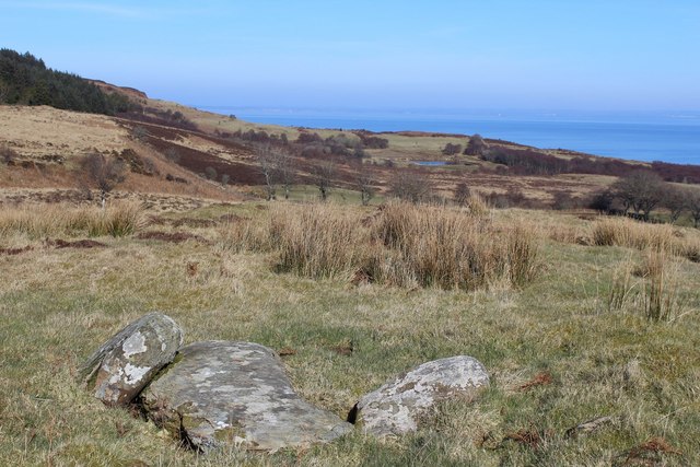
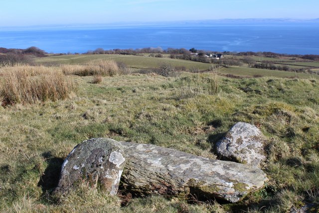
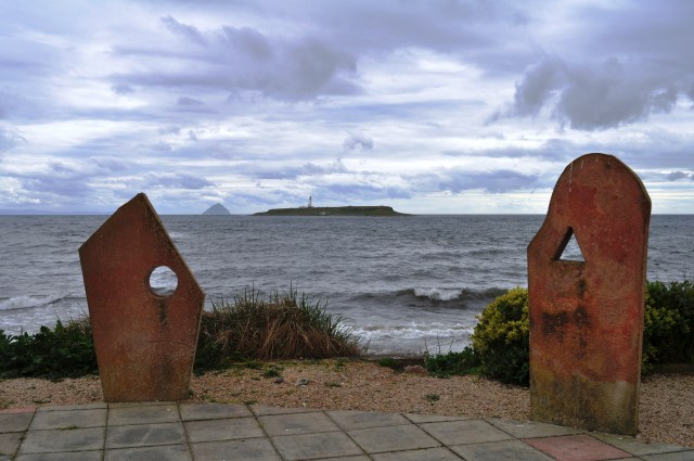
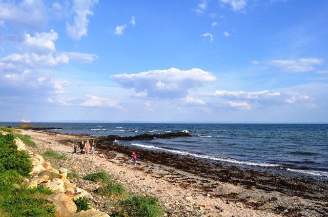
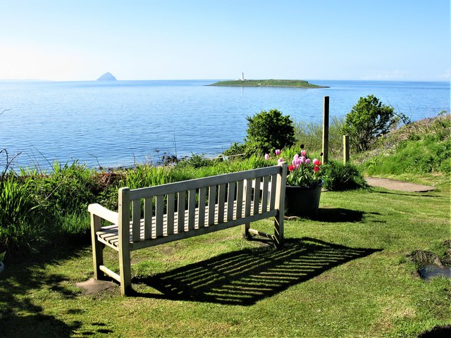
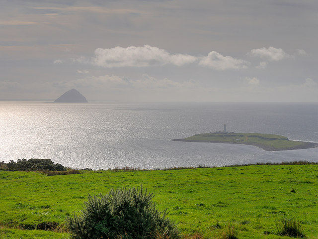
The village is also renowned for its stunning beaches, which attract visitors from far and wide. The sandy shores stretch for miles, providing the perfect setting for leisurely walks, sunbathing, and water sports. The crystal-clear waters are ideal for swimming, and the coastline offers stunning views of neighboring islands.

In terms of amenities, Dippin boasts a few charming pubs and cafes, where visitors can indulge in traditional Scottish fare and sample locally-brewed ales. The village also has a small convenience store to cater to the needs of both residents and tourists.

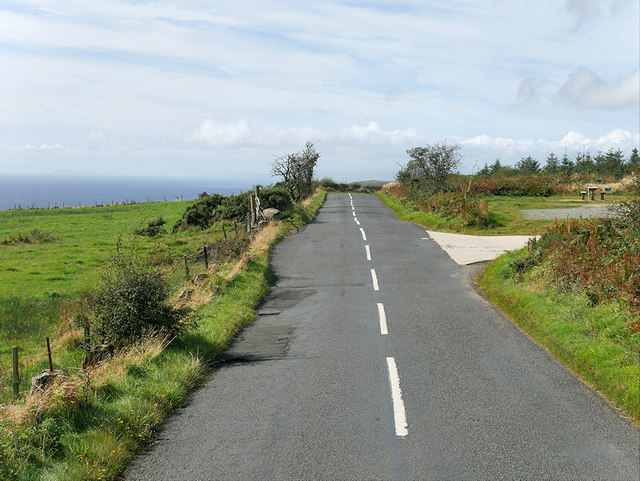
For those seeking outdoor adventures, Dippin is surrounded by breathtaking natural landscapes. Hiking trails wind their way through the nearby hills, offering panoramic views of the coastline and the opportunity to spot diverse wildlife.

Overall, Dippin is a hidden gem on Scotland's western coast, offering a peaceful retreat for nature lovers and those looking to experience traditional Scottish village life.

If you have any feedback on the listing, please let us know in the comments section below.
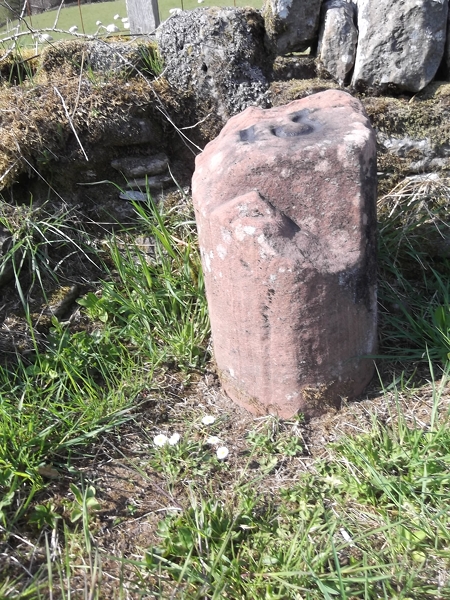
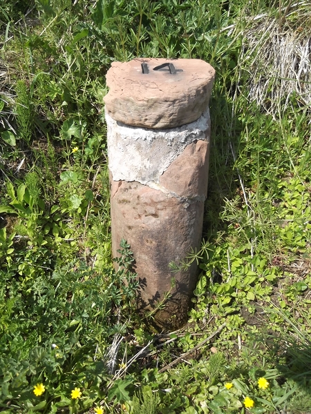
Dippin Images

Images are sourced within 2km of 55.452849/-5.0992684 or Grid Reference NS0422. Thanks to Geograph Open Source API. All images are credited.

Helipad near Kildonan
Roadside bench near Creagtaineach
Stones near Torr an Fhiannaidh Possible fallen standing stone or capstone of a cist
Stones near Torr an Fhiannaidh
Possible fallen standing stone or capstone of a cist
Stones near Torr an Fhiannaidh Possible fallen standing stone or capstone of a cist.
Stones near Torr an Fhiannaidh
Possible fallen standing stone or capstone of a cist.
Snow on Arran Looking at Arran from Culzean Castle. The island is about 25 kilometres across the water.
Snow on Arran
Looking at Arran from Culzean Castle. The island is about 25 kilometres across the water.
Kildonan Hotel Standing Stones A modern ring of stones stands in the hotel grounds. The two here are framing the islands of Pladda, with its lighthouse, and the distinctive peak of Ailsa Craig.
Kildonan Hotel Standing Stones
A modern ring of stones stands in the hotel grounds. The two here are framing the islands of Pladda, with its lighthouse, and the distinctive peak of Ailsa Craig.
Beach at Kildonan Looking east towards the Ayrshire coast, just visible on the horizon.
Beach at Kildonan
Looking east towards the Ayrshire coast, just visible on the horizon.
View towards the island of Pladda An attractive view from a car park on the minor road loop through Kildonan. Pladda is the island with the lighthouse in the middle distance on the right. The unmistakable shape of Ailsa Craig can be seen in the far distance.
View towards the island of Pladda
An attractive view from a car park on the minor road loop through Kildonan. Pladda is the island with the lighthouse in the middle distance on the right. The unmistakable shape of Ailsa Craig can be seen in the far distance.
Road beneath An Garradh
Old Milestone by the A841, north of Seacliffe, Kilmory Parish, Arran Arran by the A841, in parish of Kilmory (Arran District), at sharp corner, 1m up roadside bank.

Inscription reads:- : 12 : (To Brodick Old Quay)

Surveyed

Milestone Society National ID: AYN_ARR12.
Old Milestone by the A841, north of Seacliffe, Kilmory Parish, Arran
Arran by the A841, in parish of Kilmory (Arran District), at sharp corner, 1m up roadside bank. Inscription reads:- : 12 : (To Brodick Old Quay) Surveyed Milestone Society National ID: AYN_ARR12.
Old Milestone west of Dippin, Kilmory Parish, Arran Arran by the UC road, in parish of Kilmory (Arran District), ¼ mile from A841, overlooking Sound of Pladda, in roadside bank against fence.

Inscription reads:- : 13 : (To Brodick Old Quay)

Surveyed

Milestone Society National ID: AYN_ARRK13.
Old Milestone west of Dippin, Kilmory Parish, Arran
Arran by the UC road, in parish of Kilmory (Arran District), ¼ mile from A841, overlooking Sound of Pladda, in roadside bank against fence. Inscription reads:- : 13 : (To Brodick Old Quay) Surveyed Milestone Society National ID: AYN_ARRK13.
Old Milestone near Kildonan Hotel, Kilmory Parish, Isle of Arran Arran by the UC, in parish of Kilmory (Arran District), 200m past road down to Kildonan Hotel, in hedge on roadside verge.

Inscription once read:- : 14 : (To Brodick Old Quay)

Surveyed

Milestone Society National ID: AYN_ARRK14
Old Milestone near Kildonan Hotel, Kilmory Parish, Isle of Arran
Arran by the UC, in parish of Kilmory (Arran District), 200m past road down to Kildonan Hotel, in hedge on roadside verge. Inscription once read:- : 14 : (To Brodick Old Quay) Surveyed Milestone Society National ID: AYN_ARRK14
Old Milestone by the A841, Grouse Lodge, west of Dippin, Arran Milestone on Arran by the A841, in parish of Kilmory (Arran District), Grouse Lodge, 30m East of gate on wide verge, back to stone wall. Damaged.

Inscription reads:-
13
(To Brodick Old Quay)

Surveyed

Milestone Society National ID: AYN_ARR13
Old Milestone by the A841, Grouse Lodge, west of Dippin, Arran
Milestone on Arran by the A841, in parish of Kilmory (Arran District), Grouse Lodge, 30m East of gate on wide verge, back to stone wall. Damaged. Inscription reads:- 13 (To Brodick Old Quay) Surveyed Milestone Society National ID: AYN_ARR13
Old Milestone by the A841, Ballymeanoch, Arran Arran milestone by the A841, in parish of Kilmory (Arran District), West of farm on left and past track crossroads, on banking, North side of road. Broken and repaired.

Inscription reads:-
14
(To Brodick Old Quay)

Surveyed

Milestone Society National ID: AYN_ARR14
Old Milestone by the A841, Ballymeanoch, Arran
Arran milestone by the A841, in parish of Kilmory (Arran District), West of farm on left and past track crossroads, on banking, North side of road. Broken and repaired. Inscription reads:- 14 (To Brodick Old Quay) Surveyed Milestone Society National ID: AYN_ARR14
A View towards Pladda and Ailsa Craig Taken from the former A841 road near to Kildonan.
A View towards Pladda and Ailsa Craig
Taken from the former A841 road near to Kildonan.
Arran Orbital Road (former A841) near Kildonan The A841 is the only A-road on the Isle of Arran and forms the island's primary transport route, as it connects all the major settlements on the island - Brodick, Lochranza, Blackwaterfoot and Whiting Bay. It used to make a complete circuit of the Isle of Arran on its 55-mile course around the coast. In the early 2000s, the road was reclassified so that the western and southern sides of the route are now unclassified.
Arran Orbital Road (former A841) near Kildonan
The A841 is the only A-road on the Isle of Arran and forms the island's primary transport route, as it connects all the major settlements on the island - Brodick, Lochranza, Blackwaterfoot and Whiting Bay. It used to make a complete circuit of the Isle of Arran on its 55-mile course around the coast. In the early 2000s, the road was reclassified so that the western and southern sides of the route are now unclassified.
Cattle Grazing on the Slopes near Kildonan
Former A841 near Kildonan The A841 is the only A-road on the Isle of Arran and forms the island's primary transport route, as it connects all the major settlements on the island - Brodick, Lochranza, Blackwaterfoot and Whiting Bay. It used to make a complete circuit of the Isle of Arran on its 55-mile course around the coast. In the early 2000s, the road was reclassified so that the western and southern sides of the route are now unclassified.
Former A841 near Kildonan
The A841 is the only A-road on the Isle of Arran and forms the island's primary transport route, as it connects all the major settlements on the island - Brodick, Lochranza, Blackwaterfoot and Whiting Bay. It used to make a complete circuit of the Isle of Arran on its 55-mile course around the coast. In the early 2000s, the road was reclassified so that the western and southern sides of the route are now unclassified.
Show me another place!

Dippin is located at Grid Ref: NS0422 (Lat: 55.452849, Lng: -5.0992684)

Unitary Authority: North Ayrshire

Police Authority: Ayrshire

What 3 Words

///contemplate.corded.diner. Near Kildonan, North Ayrshire

Nearby Locations

Dippin Head Dippin Dippen

Related Wikis

Dippen, Arran

Dippen (Scottish Gaelic: An Dipinn) is a settlement on the Isle of Arran in the Firth of Clyde, Scotland, where there is an interesting chambered cairn...

Kildonan Castle

Kildonan Castle stands in the small village of Kildonan on the southern coast of the Isle of Arran in Scotland. The castle's name is derived from the name...

Kildonan, Arran

Kildonan (Scottish Gaelic: Cill Donnain) is a village on the south coast of the Isle of Arran in the Firth of Clyde, Scotland. The village is within the...

Giants' Graves, Arran

The Giants' Graves are the remains of two Neolithic chambered tombs on the Isle of Arran in Scotland. They are situated within 40 metres of each other...

Eas a' Chrannaig

Eas a' Chrannaig also known as the Glenashdale Falls is a waterfall on the island of Arran, Scotland. There are a series of falls on the Glenashdale Burn...

Pladda

Pladda (Scottish Gaelic: Pladaigh) is an uninhabited island 1 km (0.62 mi) off the south coast of the Isle of Arran in the Firth of Clyde at grid reference...

Whiting Bay

Whiting Bay (Scottish Gaelic: Eadar Dhà Rubha, "between two headlands") is a village located on the Isle of Arran in the Firth of Clyde, Scotland four...

German submarine U-33 (1936)

German submarine U-33 was a Type VIIA U-boat of Nazi Germany's Kriegsmarine during World War II. Her keel was laid down on 1 September 1935 at the Germaniawerft...

Nearby Amenities

Located within 500m of 55.452849,-5.0992684
Dippen Farm
Place: farm
Lat/Long: 55.4519872/-5.1000195
Creagtaineach
Place: farm
Lat/Long: 55.4515647/-5.1042703
Power: pole
Lat/Long: 55.4507485/-5.0989687
Power: pole
Lat/Long: 55.4522936/-5.102545
Material: wood
Power: pole
Lat/Long: 55.4525624/-5.1023969
Power: pole
Lat/Long: 55.4552928/-5.0966097
Telephone
Booth: K6
Covered: booth
Lat/Long: 55.4553384/-5.0950786
The data included in this document is from www.openstreetmap.org. The data is made available under ODbL.

Have you been to Dippin?

Leave your review of Dippin below (or comments, questions and feedback).