Dippen

Settlement in Buteshire

Scotland

Dippen

Library near Eas Mor Waterfall Library left open to browse. Stocked with an assortment of books as well as a supply of drawing paper and crayons for the children. Walls and ceiling are adorned with their drawings.
Library near Eas Mor Waterfall Credit: Leslie Barrie

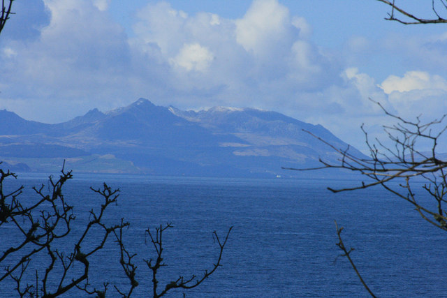
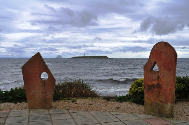
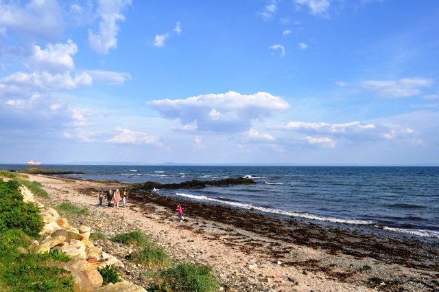
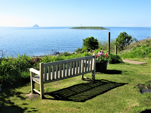
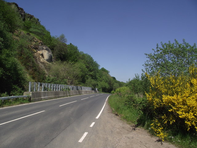
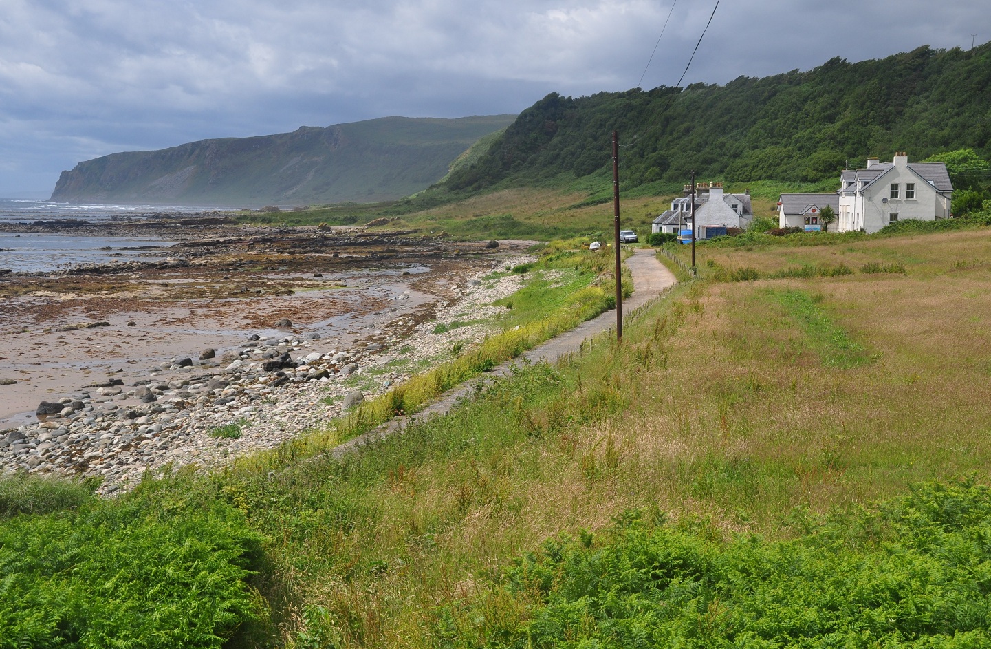
Dippen is a quaint coastal village located in the region of Buteshire, Scotland. It is situated on the eastern bank of the Firth of Clyde, offering stunning views of the surrounding landscape. With a population of around 500 residents, Dippen maintains a close-knit community atmosphere.

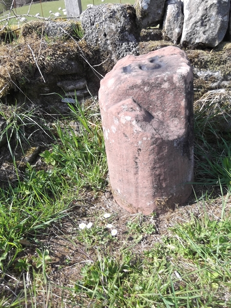
The village is known for its picturesque setting, with charming cottages and traditional stone buildings lining the streets. The local architecture reflects the area's rich history, dating back centuries. Dippen's origins can be traced back to the medieval era, and remnants of its past can still be seen in the ancient ruins scattered throughout the village.

The village offers a range of amenities to its residents and visitors. There are a few local shops and a cozy pub, providing essential supplies and a place to socialize. The surrounding natural beauty also attracts outdoor enthusiasts, as Dippen is a gateway to breathtaking landscapes. Hiking trails, cycling routes, and fishing spots are easily accessible from the village.

The community of Dippen is known for its strong sense of unity and pride. The villagers regularly organize events and festivals to celebrate their heritage and promote local businesses. These gatherings foster a friendly and welcoming atmosphere, making Dippen an inviting destination for tourists.

Overall, Dippen provides a peaceful and idyllic escape from the hustle and bustle of city life. Its stunning coastal location, rich history, and close-knit community make it a hidden gem in Buteshire, offering a glimpse into the traditional Scottish way of life.

If you have any feedback on the listing, please let us know in the comments section below.
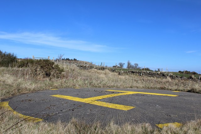
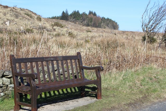
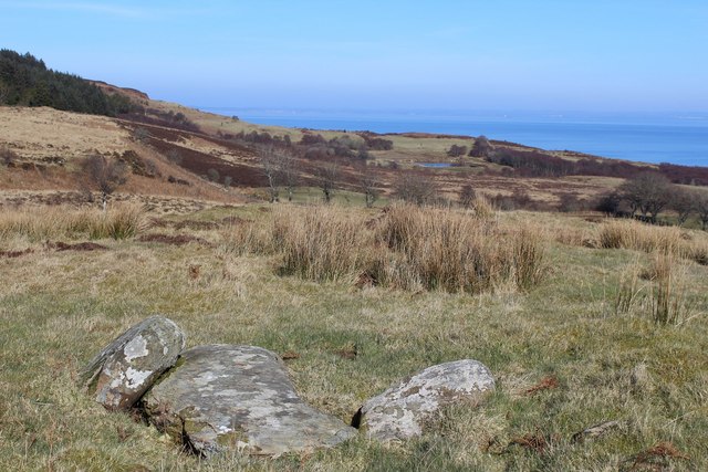
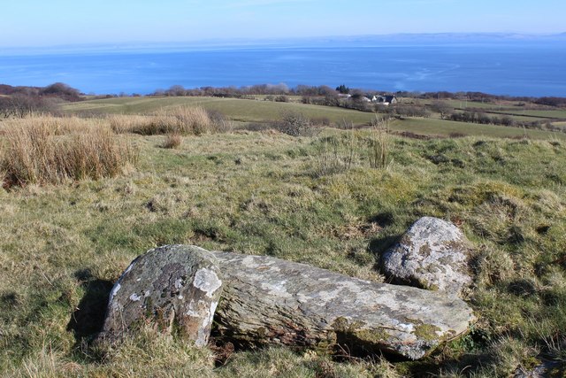
Dippen Images

Images are sourced within 2km of 55.4525/-5.100981 or Grid Reference NS0422. Thanks to Geograph Open Source API. All images are credited.

Library near Eas Mor Waterfall Library left open to browse. Stocked with an assortment of books as well as a supply of drawing paper and crayons for the children. Walls and ceiling are adorned with their drawings.
Library near Eas Mor Waterfall
Library left open to browse. Stocked with an assortment of books as well as a supply of drawing paper and crayons for the children. Walls and ceiling are adorned with their drawings.
Path leading to Loch Garbad
Track leading to Loch Garbad
Waterfall on Allt Mor
Helipad near Kildonan
Roadside bench near Creagtaineach
Stones near Torr an Fhiannaidh Possible fallen standing stone or capstone of a cist
Stones near Torr an Fhiannaidh
Possible fallen standing stone or capstone of a cist
Stones near Torr an Fhiannaidh Possible fallen standing stone or capstone of a cist.
Stones near Torr an Fhiannaidh
Possible fallen standing stone or capstone of a cist.
Snow on Arran Looking at Arran from Culzean Castle. The island is about 25 kilometres across the water.
Snow on Arran
Looking at Arran from Culzean Castle. The island is about 25 kilometres across the water.
Kildonan Hotel Standing Stones A modern ring of stones stands in the hotel grounds. The two here are framing the islands of Pladda, with its lighthouse, and the distinctive peak of Ailsa Craig.
Kildonan Hotel Standing Stones
A modern ring of stones stands in the hotel grounds. The two here are framing the islands of Pladda, with its lighthouse, and the distinctive peak of Ailsa Craig.
Beach at Kildonan Looking east towards the Ayrshire coast, just visible on the horizon.
Beach at Kildonan
Looking east towards the Ayrshire coast, just visible on the horizon.
Looking from Kildonan across the Sound of Pladda
View towards the island of Pladda An attractive view from a car park on the minor road loop through Kildonan. Pladda is the island with the lighthouse in the middle distance on the right. The unmistakable shape of Ailsa Craig can be seen in the far distance.
View towards the island of Pladda
An attractive view from a car park on the minor road loop through Kildonan. Pladda is the island with the lighthouse in the middle distance on the right. The unmistakable shape of Ailsa Craig can be seen in the far distance.
Road beneath An Garradh
Old Milestone by the A841, north of Seacliffe, Kilmory Parish, Arran Arran by the A841, in parish of Kilmory (Arran District), at sharp corner, 1m up roadside bank.

Inscription reads:- : 12 : (To Brodick Old Quay)

Surveyed

Milestone Society National ID: AYN_ARR12.
Old Milestone by the A841, north of Seacliffe, Kilmory Parish, Arran
Arran by the A841, in parish of Kilmory (Arran District), at sharp corner, 1m up roadside bank. Inscription reads:- : 12 : (To Brodick Old Quay) Surveyed Milestone Society National ID: AYN_ARR12.
Old Milestone west of Dippin, Kilmory Parish, Arran Arran by the UC road, in parish of Kilmory (Arran District), ¼ mile from A841, overlooking Sound of Pladda, in roadside bank against fence.

Inscription reads:- : 13 : (To Brodick Old Quay)

Surveyed

Milestone Society National ID: AYN_ARRK13.
Old Milestone west of Dippin, Kilmory Parish, Arran
Arran by the UC road, in parish of Kilmory (Arran District), ¼ mile from A841, overlooking Sound of Pladda, in roadside bank against fence. Inscription reads:- : 13 : (To Brodick Old Quay) Surveyed Milestone Society National ID: AYN_ARRK13.
Old Milestone near Kildonan Hotel, Kilmory Parish, Isle of Arran Arran by the UC, in parish of Kilmory (Arran District), 200m past road down to Kildonan Hotel, in hedge on roadside verge.

Inscription once read:- : 14 : (To Brodick Old Quay)

Surveyed

Milestone Society National ID: AYN_ARRK14
Old Milestone near Kildonan Hotel, Kilmory Parish, Isle of Arran
Arran by the UC, in parish of Kilmory (Arran District), 200m past road down to Kildonan Hotel, in hedge on roadside verge. Inscription once read:- : 14 : (To Brodick Old Quay) Surveyed Milestone Society National ID: AYN_ARRK14
Old Milestone by the A841, Grouse Lodge, west of Dippin, Arran Milestone on Arran by the A841, in parish of Kilmory (Arran District), Grouse Lodge, 30m East of gate on wide verge, back to stone wall. Damaged.

Inscription reads:-
13
(To Brodick Old Quay)

Surveyed

Milestone Society National ID: AYN_ARR13
Old Milestone by the A841, Grouse Lodge, west of Dippin, Arran
Milestone on Arran by the A841, in parish of Kilmory (Arran District), Grouse Lodge, 30m East of gate on wide verge, back to stone wall. Damaged. Inscription reads:- 13 (To Brodick Old Quay) Surveyed Milestone Society National ID: AYN_ARR13
Show me another place!

Dippen is located at Grid Ref: NS0422 (Lat: 55.4525, Lng: -5.100981)

Unitary Authority: North Ayrshire

Police Authority: Ayrshire

What 3 Words

///dame.tidal.fruits. Near Kildonan, North Ayrshire

Nearby Locations

Dippen Dippin Head Dippin

Related Wikis

Dippen, Arran

Dippen (Scottish Gaelic: An Dipinn) is a settlement on the Isle of Arran in the Firth of Clyde, Scotland, where there is an interesting chambered cairn...

Kildonan Castle

Kildonan Castle stands in the small village of Kildonan on the southern coast of the Isle of Arran in Scotland. The castle's name is derived from the name...

Kildonan, Arran

Kildonan (Scottish Gaelic: Cill Donnain) is a village on the south coast of the Isle of Arran in the Firth of Clyde, Scotland. The village is within the...

Giants' Graves, Arran

The Giants' Graves are the remains of two Neolithic chambered tombs on the Isle of Arran in Scotland. They are situated within 40 metres of each other...

Nearby Amenities

Located within 500m of 55.4525,-5.100981
Dippen Farm
Place: farm
Lat/Long: 55.4519872/-5.1000195
Creagtaineach
Place: farm
Lat/Long: 55.4515647/-5.1042703
Power: pole
Lat/Long: 55.4507485/-5.0989687
Power: pole
Lat/Long: 55.4522936/-5.102545
Material: wood
Power: pole
Lat/Long: 55.4525624/-5.1023969
Power: pole
Lat/Long: 55.4552928/-5.0966097
Telephone
Booth: K6
Covered: booth
Lat/Long: 55.4553384/-5.0950786
The data included in this document is from www.openstreetmap.org. The data is made available under ODbL.

Have you been to Dippen?

Leave your review of Dippen below (or comments, questions and feedback).