Dippenhall

Settlement in Surrey Waverley

England

Dippenhall

Track and farmland, Crondall Part of a well-used network of public footpaths to the south of the village.
Track and farmland, Crondall Credit: Andrew Smith

The requested URL returned error: 429 Too Many Requests

If you have any feedback on the listing, please let us know in the comments section below.
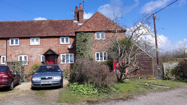
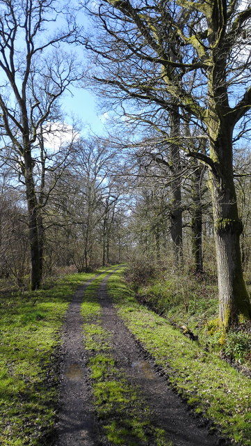
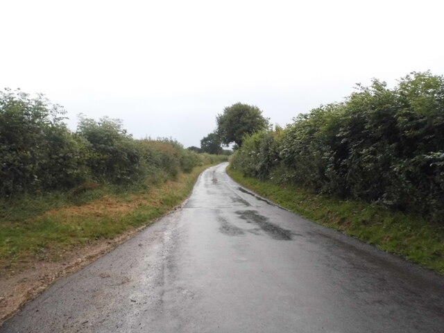
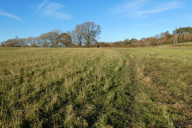
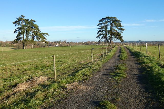
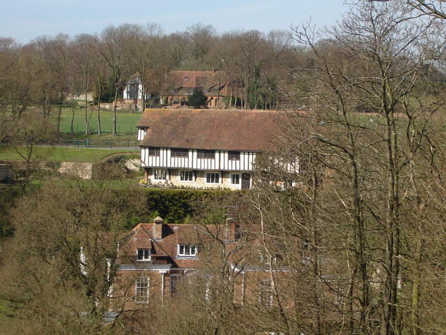
Dippenhall Images

Images are sourced within 2km of 51.213655/-0.845293 or Grid Reference SU8146. Thanks to Geograph Open Source API. All images are credited.

Track and farmland, Crondall Part of a well-used network of public footpaths to the south of the village.
Track and farmland, Crondall
Part of a well-used network of public footpaths to the south of the village.
Farmland, Crondall The southern edge of Barley Pound Copse.
Farmland, Crondall
The southern edge of Barley Pound Copse.
Old Cottages - East Green
Path into Wallfield Copse
Wallfield Copse
Wallfield Copse
Wallfield Copse
Wallfield Copse
Fields near Hill Farm
Large Fields
Large Fields
Plank bridge near Wallfield Copse It is not clear from this photo but the route is about to lead uphill on the other side of the bridge, one of the steeper sections of the St Swithun's Way between Alton and Farnham.
Plank bridge near Wallfield Copse
It is not clear from this photo but the route is about to lead uphill on the other side of the bridge, one of the steeper sections of the St Swithun's Way between Alton and Farnham.
Track south of Crondall
The road to Well
The road to Well
The road from Well to Dippenhall
Farmland, Crondall A footpath crosses this recently grazed field to the west of Dora's Green.
Farmland, Crondall
A footpath crosses this recently grazed field to the west of Dora's Green.
Pasture, Farnham A footpath crosses this field at Lower Old Park having exited Pond Copse, the eastern extension of which is on the left.
Pasture, Farnham
A footpath crosses this field at Lower Old Park having exited Pond Copse, the eastern extension of which is on the left.
Track and pasture, Farnham A footpath heading towards the western edge of the town from Dippenhall passes through paddocks grazed by equines.
Track and pasture, Farnham
A footpath heading towards the western edge of the town from Dippenhall passes through paddocks grazed by equines.
Pasture, Farnham Beside the footpath to the south-west of Dippenhall House.
Pasture, Farnham
Beside the footpath to the south-west of Dippenhall House.
Farmland, Crondall Beside the footpath to the south of Clare Park Farm.
Farmland, Crondall
Beside the footpath to the south of Clare Park Farm.
Farmland, Bentley Cultivated land with the remains of oil-seed rape near Cheeks Farm.
Farmland, Bentley
Cultivated land with the remains of oil-seed rape near Cheeks Farm.
Show me another place!

Dippenhall is located at Grid Ref: SU8146 (Lat: 51.213655, Lng: -0.845293)

Administrative County: Surrey

District: Waverley

Police Authority: Surrey

What 3 Words

///cardinal.thuds.movements. Near Crondall, Hampshire

Related Wikis

Dippenhall

Dippenhall is a rural hamlet in the civil parish of Farnham in the Waverley district of Surrey, England. The nearest town, Farnham, is about 1.6 miles...

Dora's Green

Dora's Green is a hamlet in the Hart District of Hampshire, England. The hamlet lies near the A287 road between Farnham and Odiham on the Hampshire-Surrey...

Northbrook Park, Hampshire

Northbrook Park is a house in the civil parish of Bramley, in the East Hampshire district, in the county of Hampshire, England. It is a Grade II listed...

All Saints Church, Crondall

All Saints Church is an Anglican parish church in the village of Crondall, Hampshire, England. It is a Grade I listed building and stands at the highest...

Nearby Amenities

Located within 500m of 51.213655,-0.845293
Dippenhall House
Building: yes
Source: OS_OpenData_StreetView
Lat/Long: 51.2122581/-0.8413172
Give Way
Lat/Long: 51.2145972/-0.8466346
Give Way
Source: Hampshire-Aerial-FCIR
Lat/Long: 51.2175438/-0.8417159
Give Way
Source: Hampshire-Aerial-FCIR
Lat/Long: 51.2174287/-0.8414502
Give Way
Lat/Long: 51.214555/-0.8468975
The data included in this document is from www.openstreetmap.org. The data is made available under ODbL.

Have you been to Dippenhall?

Leave your review of Dippenhall below (or comments, questions and feedback).