Bushyreeds Copse
Wood, Forest in Surrey Waverley
England
Bushyreeds Copse

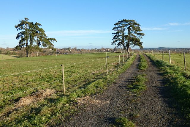
Bushyreeds Copse is a charming woodland area located in Surrey, England. Covering an area of approximately 20 acres, it is situated near the small village of Bushyreeds. The copse is characterized by its dense, ancient woodland, which is home to a variety of flora and fauna.
The woodland is primarily composed of deciduous trees, including oak, beech, and ash. These towering giants provide a lush canopy that filters sunlight and creates a cool, tranquil atmosphere within the copse. Underneath the canopy, the forest floor is covered in a thick layer of leaf litter, creating a natural habitat for a diverse range of plants and fungi.
Walking through Bushyreeds Copse, visitors will encounter a plethora of wildlife. The copse is particularly renowned for its bird population, with species such as woodpeckers, owls, and warblers commonly spotted. Squirrels can also be seen darting between the trees, gathering nuts and acorns for the winter months.
The copse is intersected by a network of footpaths, allowing visitors to explore the woodland at their leisure. These paths wind through the trees, leading to open clearings and picturesque spots where one can sit and enjoy the peaceful surroundings. Additionally, there is a small stream that meanders through the copse, adding to its natural beauty.
Bushyreeds Copse is a popular destination for nature lovers, hikers, and photographers alike. Its serene atmosphere, diverse wildlife, and beautiful scenery make it a true gem within the Surrey countryside.
If you have any feedback on the listing, please let us know in the comments section below.
Bushyreeds Copse Images
Images are sourced within 2km of 51.210004/-0.82765159 or Grid Reference SU8146. Thanks to Geograph Open Source API. All images are credited.


Bushyreeds Copse is located at Grid Ref: SU8146 (Lat: 51.210004, Lng: -0.82765159)
Administrative County: Surrey
District: Waverley
Police Authority: Surrey
What 3 Words
///chest.goodbyes.learning. Near Farnham, Surrey
Nearby Locations
Related Wikis
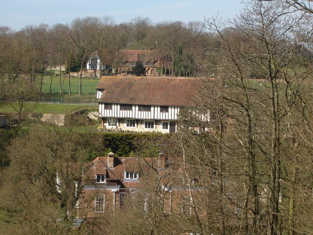
Dippenhall
Dippenhall is a rural hamlet in the civil parish of Farnham in the Waverley district of Surrey, England. The nearest town, Farnham, is about 1.6 miles...

West Street Cemetery
West Street Cemetery (also known as Farnham Civil Cemetery) on West Street in Farnham in Surrey is one of four cemeteries in the Farnham area owned and...

Weydon School
Weydon School is a secondary academy school located in Weydon Lane, Farnham, Surrey, England. It is the lead school of the Weydon Multi Academy Trust....

Wrecclesham
Wrecclesham is a village on the southern outskirts of the town of Farnham in Surrey, England. Its local government district is the Borough of Waverley...

Badshot Lea F.C.
Badshot Lea Football Club is a football club based in Wrecclesham, Surrey, England. The club are currently members of the Isthmian League South Central...
Farnham Town F.C.
Farnham Town Football Club is a semi-professional football club based in Farnham, Surrey, England. They are currently members of the Combined Counties...
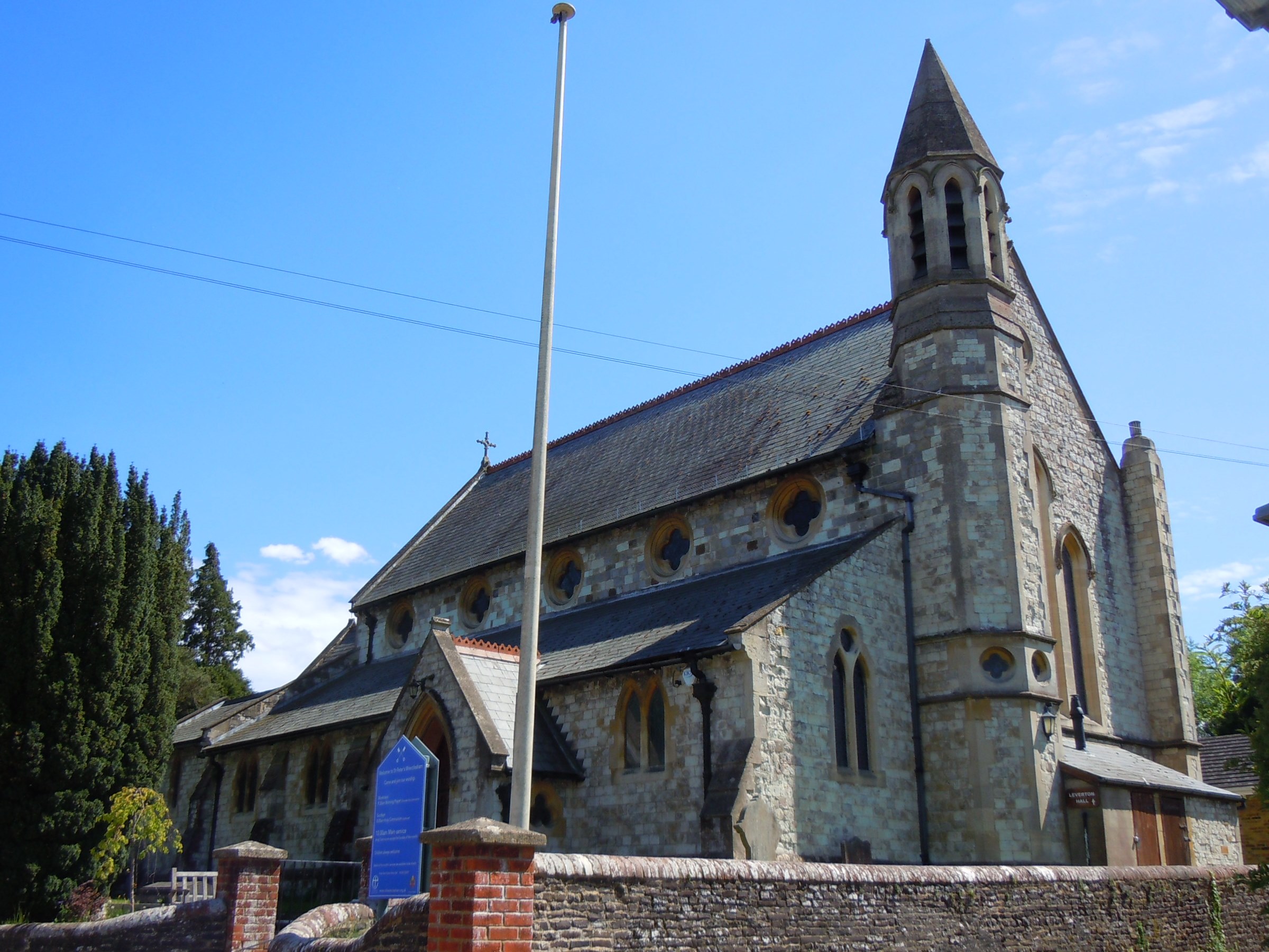
St Peter's Church, Wrecclesham
St Peter's Church is an active Anglican Parish church in Wrecclesham, a village outside Farnham in Surrey. It is in the deanery of Farnham, the archdeaconry...
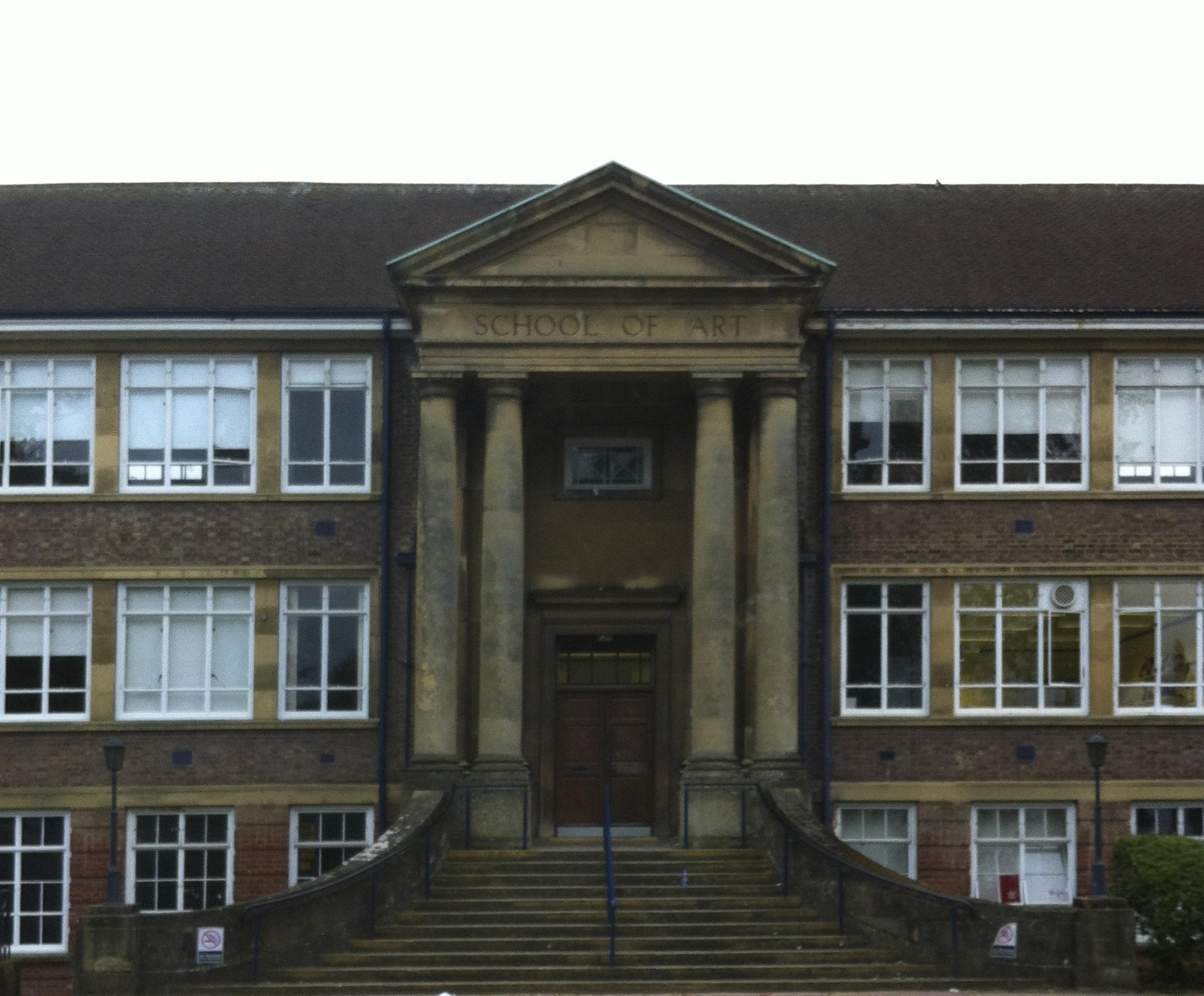
Guildford School of Art
Guildford School of Art was formed in 1856 as Guildford Working Men's Institution and was one of several schools of art run by Surrey County Council. After...
Nearby Amenities
Located within 500m of 51.210004,-0.82765159Have you been to Bushyreeds Copse?
Leave your review of Bushyreeds Copse below (or comments, questions and feedback).