Long Cross
Settlement in Dorset
England
Long Cross
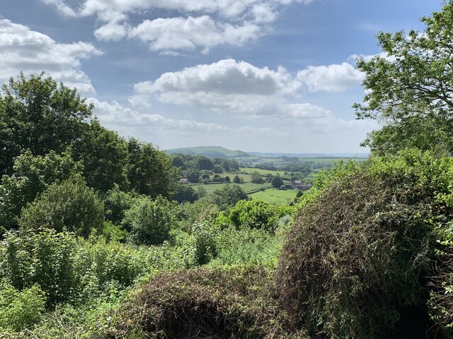
Long Cross is a small village located in the county of Dorset, England. It is situated approximately 4 miles east of the town of Beaminster and 15 miles west of the county town of Dorchester. The village is nestled in a picturesque countryside setting, surrounded by rolling hills and lush green fields.
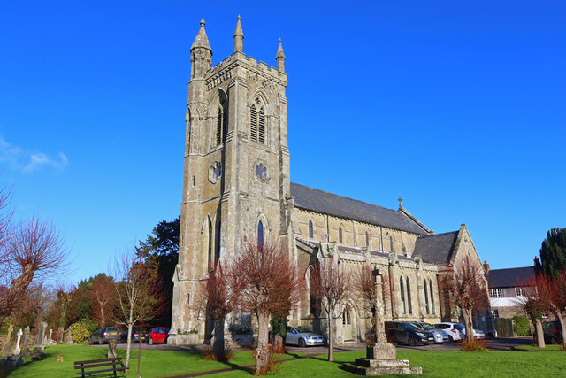
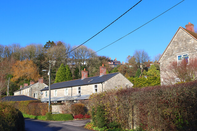
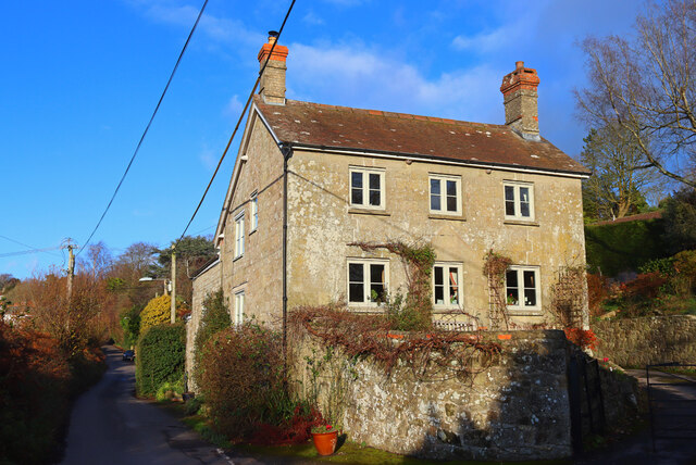
Long Cross has a population of around 300 residents and is known for its peaceful atmosphere and close-knit community. The village primarily consists of traditional stone cottages, giving it a charming and timeless appeal. The local architecture reflects the character and history of the area, with some buildings dating back several centuries.
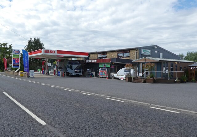
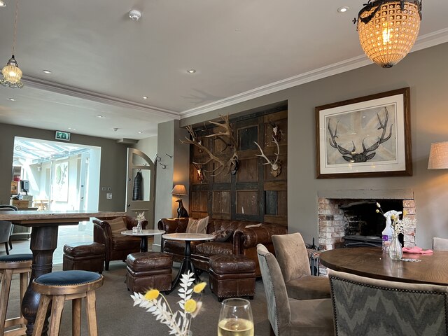
The village is home to a few amenities, including a local pub, which serves as a social hub for residents and visitors alike. There are also a number of scenic footpaths and bridleways in the area, making it a popular destination for outdoor enthusiasts and nature lovers.
Long Cross is well-positioned for those seeking a rural lifestyle, with easy access to larger towns and cities. The nearby town of Beaminster offers additional amenities, such as shops, schools, and healthcare facilities.
Overall, Long Cross offers a tranquil and idyllic setting for those looking to escape the hustle and bustle of city life. With its charming architecture, friendly community, and beautiful natural surroundings, it is a place that captures the essence of rural Dorset.
If you have any feedback on the listing, please let us know in the comments section below.
Long Cross Images
Images are sourced within 2km of 51.009069/-2.21294 or Grid Reference ST8523. Thanks to Geograph Open Source API. All images are credited.

Long Cross is located at Grid Ref: ST8523 (Lat: 51.009069, Lng: -2.21294)
Unitary Authority: Dorset
Police Authority: Dorset
What 3 Words
///shredder.bonds.normal. Near Shaftesbury, Dorset
Nearby Locations
Related Wikis
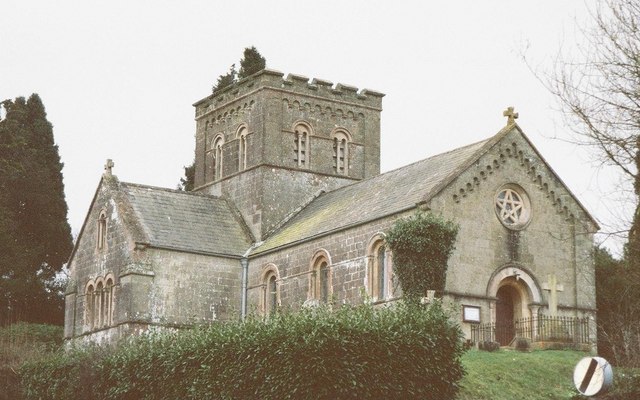
St John's Church, Enmore Green
St John's Church is a Church of England parish church in Enmore Green, Dorset, England. The church was designed by George Alexander and built in 1842–43...
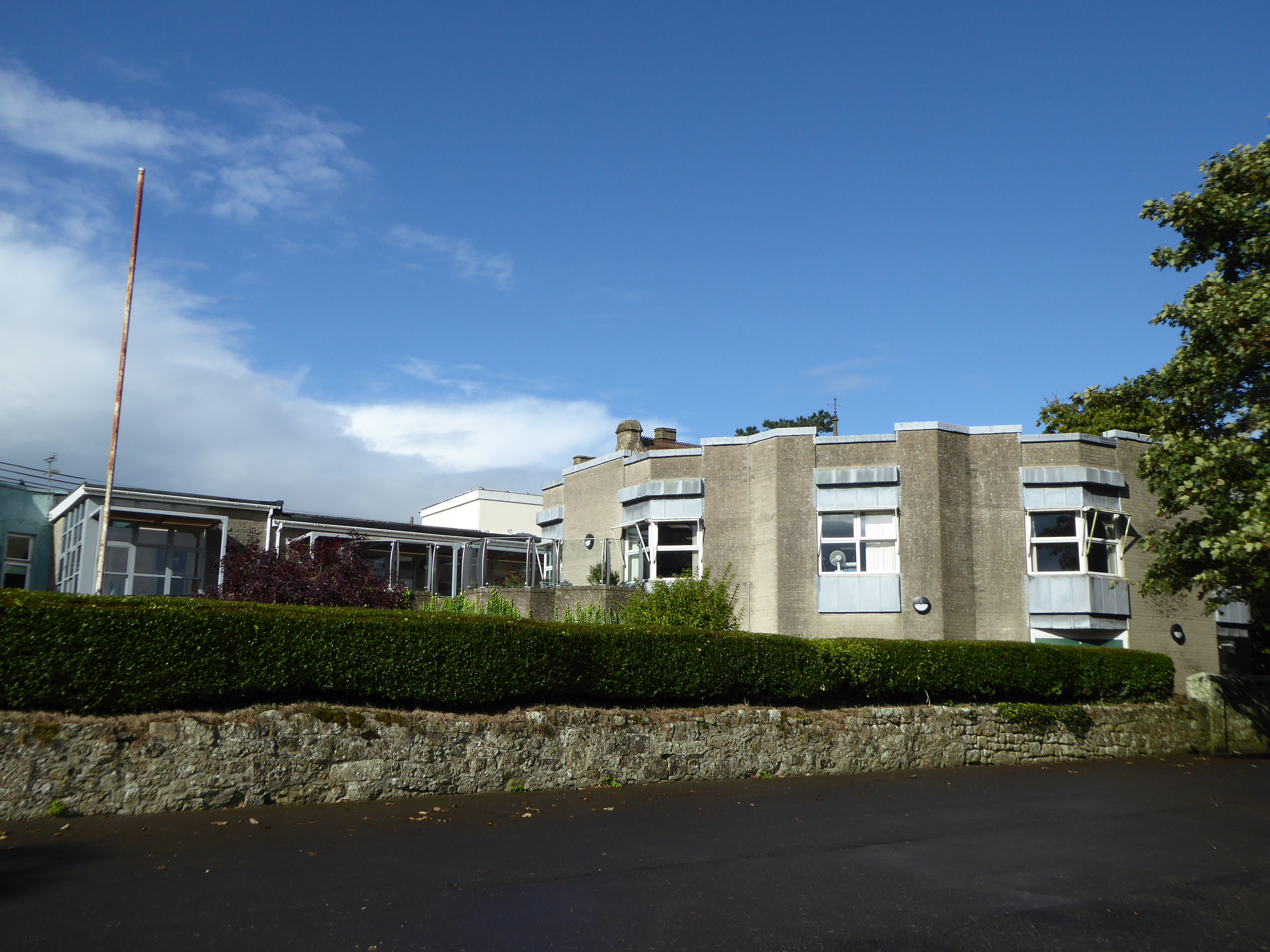
Westminster Memorial Hospital
The Westminster Memorial Hospital is a small community hospital in Shaftesbury, Dorset, England. It provides about 20 in-patient beds, a minor injuries...
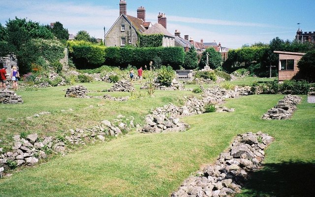
Shaftesbury Abbey
Shaftesbury Abbey was an abbey that housed nuns in Shaftesbury, Dorset. It was founded in about 888, and dissolved in 1539 during the English Reformation...

North Dorset (UK Parliament constituency)
North Dorset is a constituency represented in the House of Commons of the UK Parliament since 2015 by Simon Hoare, a Conservative. == History == This seat...

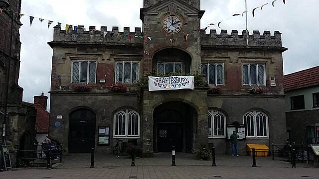
Shaftesbury Town Hall
Shaftesbury Town Hall is a municipal building in the High Street, Shaftesbury, Dorset, England. The town hall, which is the meeting place of Shaftsbury...

Shaftesbury
Shaftesbury () is a town and civil parish in Dorset, England. It is on the A30 road, 20 miles (32 kilometres) west of Salisbury and 19.4 miles (31 kilometres...
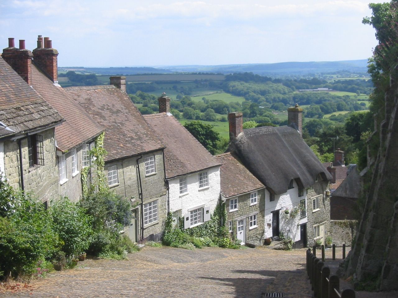
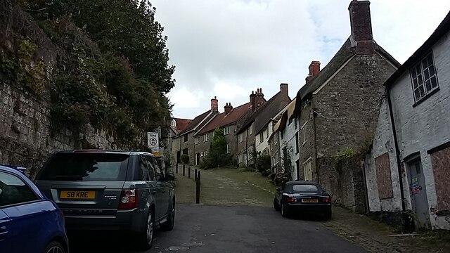
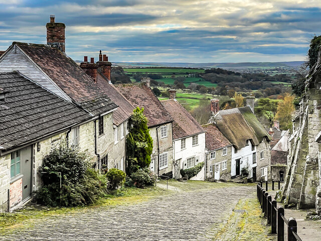
Gold Hill, Shaftesbury
Gold Hill is a steep cobbled street in the town of Shaftesbury in the English county of Dorset. The view looking down from the top of the street has been...
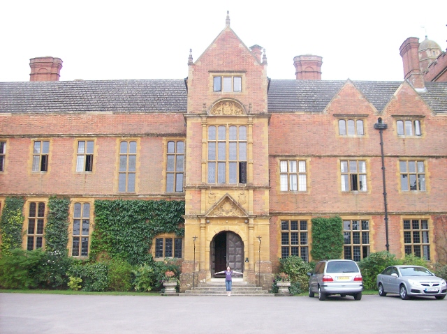
Port Regis School
Port Regis School is a co-educational preparatory school located in 140 acres of parkland on the Dorset-Wiltshire border in southern England, situated...
Nearby Amenities
Located within 500m of 51.009069,-2.21294Have you been to Long Cross?
Leave your review of Long Cross below (or comments, questions and feedback).