Long Green

Settlement in Essex Epping Forest

England

Long Green

Laundry Lane, Nazeing
Laundry Lane, Nazeing Credit: David Howard

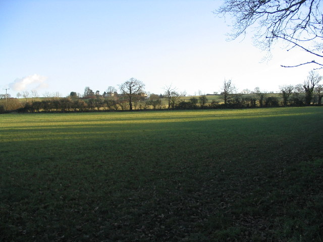
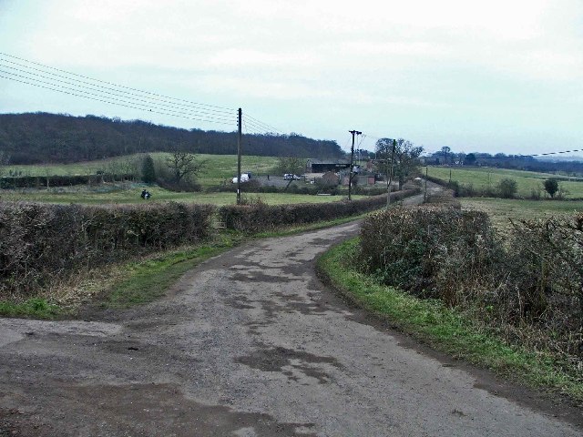
Long Green is a picturesque village located in the county of Essex, England. Situated approximately 10 miles to the northeast of Chelmsford, it is nestled amidst the rolling countryside and offers a peaceful and idyllic setting for its residents. The village is part of the wider civil parish of Roxwell, which encompasses several neighboring hamlets and farms.

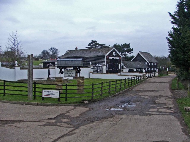
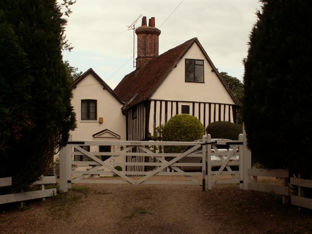
Characterized by its charming thatched cottages, historic buildings, and lush green landscapes, Long Green exudes a quintessential English countryside charm. The village is home to a close-knit community and offers a range of amenities, including a local pub, a community center, and a primary school. While the village itself is relatively small in terms of population, it benefits from the nearby towns and cities for additional services and facilities.

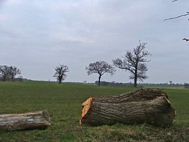
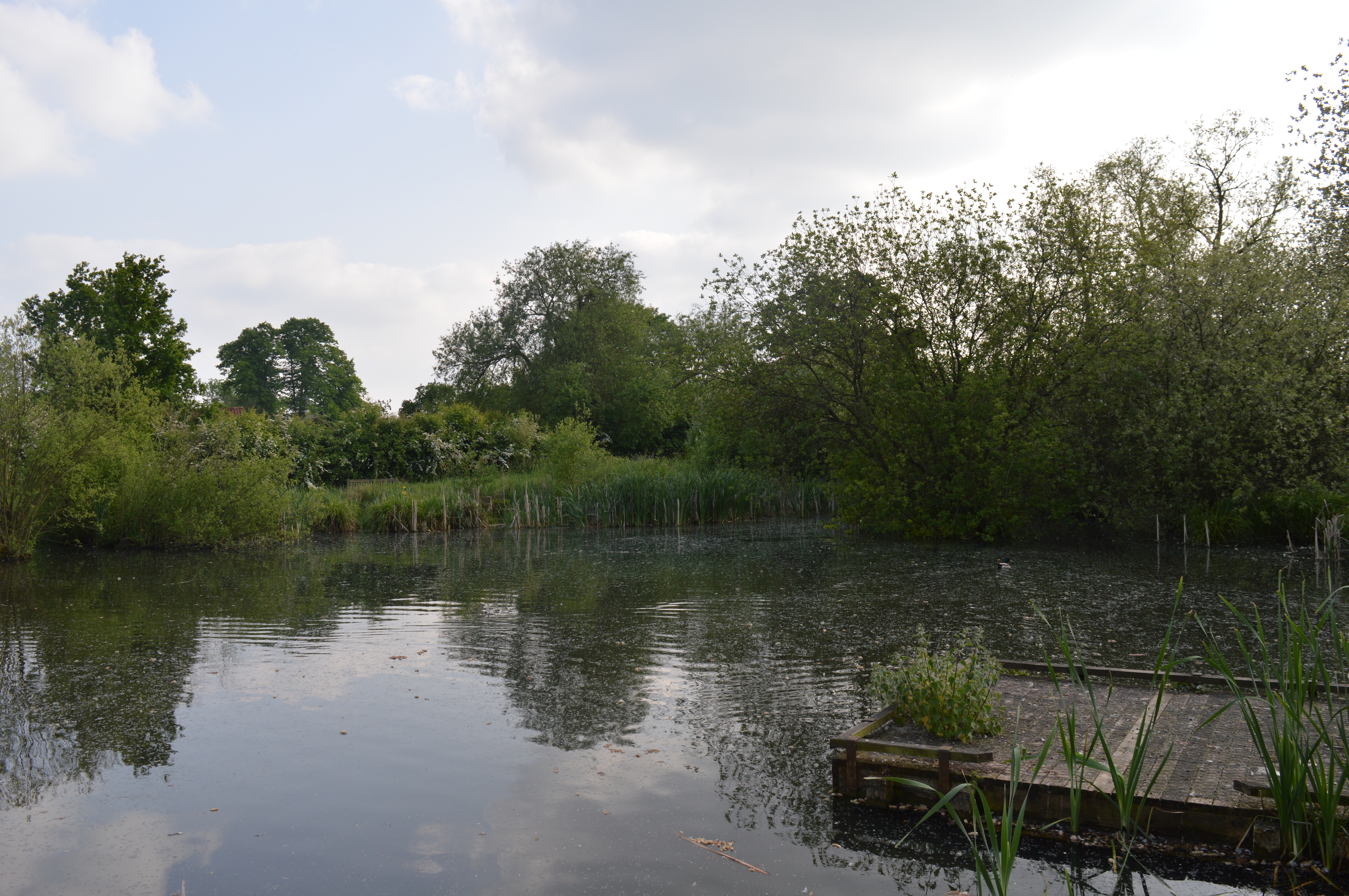
Long Green boasts a rich history, with evidence of human occupation dating back to the Roman era. The village is dotted with remnants of its past, including a Norman church, St. Michael and All Angels, which stands as a testament to its heritage. The surrounding area provides ample opportunities for outdoor activities, such as countryside walks, cycling, and horse riding, making Long Green an ideal location for nature enthusiasts.

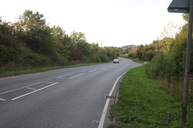
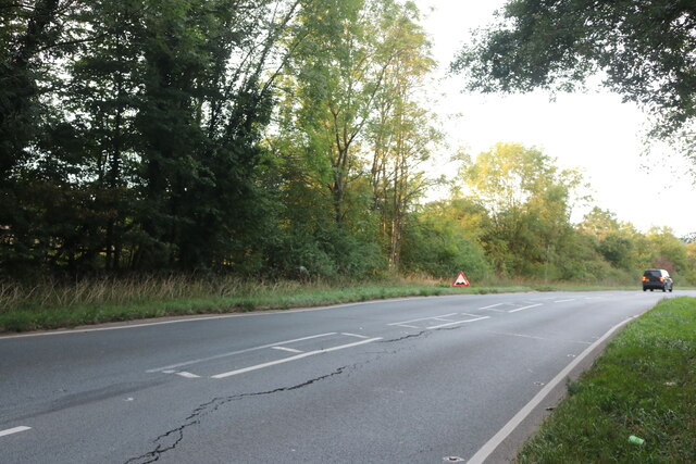
Transport links are convenient, with major roads like the A12 and A414 providing easy access to nearby towns and cities. The closest railway station is located in Chelmsford, offering regular services to London and other major destinations.

Overall, Long Green, Essex, offers a tranquil and picturesque setting for residents who seek a rural lifestyle with easy access to essential amenities and the wider region.

If you have any feedback on the listing, please let us know in the comments section below.
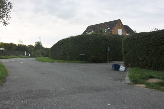
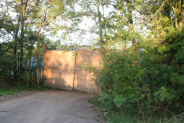
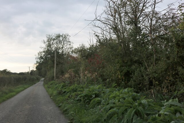
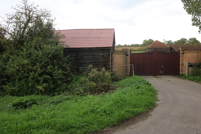
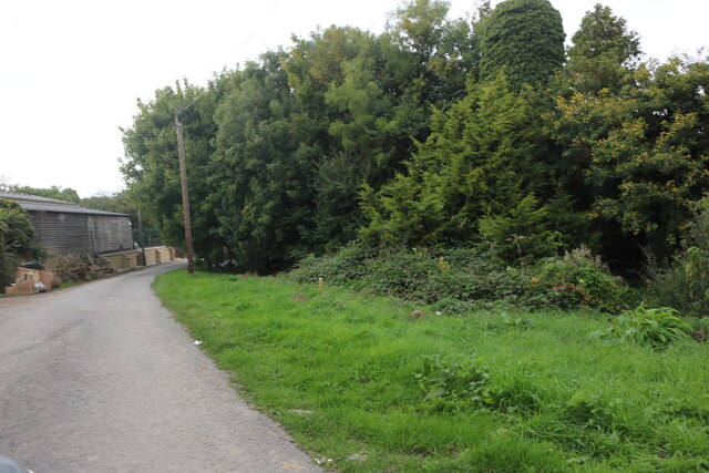
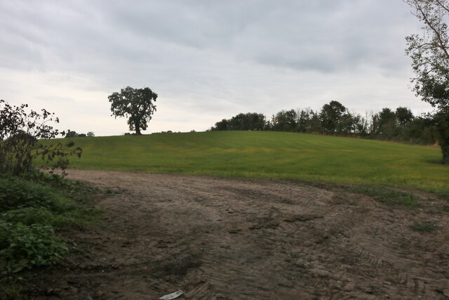
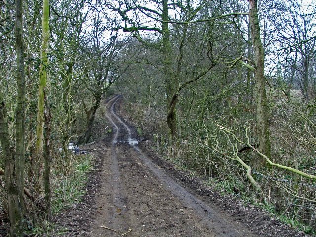
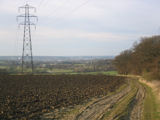
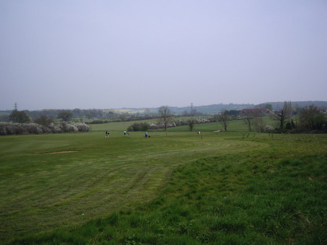
Long Green Images

Images are sourced within 2km of 51.724054/0.031290026 or Grid Reference TL4004. Thanks to Geograph Open Source API. All images are credited.

Laundry Lane, Nazeing
St Leonards Road, Nazeing
Farm entrance on St Leonards Road, Nazeing From the surrealist gate company apparently.
Farm entrance on St Leonards Road, Nazeing
From the surrealist gate company apparently.
St Leonards Road, Nazeing
Field by Waltham Road, Nazeing
Laundry Lane, Nazeing
Netherkidders Farm, Nazeing
Laundry Lane, Nazeing
Field by Laundry Lane, Nazeing
Field near Bumble's Green A good dog walker's field by a short road, which turns into a green way.  Some very pleasant houses here and quite a few "keep out" signs.
Field near Bumble's Green
A good dog walker's field by a short road, which turns into a green way. Some very pleasant houses here and quite a few "keep out" signs.
Ye Olde Claverhambury Manor
Claverhambury Road Claverhambury Road just past Claverhambury Manor
Claverhambury Road
Claverhambury Road just past Claverhambury Manor
Farmland opposite Reevegate Farm, Claverhambury Road Farmland opposite Reevegate Farm, Claverhambury Road, looking north
Farmland opposite Reevegate Farm, Claverhambury Road
Farmland opposite Reevegate Farm, Claverhambury Road, looking north
Claverhambury Road near Longcroft Grove
Kingwood Chase, Nazeing, Essex This fine timber-framed house stands close to Nazeing Park.
Kingwood Chase, Nazeing, Essex
This fine timber-framed house stands close to Nazeing Park.
Ploughed field and pylon, with view over to the Lea Valley Despite the power lines, this is a very attractive view over rolling farmland to the Upper Lea Valley.
Ploughed field and pylon, with view over to the Lea Valley
Despite the power lines, this is a very attractive view over rolling farmland to the Upper Lea Valley.
Nazing Golf Club Looking across Nazing Golf Club from the main entrance.
Nazing Golf Club
Looking across Nazing Golf Club from the main entrance.
Show me another place!

Long Green is located at Grid Ref: TL4004 (Lat: 51.724054, Lng: 0.031290026)

Administrative County: Essex

District: Epping Forest

Police Authority: Essex

What 3 Words

///violin.music.join. Near Broxbourne, Hertfordshire

Related Wikis

Aimes Green

Aimes Green is a hamlet in the civil parish of Waltham Abbey, in the Epping Forest district, in the county of Essex, England. It is near the hamlet of...

Nazeing Triangle

Nazeing Triangle is a 0.5 hectare Local Nature Reserve in Nazeing, between Harlow and Cheshunt in Essex. It is owned by Nazeing Parish Council and managed...

Nazeing

Nazeing ( NAYZ-ing) is a village and parish in Essex, England. Within the parish are the separate settlements of Upper Nazeing, Middle Nazeing, and Lower...

Roydon Hamlet

Roydon Hamlet is a hamlet in the Epping Forest district in the English county of Essex. Nearby settlements include the large town of Harlow and the village...

Nearby Amenities

Located within 500m of 51.724054,0.031290026
Created By: YahooApplet 1.0
Lat/Long: 51.725826/0.0364178
Created By: YahooApplet 1.0
Lat/Long: 51.7255933/0.0357419
Created By: YahooApplet 1.0
Lat/Long: 51.7252568/0.0347363
Created By: YahooApplet 1.0
Lat/Long: 51.7250983/0.0361979
Created By: YahooApplet 1.0
Lat/Long: 51.724653/0.0364612
Created By: YahooApplet 1.0
Lat/Long: 51.7238914/0.037463
Created By: YahooApplet 1.0
Lat/Long: 51.7237191/0.0370238
Created By: YahooApplet 1.0
Lat/Long: 51.7248126/0.0334298
Created By: YahooApplet 1.0
Lat/Long: 51.7245401/0.0365305
Created By: YahooApplet 1.0
Lat/Long: 51.7244436/0.0366215
Bumble's Green
Created By: YahooApplet 1.0
Place: village
Lat/Long: 51.7258559/0.0373459
Created By: YahooApplet 1.0
Lat/Long: 51.7243341/0.0321102
Created By: YahooApplet 1.0
Lat/Long: 51.7236096/0.0300288
Created By: YahooApplet 1.0
Lat/Long: 51.7232441/0.029031
Created By: YahooApplet 1.0
Lat/Long: 51.7226792/0.0274002
Created By: YahooApplet 1.0
Lat/Long: 51.7225197/0.0269818
Created By: YahooApplet 1.0
Lat/Long: 51.7223934/0.0266599
Created By: YahooApplet 1.0
Lat/Long: 51.7222605/0.0262201
Created By: YahooApplet 1.0
Lat/Long: 51.7220677/0.0254798
Created By: YahooApplet 1.0
Lat/Long: 51.7219481/0.0250935
Coal tax post
Historic: boundary_stone
Inscription: 24 & 25 VICT CAP 42
Material: iron
Note: Coal tax boundary marker 14
Lat/Long: 51.7210049/0.0365129
Coal tax post
Historic: boundary_stone
Inscription: 24 & 25 VICT CAP 42
Material: iron
Note: Coal tax boundary marker 15
Lat/Long: 51.7250064/0.0341152
The data included in this document is from www.openstreetmap.org. The data is made available under ODbL.

Have you been to Long Green?

Leave your review of Long Green below (or comments, questions and feedback).