Lady's Copse
Wood, Forest in Dorset
England
Lady's Copse
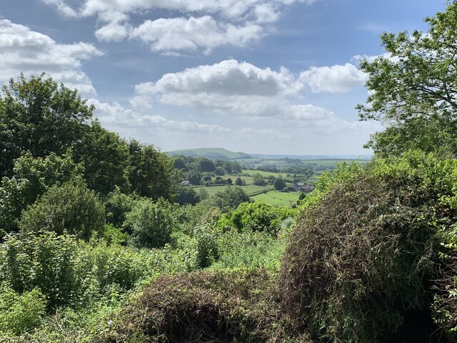
Lady's Copse is a picturesque woodland located in the county of Dorset, England. Covering an area of approximately 20 acres, this charming copse is nestled within the tranquil countryside and is renowned for its natural beauty and diverse flora and fauna.
The copse is predominantly composed of oak and beech trees, which provide a dense canopy that offers shade and shelter to a variety of wildlife. The forest floor is adorned with a carpet of bluebells in the spring, creating a striking display of color and fragrance.
Visitors to Lady's Copse can enjoy a peaceful and serene ambiance, perfect for those seeking a respite from the hustle and bustle of everyday life. The copse is crisscrossed with footpaths, allowing visitors to explore its enchanting woodland at their own pace. These paths lead to secluded clearings and hidden glades, providing opportunities for picnics and quiet contemplation.
The copse is home to a rich variety of wildlife, including deer, rabbits, and a plethora of bird species. Birdwatchers will be delighted to spot species such as woodpeckers, owls, and various songbirds. The copse's diverse ecosystem also supports a wide range of insect life, making it a haven for nature enthusiasts and photographers.
Lady's Copse is a cherished natural gem in Dorset, attracting visitors from far and wide who are drawn to its tranquility and natural charm. It offers a wonderful escape into nature, where one can immerse themselves in the beauty of the woodland and embrace the serenity it offers.
If you have any feedback on the listing, please let us know in the comments section below.
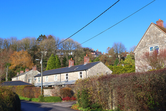
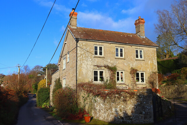
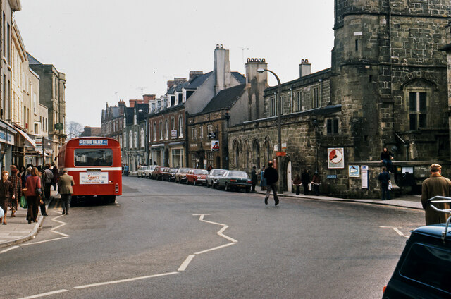
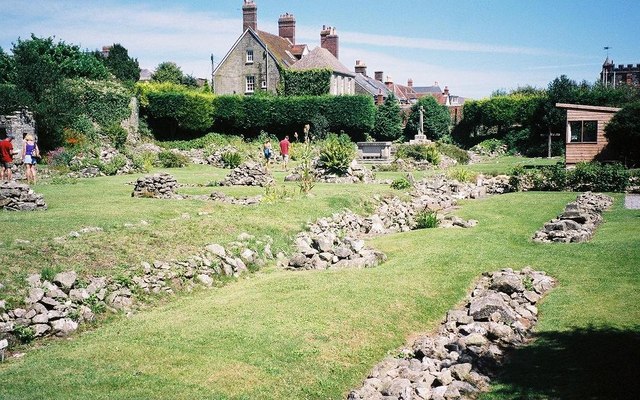
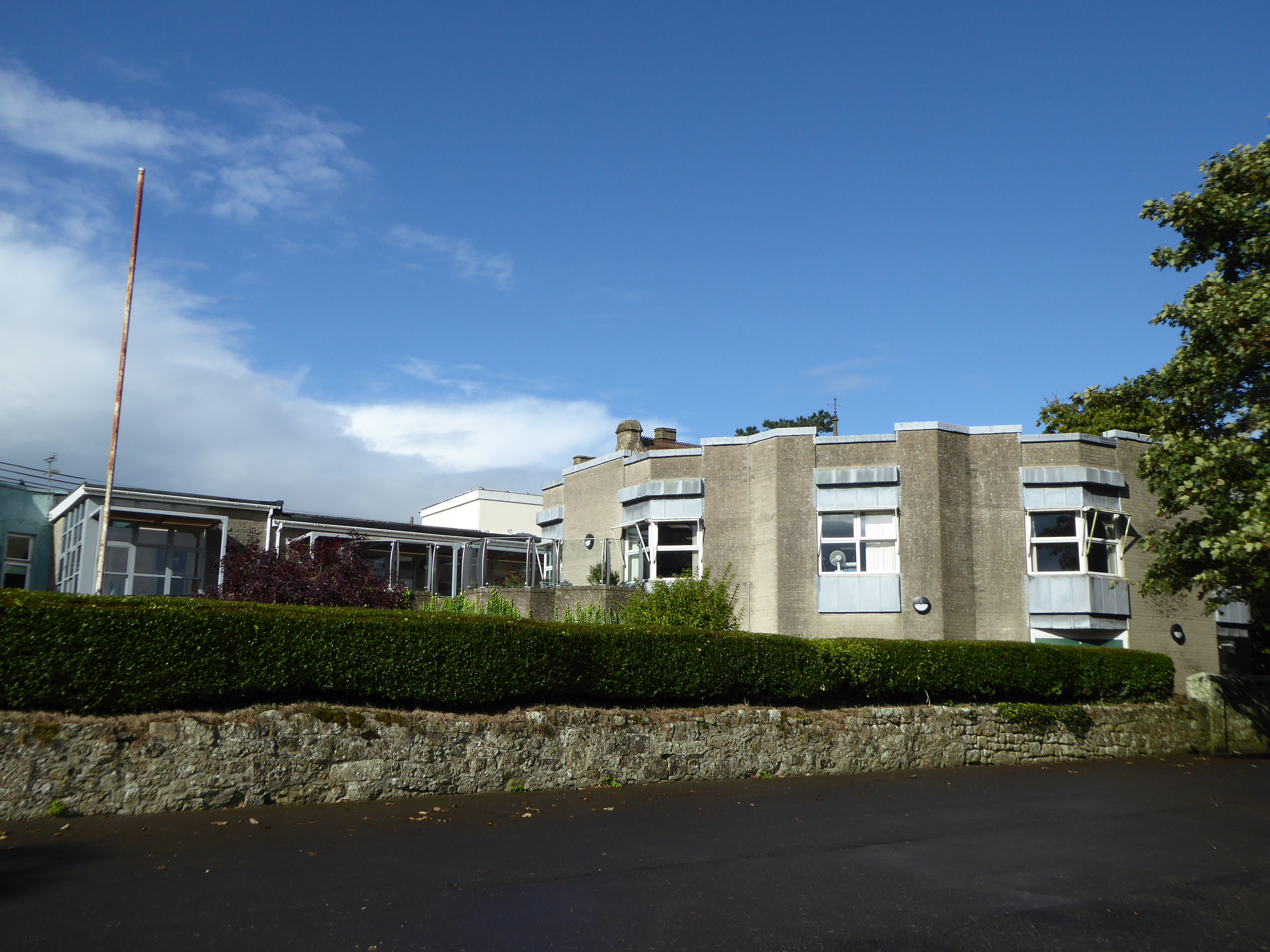
Lady's Copse Images
Images are sourced within 2km of 51.012827/-2.2032498 or Grid Reference ST8523. Thanks to Geograph Open Source API. All images are credited.


Lady's Copse is located at Grid Ref: ST8523 (Lat: 51.012827, Lng: -2.2032498)
Unitary Authority: Dorset
Police Authority: Dorset
What 3 Words
///reminder.proudest.wedge. Near Shaftesbury, Dorset
Nearby Locations
Related Wikis
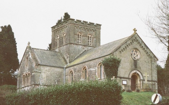
St John's Church, Enmore Green
St John's Church is a Church of England parish church in Enmore Green, Dorset, England. The church was designed by George Alexander and built in 1842–43...

North Dorset (UK Parliament constituency)
North Dorset is a constituency represented in the House of Commons of the UK Parliament since 2015 by Simon Hoare, a Conservative. == History == This seat...

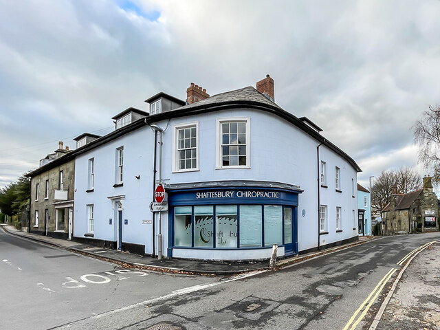
Shaftesbury
Shaftesbury () is a town and civil parish in Dorset, England. It is on the A30 road, 20 miles (32 kilometres) west of Salisbury and 19.4 miles (31 kilometres...
Shaftesbury Abbey
Shaftesbury Abbey was an abbey that housed nuns in Shaftesbury, Dorset. It was founded in about 888, and dissolved in 1539 during the English Reformation...

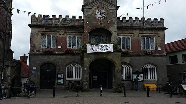
Shaftesbury Town Hall
Shaftesbury Town Hall is a municipal building in the High Street, Shaftesbury, Dorset, England. The town hall, which is the meeting place of Shaftsbury...
Westminster Memorial Hospital
The Westminster Memorial Hospital is a small community hospital in Shaftesbury, Dorset, England. It provides about 20 in-patient beds, a minor injuries...
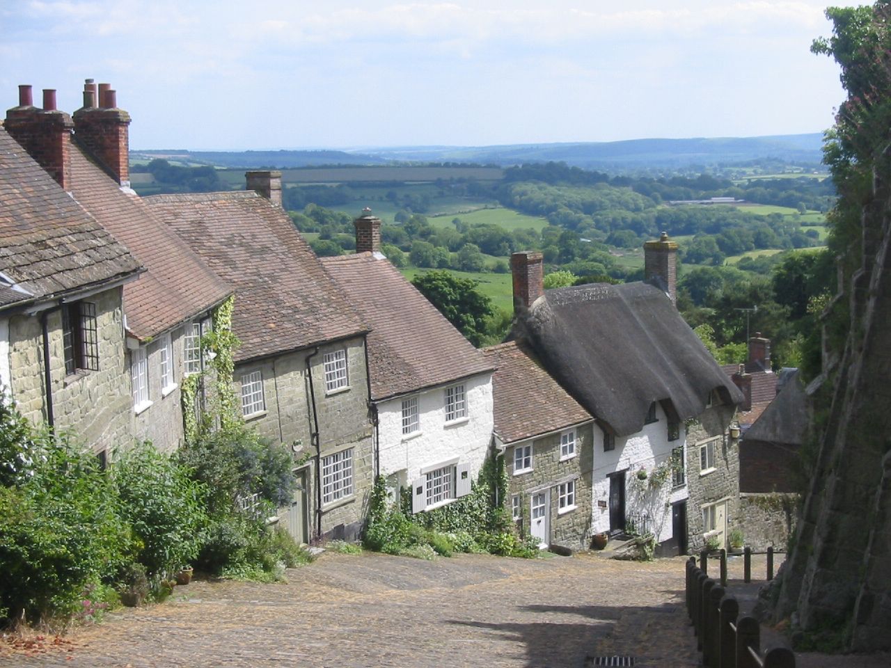
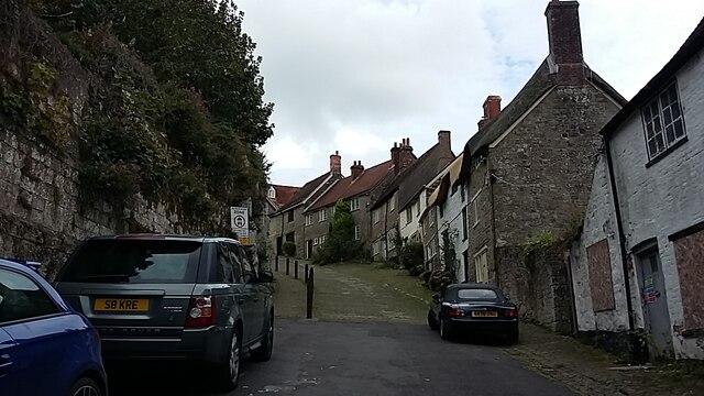
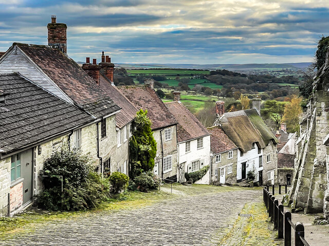
Gold Hill, Shaftesbury
Gold Hill is a steep cobbled street in the town of Shaftesbury in the English county of Dorset. The view looking down from the top of the street has been...

The Breeze (North Dorset)
Greatest Hits Radio Dorset (North Dorset) is an Independent Local Radio station serving North Dorset. == History == Launched on 25 June 1995 as Gold Radio...
Nearby Amenities
Located within 500m of 51.012827,-2.2032498Have you been to Lady's Copse?
Leave your review of Lady's Copse below (or comments, questions and feedback).