Hawker's Hill Plantation
Wood, Forest in Dorset
England
Hawker's Hill Plantation
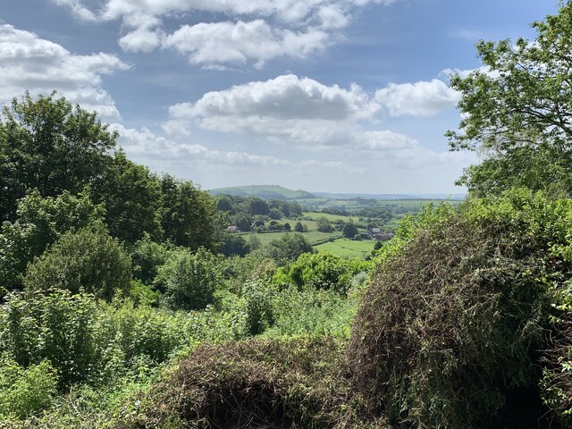
Hawker's Hill Plantation, located in Dorset, England, is a picturesque woodland estate that spans over several acres of lush forest. Nestled amidst the rolling hills of the county, this plantation is a haven for nature enthusiasts and history buffs alike.
The plantation is renowned for its dense woodland, which is predominantly composed of native tree species such as oak, beech, and ash. These trees provide a stunning backdrop, especially during the autumn months when the leaves change color, creating a vibrant tapestry of reds, oranges, and yellows.
The plantation is also home to a diverse range of wildlife, including deer, foxes, and a variety of bird species. Birdwatchers flock to Hawker's Hill to catch a glimpse of the elusive nightjar, as well as other rare bird species that find sanctuary within the forest.
Steeped in history, Hawker's Hill Plantation has a rich heritage dating back centuries. The estate was originally established in the 17th century as a hunting ground for local nobility. Over the years, it has changed hands several times and has been meticulously maintained to preserve its historical charm.
Visitors to Hawker's Hill can explore the numerous walking trails that wind through the plantation, providing an opportunity to immerse themselves in the natural beauty of the forest. The estate also offers guided tours, allowing visitors to learn about the history and significance of the plantation.
Overall, Hawker's Hill Plantation in Dorset is a must-visit destination for those seeking a peaceful retreat in the heart of nature, where history and natural beauty converge.
If you have any feedback on the listing, please let us know in the comments section below.
Hawker's Hill Plantation Images
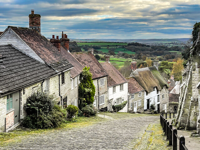
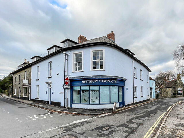
Images are sourced within 2km of 51.014979/-2.2115273 or Grid Reference ST8523. Thanks to Geograph Open Source API. All images are credited.


Hawker's Hill Plantation is located at Grid Ref: ST8523 (Lat: 51.014979, Lng: -2.2115273)
Unitary Authority: Dorset
Police Authority: Dorset
What 3 Words
///redouble.landowner.caring. Near Shaftesbury, Dorset
Nearby Locations
Related Wikis
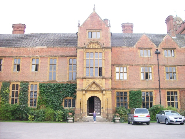
Port Regis School
Port Regis School is a co-educational preparatory school located in 140 acres of parkland on the Dorset-Wiltshire border in southern England, situated...
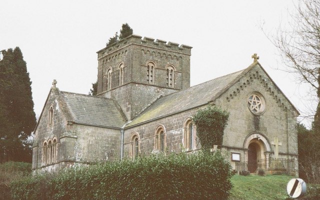
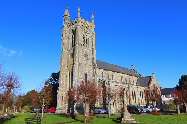
St John's Church, Enmore Green
St John's Church is a Church of England parish church in Enmore Green, Dorset, England. The church was designed by George Alexander and built in 1842–43...
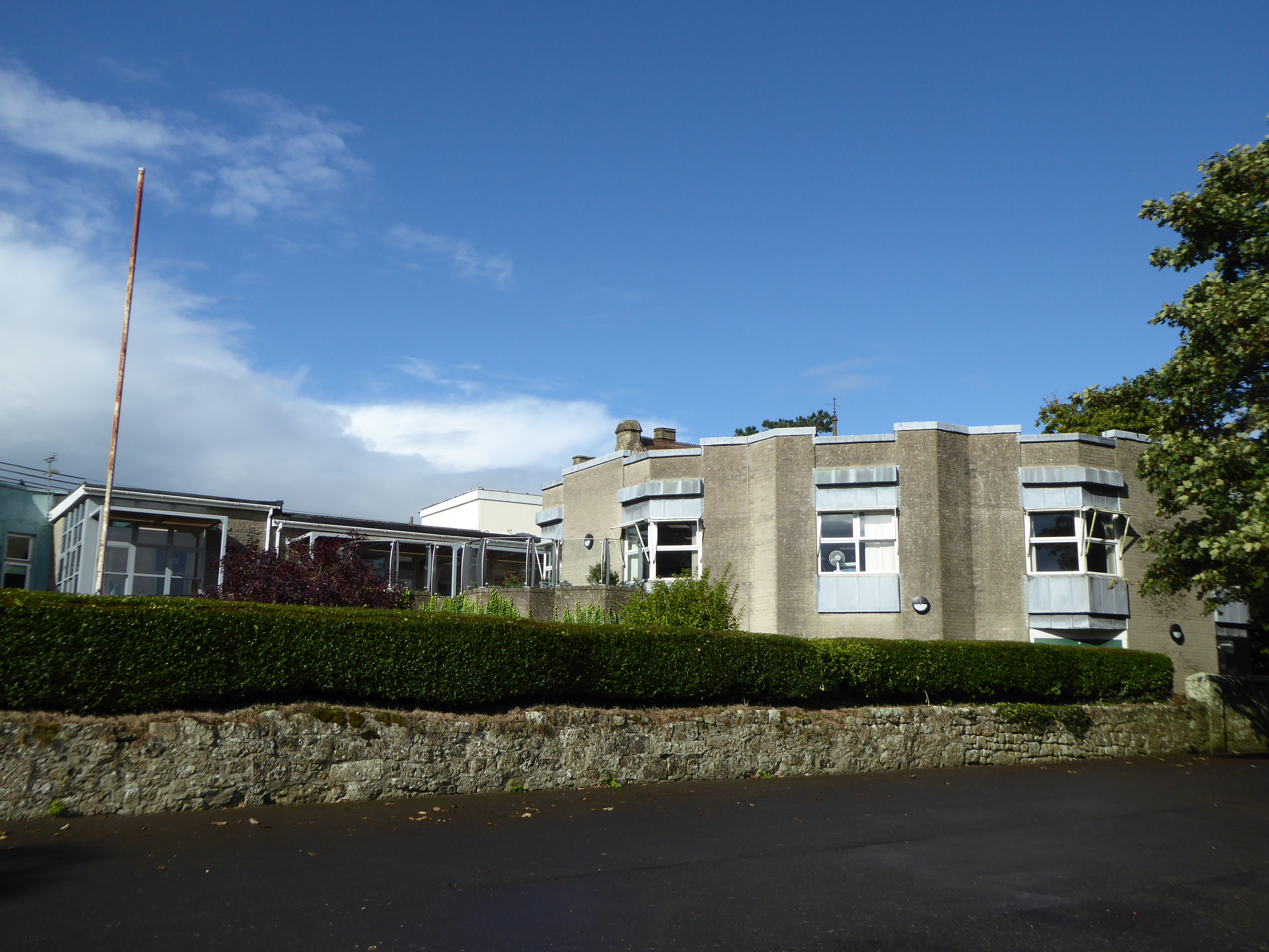
Westminster Memorial Hospital
The Westminster Memorial Hospital is a small community hospital in Shaftesbury, Dorset, England. It provides about 20 in-patient beds, a minor injuries...
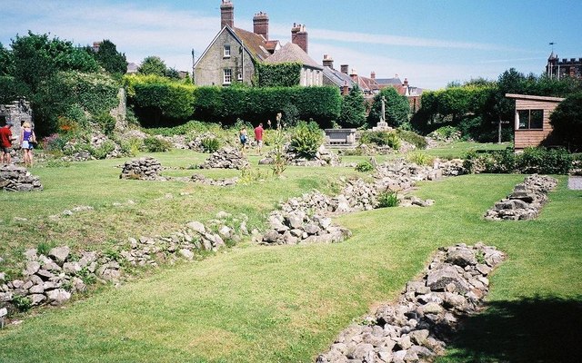
Shaftesbury Abbey
Shaftesbury Abbey was an abbey that housed nuns in Shaftesbury, Dorset. It was founded in about 888, and dissolved in 1539 during the English Reformation...
Nearby Amenities
Located within 500m of 51.014979,-2.2115273Have you been to Hawker's Hill Plantation?
Leave your review of Hawker's Hill Plantation below (or comments, questions and feedback).