Apperley Grove
Wood, Forest in Gloucestershire Tewkesbury
England
Apperley Grove
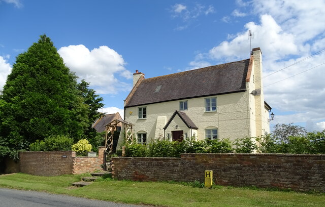
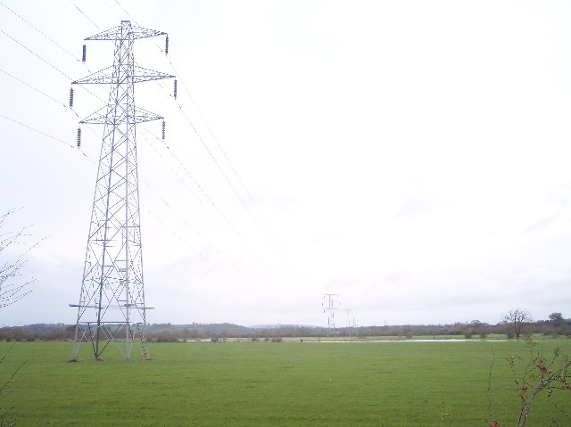
Apperley Grove is a small village located in the county of Gloucestershire, in the Wood district of the Forest of Dean. It is situated approximately 9 miles northwest of the city of Gloucester and 2 miles northeast of the town of Tewkesbury. The village is nestled amidst picturesque countryside, surrounded by lush green fields, rolling hills, and dense woodland.
The village of Apperley Grove is known for its tranquil and rural setting, offering residents and visitors a peaceful escape from the hustle and bustle of city life. The area is popular with nature enthusiasts and outdoor enthusiasts, as it provides ample opportunities for walking, hiking, and exploring the stunning natural surroundings.
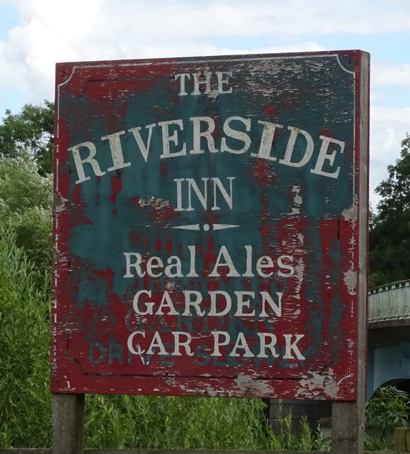
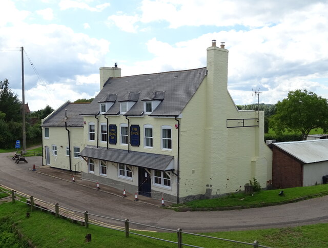
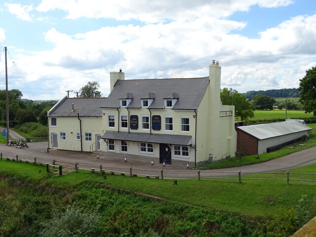
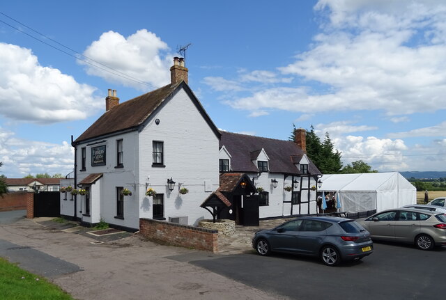
Despite its small size, Apperley Grove boasts a strong sense of community. The village is home to a close-knit population, and residents often come together for various social events and activities. The village also has a local pub, which serves as a gathering place for locals and visitors alike.
In terms of amenities, Apperley Grove is in close proximity to the town of Tewkesbury, where residents can find a range of facilities including shops, supermarkets, schools, and healthcare services. The village itself offers a peaceful and idyllic lifestyle, making it an attractive place to live for those seeking a quieter and more rural environment.
Overall, Apperley Grove in Gloucestershire is a picturesque village located in the heart of the Wood district within the Forest of Dean. It offers a peaceful and rural lifestyle, surrounded by stunning natural beauty, making it a desirable place to live or visit for those seeking a tranquil escape.
If you have any feedback on the listing, please let us know in the comments section below.
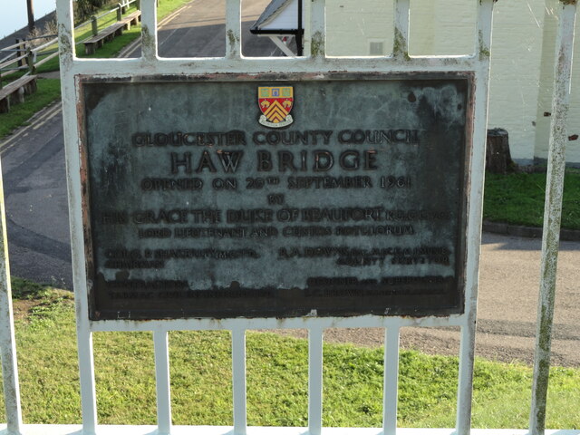
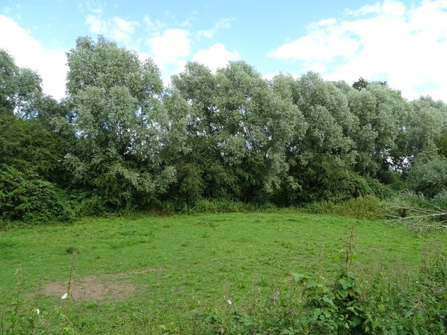
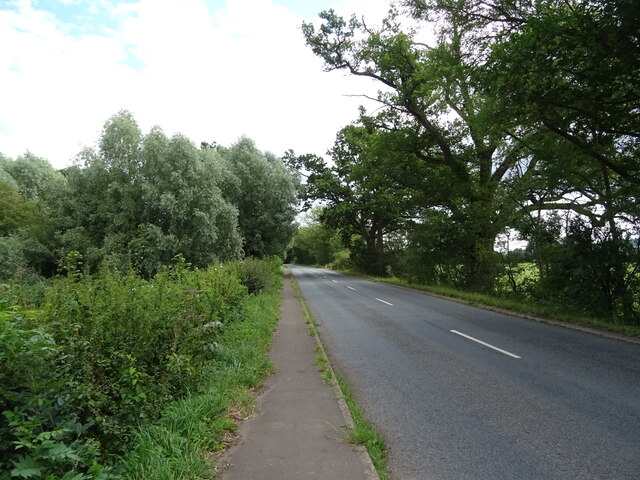
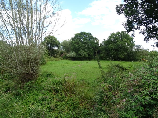
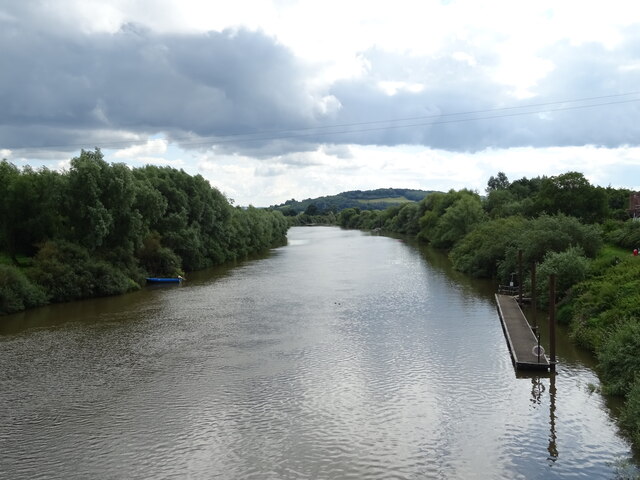
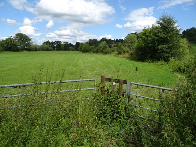
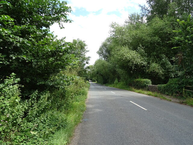
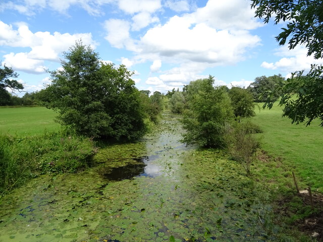
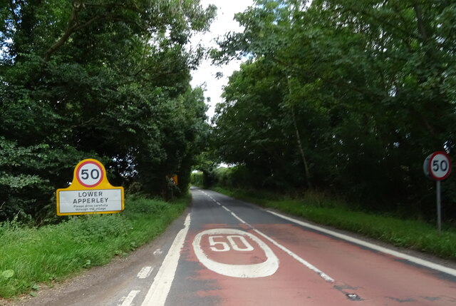
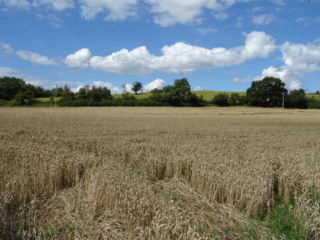
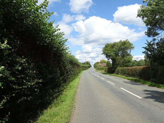
Apperley Grove Images
Images are sourced within 2km of 51.940854/-2.2158593 or Grid Reference SO8526. Thanks to Geograph Open Source API. All images are credited.

Apperley Grove is located at Grid Ref: SO8526 (Lat: 51.940854, Lng: -2.2158593)
Administrative County: Gloucestershire
District: Tewkesbury
Police Authority: Gloucestershire
What 3 Words
///carpentry.rapport.cleans. Near Corse, Gloucestershire
Nearby Locations
Related Wikis

River Chelt
The River Chelt is a tributary of England's largest river, the Severn. The Chelt flows through the western edge of the Cotswolds and the town of Cheltenham...

Wainlode Cliff
Wainlode Cliff (grid reference SO845257) is a 1.3 hectare geological Site of Special Scientific Interest in Gloucestershire, notified in 1954. It overlooks...

Apperley
Apperley is a village in Gloucestershire, England, about 3 miles (5 km) southwest of Tewkesbury, 1 mile (1.6 km) south of Deerhurst and 1⁄3 mile (0.5 km...

Tirley
Tirley is a village and civil parish in Gloucestershire, England. It is located in the Borough of Tewkesbury district, 4 mi (6 km) south-west of Tewkesbury...
Ashleworth Ham
Ashleworth Ham (grid reference SO833263) is a 104.73-hectare (258.8-acre) biological Site of Special Scientific Interest. It is a large area of grassland...

Leigh, Gloucestershire
Leigh is a village and civil parish in the district of Tewkesbury, in the county of Gloucestershire, England. As of 2019, it has a population of 325....

Hasfield
Hasfield is a civil parish in Gloucestershire, England, and lies six miles (9.7 km) south-west of Tewkesbury and seven miles (11 km) north of Gloucester...

Deerhurst
Deerhurst is a village and civil parish in Gloucestershire, England, about 2 miles (3 km) southwest of Tewkesbury. The village is on the east bank of the...
Nearby Amenities
Located within 500m of 51.940854,-2.2158593Have you been to Apperley Grove?
Leave your review of Apperley Grove below (or comments, questions and feedback).