Cobney Meadows

Downs, Moorland in Gloucestershire Tewkesbury

England

Cobney Meadows

Old Bridge Marker on Haw Bridge beside the B4213 Bridge Marker fixed to the parapet of Haw Bridge on the south side of the B4213. Tirley parish. See also <a title="https://www.geograph.org.uk/photo/4976603" href="https://www.geograph.org.uk/photo/4976603">Link</a>. There is a similar plaque on the opposite parapet detailing the history of the bridge.

Milestone Society National ID: GL_TIRLEY01br
Old Bridge Marker on Haw Bridge beside the B4213 Credit: Roadside Relics

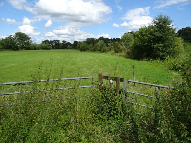
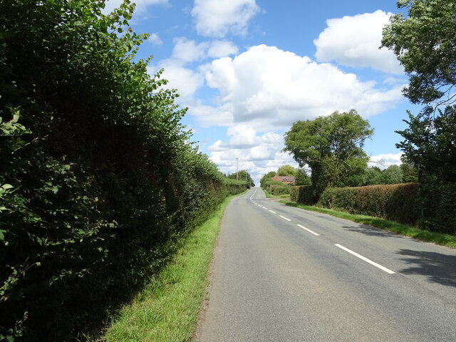
Cobney Meadows is a picturesque area located in the county of Gloucestershire, England. Situated in the southwest of the county, it is a diverse landscape that encompasses both downs and moorland. The meadows are part of the larger Cotswolds Area of Outstanding Natural Beauty, known for its stunning countryside and charming villages.

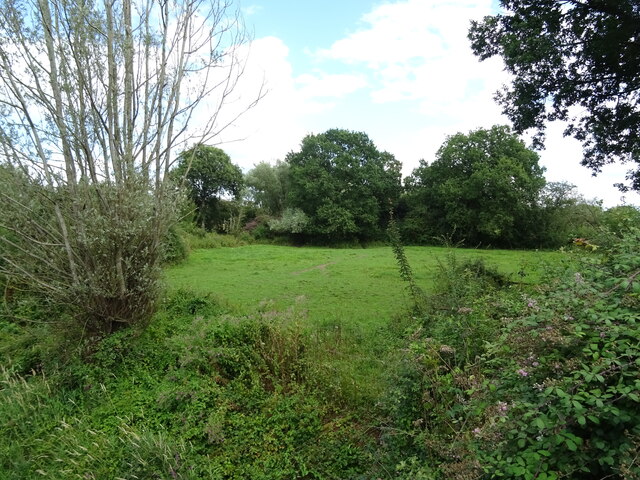
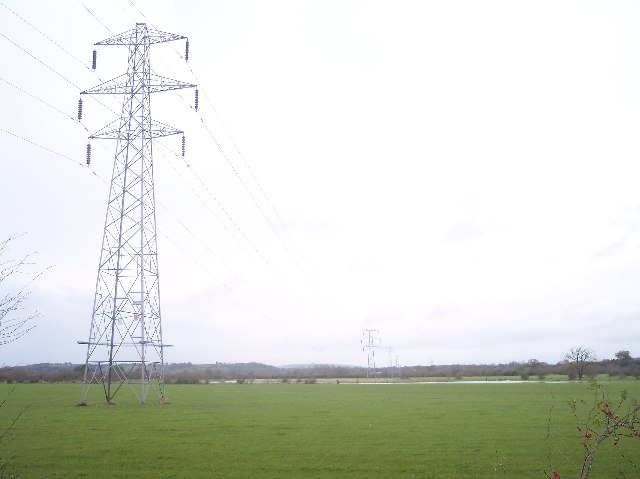
Cobney Meadows is characterized by its rolling hills, vast open spaces, and rich biodiversity. The downs, which dominate the area, are grassy slopes that offer breathtaking panoramic views of the surrounding countryside. These downs are home to a variety of plant and animal species, including rare orchids, butterflies, and skylarks.

The moorlands of Cobney Meadows are equally awe-inspiring. With their rugged terrain and wild vegetation, they provide a habitat for many rare and protected species. The moors are particularly known for their heather-covered expanses, which create a vibrant purple carpet during late summer.

Visitors to Cobney Meadows can enjoy a range of outdoor activities, including hiking, birdwatching, and photography. There are well-maintained footpaths and trails that allow visitors to explore the area at their own pace. Additionally, the meadows are a popular spot for picnics and family gatherings, providing a peaceful and idyllic setting for relaxation.

Cobney Meadows is a true gem in the Gloucestershire countryside, offering a unique blend of downs and moorland. Its natural beauty, tranquility, and diverse wildlife make it a must-visit destination for nature enthusiasts and those seeking a peaceful escape from the hustle and bustle of everyday life.

If you have any feedback on the listing, please let us know in the comments section below.

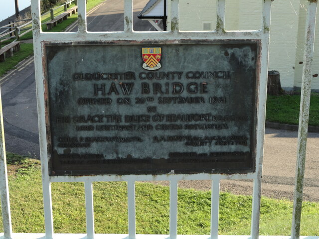
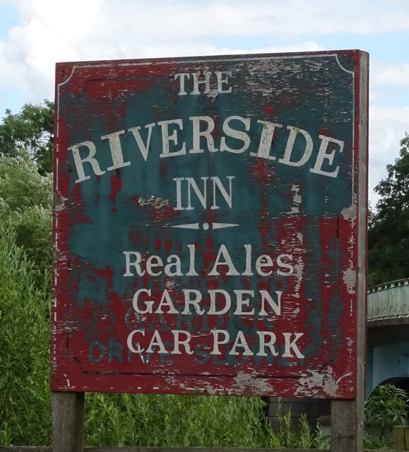
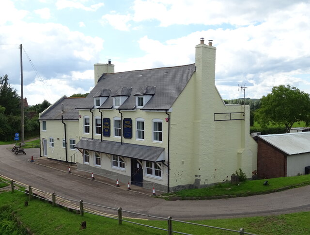
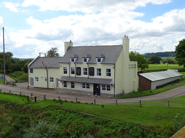
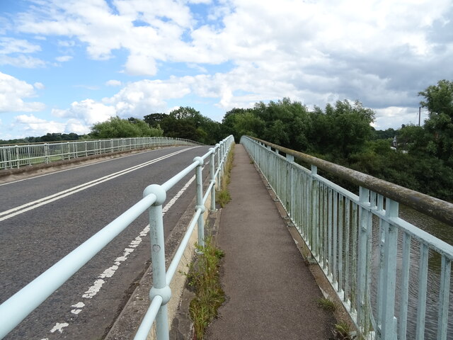
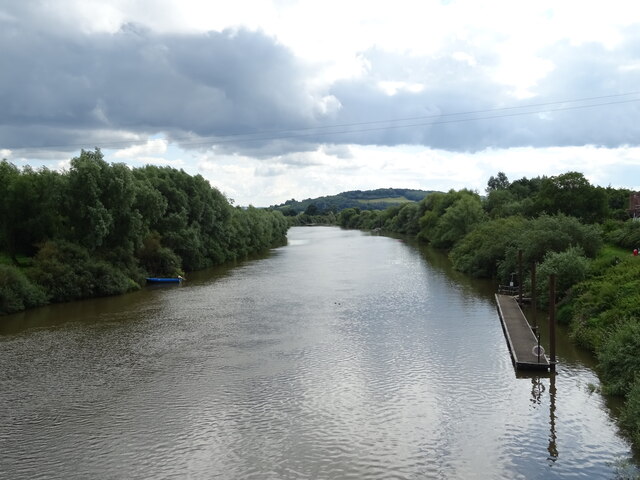
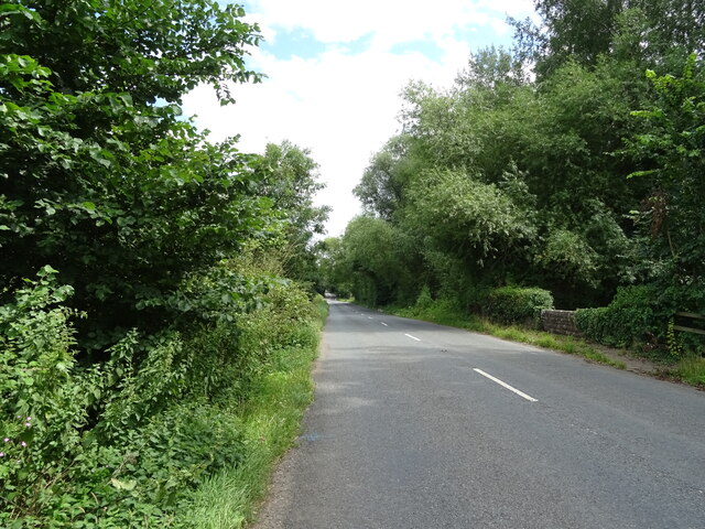
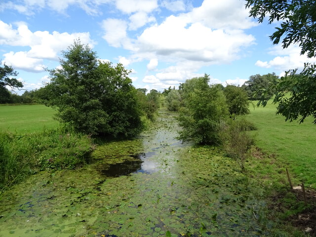
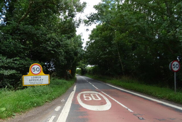
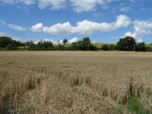
Cobney Meadows Images

Images are sourced within 2km of 51.93526/-2.2169233 or Grid Reference SO8526. Thanks to Geograph Open Source API. All images are credited.

Old Bridge Marker on Haw Bridge beside the B4213 Bridge Marker fixed to the parapet of Haw Bridge on the south side of the B4213. Tirley parish. See also <a title="https://www.geograph.org.uk/photo/4976603" href="https://www.geograph.org.uk/photo/4976603">Link</a>. There is a similar plaque on the opposite parapet detailing the history of the bridge.

Milestone Society National ID: GL_TIRLEY01br
Old Bridge Marker on Haw Bridge beside the B4213
Bridge Marker fixed to the parapet of Haw Bridge on the south side of the B4213. Tirley parish. See also Link. There is a similar plaque on the opposite parapet detailing the history of the bridge. Milestone Society National ID: GL_TIRLEY01br
Grazing towards drain near the River Severn
Old side for the Riverside Inn  The pub has now closed - see <a href="https://www.geograph.org.uk/photo/4976588">SO8427 : The Riverside Inn</a> for happier times.
Old side for the Riverside Inn
The pub has now closed - see SO8427 : The Riverside Inn for happier times.
The Haw Bridge Inn  From Haw Bridge.
The Haw Bridge Inn
From Haw Bridge.
The Haw Bridge Inn  From Haw Bridge.
The Haw Bridge Inn
From Haw Bridge.
On Haw Bridge Crossing the River Severn on the B4213.
On Haw Bridge
Crossing the River Severn on the B4213.
The River Severn View downstream from Haw Bridge.
The River Severn
View downstream from Haw Bridge.
Bridleway off the B4213
B4213 towards Lower Apperley
Handkerchief Pool A narrow pool on the flood plain.
Handkerchief Pool
A narrow pool on the flood plain.
Entering Lower Apperley On the B4213.
Entering Lower Apperley
On the B4213.
Cereal crop, Lower Apperley
B4213, Lower Apperley Towards the A38.
B4213, Lower Apperley
Towards the A38.
George VI postbox, Haw Bridge Postbox No. GL19 321.

See <a href="https://www.geograph.org.uk/photo/6949191">SO8427 : Riverside Inn, Haw Bridge</a> for context.
George VI postbox, Haw Bridge
Postbox No. GL19 321. See SO8427 : Riverside Inn, Haw Bridge for context.
Riverside Inn, Haw Bridge Showing position of Postbox No. GL19 321.

See <a href="https://www.geograph.org.uk/photo/6949189">SO8427 : George VI postbox, Haw Bridge</a> for postbox.
Riverside Inn, Haw Bridge
Showing position of Postbox No. GL19 321. See SO8427 : George VI postbox, Haw Bridge for postbox.
Haw Bridge, Tirley Steel. Built 1959-61 by S.C. Brown for the county council.
It carries the B4213 over the Severn.
Haw Bridge, Tirley
Steel. Built 1959-61 by S.C. Brown for the county council. It carries the B4213 over the Severn.
Gazebo near Tirley An enhancement to Haw Farm when it was tarted up in the early C18th. Grade II listed.
Gazebo near Tirley
An enhancement to Haw Farm when it was tarted up in the early C18th. Grade II listed.
Malt House near Tirley Dated c1800. Domestic accommodation would have been at the front. Grade II listed.
Malt House near Tirley
Dated c1800. Domestic accommodation would have been at the front. Grade II listed.
Show me another place!

Cobney Meadows is located at Grid Ref: SO8526 (Lat: 51.93526, Lng: -2.2169233)

Administrative County: Gloucestershire

District: Tewkesbury

Police Authority: Gloucestershire

What 3 Words

///poppy.cookers.underline. Near Corse, Gloucestershire

Related Wikis

River Chelt

The River Chelt is a tributary of England's largest river, the Severn. The Chelt flows through the western edge of the Cotswolds and the town of Cheltenham...

Wainlode Cliff

Wainlode Cliff (grid reference SO845257) is a 1.3 hectare geological Site of Special Scientific Interest in Gloucestershire, notified in 1954. It overlooks...

Ashleworth Ham

Ashleworth Ham (grid reference SO833263) is a 104.73-hectare (258.8-acre) biological Site of Special Scientific Interest. It is a large area of grassland...

Apperley

Apperley is a village in Gloucestershire, England, about 3 miles (5 km) southwest of Tewkesbury, 1 mile (1.6 km) south of Deerhurst and 1⁄3 mile (0.5 km...

Leigh, Gloucestershire

Leigh is a village and civil parish in the district of Tewkesbury, in the county of Gloucestershire, England. As of 2019, it has a population of 325....

Norton, Gloucestershire

Norton is a settlement and civil parish in the English county of Gloucestershire. == Overview == The main settlements in the parish are the three hamlets...

Tirley

Tirley is a village and civil parish in Gloucestershire, England. It is located in the Borough of Tewkesbury district, 4 mi (6 km) south-west of Tewkesbury...

Hasfield

Hasfield is a civil parish in Gloucestershire, England, and lies six miles (9.7 km) south-west of Tewkesbury and seven miles (11 km) north of Gloucester...

Nearby Amenities

Located within 500m of 51.93526,-2.2169233
Barrier: cattle_grid
Lat/Long: 51.9389615/-2.2199778
Barrier: stile
Lat/Long: 51.9356085/-2.2228115
Power: tower
Source: Bing aerial imagery
Lat/Long: 51.9331395/-2.2162075
Power: tower
Source: Bing aerial imagery
Lat/Long: 51.935716/-2.2235245
Power: tower
Source: Bing aerial imagery
Lat/Long: 51.9346279/-2.2204614
Barrier: stile
Lat/Long: 51.933917/-2.2213609
The data included in this document is from www.openstreetmap.org. The data is made available under ODbL.

Have you been to Cobney Meadows?

Leave your review of Cobney Meadows below (or comments, questions and feedback).