Ashmoor Common

Downs, Moorland in Worcestershire Malvern Hills

England

Ashmoor Common

Milestone, A38 at Baynhall The remains of a milestone beside the A38 at Baynhall to the south of the village of Kempsey.  Since photographing this milestone it has had the plate replaced, see: <a href="https://www.geograph.org.uk/photo/3057856">SO8547 : Milestone on Baynhall</a>
Milestone, A38 at Baynhall Credit: Philip Halling

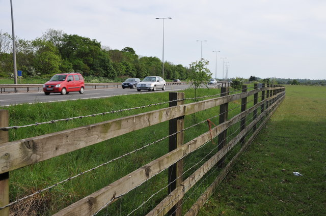
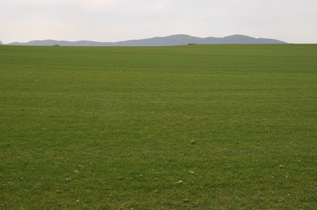
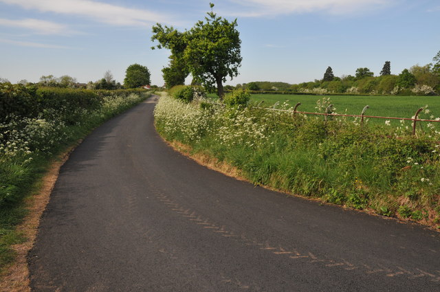
Ashmoor Common is a picturesque area located in Worcestershire, England, known for its stunning downs and moorland landscapes. Covering an area of approximately 500 acres, the common is situated on the outskirts of the village of Ashmoor, surrounded by rolling hills and lush greenery.

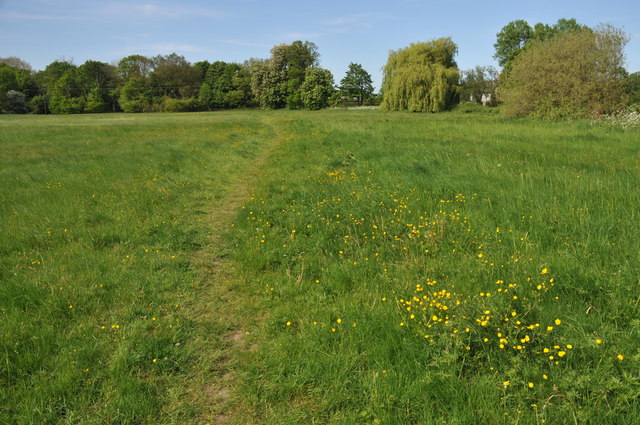
The common is characterized by its diverse flora and fauna, offering a habitat for numerous species of plants and wildlife. The downs are adorned with vibrant wildflowers in the spring and summer months, creating a colorful spectacle against the backdrop of the open landscape. Visitors can expect to see a variety of plant species such as heather, gorse, and bracken, which thrive in the nutrient-poor soil.

The moorland section of Ashmoor Common is a haven for birdwatchers and nature enthusiasts. The area is home to several species of birds, including skylarks, stonechats, and meadow pipits, which can be spotted darting through the air or perched on the heather-covered hillsides. The moorland also provides a nesting ground for rare and endangered birds, making it a vital conservation area.

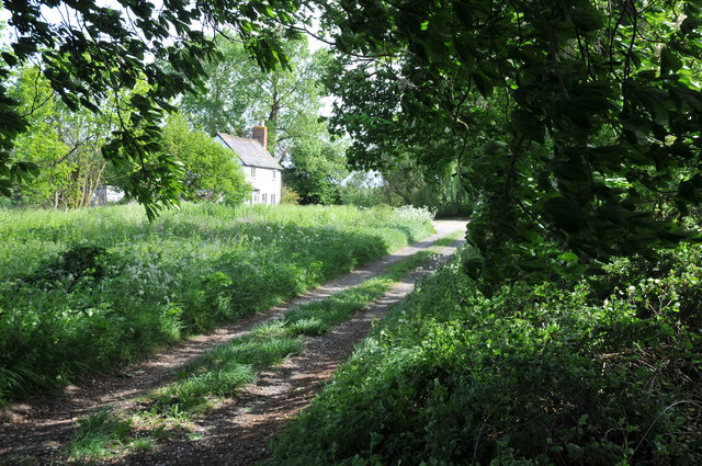
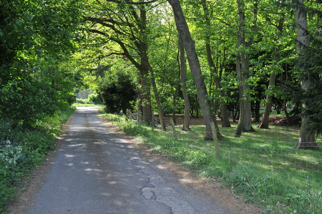
Visitors to Ashmoor Common can enjoy the peaceful surroundings and take leisurely walks along the well-established footpaths that crisscross the area. The common offers breathtaking panoramic views of the Worcestershire countryside, making it a popular spot for photography and nature lovers alike.

With its untouched beauty and serene atmosphere, Ashmoor Common is a must-visit destination for those seeking a tranquil escape in the heart of nature.

If you have any feedback on the listing, please let us know in the comments section below.

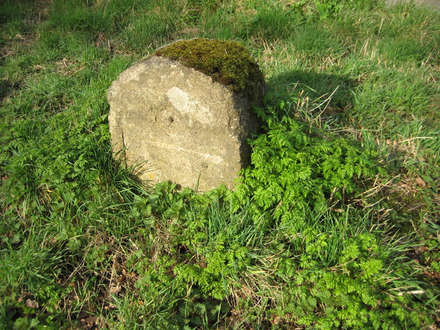
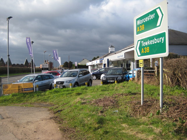
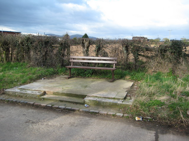
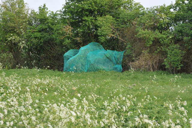
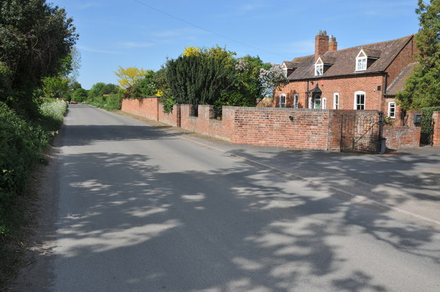
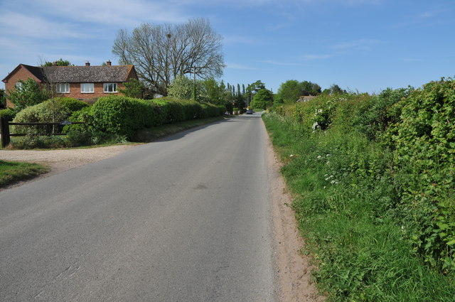
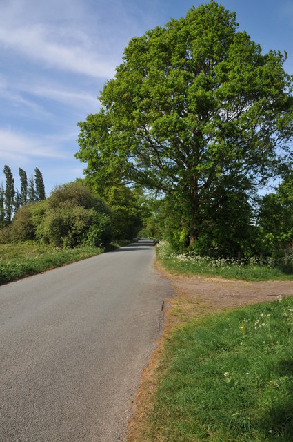
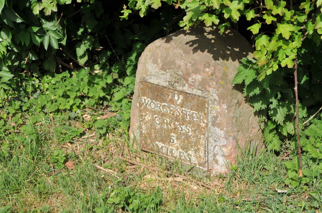
Ashmoor Common Images

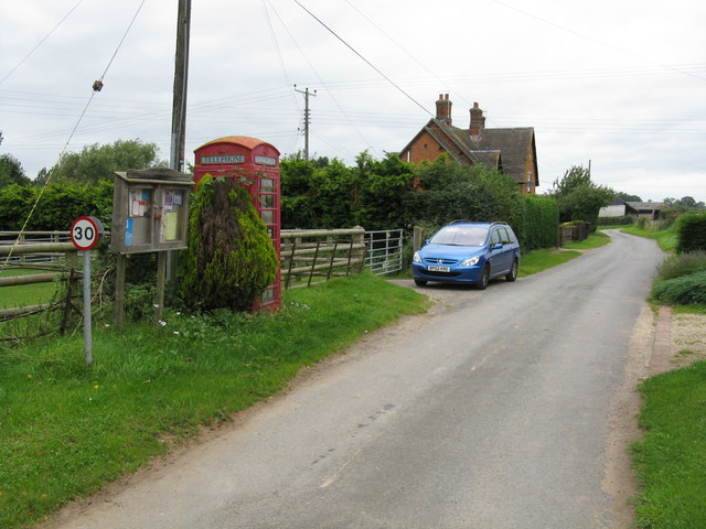
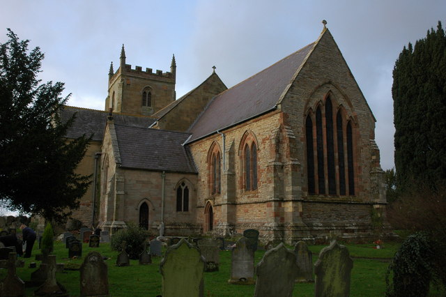
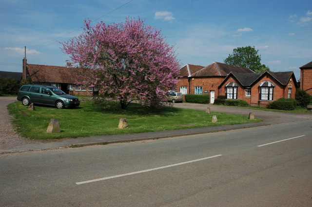
Images are sourced within 2km of 52.118353/-2.2178558 or Grid Reference SO8546. Thanks to Geograph Open Source API. All images are credited.

Milestone, A38 at Baynhall The remains of a milestone beside the A38 at Baynhall to the south of the village of Kempsey.  Since photographing this milestone it has had the plate replaced, see: <a href="https://www.geograph.org.uk/photo/3057856">SO8547 : Milestone on Baynhall</a>
Milestone, A38 at Baynhall
The remains of a milestone beside the A38 at Baynhall to the south of the village of Kempsey. Since photographing this milestone it has had the plate replaced, see: SO8547 : Milestone on Baynhall
Baynhall Garage Baynhall Garage is a car dealership for Mazda, KIA and Daihatsu and is situated on the A38 to the south of Kempsey.
Baynhall Garage
Baynhall Garage is a car dealership for Mazda, KIA and Daihatsu and is situated on the A38 to the south of Kempsey.
Bus stop at Baynhall Until recently there was a bus shelter here until it was demolished, now all that remains is a seat.
Bus stop at Baynhall
Until recently there was a bus shelter here until it was demolished, now all that remains is a seat.
Netting over a hedge at Kerswell Green This curious netting appeared over this hedge about a month ago, an internet search has revealed this is likely to stop birds nesting before the hedge is grubbed out to make an entrance.  

Soon after work began on building a sewage treatment works. <a href="https://www.geograph.org.uk/photo/4093553">SO8646 : Kerswell Green sewage treatment works</a>
Netting over a hedge at Kerswell Green
This curious netting appeared over this hedge about a month ago, an internet search has revealed this is likely to stop birds nesting before the hedge is grubbed out to make an entrance. Soon after work began on building a sewage treatment works. SO8646 : Kerswell Green sewage treatment works
Netting over a hedge at Kerswell Green This curious netting appeared over this hedge about a month ago, an internet search has revealed this is likely to stop birds nesting before the hedge is grubbed out to make an entrance.
Netting over a hedge at Kerswell Green
This curious netting appeared over this hedge about a month ago, an internet search has revealed this is likely to stop birds nesting before the hedge is grubbed out to make an entrance.
Cottages at Kerswell Green Unfortunately the proximity and noise of the nearby traffic on the M5 motorway detracts from the rural scene.
Cottages at Kerswell Green
Unfortunately the proximity and noise of the nearby traffic on the M5 motorway detracts from the rural scene.
Road through Kerswell Green Cottage beside the road through Kerswell Green.
Road through Kerswell Green
Cottage beside the road through Kerswell Green.
Road through Kerswell Green
Road out of Kerswell Green Country road leaving the north end of the small hamlet of Kerswell Green near Kempsey.
Road out of Kerswell Green
Country road leaving the north end of the small hamlet of Kerswell Green near Kempsey.
Milestone in Kerswell Green Milestone on the roadside in Kerswell Green indicating it is 6 miles to Worcester Cross.
Milestone in Kerswell Green
Milestone on the roadside in Kerswell Green indicating it is 6 miles to Worcester Cross.
Normoor Common, Kerswell Green Normoor Common small piece of common land at Kerswell Green.
Normoor Common, Kerswell Green
Normoor Common small piece of common land at Kerswell Green.
Cottage on Normoor Common Cottage overlooking Normoor Common near Kerswell Green.
Cottage on Normoor Common
Cottage overlooking Normoor Common near Kerswell Green.
Road to Park Farm This is a no through road giving access to Park Farm which is on the other side of the M5 motorway.
Road to Park Farm
This is a no through road giving access to Park Farm which is on the other side of the M5 motorway.
Pond at Kerswell Green This small pond is beside a sharp bend in the road to the north of Kerswell Green.
Pond at Kerswell Green
This small pond is beside a sharp bend in the road to the north of Kerswell Green.
Traffic on the M5 motorway Traffic travelling north on the M5 motorway to the south of Worcester viewed from the footpath adjacent to the road.
Traffic on the M5 motorway
Traffic travelling north on the M5 motorway to the south of Worcester viewed from the footpath adjacent to the road.
The Malvern Hills viewed from the east The Malvern Hills viewed from the east near the M5 motorway above the village of Kempsey.  The grass in the foreground is short because it is being grown to produce lawn turf.
The Malvern Hills viewed from the east
The Malvern Hills viewed from the east near the M5 motorway above the village of Kempsey. The grass in the foreground is short because it is being grown to produce lawn turf.
Road junction at Napleton
Country Lane at Napleton Country Lane at Napleton near Kempsey.
Country Lane at Napleton
Country Lane at Napleton near Kempsey.
Show me another place!

Ashmoor Common is located at Grid Ref: SO8546 (Lat: 52.118353, Lng: -2.2178558)

Administrative County: Worcestershire

District: Malvern Hills

Police Authority: West Mercia

What 3 Words

///nearing.escapades.squeaking. Near Kempsey, Worcestershire

Related Wikis

Clifton, Worcestershire

Clifton is a village in Worcestershire, England.

Kerswell Green

Kerswell Green is a village in Worcestershire, England.

Draycott, Worcestershire

Draycott is a hamlet in the English county of Worcestershire. It is located on the A38 road due south of the city of Worcester. It forms part of the civil...

The Rhydd

The Rhydd (formerly Rhydd Court) is an English country house alongside the River Severn, near the village of Hanley Castle, Worcestershire, about halfway...

Kempsey, Worcestershire

Kempsey is a village and civil parish in the Malvern Hills District in the county of Worcestershire, England. It is bounded by the River Severn on the...

Clevelode

Clevelode is a small village in Worcestershire, England. It is located around 5 miles south of Worcester just to the west of the River Severn. Clevelode...

Severn Stoke

Severn Stoke is an English village and civil parish in the Malvern Hills District, in the south of the county of Worcestershire, alongside the A38 trunk...

High Green, Worcestershire

High Green is a village in Worcestershire, England.

Nearby Amenities

Located within 500m of 52.118353,-2.2178558
Bus Stop
Clifton (Southbound)
Bus: yes
Naptan AtcoCode: 2000G059805
Naptan Bearing: S
Naptan CommonName: Clifton (Southbound)
Naptan Indicator: Southbound
Naptan Landmark: Clifton Court
Naptan NaptanCode: wocdjwda
Naptan Street: Worcester Road (A38)
Naptan Verified: no
Public Transport: platform
Source: naptan_import
Lat/Long: 52.1162607/-2.2218405
Bus Stop
Clifton
Bus: yes
Naptan AtcoCode: 2000G059806
Naptan Bearing: N
Naptan CommonName: Clifton
Naptan Indicator: Northbound
Naptan NaptanCode: wocdgmdg
Naptan Street: Worcester Road (A38)
Naptan Verified: no
Public Transport: platform
Source: naptan_import
Lat/Long: 52.1163052/-2.2221036
Barrier: stile
Foot: yes
Lat/Long: 52.115906/-2.2157162
Barrier: stile
Foot: yes
Lat/Long: 52.11637/-2.2129905
Ford: stepping_stones
Lat/Long: 52.1161536/-2.2147016
Barrier: stile
Foot: yes
Lat/Long: 52.1159753/-2.2154968
Parking
Parking: layby
Lat/Long: 52.1169864/-2.2220787
Parking
Parking: layby
Lat/Long: 52.1150017/-2.2213706
Power: pole
Lat/Long: 52.1160294/-2.2127956
Power: pole
Lat/Long: 52.1164396/-2.2236881
Power: pole
Lat/Long: 52.1160871/-2.2222745
Power: pole
Lat/Long: 52.1160937/-2.2217435
Power: pole
Lat/Long: 52.1161052/-2.220574
Power: pole
Lat/Long: 52.1160887/-2.2191846
Power: pole
Lat/Long: 52.116092/-2.2176772
Power: pole
Lat/Long: 52.1160789/-2.2161859
Power: pole
Lat/Long: 52.1160797/-2.2138819
Power: pole
Lat/Long: 52.116932/-2.2168592
Power: pole
Lat/Long: 52.1175052/-2.2174385
Power: pole
Lat/Long: 52.1180129/-2.2178995
Power: pole
Lat/Long: 52.1186004/-2.2184329
Power: pole
Lat/Long: 52.1192444/-2.2190076
Power: pole
Lat/Long: 52.119904/-2.2195883
Power: pole
Lat/Long: 52.1205355/-2.2201717
Power: pole
Lat/Long: 52.1214265/-2.2201073
Power: pole
Lat/Long: 52.1223141/-2.2200483
Power: pole
Lat/Long: 52.1161011/-2.2149776
The data included in this document is from www.openstreetmap.org. The data is made available under ODbL.

Have you been to Ashmoor Common?

Leave your review of Ashmoor Common below (or comments, questions and feedback).