Long Cross

Settlement in Somerset

England

Long Cross

Felton (Somerset) St Katherine's Church A green oasis next to the rapidly expanding Bristol International Airport
Felton (Somerset) St Katherine's Church Credit: ChurchCrawler

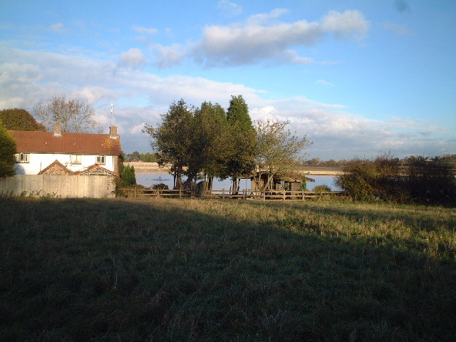
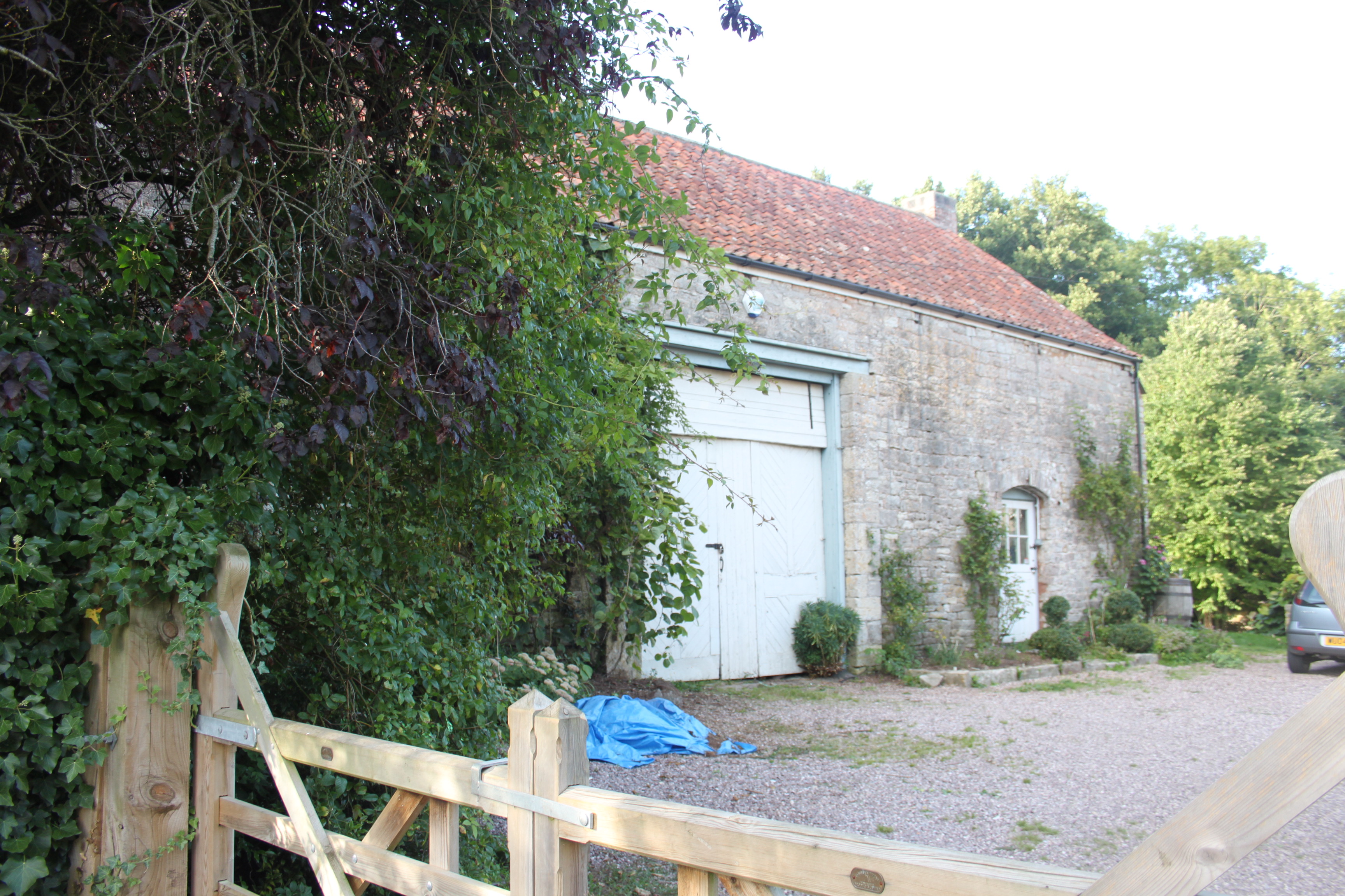
Long Cross is a small hamlet located in the county of Somerset, England. Situated approximately 3 miles south of the town of Axbridge, it is nestled within the picturesque Mendip Hills Area of Outstanding Natural Beauty. Long Cross is surrounded by rolling countryside, providing residents and visitors alike with stunning views and opportunities for outdoor activities.

The hamlet itself consists of a cluster of traditional stone houses and cottages, giving it a charming and quintessentially English feel. The architecture in Long Cross reflects its rural setting, with many of the buildings dating back several centuries. The local community is tight-knit and friendly, with a strong sense of community spirit.

Long Cross is renowned for its peaceful and tranquil atmosphere, making it an ideal destination for those looking to escape the hustle and bustle of city life. The surrounding countryside offers ample opportunities for walking, cycling, and horse riding, with numerous footpaths and bridleways crisscrossing the area.

Although Long Cross is a small hamlet, it benefits from its proximity to nearby towns and amenities. The town of Axbridge, with its range of shops, cafes, and pubs, is just a short drive away, providing residents with easy access to everyday essentials. Additionally, the larger city of Bristol is within commuting distance, offering a wider range of amenities, employment opportunities, and cultural attractions.

Overall, Long Cross is a peaceful and idyllic hamlet, perfect for those seeking a rural retreat within easy reach of local amenities and stunning countryside.

If you have any feedback on the listing, please let us know in the comments section below.

Long Cross Images

Images are sourced within 2km of 51.386293/-2.6809113 or Grid Reference ST5265. Thanks to Geograph Open Source API. All images are credited.

Felton (Somerset) St Katherine's Church A green oasis next to the rapidly expanding Bristol International Airport
Felton (Somerset) St Katherine's Church
A green oasis next to the rapidly expanding Bristol International Airport
Barrow Reservoir
Barrow Reservoir
Bristol Airport The border fence of the airport. the orange things are part of the all weather landing system.
Bristol Airport
The border fence of the airport. the orange things are part of the all weather landing system.
Superb views across Bristol International Airport to Mendip beyond
View from top looking South East
Looking over the Barrow Tanks towards Bristol
Towards Dundry and the twin radio masts
Across the tanks towards Long Ashton
Hartcliffe Rocks Note the level landfill at the  base of the rocks
Hartcliffe Rocks
Note the level landfill at the base of the rocks
Hartcliffe Rock This must have been quite imposing before the landfill was laid
Hartcliffe Rock
This must have been quite imposing before the landfill was laid
St Mary & St Peter in Winford
Trailer Track Near Winford
Trailer Track
Near Winford
Cottages in Winford
Cottages in Winford
Bridleway,  Kingdown
Bridleway, Kingdown
Cottages, Road To Winford Manor
Show me another place!

Long Cross is located at Grid Ref: ST5265 (Lat: 51.386293, Lng: -2.6809113)

Unitary Authority: North Somerset

Police Authority: Avon and Somerset

What 3 Words

///truth.means.bills. Near Winford, Somerset

Related Wikis

Hartcliff Rocks Quarry

Hartcliff Rocks Quarry (grid reference ST534662) is a 1.6 hectare (3.9 acre) Site of Special Scientific Interest (SSSI) near Felton, Somerset notified...

Lulsgate Quarry

Lulsgate Quarry (grid reference ST516659) is a 2¾ acre (1.13 hectare) geological Site of Special Scientific Interest near the village of Felton, North...

Winford

Winford is a village and civil parish within the Chew Valley, Somerset, England. It is within the unitary authority of North Somerset about 8 miles (12...

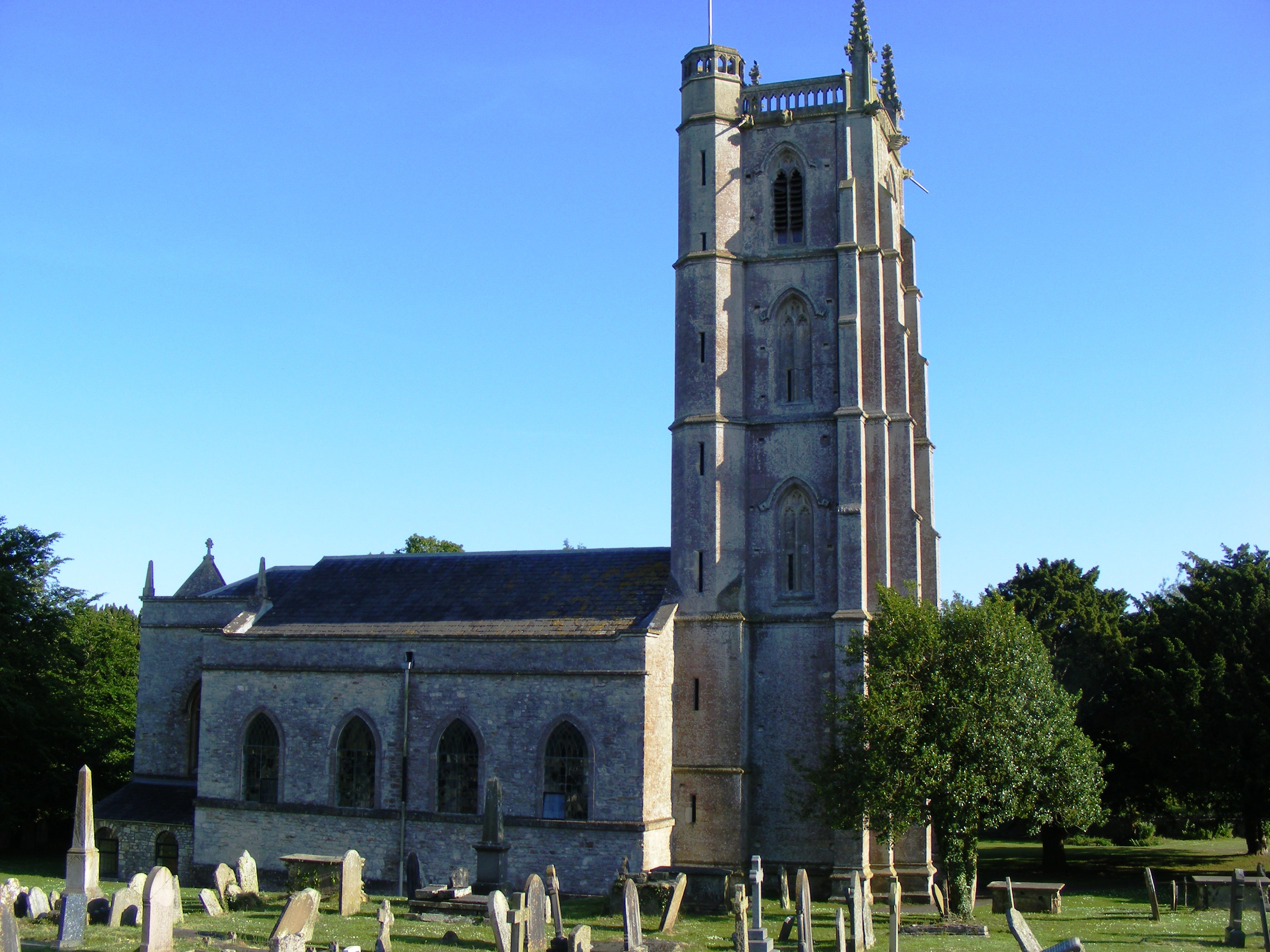
Church of St Mary and St Peter, Winford

The Anglican Church of St. Mary and St. Peter in Winford, Somerset, England, dates from the 15th Century. It has been designated as a Grade II* listed...

Barrow Gurney

Barrow Gurney is a village and civil parish in Somerset, England, situated in the unitary authority of North Somerset on the B3130, midway between the...

Lulsgate Aerodrome

Lulsgate Aerodrome was a motor racing circuit at the former RAF Lulsgate Bottom airfield, which in 1957 subsequently became Bristol Airport. The airfield...

Barrow Gurney Nunnery

Barrow Gurney Nunnery (also called Minchin Barrow) was established around 1200 in Barrow Gurney Somerset, England. The Benedictine convent was founded...

Littleton gunpowder works

Littleton gunpowder works between Winford and Chew Magna in the English county of Somerset, started gunpowder production around 1650 and continued until...

Nearby Amenities

Located within 500m of 51.386293,-2.6809113
Bus Stop
Bus: yes
Public Transport: platform
Lat/Long: 51.3855386/-2.6820328
Bus Stop
George and Dragon
Bus: yes
Naptan AtcoCode: 0190NSC31043
Naptan Bearing: E
Naptan CommonName: George and Dragon
Naptan Crossing: West Lane
Naptan NaptanCode: wsmjdam
Naptan Street: Stanshalls Lane
Naptan Verified: no
Public Transport: platform
Source: naptan_import
Lat/Long: 51.3864936/-2.6880387
Bus Stop
Upper Town Lane
Bus: yes
Naptan AtcoCode: 0190NSC31045
Naptan Bearing: E
Naptan CommonName: Upper Town Lane
Naptan Crossing: Upper Town Lane
Naptan NaptanCode: wsmjdjd
Naptan Street: West Lane
Naptan Verified: no
Public Transport: platform
Source: naptan_import
Lat/Long: 51.3856099/-2.6823202
Bus Stop
Upper Town Lane
Bus: yes
Naptan AtcoCode: 0190NSC31046
Naptan Bearing: W
Naptan CommonName: Upper Town Lane
Naptan Crossing: Upper Town Lane
Naptan NaptanCode: wsmjdjg
Naptan Street: West Lane
Naptan Verified: no
Public Transport: platform
Source: naptan_import
Lat/Long: 51.3853403/-2.6822875
Bus Stop
Felton Post Office
Bus: yes
Naptan AtcoCode: 0190NSY38472
Naptan Bearing: SE
Naptan CommonName: Felton Post Office
Naptan Crossing: Upper Town Lane
Naptan NaptanCode: wsmjdgm
Naptan Street: Frog Lane
Naptan Verified: no
Public Transport: platform
Source: naptan_import
Lat/Long: 51.3889952/-2.6846557
Bus Stop
Felton Post Office
Bus: yes
Naptan AtcoCode: 0190NSY38473
Naptan Bearing: NW
Naptan CommonName: Felton Post Office
Naptan Crossing: Frog Lane
Naptan NaptanCode: wsmjdgd
Naptan Street: Upper Town Lane
Naptan Verified: no
Public Transport: platform
Source: naptan_import
Lat/Long: 51.3890652/-2.6849873
Public Bookcase
Telephone Library
Booth: K6
Disused Amenity: telephone
Listed Status: Grade II
Man Made: telephone_box
Public Bookcase Type: phone_box
Source: survey
Lat/Long: 51.3890049/-2.6848816
Post Box
Post Box Type: lamp
Royal Cypher: EIIR
Source: survey
Lat/Long: 51.3890462/-2.6848851
Power: pole
Lat/Long: 51.3879968/-2.6745003
Power: pole
Lat/Long: 51.3880067/-2.6762062
Power: pole
Lat/Long: 51.3887477/-2.6769972
Bench
Lat/Long: 51.3889646/-2.6848577
The data included in this document is from www.openstreetmap.org. The data is made available under ODbL.

Have you been to Long Cross?

Leave your review of Long Cross below (or comments, questions and feedback).