Long Common

Settlement in Shropshire

England

Long Common

Devon Cottage, Close To Halfpenny Green Airport.
Devon Cottage, Close To Halfpenny Green Airport. Credit: Mick Malpass

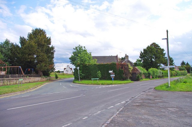
Long Common is a small village located in the picturesque county of Shropshire, England. Situated approximately 3 miles northeast of the market town of Bridgnorth, it is nestled amidst the stunning countryside and rolling hills that characterize the region.

The village is known for its tranquil and idyllic setting, offering residents and visitors a peaceful retreat from the hustle and bustle of urban life. With a population of around 300 people, Long Common maintains a close-knit community spirit that is often celebrated through various local events and activities.

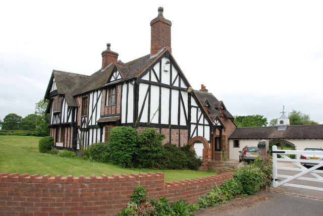
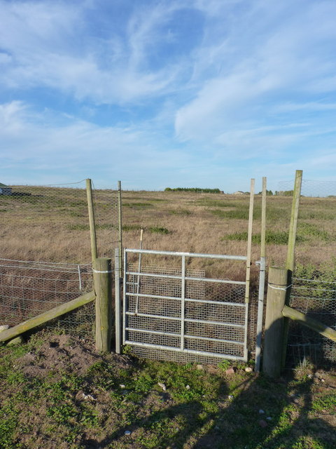
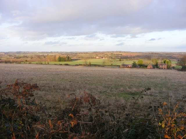
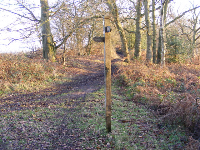
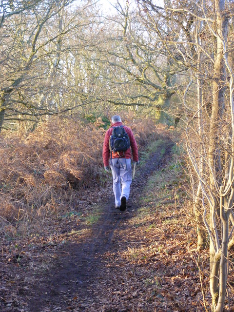
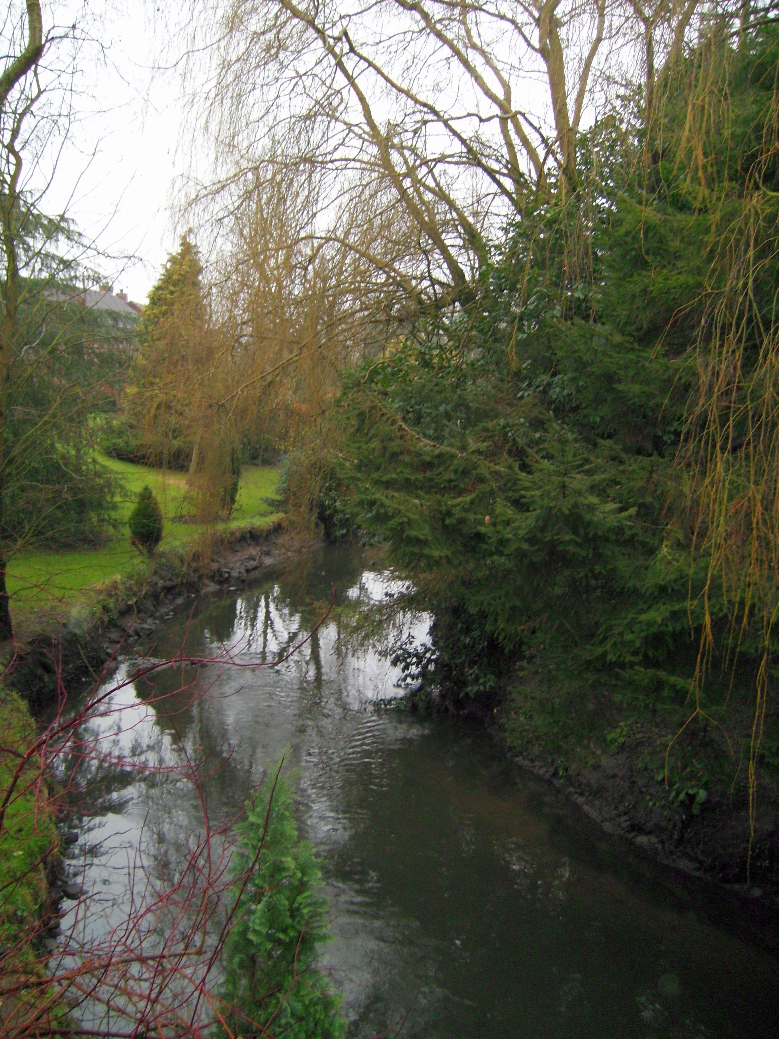
The architecture in Long Common is predominantly traditional, with charming cottages and farmhouses dotting the landscape. The village is surrounded by lush green fields and meadows, providing ample opportunities for outdoor activities such as walking, hiking, and cycling. Additionally, the nearby River Severn offers fishing and boating opportunities for those seeking water-based recreation.

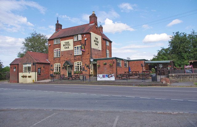
Despite its small size, Long Common benefits from a range of amenities. These include a village hall, a primary school, and a pub, which serves as a social hub for residents and visitors alike. The village also has good transport links, with regular bus services connecting it to Bridgnorth and other nearby towns.

Long Common offers a peaceful and picturesque retreat, making it an ideal destination for those seeking a rural escape surrounded by the natural beauty of Shropshire.

If you have any feedback on the listing, please let us know in the comments section below.
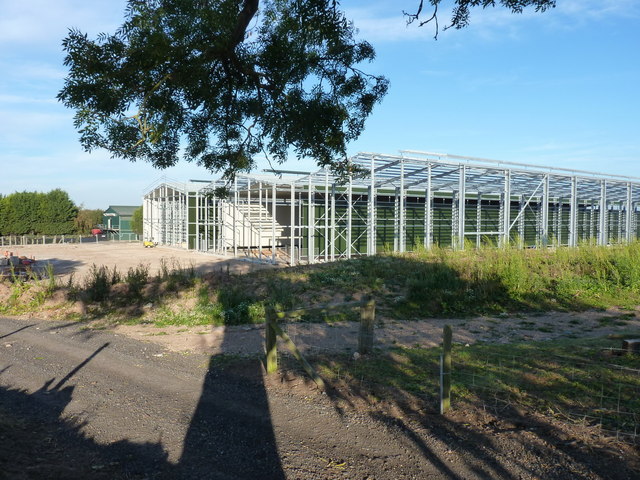
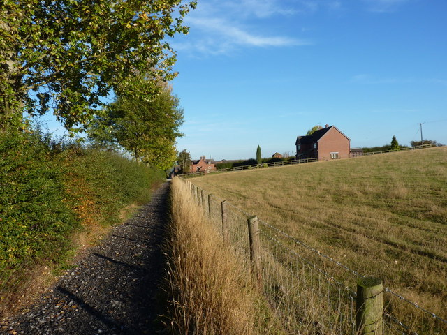
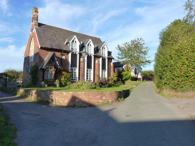
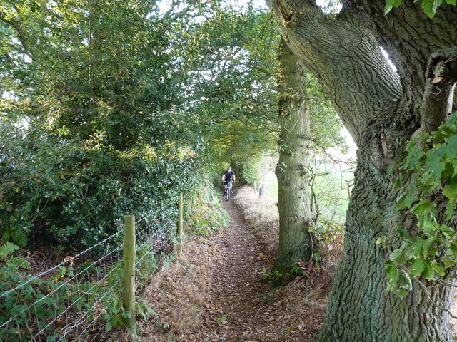
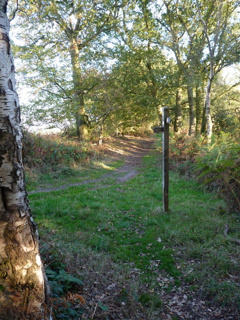
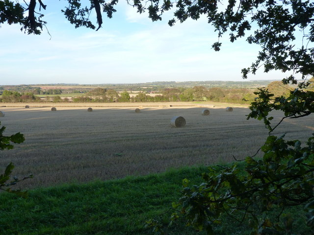
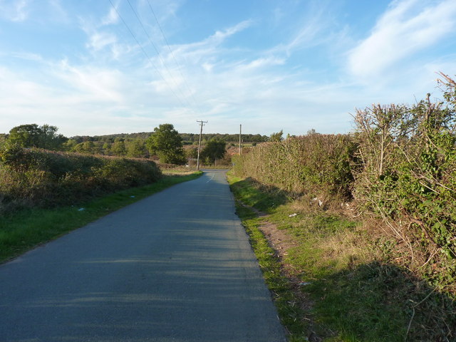
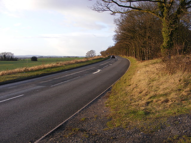
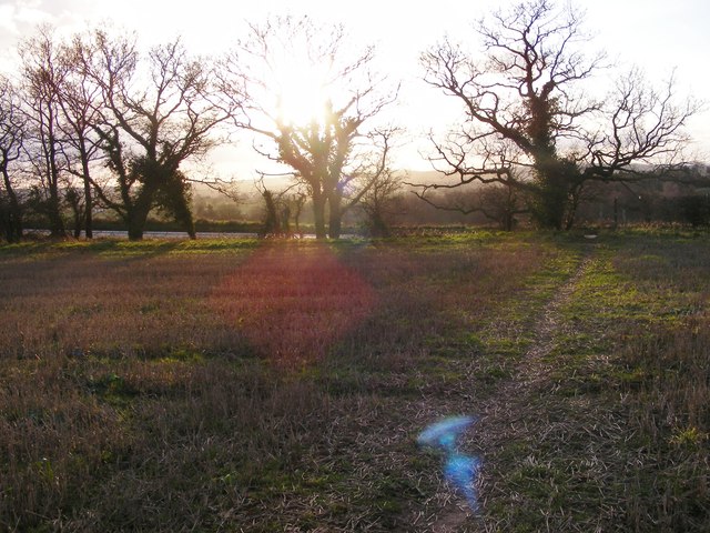
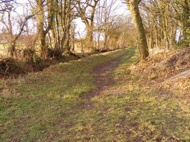
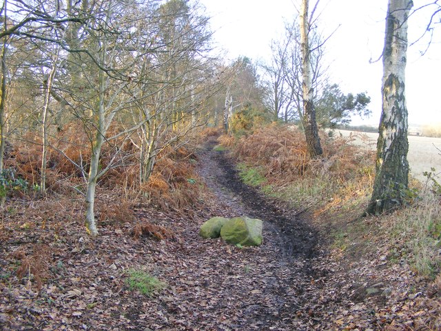
Long Common Images

Images are sourced within 2km of 52.541248/-2.2639732 or Grid Reference SO8293. Thanks to Geograph Open Source API. All images are credited.

Devon Cottage, Close To Halfpenny Green Airport.
The Royal Oak, Six Ashes Road, Halfpenny Green Halfpenny Green is a hamlet of about twelve or so residences, and the Royal Oak pub. The pub displays the traditional Banks's sign outside, with the golden lion.
The Royal Oak, Six Ashes Road, Halfpenny Green
Halfpenny Green is a hamlet of about twelve or so residences, and the Royal Oak pub. The pub displays the traditional Banks's sign outside, with the golden lion.
Junction of Six Ashes Road and Gospel Ash Road, Halfpenny Green Six Ashes Road is the one in the foreground. The junction is very near the Royal Oak pub.
Junction of Six Ashes Road and Gospel Ash Road, Halfpenny Green
Six Ashes Road is the one in the foreground. The junction is very near the Royal Oak pub.
Gate and bridleway at Foxlands Across fields SW of Foxlands Farm, Seisdon
Gate and bridleway at Foxlands
Across fields SW of Foxlands Farm, Seisdon
Industrial farming? Enormous industrial-scale buildings being constructed on farmland west of Seisdon.
Industrial farming?
Enormous industrial-scale buildings being constructed on farmland west of Seisdon.
Wolmore Farm, Seisdon Buildings at Wolmore Farm, from the bridleway to Hillend.
Wolmore Farm, Seisdon
Buildings at Wolmore Farm, from the bridleway to Hillend.
Chapel conversion at Hillend, Ludstone Originally a small chapel, and shown on late 19th century maps as 'Congl Chapel' (Congregational). There was also a Sunday School on the other side of the road at that time. The building is now converted to residential use.
Chapel conversion at Hillend, Ludstone
Originally a small chapel, and shown on late 19th century maps as 'Congl Chapel' (Congregational). There was also a Sunday School on the other side of the road at that time. The building is now converted to residential use.
Riding on Abbot's Castle Hill Strictly speaking, it's a footpath, but since it appears to follow the line of a Roman Road, we reckoned it's been unfairly downgraded. That makes it fair game for a bit of trail poaching, as it runs along the ridge to the west of open farmland.
Riding on Abbot's Castle Hill
Strictly speaking, it's a footpath, but since it appears to follow the line of a Roman Road, we reckoned it's been unfairly downgraded. That makes it fair game for a bit of trail poaching, as it runs along the ridge to the west of open farmland.
Track junction on Abbot's Castle Hill A junction of bridleway and permissive route on the crest of the hill.
Track junction on Abbot's Castle Hill
A junction of bridleway and permissive route on the crest of the hill.
Farmland and baled straw Open country to the east of the ridgetop bridleway along Abbot's Castle Hill
Farmland and baled straw
Open country to the east of the ridgetop bridleway along Abbot's Castle Hill
Road junction near the War Stone
B4176 View The new year view from the Staffordshire Way.
B4176 View
The new year view from the Staffordshire Way.
Footpath View The new year view from the Trysull footpath towards the B4176.
Footpath View
The new year view from the Trysull footpath towards the B4176.
Tree Lined Path The new year view of the path towards Tinker's Hill.
Tree Lined Path
The new year view of the path towards Tinker's Hill.
Way View The new year view of the Staffordshire Way towards Abbots Castle Hill.
Way View
The new year view of the Staffordshire Way towards Abbots Castle Hill.
Abbots Castle Hill View
Way Signpost The new year view on the Staffordshire Way.
Way Signpost
The new year view on the Staffordshire Way.
Abbots Castle Hill Walk The view along the Staffordshire Way.
Abbots Castle Hill Walk
The view along the Staffordshire Way.
Show me another place!

Long Common is located at Grid Ref: SO8293 (Lat: 52.541248, Lng: -2.2639732)

Unitary Authority: Shropshire

Police Authority: West Merica

What 3 Words

///caked.bared.vesting. Near Pattingham, Staffordshire

Nearby Locations

Long Common

Related Wikis

Seisdon

Seisdon is a rural village in the parish of Trysull and Seisdon, Staffordshire approximately six miles west of Wolverhampton and the name of one of the...

Seisdon Rural District

Seisdon was a rural district in Staffordshire, England from 1894 to 1974. It lay to the west of Wolverhampton and was formed under the Local Government...

Trysull and Seisdon

Trysull and Seisdon is a conjoined civil parish in the South Staffordshire non-metropolitan district, in the county of Staffordshire, England. The population...

Wolverhampton Airport

Wolverhampton Halfpenny Green Airport (ICAO: EGBO), formerly Halfpenny Green Airport and Wolverhampton Business Airport, locally Bobbington Airport, is...

Nearby Amenities

Located within 500m of 52.541248,-2.2639732
Abbots Castle Hill
Ele: 127
Natural: peak
Lat/Long: 52.5447309/-2.2614836
The data included in this document is from www.openstreetmap.org. The data is made available under ODbL.

Have you been to Long Common?

Leave your review of Long Common below (or comments, questions and feedback).