Loch Head

Settlement in Wigtownshire

Scotland

Loch Head

Track to Culshabbin
Track to Culshabbin Credit: Billy McCrorie

Loch Head is a charming coastal village located in Wigtownshire, Dumfries and Galloway, Scotland. Situated on the western shore of Luce Bay, Loch Head is renowned for its picturesque landscapes and tranquil atmosphere.

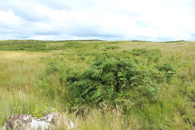
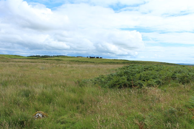
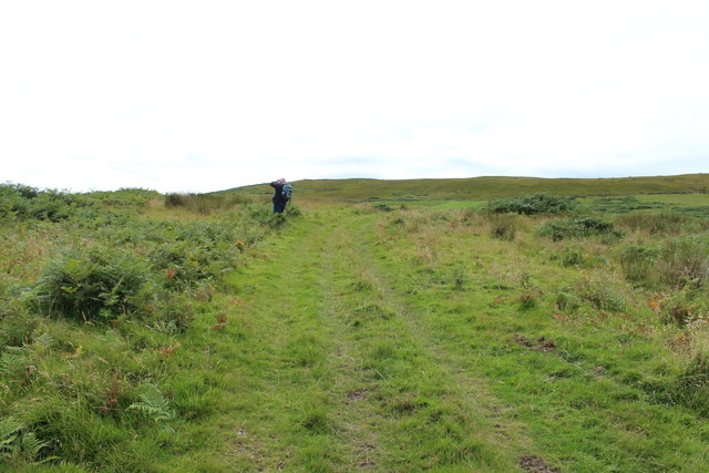
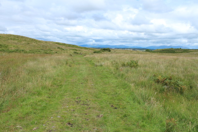
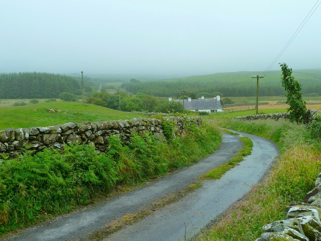
Surrounded by lush greenery and rolling hills, the village offers breathtaking views of the bay and its sandy beaches. The area is a haven for nature enthusiasts and outdoor adventurers who can explore the diverse flora and fauna in the nearby Luce Bay Nature Reserve.

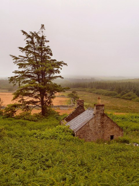
The village itself is small but vibrant, with a close-knit community that takes pride in its heritage and natural surroundings. Loch Head is known for its traditional whitewashed cottages, which add to the village's charm. Visitors can take leisurely walks along the village lanes, immersing themselves in its timeless beauty.

For those interested in history, Loch Head is home to several ancient sites, including the historic Glenluce Abbey founded in the 12th century. The abbey's ruins offer a glimpse into Scotland's rich past and are a popular attraction for tourists.

The village also boasts a small but thriving fishing industry, with locally caught seafood being a highlight of the area's culinary scene. Visitors can enjoy freshly caught fish and shellfish in the village's quaint cafes and restaurants.

Overall, Loch Head offers a serene escape from the hustle and bustle of city life. Its stunning coastal setting, rich history, and warm community make it a must-visit destination for those seeking a peaceful retreat in the heart of Scotland.

If you have any feedback on the listing, please let us know in the comments section below.
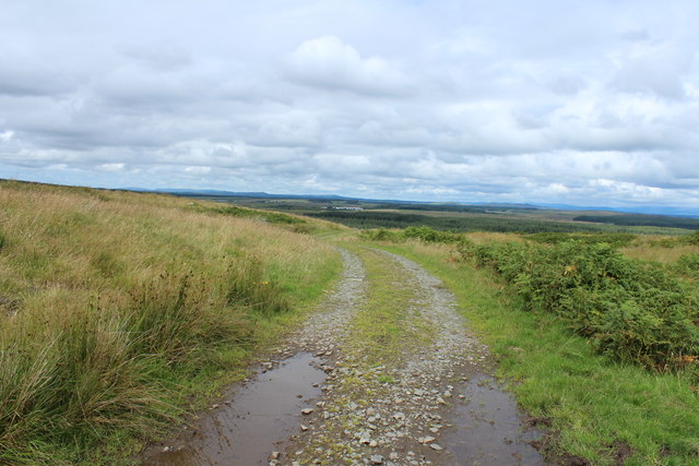
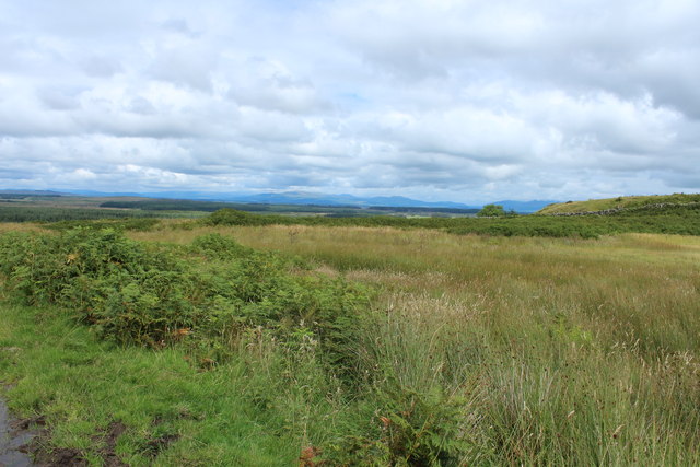
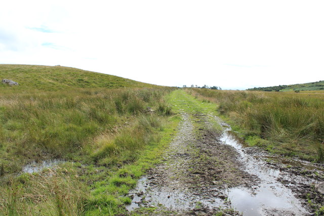
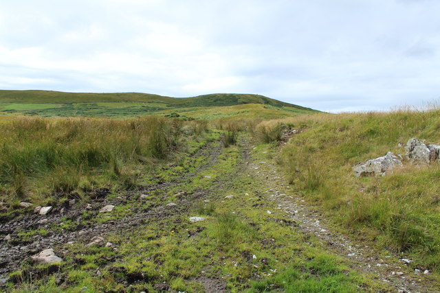
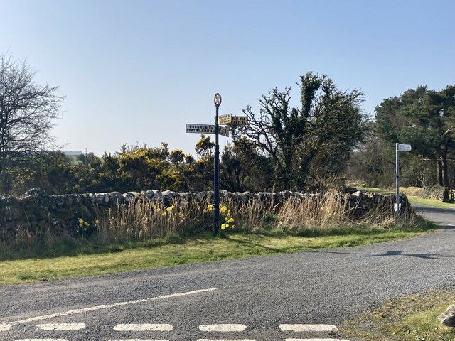
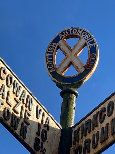
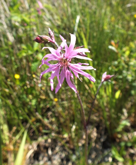
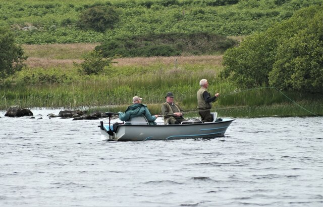
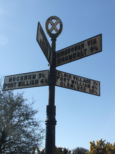
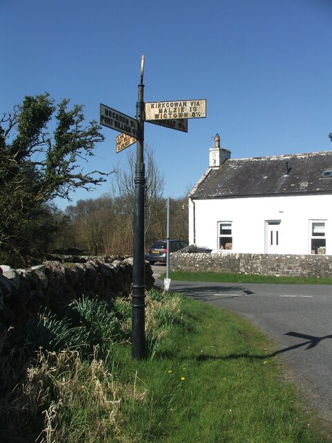
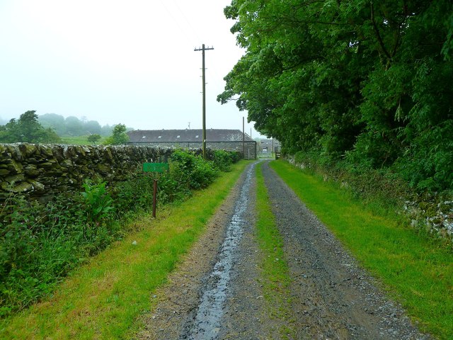
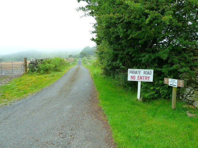
Loch Head Images

Images are sourced within 2km of 54.810862/-4.603792 or Grid Reference NX3249. Thanks to Geograph Open Source API. All images are credited.

Track to Culshabbin
Track to Culshabbin
Moorland near East Plantation
Track to Airylick
Track to Airylick
Track at Gallows Hill
Ferns and Moorland
Ferns and Moorland
Cattle on the Hill
Cattle on the Hill
Track to Mochrum Fell
Hill Track With view of the Galloway Hills.
Hill Track
With view of the Galloway Hills.
Old fingerpost At the cross roads at Loch Head near Loch Elrig is this unique fingerpost.  It is the only known post with Scottish Automobile Club on an oval annulus with the St Andrew's Cross in the centre.   Although it is not known at which foundry this post was cast, the fingers have The Scottish Tube Co Ltd on their bottom edges.   Research suggests that the post was possibly erected between 1912-14.  It is B 'listed' LB50023.

Milestone Society National ID: WT_NX3249
Old fingerpost
At the cross roads at Loch Head near Loch Elrig is this unique fingerpost. It is the only known post with Scottish Automobile Club on an oval annulus with the St Andrew's Cross in the centre. Although it is not known at which foundry this post was cast, the fingers have The Scottish Tube Co Ltd on their bottom edges. Research suggests that the post was possibly erected between 1912-14. It is B 'listed' LB50023. Milestone Society National ID: WT_NX3249
Old fingerpost A close-up of the oval annulus with the St Andrew's Cross at its centre on the unique fingerpost at the cross roads near Loch Elrig. This also shows the raised lettering on the fingers.

Milestone Society National ID: WT_NX3249
Old fingerpost
A close-up of the oval annulus with the St Andrew's Cross at its centre on the unique fingerpost at the cross roads near Loch Elrig. This also shows the raised lettering on the fingers. Milestone Society National ID: WT_NX3249
Ragged Robin Silene flos-cuculi growing on the shore of Elrig Loch.
Ragged Robin
Silene flos-cuculi growing on the shore of Elrig Loch.
Three Men In A Boat With apologies to Jerome K Jerome! Three men fishing on Elrig Loch, the gentleman in the middle appears to be having a nap.
Three Men In A Boat
With apologies to Jerome K Jerome! Three men fishing on Elrig Loch, the gentleman in the middle appears to be having a nap.
Road sign It is not easy to take a photograph which shows clearly the destinations named on all four 'fingers' of this unique signpost at Loch Head crossroads.  Also each finger is double sided.  It was HES 'listed' LB50023B on 23.11.2004.
.
Road sign
It is not easy to take a photograph which shows clearly the destinations named on all four 'fingers' of this unique signpost at Loch Head crossroads. Also each finger is double sided. It was HES 'listed' LB50023B on 23.11.2004. .
Old fingerpost A slightly closer view of the road sign at Loch head which shows the slightly narrower top section of post.   The lower section has three rings which have not been seen on other posts in Scotland.
Old fingerpost
A slightly closer view of the road sign at Loch head which shows the slightly narrower top section of post. The lower section has three rings which have not been seen on other posts in Scotland.
Derelict Cottage Sits at the side of the track from Elrig House to Changue, looking over moorland towards Rough Loch and Elrig Loch, the mist has dropped and now covers the moors.
Derelict Cottage
Sits at the side of the track from Elrig House to Changue, looking over moorland towards Rough Loch and Elrig Loch, the mist has dropped and now covers the moors.
Airylick View of the single track road past Airylick Cottage towards Elrig Loch.
Airylick
View of the single track road past Airylick Cottage towards Elrig Loch.
Airylick Farm Entrance track to the farm to the west of Elrig Loch.
Airylick Farm
Entrance track to the farm to the west of Elrig Loch.
Road to Elrig House This private road leads to Elrig House of Gavin Maxwell fame, <span class="nowrap"><a title="http://en.wikipedia.org/wiki/Gavin_Maxwell" rel="nofollow ugc noopener" href="http://en.wikipedia.org/wiki/Gavin_Maxwell">Link</a><img style="margin-left:2px;" alt="External link" title="External link - shift click to open in new window" src="https://s1.geograph.org.uk/img/external.png" width="10" height="10"/></span> and the remains of an 8th century church at Barhobble. <span class="nowrap"><a title="http://canmore.rcahms.gov.uk/en/site/62744/details/barhobble+airylick/&biblio=more" rel="nofollow ugc noopener" href="http://canmore.rcahms.gov.uk/en/site/62744/details/barhobble+airylick/&biblio=more">Link</a><img style="margin-left:2px;" alt="External link" title="External link - shift click to open in new window" src="https://s1.geograph.org.uk/img/external.png" width="10" height="10"/></span>
Road to Elrig House
This private road leads to Elrig House of Gavin Maxwell fame, LinkExternal link and the remains of an 8th century church at Barhobble. LinkExternal link
Show me another place!

Loch Head is located at Grid Ref: NX3249 (Lat: 54.810862, Lng: -4.603792)

Unitary Authority: Dumfries and Galloway

Police Authority: Dumfries and Galloway

What 3 Words

///magically.rotation.bulk. Near Whithorn, Dumfries & Galloway

Related Wikis

Elrig

Elrig (Scottish Gaelic: An Eileirg, meaning "the deer run") is a clachan or hamlet in the historical county of Wigtownshire in Dumfries and Galloway...

Machars

The Machars (Scottish Gaelic: Machair Ghallghaidhealaibh) is a peninsula in the historical county of Wigtownshire in Galloway in the south-west of Scotland...

Mochrum

Mochrum () is a coastal civil and Church of Scotland parish situated to the east of Luce Bay on the Machars peninsula and 8 miles (13 km) southwest of...

Doon of May

The Doon of May is a conifer plantation associated with an Iron Age hill fort in Dumfries and Galloway, south-west Scotland. Located around 14 kilometres...

Mochrum Loch

Mochrum Loch is a large, irregular shaped, shallow, freshwater loch in Dumfries and Galloway, in the Southern Uplands of south-west Scotland. It lies approximately...

Port William, Dumfries and Galloway

Port William (Scottish Gaelic: Cill na TrĂ ghad) is a fishing village in the parish of Mochrum in the historical county of Wigtownshire, Dumfries and Galloway...

Castle Loch, Dumfries and Galloway

Castle Loch is a large, shallow, freshwater loch in Dumfries and Galloway, in the Southern Uplands of south-west Scotland. It lies to the west of Mochrum...

Castle Loch

Castle Loch is a shallow eutrophic loch covering an area of around 100 hectares in the town of Lochmaben in Dumfries and Galloway, Scotland. It lies to...

Nearby Amenities

Located within 500m of 54.810862,-4.603792
Power: pole
Lat/Long: 54.806436/-4.6032964
Power: pole
Lat/Long: 54.8071448/-4.6033293
Power: pole
Lat/Long: 54.8080041/-4.6033716
Power: pole
Lat/Long: 54.8088133/-4.6034046
Power: pole
Lat/Long: 54.809308/-4.6038561
Power: pole
Lat/Long: 54.8085842/-4.6023863
Power: pole
Lat/Long: 54.8083809/-4.6014503
Power: pole
Lat/Long: 54.8081681/-4.6005096
Power: pole
Lat/Long: 54.8079621/-4.5996042
Power: pole
Lat/Long: 54.8094787/-4.6031473
Power: pole
Lat/Long: 54.810248/-4.6027983
Power: pole
Lat/Long: 54.8108824/-4.6025681
Power: pole
Lat/Long: 54.8115499/-4.6022977
Power: pole
Lat/Long: 54.8122782/-4.6019947
Power: pole
Lat/Long: 54.8130751/-4.6016514
Power: pole
Lat/Long: 54.8138277/-4.6013541
Power: pole
Lat/Long: 54.814473/-4.6010952
Power: pole
Lat/Long: 54.8148355/-4.6013982
Power: pole
Lat/Long: 54.8091582/-4.6045857
Power: pole
Lat/Long: 54.808694/-4.6057153
Power: pole
Lat/Long: 54.8082298/-4.6068622
Power: pole
Lat/Long: 54.8077711/-4.6080129
The data included in this document is from www.openstreetmap.org. The data is made available under ODbL.

Have you been to Loch Head?

Leave your review of Loch Head below (or comments, questions and feedback).