Elrig Loch
Lake, Pool, Pond, Freshwater Marsh in Wigtownshire
Scotland
Elrig Loch
The requested URL returned error: 429 Too Many Requests
If you have any feedback on the listing, please let us know in the comments section below.
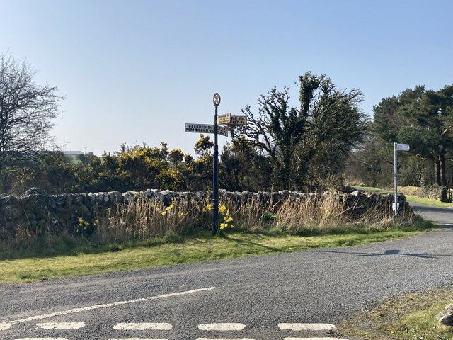
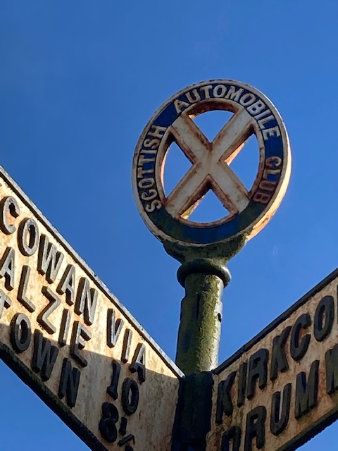
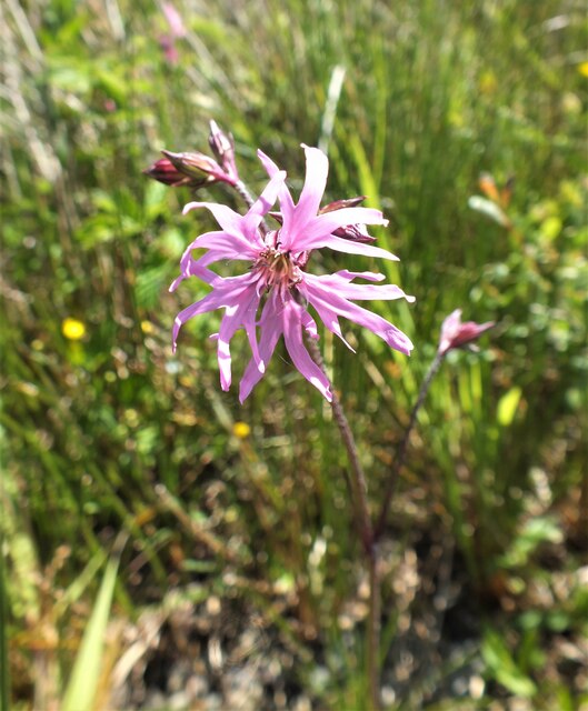
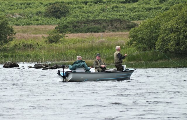
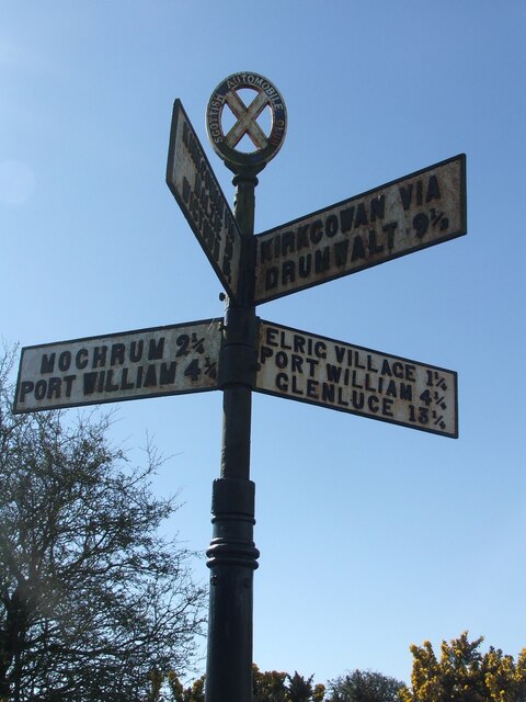
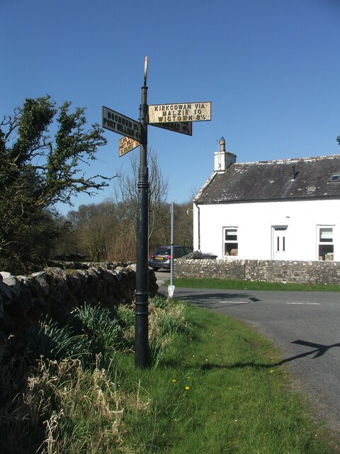
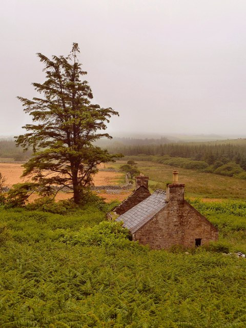
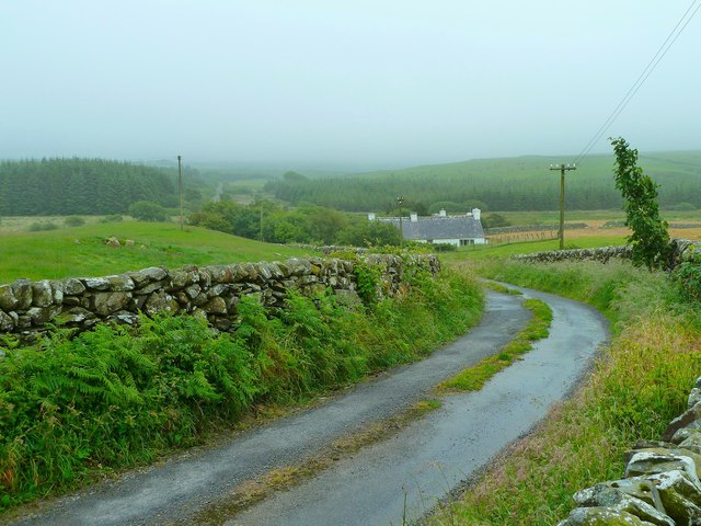
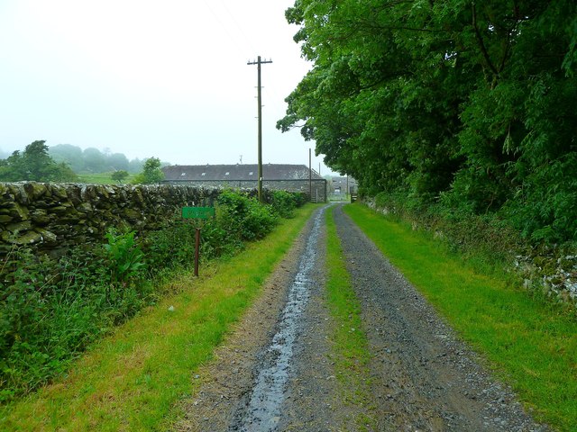
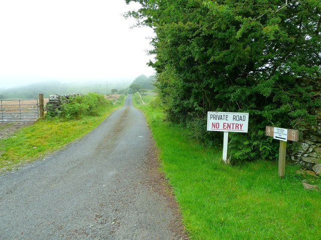
Elrig Loch Images
Images are sourced within 2km of 54.808791/-4.6102267 or Grid Reference NX3249. Thanks to Geograph Open Source API. All images are credited.


Elrig Loch is located at Grid Ref: NX3249 (Lat: 54.808791, Lng: -4.6102267)
Unitary Authority: Dumfries and Galloway
Police Authority: Dumfries and Galloway
What 3 Words
///gazed.overdrive.insulated. Near Whithorn, Dumfries & Galloway
Nearby Locations
Related Wikis

Elrig
Elrig (Scottish Gaelic: An Eileirg, meaning "the deer run") is a clachan or hamlet in the historical county of Wigtownshire in Dumfries and Galloway...

Machars
The Machars (Scottish Gaelic: Machair Ghallghaidhealaibh) is a peninsula in the historical county of Wigtownshire in Galloway in the south-west of Scotland...

Mochrum
Mochrum () is a coastal civil and Church of Scotland parish situated to the east of Luce Bay on the Machars peninsula and 8 miles (13 km) southwest of...

Doon of May
The Doon of May is a conifer plantation associated with an Iron Age hill fort in Dumfries and Galloway, south-west Scotland. Located around 14 kilometres...
Nearby Amenities
Located within 500m of 54.808791,-4.6102267Have you been to Elrig Loch?
Leave your review of Elrig Loch below (or comments, questions and feedback).