Challoch Hill
Hill, Mountain in Wigtownshire
Scotland
Challoch Hill
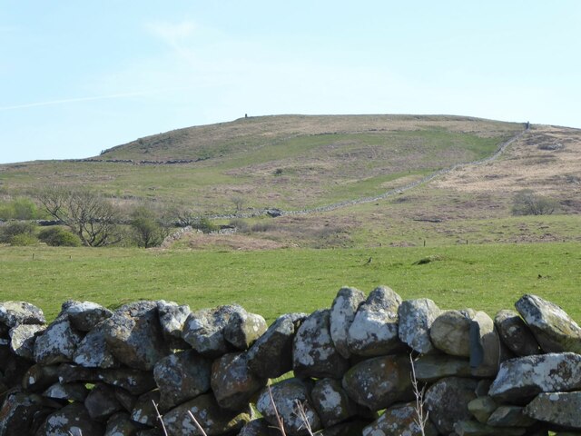
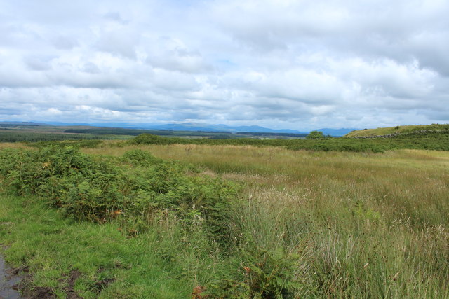
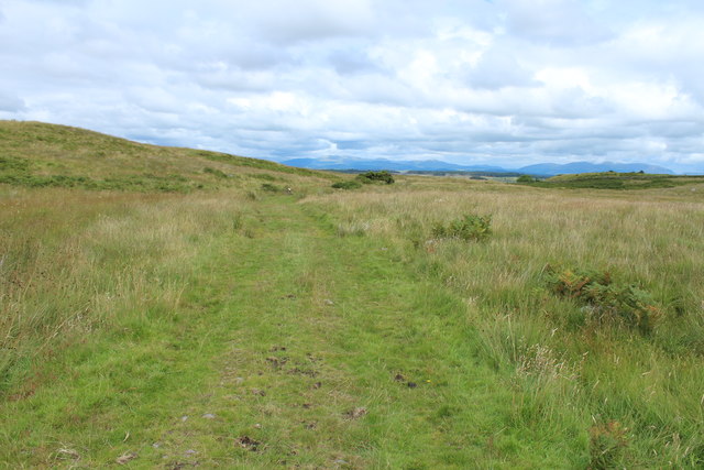
Challoch Hill is a prominent natural landmark located in Wigtownshire, Scotland. It is classified as a hill, rather than a mountain, with an elevation of approximately 212 meters (696 feet). Situated near the village of Dunragit, Challoch Hill offers stunning panoramic views of the surrounding countryside and the Irish Sea.
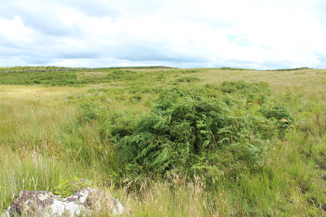
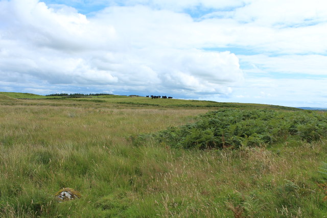
The hill is characterized by its conical shape and is covered in a mixture of grasses, heather, and shrubs, providing a diverse habitat for various wildlife species. It is a popular destination for nature enthusiasts, hikers, and photographers, who are drawn to its picturesque scenery and tranquil atmosphere.
Challoch Hill is also of historical significance, with the remains of an ancient fortification known as a hillfort situated near its summit. The hillfort, believed to date back to the Iron Age, consists of circular earthworks and ditches, providing evidence of human settlement in the area during ancient times.
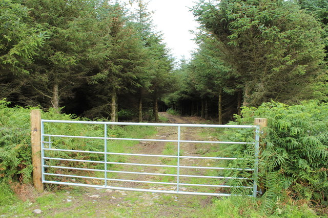
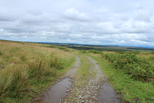
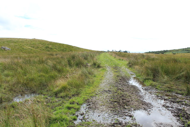
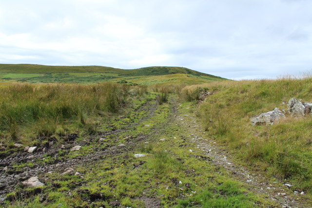
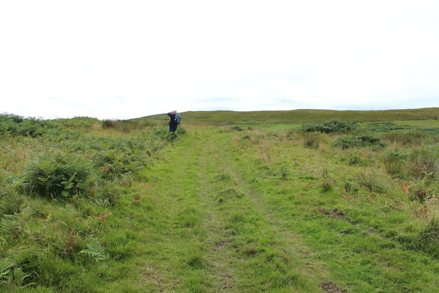
Access to Challoch Hill is relatively easy, with a well-maintained path leading to the top. Along the way, visitors may encounter grazing sheep and cattle, adding to the charm of the experience. The hill is open to the public year-round, and visitors are advised to wear appropriate footwear and be prepared for changeable weather conditions.
Overall, Challoch Hill offers a combination of natural beauty, historical significance, and recreational opportunities. It remains a beloved destination for locals and visitors alike, providing a chance to connect with nature and immerse oneself in the rich history of the region.
If you have any feedback on the listing, please let us know in the comments section below.
Challoch Hill Images
Images are sourced within 2km of 54.810922/-4.6131191 or Grid Reference NX3249. Thanks to Geograph Open Source API. All images are credited.


Challoch Hill is located at Grid Ref: NX3249 (Lat: 54.810922, Lng: -4.6131191)
Unitary Authority: Dumfries and Galloway
Police Authority: Dumfries and Galloway
What 3 Words
///cooking.caller.unwound. Near Whithorn, Dumfries & Galloway
Nearby Locations
Related Wikis

Elrig
Elrig (Scottish Gaelic: An Eileirg, meaning "the deer run") is a clachan or hamlet in the historical county of Wigtownshire in Dumfries and Galloway...

Machars
The Machars (Scottish Gaelic: Machair Ghallghaidhealaibh) is a peninsula in the historical county of Wigtownshire in Galloway in the south-west of Scotland...

Doon of May
The Doon of May is a conifer plantation associated with an Iron Age hill fort in Dumfries and Galloway, south-west Scotland. Located around 14 kilometres...

Mochrum
Mochrum () is a coastal civil and Church of Scotland parish situated to the east of Luce Bay on the Machars peninsula and 8 miles (13 km) southwest of...

Mochrum Loch
Mochrum Loch is a large, irregular shaped, shallow, freshwater loch in Dumfries and Galloway, in the Southern Uplands of south-west Scotland. It lies approximately...

Castle Loch, Dumfries and Galloway
Castle Loch is a large, shallow, freshwater loch in Dumfries and Galloway, in the Southern Uplands of south-west Scotland. It lies to the west of Mochrum...
Castle Loch
Castle Loch is a shallow eutrophic loch covering an area of around 100 hectares in the town of Lochmaben in Dumfries and Galloway, Scotland. It lies to...

Port William, Dumfries and Galloway
Port William (Scottish Gaelic: Cill na Tràghad) is a fishing village in the parish of Mochrum in the historical county of Wigtownshire, Dumfries and Galloway...
Nearby Amenities
Located within 500m of 54.810922,-4.6131191Have you been to Challoch Hill?
Leave your review of Challoch Hill below (or comments, questions and feedback).