Craig Minnan
Hill, Mountain in Renfrewshire
Scotland
Craig Minnan
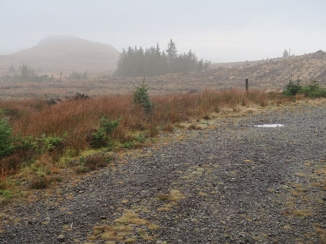
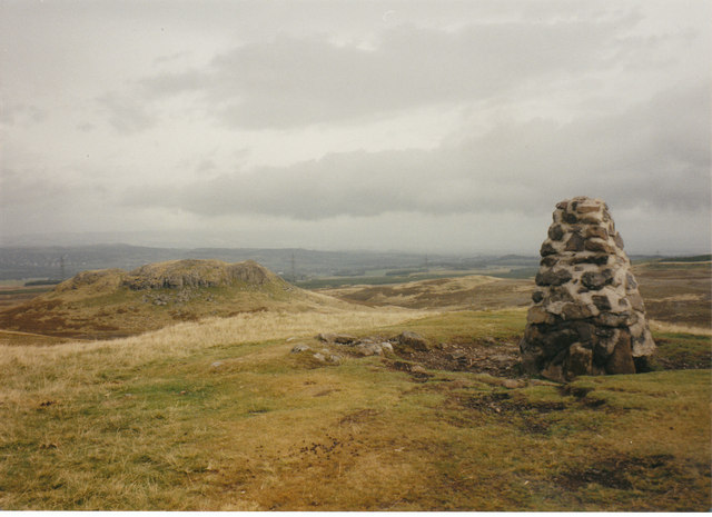
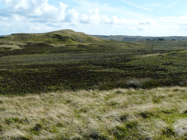
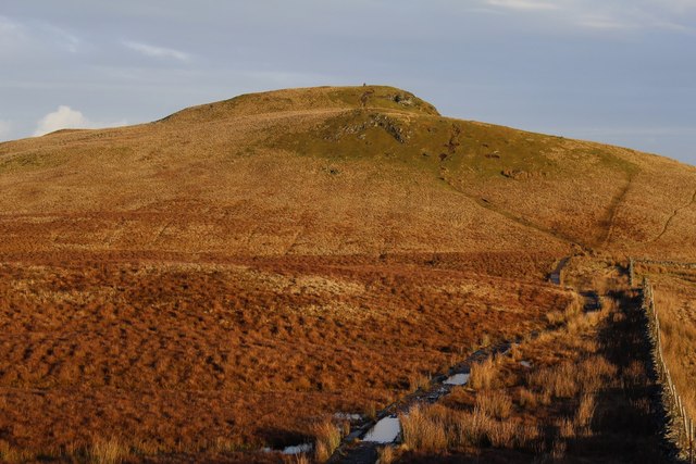
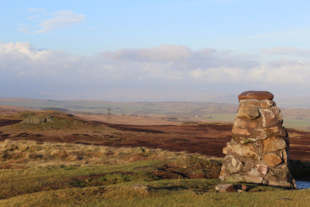
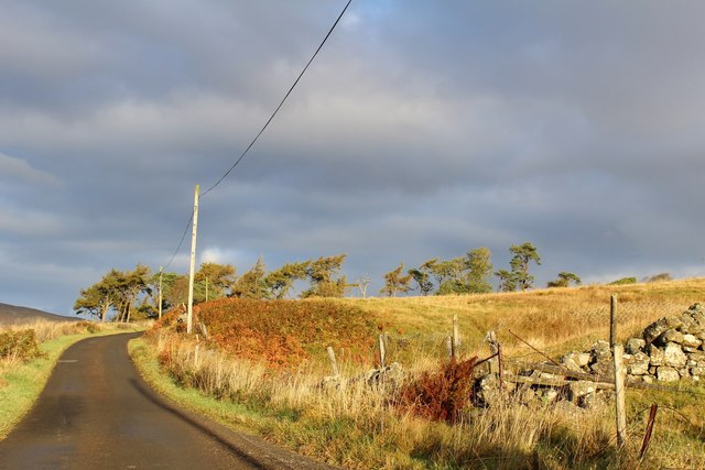
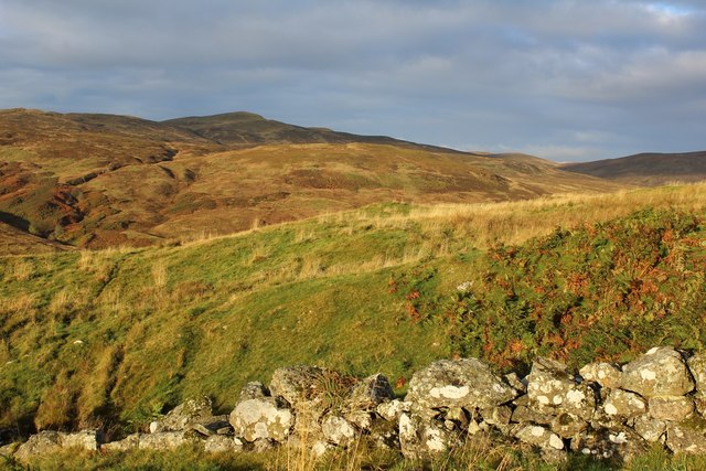
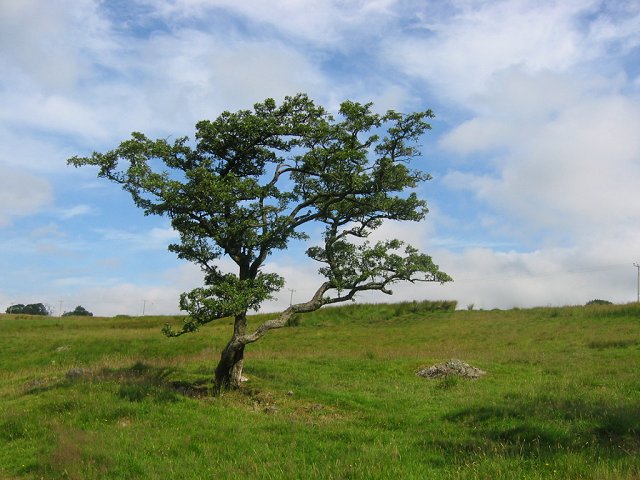
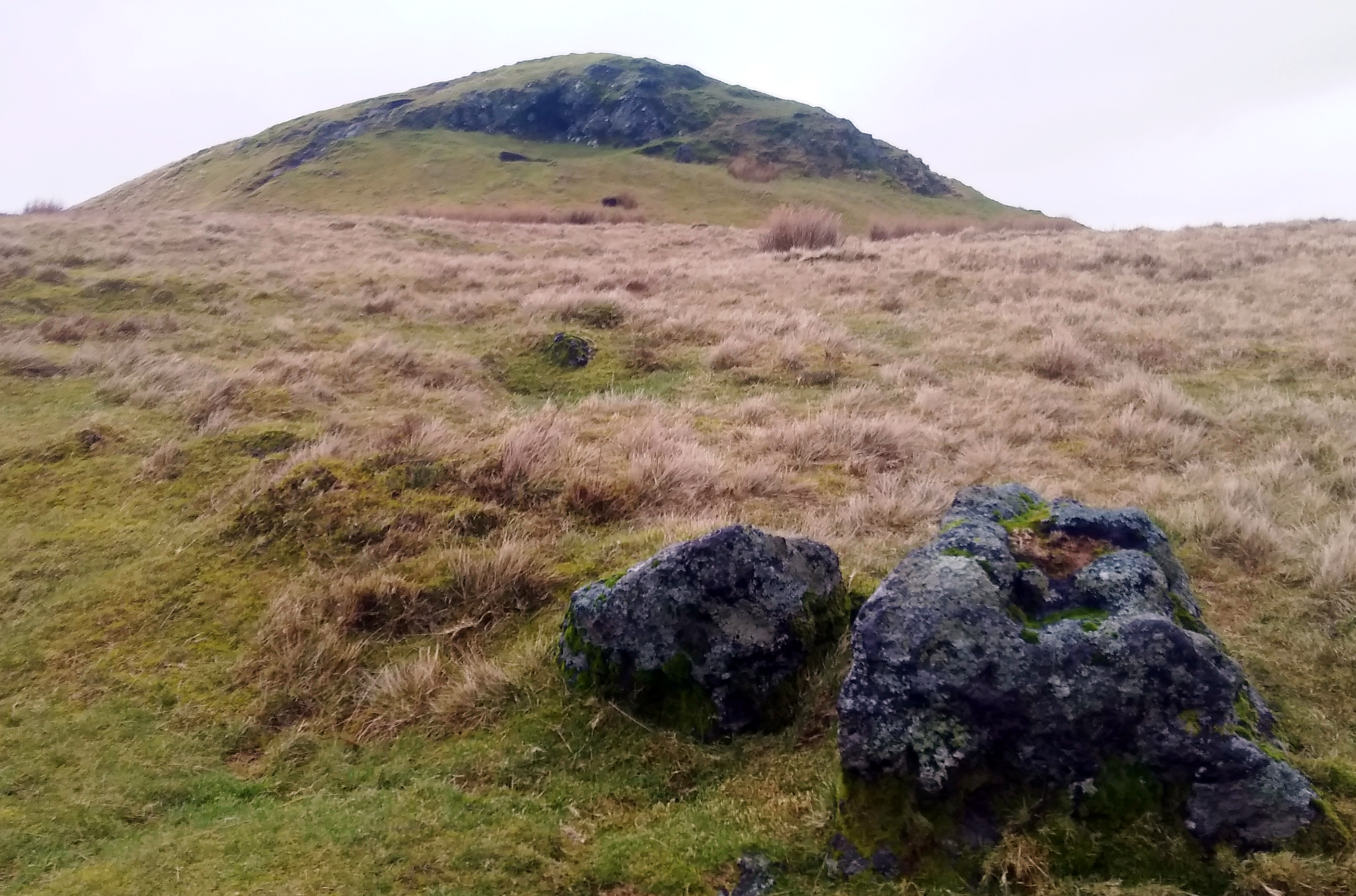
Craig Minnan is a prominent hill located in Renfrewshire, Scotland. Standing at an elevation of approximately 375 meters (1,230 feet), it is a popular destination for outdoor enthusiasts and nature lovers alike. Situated near the village of Houston, Craig Minnan offers breathtaking panoramic views of the surrounding landscapes and towns, providing visitors with an unforgettable experience.
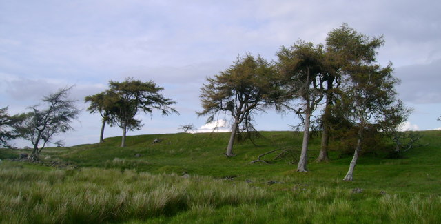
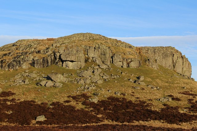
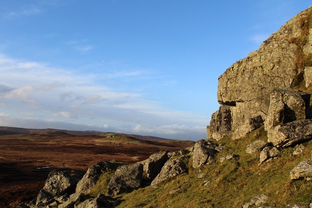
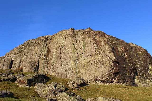
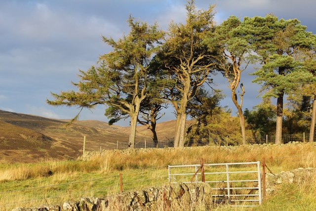
The hill is characterized by its gentle slopes and lush greenery, covered in an assortment of native vegetation such as heather and grasses. Its distinctive shape and prominence make it easily recognizable from a distance. The terrain consists of a mixture of rocky outcrops and grassy slopes, making it suitable for walking, hiking, and even hill running.
Craig Minnan is part of the larger Clyde Muirshiel Regional Park, which encompasses a vast area of natural beauty and diverse wildlife. The park is home to various species of birds, mammals, and plants, providing ample opportunities for nature enthusiasts to observe and appreciate the local flora and fauna.
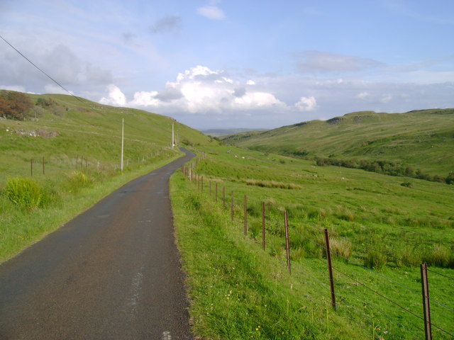
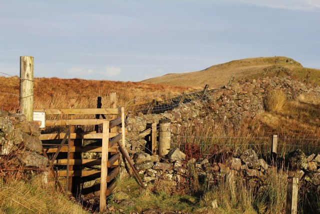
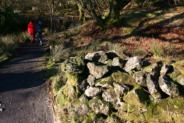
The hill is easily accessible for visitors, with a network of well-maintained trails leading to its summit. These trails cater to different abilities, allowing individuals of all fitness levels to explore and enjoy the area. Additionally, the hill is equipped with designated viewpoints and picnic areas, providing visitors with the perfect spots to rest and take in the picturesque surroundings.
Overall, Craig Minnan in Renfrewshire is a captivating hill that offers a magnificent outdoor experience, combining stunning scenery, diverse wildlife, and enjoyable activities for all to relish.
If you have any feedback on the listing, please let us know in the comments section below.
Craig Minnan Images
Images are sourced within 2km of 55.840302/-4.6816244 or Grid Reference NS3264. Thanks to Geograph Open Source API. All images are credited.

Craig Minnan is located at Grid Ref: NS3264 (Lat: 55.840302, Lng: -4.6816244)
Unitary Authority: Inverclyde
Police Authority: Renfrewshire and Inverclyde
What 3 Words
///cherubs.openly.maximum. Near Lochwinnoch, Renfrewshire
Nearby Locations
Related Wikis
Windy Hill, Renfrewshire
Windy Hill is a 316 metres (1.037 feet) high hill in Renfrewshire, Scotland. It is one of the TuMPs of the Lowlands. == Geography == The hill is located...
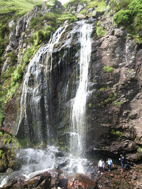
Spout of Garnock
The Spout of Garnock (or Garnock Spout) is a waterfall in Ayrshire, Scotland. At approximately 60–70 ft high, it is the county's highest waterfall. It...

Duchal House
Duchal House is an 18th-century mansion and estate near Kilmacolm, Scotland. It is located in Inverclyde, in the former county of Renfrewshire. Duchal...

Quarrier's Village
Quarrier's Village or Quarriers Village is a small settlement in the civil parish of Kilmacolm in Inverclyde council area and the historic county of Renfrewshire...

Nether Mill
Nether Mill or the Nethermiln of Kilbirnie was originally the Barony of Kilbirnie corn mill and later became a meal mill as well, located in the Parish...

Hill of Stake
Hill of Stake is a hill on the boundary between North Ayrshire and Renfrewshire, Scotland. == Geography == The hill is 522 metres (1,713 feet) high and...

St John's Kirk, Lochwinnoch
St John's Kirk, also known as St Winnock's Church and, colloquially, Auld Simon (Old Simon), is a former church building in Lochwinnoch, Renfrewshire,...

Ranfurly, Renfrewshire
Ranfurly (Scottish Gaelic: Rann Feòirling) is a small settlement on the southern edge of the village of Bridge of Weir, which lies within the Gryffe Valley...
Nearby Amenities
Located within 500m of 55.840302,-4.6816244Have you been to Craig Minnan?
Leave your review of Craig Minnan below (or comments, questions and feedback).