Loch Alainn

Settlement in Argyllshire

Scotland

Loch Alainn

Ferry arrival, Lochaline Ferry from Mull.
Ferry arrival, Lochaline Credit: Richard Webb

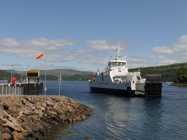
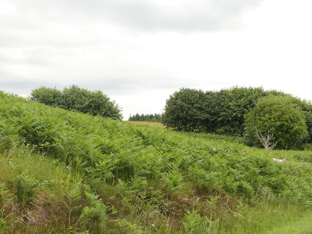
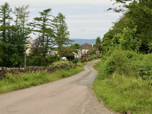
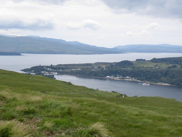
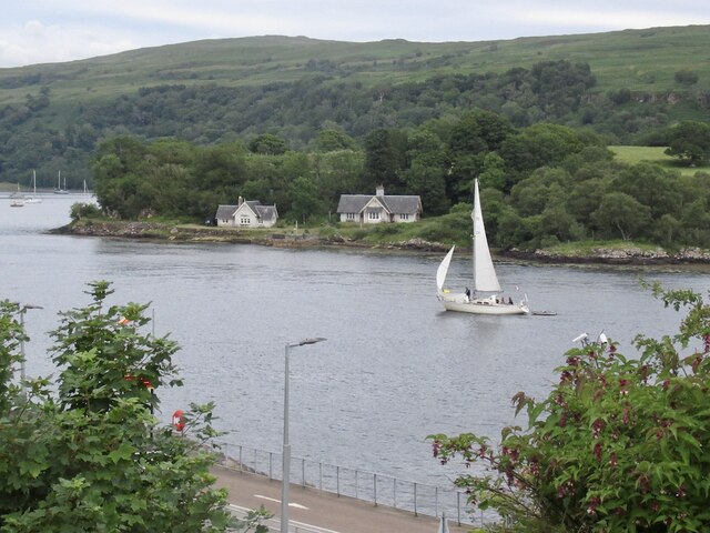
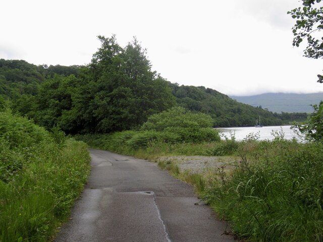
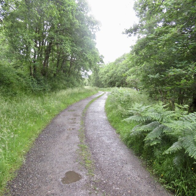
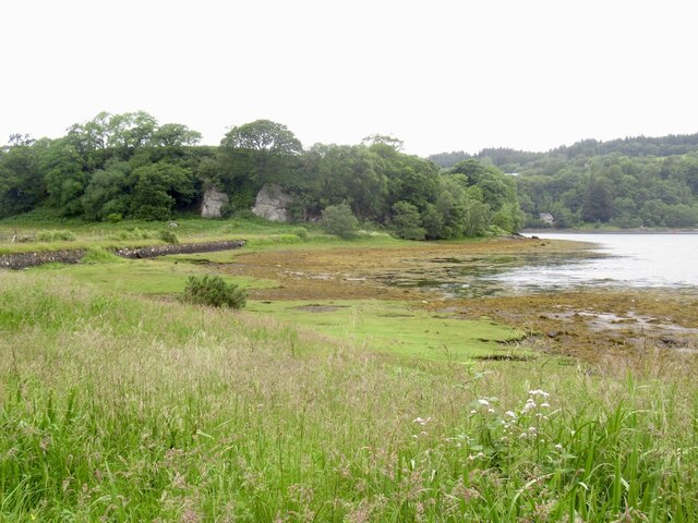
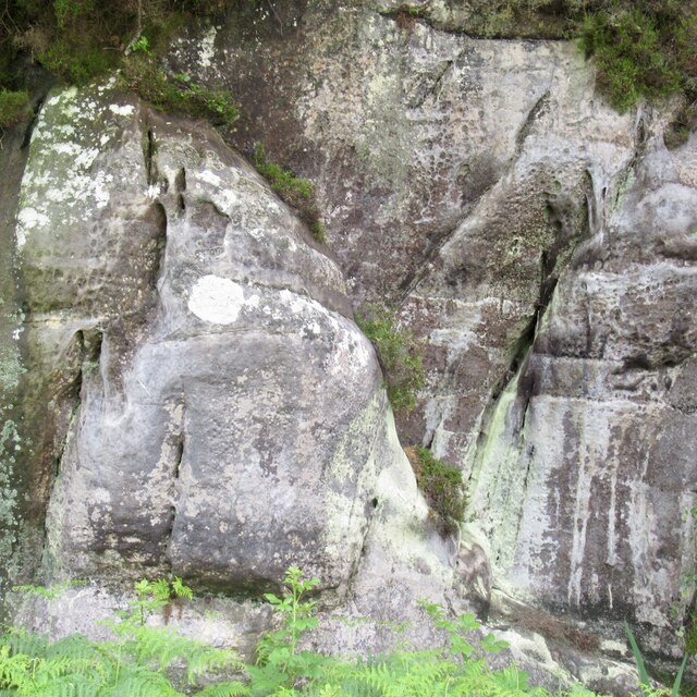
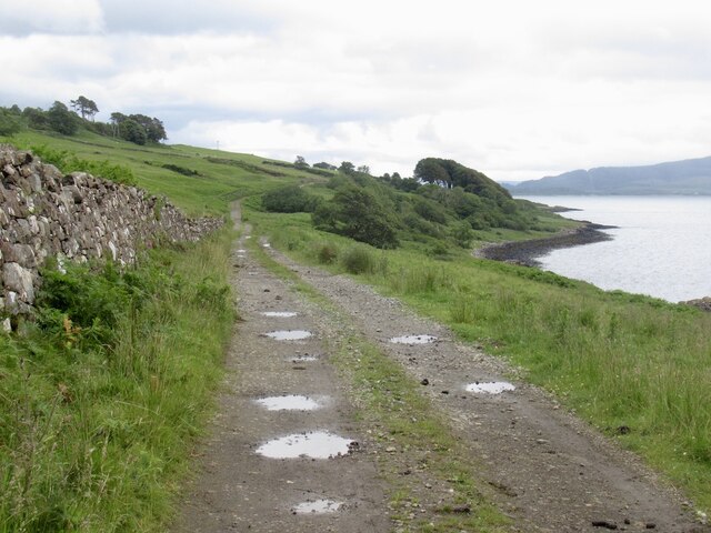
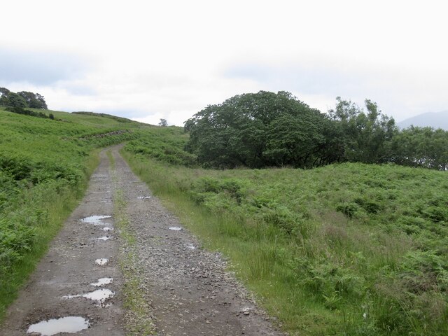
Loch Alainn is a picturesque freshwater lake located in Argyllshire, Scotland. It is surrounded by lush green hills and forests, creating a tranquil and serene atmosphere for visitors to enjoy. The lake is approximately 1.5 miles long and is known for its clear blue waters, making it a popular spot for fishing and water activities.

The surrounding area of Loch Alainn is home to diverse wildlife, including red deer, otters, and a variety of bird species. Visitors can often spot these animals while taking a leisurely stroll along the shores of the lake.

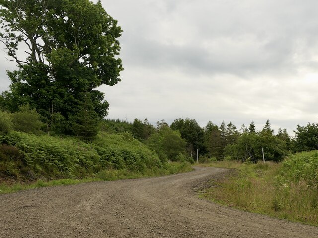
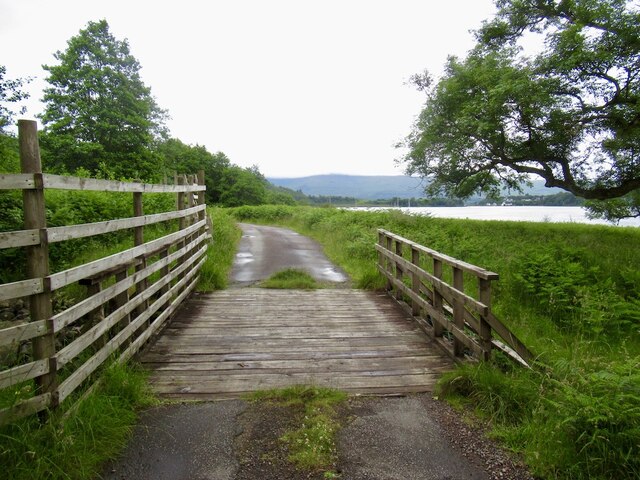
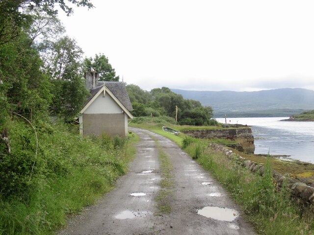
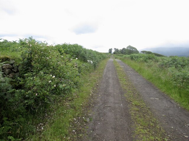
The nearby town of Argyllshire offers accommodations and amenities for visitors looking to explore the area further. There are also hiking trails and picnic areas around Loch Alainn for those looking to immerse themselves in the beauty of the Scottish countryside.

Overall, Loch Alainn is a stunning natural attraction in Argyllshire, offering a peaceful escape for nature lovers and outdoor enthusiasts alike.

If you have any feedback on the listing, please let us know in the comments section below.

Loch Alainn Images

Images are sourced within 2km of 56.536025/-5.777037 or Grid Reference NM6744. Thanks to Geograph Open Source API. All images are credited.

Ferry arrival, Lochaline Ferry from Mull.
Ferry arrival, Lochaline
Ferry from Mull.
On the ferry, Lochaline Rules for the open deck short route ferries - disease prevention by staying in the vehicle.  The black objects are chocks.

I don't like to take pictures from inside the car, but them's the rules!
On the ferry, Lochaline
Rules for the open deck short route ferries - disease prevention by staying in the vehicle. The black objects are chocks. I don't like to take pictures from inside the car, but them's the rules!
Bracken covered ground, Lochaline
Logging road, Lochaline
B849, Lochaline The road to Drimnin.
B849, Lochaline
The road to Drimnin.
Lochaline seen from Goirtein Dearg Sound of Mull beyond.
Lochaline seen from Goirtein Dearg
Sound of Mull beyond.
Caolas na h-Àirde The narrows at the mouth of Loch Aline. As expected there can be a bit of a tidal stream here.
Caolas na h-Àirde
The narrows at the mouth of Loch Aline. As expected there can be a bit of a tidal stream here.
Burn crossing, Loch Aline The road to Inninbeg on the east side of Loch Aline.
Burn crossing, Loch Aline
The road to Inninbeg on the east side of Loch Aline.
Road beside Loch Aline Road to Old Ardtornish and Inninbeg
Road beside Loch Aline
Road to Old Ardtornish and Inninbeg
Silica mine, Lochaline Developed during World War II as a domestic source of pure quartz for optics. Most sand contains metals, this is near 100% silicon dioxide and is an exceptional deposit. The mine closed in 2008 but has since resumed production. 

The sands date back to shallow seas in the Cretaceous and were preserved from later erosion by the lava flows during the Tertiary volcanic episode.
Silica mine, Lochaline
Developed during World War II as a domestic source of pure quartz for optics. Most sand contains metals, this is near 100% silicon dioxide and is an exceptional deposit. The mine closed in 2008 but has since resumed production. The sands date back to shallow seas in the Cretaceous and were preserved from later erosion by the lava flows during the Tertiary volcanic episode.
Shed, Loch Aline Industrial building associated with fish farming. Appears to be lightly used.
Shed, Loch Aline
Industrial building associated with fish farming. Appears to be lightly used.
Road beside Loch Aline Road to Old Ardtornish and Inninbeg
Road beside Loch Aline
Road to Old Ardtornish and Inninbeg
View towards Cnap a' Chaolais The crags are of Cretaceous sandstone, related to the silica deposits mined across the loch.
View towards Cnap a' Chaolais
The crags are of Cretaceous sandstone, related to the silica deposits mined across the loch.
Sandstone crag, Cnap a' Chaolais The crag is of Cretaceous sandstone, related to the silica deposits mined across the loch.
Sandstone crag, Cnap a' Chaolais
The crag is of Cretaceous sandstone, related to the silica deposits mined across the loch.
Ferry House, Loch Aline
Road to Old Ardtornish
Show me another place!

Loch Alainn is located at Grid Ref: NM6744 (Lat: 56.536025, Lng: -5.777037)

Unitary Authority: Highland

Police Authority: Highlands and Islands

Also known as: Lochaline

What 3 Words

///iceberg.secretly.besotted. Near Lochaline, Highland

Nearby Locations

Lochaline Loch Alainn

Related Wikis

Lochaline

Lochaline (Scottish Gaelic: Loch Àlainn) is the main village in the Morvern area of Highland, Scotland. The coastal village is situated at the mouth of...
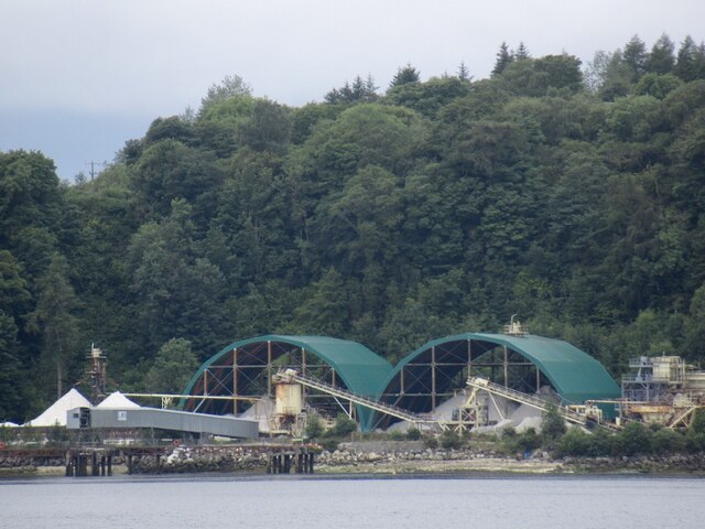
Lochaline Mine

Lochaline Mine is a mine on the Morvern peninsula of the Highland area of Scotland. The mine works a white cretaceous sandstone to produce high grade silica...

Loch Aline

Loch Aline (Scottish Gaelic: Loch Àlainn) is a small salt water loch home to fish, birds and game, located in Morvern, Lochaber, Scotland. Key features...

Ardtornish Castle

Ardtornish Castle is situated in the grounds of the Ardtornish estate in Morvern, on the west coast of Scotland. It stands at the seaward end of a promontory...

Nearby Amenities

Located within 500m of 56.536025,-5.777037
Ferry Terminal
Ferry: yes
Public Transport: station
Lat/Long: 56.5366936/-5.7751905
Bus Stop
Lochaline Pier
Bench: yes
Naptan AtcoCode: 6700712939
Naptan Bearing: NE
Naptan CommonName: Lochaline Pier
Naptan Indicator: at Slipway
Naptan Landmark: Pier
Naptan NaptanCode: 45327232
Naptan Street: A884
Naptan Verified: no
Shelter: yes
Source: naptan_import
Lat/Long: 56.5362887/-5.7759059
Bus Stop
Drimnin Road End
Naptan AtcoCode: 6700713446
Naptan Bearing: S
Naptan CommonName: Drimnin Road End
Naptan Indicator: opp Drimnin Road End
Naptan Landmark: B849
Naptan NaptanCode: 45327234
Naptan Street: A884
Naptan Verified: no
Source: naptan_import
Lat/Long: 56.5396395/-5.7791695
Bus Stop
Drimnin Road End
Naptan AtcoCode: 6700713446A
Naptan Bearing: N
Naptan CommonName: Drimnin Road End
Naptan Indicator: at Drimnin Road End
Naptan Landmark: B849
Naptan NaptanCode: 45327235
Naptan Street: A884
Naptan Verified: no
Source: naptan_import
Lat/Long: 56.5395735/-5.7783817
Bus Stop
Tor na Faire
Naptan AtcoCode: 6700713447
Naptan Bearing: E
Naptan CommonName: Tor na Faire
Naptan Indicator: at Tor na Faire
Naptan Landmark: Tor na Faire
Naptan NaptanCode: 45328734
Naptan Street: Back road
Naptan Verified: no
Source: naptan_import
Lat/Long: 56.5345692/-5.7794287
Bus Stop
Tor na Faire
Naptan AtcoCode: 6700713447A
Naptan Bearing: W
Naptan CommonName: Tor na Faire
Naptan Indicator: opp Tor na Faire
Naptan Landmark: Tor na Faire
Naptan NaptanCode: 45329628
Naptan Street: Back road
Naptan Verified: no
Source: naptan_import
Lat/Long: 56.534488/-5.7794369
Bus Stop
Kirk Brae
Local Ref: AT
Naptan AtcoCode: 6700714040
Naptan Bearing: NW
Naptan CommonName: Kirk Brae
Naptan Indicator: at
Naptan Landmark: Turning Circle
Naptan NaptanCode: 45342468
Naptan Street: Kirk Brae
Naptan Verified: no
Source: naptan_import
Lat/Long: 56.5389377/-5.7809548
Lochaline
Name En: Lochaline
Name Gd: Loch Àlainn
Name Sco: Loch Alin
Place: village
Population: 260
Wikidata: Q1867307
Wikipedia: en:Lochaline
Lat/Long: 56.5361387/-5.7768981
Lochaline Hotal
Tourism: hotel
Lat/Long: 56.5337596/-5.7824142
Fuel
Lat/Long: 56.5362181/-5.77706
Post Box
Post Box Design: type_l
Post Box Type: lamp
Ref: PA34 1111
Royal Cypher: scottish_crown
Lat/Long: 56.5361129/-5.7768037
Seamark Light Category: lower
Seamark Light Character: F
Seamark Light Colour: white
Seamark Light Height: 2
Seamark Light Reference: A 4125.3
Seamark Name: Loch Aline
Seamark Type: light_minor
Source: US NGA Pub. 114. 2011-05-26.
Lat/Long: 56.5397167/-5.7745
Telephone
Booth: K6
Covered: booth
Phone: +44 1967 421 219
Lat/Long: 56.5357786/-5.7767259
Morvern War Memorial
Historic: memorial
Lat/Long: 56.5343647/-5.7778357
Power: pole
Lat/Long: 56.5399754/-5.7773448
Generator Source: solar
Power: generator
Lat/Long: 56.5345338/-5.7807693
Generator Source: solar
Power: generator
Lat/Long: 56.534519/-5.7806768
Fire Station
Operator: Scottish Fire and Rescue Service
Operator Wikidata: Q7437729
Lat/Long: 56.5385428/-5.7787687
Source: PGS
Lat/Long: 56.5344243/-5.7757717
The data included in this document is from www.openstreetmap.org. The data is made available under ODbL.

Have you been to Loch Alainn?

Leave your review of Loch Alainn below (or comments, questions and feedback).