Leomansley

Settlement in Staffordshire Lichfield

England

Leomansley

Old Milestone, A461 Modern placement is on the SE side of the road on the grass verge. Installed between 1947 and 1956 according to maps.

Inscription: Lichfield / Parish // Walsall 8 // Lichfield 1½

Milestone Society ID: ST_WLLF08
Old Milestone, A461 Credit: Ivan Clare

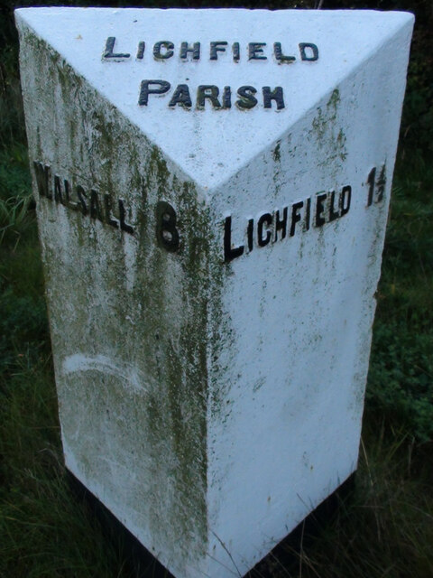
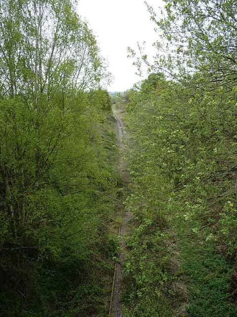
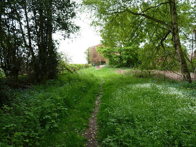
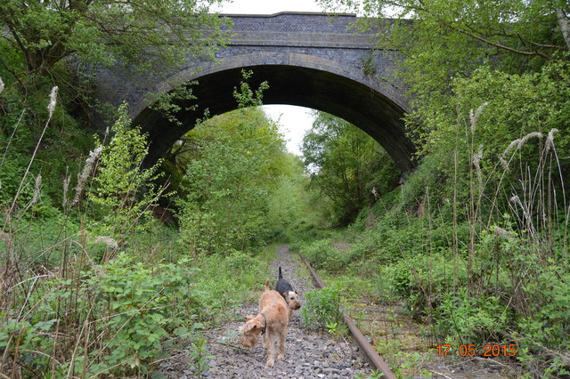
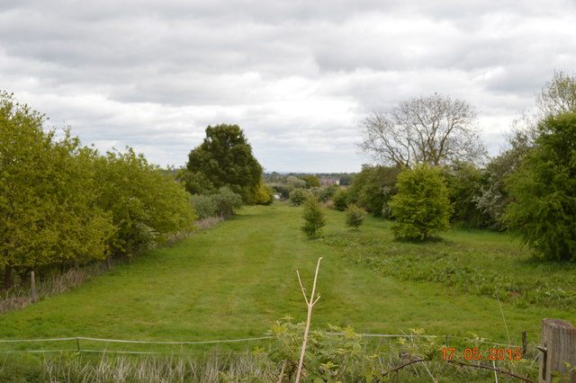
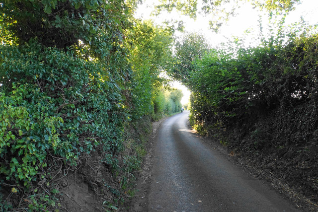
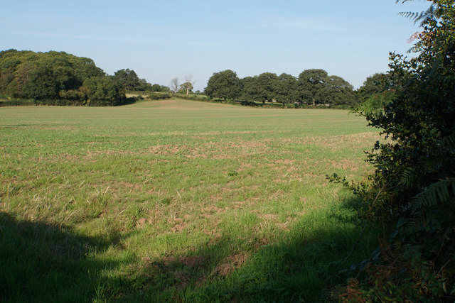
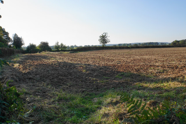
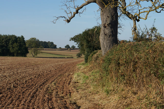
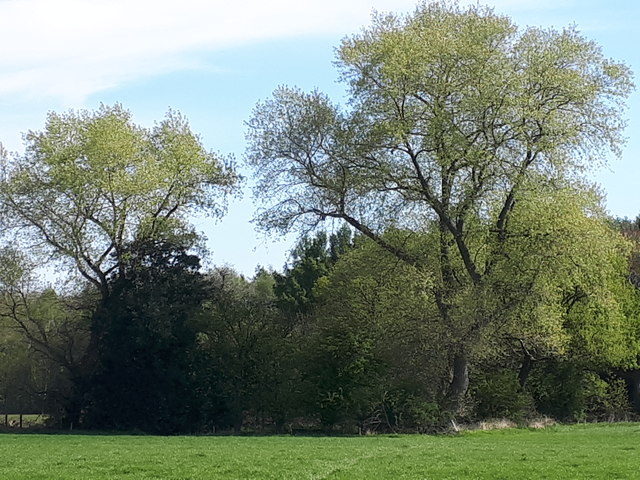
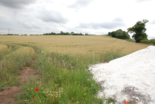
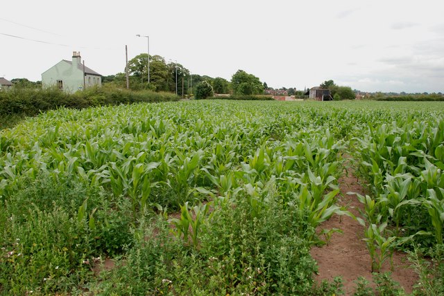
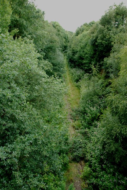
Leomansley is a small village located in the county of Staffordshire, England. Situated on the outskirts of the city of Lichfield, it is known for its picturesque surroundings and historical significance. The village is nestled within a rural landscape, surrounded by lush green fields and rolling hills, offering a tranquil and idyllic atmosphere.

Leomansley boasts a rich historical heritage, with evidence of human activity dating back to Roman times. The village is home to several ancient landmarks, including St. Leonard's Church, a Grade II listed building with origins dating back to the 12th century. The church's architecture showcases both Norman and Gothic influences, making it a notable attraction for history enthusiasts and architecture lovers.

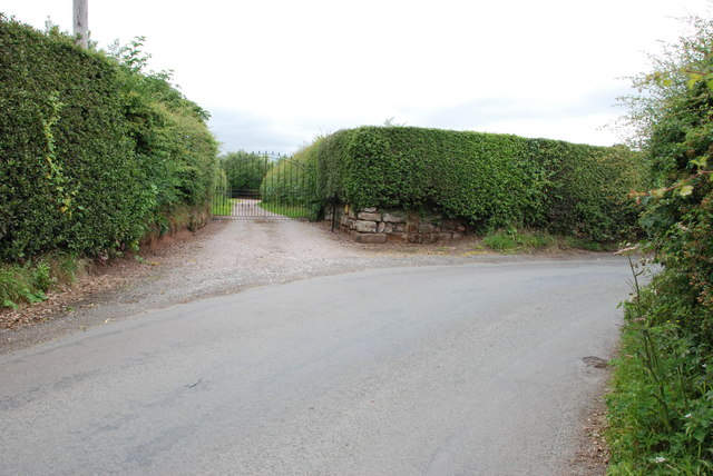
The village itself is characterized by its charming cottages and traditional English countryside aesthetics. Leomansley is known for its tight-knit community, with friendly locals who take pride in their village and its heritage. The community organizes various events and gatherings throughout the year, fostering a sense of togetherness and community spirit.

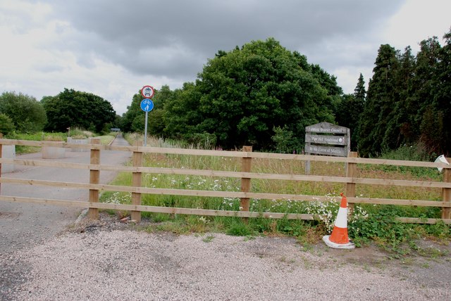
Leomansley benefits from its proximity to the city of Lichfield, where residents can access a range of amenities, including shops, restaurants, and schools. The village also offers convenient transport links, with regular bus services connecting it to the wider region.

Overall, Leomansley is a peaceful and historic village that offers both natural beauty and a strong sense of community. It provides an ideal retreat for those seeking a rural lifestyle while remaining within reach of urban conveniences.

If you have any feedback on the listing, please let us know in the comments section below.
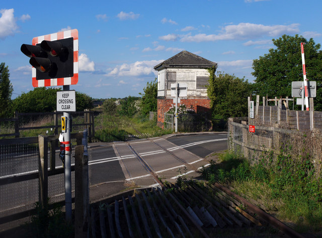
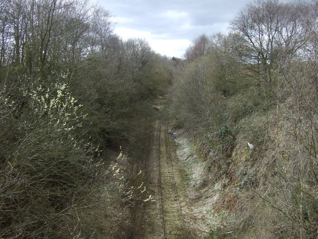
Leomansley Images

Images are sourced within 2km of 52.678838/-1.8424788 or Grid Reference SK1009. Thanks to Geograph Open Source API. All images are credited.

Old Milestone, A461 Modern placement is on the SE side of the road on the grass verge. Installed between 1947 and 1956 according to maps.

Inscription: Lichfield / Parish // Walsall 8 // Lichfield 1½

Milestone Society ID: ST_WLLF08
Old Milestone, A461
Modern placement is on the SE side of the road on the grass verge. Installed between 1947 and 1956 according to maps. Inscription: Lichfield / Parish // Walsall 8 // Lichfield 1½ Milestone Society ID: ST_WLLF08
Lichfield direction on the former railway line The opposite view to that taken from the trackbed in <a href="https://www.geograph.org.uk/photo/4852272">SK0907 : Old Bridge</a>
Lichfield direction on the former railway line
The opposite view to that taken from the trackbed in SK0907 : Old Bridge
Track towards Peolsford House Part of a bridleway/footpath route from Pipehill to Pipe Hall - the route changes designation at an administrative boundary between the two.
Track towards Peolsford House
Part of a bridleway/footpath route from Pipehill to Pipe Hall - the route changes designation at an administrative boundary between the two.
Significant work to be done Some rebuilding work underway on a cottage beside the A461 at Pipe Marsh
Significant work to be done
Some rebuilding work underway on a cottage beside the A461 at Pipe Marsh
Old Bridge Bridge carrying Wall Lane over the long disused Lichfield to Walsall railway. The rails are pretty clear in the other direction to Lichfield but past the bridge mother nature has been busy.

<span class="nowrap"><a title="http://southstaffsrail.webs.com/" rel="nofollow ugc noopener" href="http://southstaffsrail.webs.com/">Link</a><img style="margin-left:2px;" alt="External link" title="External link - shift click to open in new window" src="https://s1.geograph.org.uk/img/external.png" width="10" height="10"/></span>
Old Bridge
Bridge carrying Wall Lane over the long disused Lichfield to Walsall railway. The rails are pretty clear in the other direction to Lichfield but past the bridge mother nature has been busy. LinkExternal link
Old Canal Looking down the route of the long abandoned Lichfield canal which once ran from just outside Brownhills to Huddlesford.

<span class="nowrap"><a title="http://www.lhcrt.org.uk/" rel="nofollow ugc noopener" href="http://www.lhcrt.org.uk/">Link</a><img style="margin-left:2px;" alt="External link" title="External link - shift click to open in new window" src="https://s1.geograph.org.uk/img/external.png" width="10" height="10"/></span>
Old Canal
Looking down the route of the long abandoned Lichfield canal which once ran from just outside Brownhills to Huddlesford. LinkExternal link
Abnalls Lane The Heart of England Way uses this lane but it is not ideal. The lane is narrow with no provision for pedestrians. A break in the hedgerows would be nice too. To add to the users, it is also part of cycle route 54.
Abnalls Lane
The Heart of England Way uses this lane but it is not ideal. The lane is narrow with no provision for pedestrians. A break in the hedgerows would be nice too. To add to the users, it is also part of cycle route 54.
Green field near The Abnalls
The Heart of England Way near Pipe Hall The path crosses the field but in its current ploughed and planted state, it is not very easy. Ar present it seems that people are following the field edge to the left.
The Heart of England Way near Pipe Hall
The path crosses the field but in its current ploughed and planted state, it is not very easy. Ar present it seems that people are following the field edge to the left.
Field edge near Pipe Hall Looking north from Abnalls Lane.
Field edge near Pipe Hall
Looking north from Abnalls Lane.
Western edge of Sloppy Wood Giant Hornbeam trees at the edge of Sloppy Wood, Leomansley
Western edge of Sloppy Wood
Giant Hornbeam trees at the edge of Sloppy Wood, Leomansley
East Entrance to Pipe Hall
A Field Of Wheat, Walsall Rd, Pipehill There is a load of lime ready to be put on the ground, when the wheat has been harvested.
A Field Of Wheat, Walsall Rd, Pipehill
There is a load of lime ready to be put on the ground, when the wheat has been harvested.
Field of Sweetcorn, Walsall Road St Mary's Church spire in the market place Lichfield, can be seen to the left of the old barn.
Field of Sweetcorn, Walsall Road
St Mary's Church spire in the market place Lichfield, can be seen to the left of the old barn.
Disused Road from Burntwood to Pipehill Crossroads Adrian Rothery's photo "Pipehill Crossroads" shows this road before it was bypassed. The road has been diverted towards Lichfield to a new roundabout on the Walsall road.
Disused Road from Burntwood to Pipehill Crossroads
Adrian Rothery's photo "Pipehill Crossroads" shows this road before it was bypassed. The road has been diverted towards Lichfield to a new roundabout on the Walsall road.
Disused Lichfield to Brownhills Rail Line It is hard to believe how much this line has been covered by trees in the 2 years since Adrian Rothery Took "Railway line, Wall Lane". The track has almost disappeared.
Disused Lichfield to Brownhills Rail Line
It is hard to believe how much this line has been covered by trees in the 2 years since Adrian Rothery Took "Railway line, Wall Lane". The track has almost disappeared.
Fossway Crossing, Lichfield. A rather surprising survivor is the little signal box at Fossway Crossing just outside Lichfield.

The box is situated on the former South Staffordshire line from Wichnor Junction (M.R. spelling) to Walsall and was brought into use in 1875 containing a 10 lever LNWR tumbler frame.

After an uneventful existence closure came 98 years later on 16th December 1973 when the crossing was automated with AHB's supervised by Lichfield City No1.  The box remained however as the crossing attendant's accommodation for times when the barriers were on 'local control'.

Eleven years later on 19th March 1984 the through route closed but the double line remained from Lichfield to Anglesea Sidings at Brownhills for deliveries of heating oil to Charringtons depot.  Bizarrely the double line was worked as a one-train single line with a train staff, trains going as before on the up and returning on the down merely because of the automatic crossing here.

This situation remained until the cross-city line was electrified and with the closure of Lichfield City box on 10th October 1992 control of the signalling passed to Aston and - the  opportunity was taken to single the branch line and renew the half barriers here.

The final delivery of heating oil took place in 2001 and the branch was mothballed, there are still long term plans to reinstate the through route to Walsall so trains may once again pass this way...

In the meantime someone should surely look at preserving this diminutive little LNWR type 3 for posterity.
Fossway Crossing, Lichfield.
A rather surprising survivor is the little signal box at Fossway Crossing just outside Lichfield. The box is situated on the former South Staffordshire line from Wichnor Junction (M.R. spelling) to Walsall and was brought into use in 1875 containing a 10 lever LNWR tumbler frame. After an uneventful existence closure came 98 years later on 16th December 1973 when the crossing was automated with AHB's supervised by Lichfield City No1. The box remained however as the crossing attendant's accommodation for times when the barriers were on 'local control'. Eleven years later on 19th March 1984 the through route closed but the double line remained from Lichfield to Anglesea Sidings at Brownhills for deliveries of heating oil to Charringtons depot. Bizarrely the double line was worked as a one-train single line with a train staff, trains going as before on the up and returning on the down merely because of the automatic crossing here. This situation remained until the cross-city line was electrified and with the closure of Lichfield City box on 10th October 1992 control of the signalling passed to Aston and - the opportunity was taken to single the branch line and renew the half barriers here. The final delivery of heating oil took place in 2001 and the branch was mothballed, there are still long term plans to reinstate the through route to Walsall so trains may once again pass this way... In the meantime someone should surely look at preserving this diminutive little LNWR type 3 for posterity.
Railway heading west Does not appear to have been used for a while and is falling into disrepair.
Railway heading west
Does not appear to have been used for a while and is falling into disrepair.
Show me another place!

Leomansley is located at Grid Ref: SK1009 (Lat: 52.678838, Lng: -1.8424788)

Administrative County: Staffordshire

District: Lichfield

Police Authority: Staffordshire

What 3 Words

///engage.stages.orchestra. Near Lichfield, Staffordshire

Related Wikis

Christ Church, Lichfield

Christ Church is a parish church in Lichfield, Staffordshire in the United Kingdom. The church is situated in Leamonsley in the south west area of the...

Lichfield Clock Tower

Lichfield Clock Tower or Friary Clock Tower is a 19th-century Grade II listed clock tower located on "The Friary" south of Festival Gardens in the city...

Beacon Park

Beacon Park is a public park in the centre of the city of Lichfield, Staffordshire, in the United Kingdom. The park was created in 1859 when the Museum...

Sandfields Pumping Station

Sandfields Pumping Station is a disused pumping station in Lichfield, in Staffordshire, England. The engine house was built in 1873 and contains the original...

Franciscan Friary, Lichfield

The Franciscan Friary was once a large estate located on the west side of Lichfield city centre in Staffordshire. The estate was built and inhabited by...

Lichfield Record Office

Lichfield Record Office held the archives for the City of Lichfield and its immediate vicinity. The archives were held at The Friary, Lichfield, and run...

Erasmus Darwin House

Erasmus Darwin House in Lichfield, Staffordshire is the former home of the English poet and physician Erasmus Darwin, grandfather of naturalist Charles...

Lichfield

Lichfield () is a cathedral city and civil parish in Staffordshire, England. Lichfield is situated 18 miles (29 km) south-east of Stafford, 9 miles (14...

Nearby Amenities

Located within 500m of 52.678838,-1.8424788
Crossing
Crossing: traffic_signals
Crossing Ref: toucan
Lat/Long: 52.6821299/-1.8399166
Traffic Signals
Lat/Long: 52.6802943/-1.8362026
Post Box
Ref: WS13 113
Lat/Long: 52.674987/-1.844167
Darwin Park
Place: suburb
Lat/Long: 52.675906/-1.8394296
Crossing
Button Operated: yes
Crossing: traffic_signals
Crossing Island: no
Crossing Ref: pelican
Tactile Paving: yes
Traffic Signals Sound: yes
Lat/Long: 52.6795925/-1.8365703
Crossing
Crossing: traffic_signals
Crossing Ref: pelican
Lat/Long: 52.6786155/-1.8434285
Turning Circle
Lat/Long: 52.6774683/-1.8458913
Power: substation
Ref: 01002
Lat/Long: 52.6758666/-1.8375935
Crossing
Crossing: traffic_signals
Crossing Ref: pelican
Lat/Long: 52.6779091/-1.8462569
Power: substation
Ref: 9413
Lat/Long: 52.6802452/-1.8455494
Turning Circle
Lat/Long: 52.6795357/-1.8425982
Power: substation
Ref: 01265
Lat/Long: 52.6780947/-1.839078
Power: substation
Ref: 63904
Lat/Long: 52.6756013/-1.8442658
Crossing
Crossing: traffic_signals
Crossing Ref: pelican
Lat/Long: 52.6799666/-1.8380816
Bus Stop
Christchurch Lane
Bus: yes
Naptan AtcoCode: 3800C409201
Naptan Bearing: SW
Naptan CommonName: Christchurch Lane
Naptan Indicator: Opp
Naptan Landmark: Christchurch Lane
Naptan PlusbusZoneRef: LCHC
Naptan Street: Walsall Rd
Naptan Verified: no
Public Transport: platform
Source: naptan_import
Lat/Long: 52.679632/-1.8391862
Bus Stop
Christchurch Lane
Bus: yes
Naptan AtcoCode: 3800C409202
Naptan Bearing: NE
Naptan CommonName: Christchurch Lane
Naptan Indicator: Adj
Naptan Landmark: Christchurch Lane
Naptan PlusbusZoneRef: LCHC
Naptan Street: Walsall Road
Naptan Verified: no
Public Transport: platform
Source: naptan_import
Lat/Long: 52.679713/-1.8392598
Bus Stop
Waitrose
Bus: yes
Naptan AtcoCode: 3800C416401
Naptan Bearing: N
Naptan CommonName: Waitrose
Naptan Indicator: opp
Naptan PlusbusZoneRef: LCHC
Naptan Street: Stonneyland Drive
Naptan Verified: no
Public Transport: platform
Source: naptan_import
Lat/Long: 52.6746496/-1.8444401
Bus Stop
Waitrose
Bus: yes
Naptan AtcoCode: 3800C416402
Naptan Bearing: S
Naptan CommonName: Waitrose
Naptan Indicator: adj
Naptan PlusbusZoneRef: LCHC
Naptan Street: Stonneyland Drive
Naptan Verified: no
Public Transport: platform
Source: naptan_import
Lat/Long: 52.6749549/-1.8441728
Bus Stop
Christchurch Lane
Bus: yes
Naptan AtcoCode: 3800C432601
Naptan Bearing: SW
Naptan CommonName: Christchurch Lane
Naptan Indicator: Opp
Naptan Landmark: Christchurch Ln (W)
Naptan PlusbusZoneRef: LCHC
Naptan Street: Walsall Rd
Naptan Verified: no
Public Transport: platform
Source: naptan_import
Lat/Long: 52.6779687/-1.8458187
Bus Stop
Christchurch Lane
Bus: yes
Naptan AtcoCode: 3800C432602
Naptan Bearing: NE
Naptan CommonName: Christchurch Lane
Naptan Indicator: Adj
Naptan Landmark: Christchurch Ln (W)
Naptan PlusbusZoneRef: LCHC
Naptan Street: Walsall Rd
Naptan Verified: no
Public Transport: platform
Source: naptan_import
Lat/Long: 52.6782465/-1.8451077
Bus Stop
Angorfa Close
Bus: yes
Naptan AtcoCode: 3800C432701
Naptan Bearing: SW
Naptan CommonName: Angorfa Close
Naptan Indicator: Opp
Naptan Landmark: Angorfa Close
Naptan PlusbusZoneRef: LCHC
Naptan Street: Walsall Road
Naptan Verified: no
Public Transport: platform
Source: naptan_import
Lat/Long: 52.6786752/-1.8430206
Bus Stop
Angorfa Close
Bus: yes
Naptan AtcoCode: 3800C432702
Naptan Bearing: NE
Naptan CommonName: Angorfa Close
Naptan Indicator: Adj
Naptan Landmark: Angorfa Close
Naptan PlusbusZoneRef: LCHC
Naptan Street: Walsall Road
Naptan Verified: no
Public Transport: platform
Source: naptan_import
Lat/Long: 52.6789515/-1.8422492
Waste Basket
Check Date: 2022-03-23
Type: dog_waste
Lat/Long: 52.6822754/-1.8396421
Pharmacy
Boots
Brand: Boots
Brand Wikidata: Q6123139
Brand Wikipedia: en:Boots (company)
Dispensing: yes
Healthcare: pharmacy
Website: https://www.boots.com/stores/6313-lichfield-waitrse-ws13-6rx
Lat/Long: 52.6747026/-1.8438946
Mini Roundabout
Lat/Long: 52.6774235/-1.8477613
Fixme: review connection to other paths at bridge
Lat/Long: 52.6751384/-1.8453187
Generator Method: photovoltaic
Generator Output Electricity: yes
Generator Source: solar
Generator Type: solar_photovoltaic_panel
Location: roof
Power: generator
Lat/Long: 52.6763918/-1.8469128
Generator Method: photovoltaic
Generator Output Electricity: yes
Generator Source: solar
Generator Type: solar_photovoltaic_panel
Location: roof
Power: generator
Lat/Long: 52.6798654/-1.8403897
Generator Method: photovoltaic
Generator Output Electricity: yes
Generator Source: solar
Generator Type: solar_photovoltaic_panel
Location: roof
Power: generator
Lat/Long: 52.6780848/-1.8418086
The data included in this document is from www.openstreetmap.org. The data is made available under ODbL.

Have you been to Leomansley?

Leave your review of Leomansley below (or comments, questions and feedback).