Lescrow

Settlement in Cornwall

England

Lescrow

View NE across Fowey Harbour from Daglands Road
View NE across Fowey Harbour from Daglands Road Credit: Ian Cunliffe

Lescrow is a small village located in the county of Cornwall, in southwestern England. Situated near the town of St Austell, Lescrow is nestled amidst the picturesque countryside, offering residents and visitors a tranquil and idyllic setting. The village is part of the civil parish of Luxulyan, known for its rich history and natural beauty.

Lescrow is known for its close proximity to the Luxulyan Valley, a designated World Heritage Site. This lush valley is home to an ancient woodland, a stream, and an impressive viaduct, which was built in the 19th century and served as part of the Cornwall Railway. The viaduct, now a popular tourist attraction, stands as a testament to the region's industrial past.

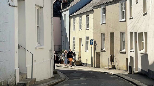
The village itself is relatively small, with a tight-knit community that takes pride in its heritage. Lescrow is characterized by charming traditional cottages, some of which date back several centuries. The village boasts a welcoming atmosphere, and locals often organize community events and gatherings throughout the year.

For those seeking outdoor activities, Lescrow offers ample opportunities. The surrounding countryside is dotted with walking trails, perfect for exploring the region's natural beauty. Additionally, the nearby Luxulyan Valley provides a variety of recreational activities, including hiking, cycling, and birdwatching.

Lescrow may be small, but it offers a peaceful retreat for those looking to escape the hustle and bustle of city life. With its stunning natural surroundings and warm community spirit, it is truly a hidden gem in the heart of Cornwall.

If you have any feedback on the listing, please let us know in the comments section below.
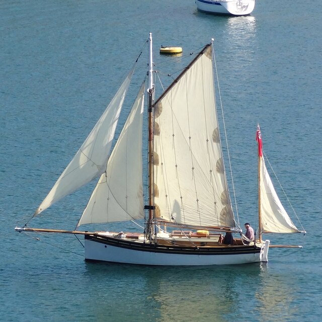
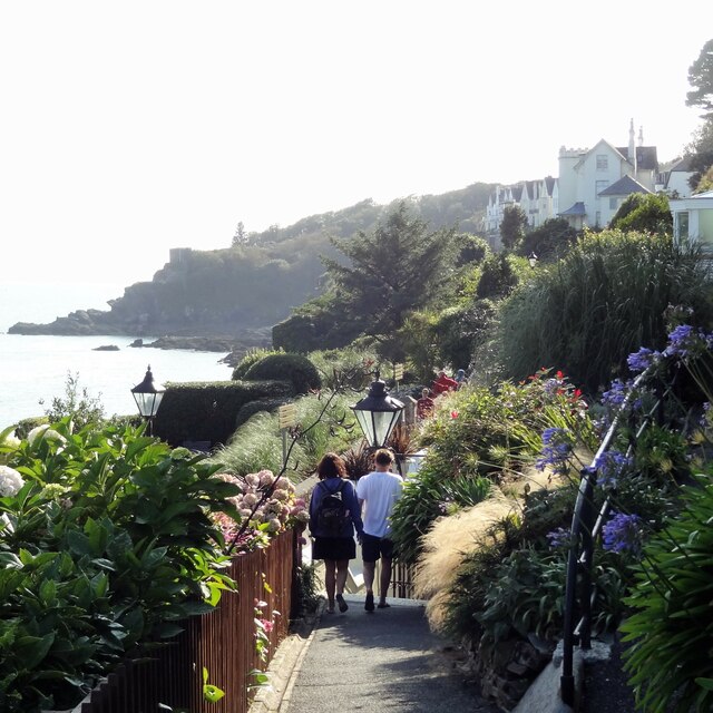
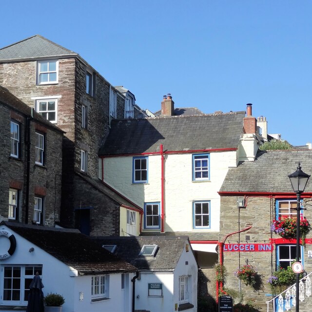
Lescrow Images

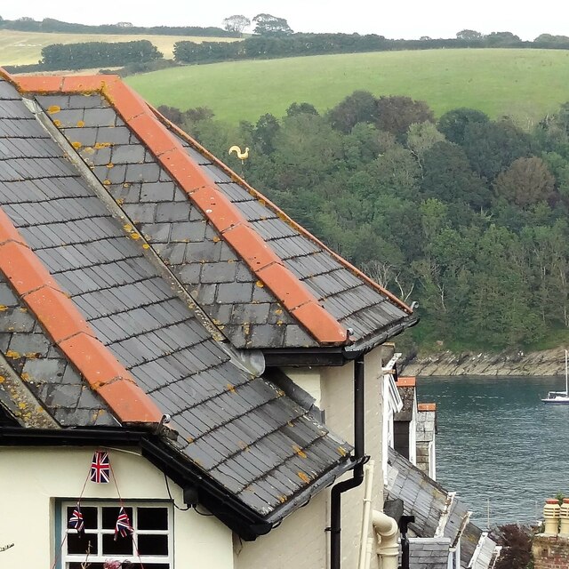
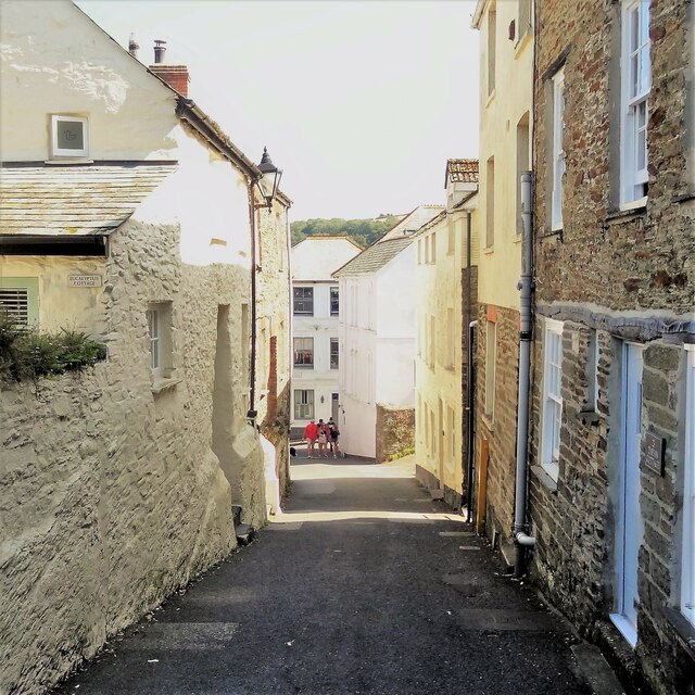
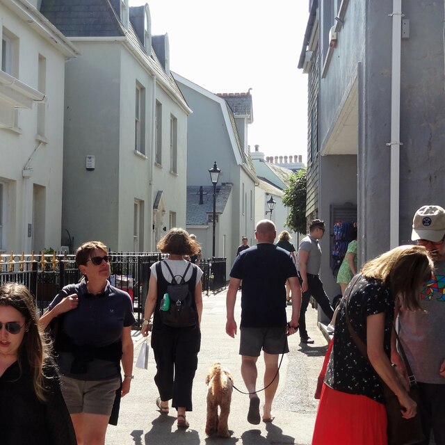
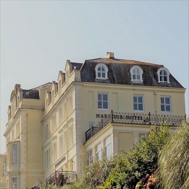
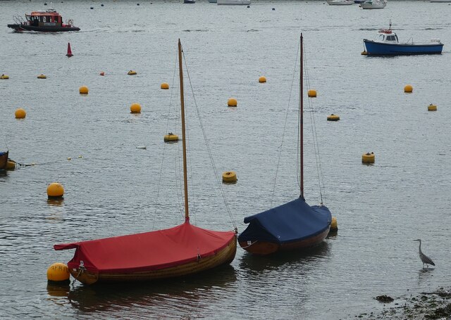
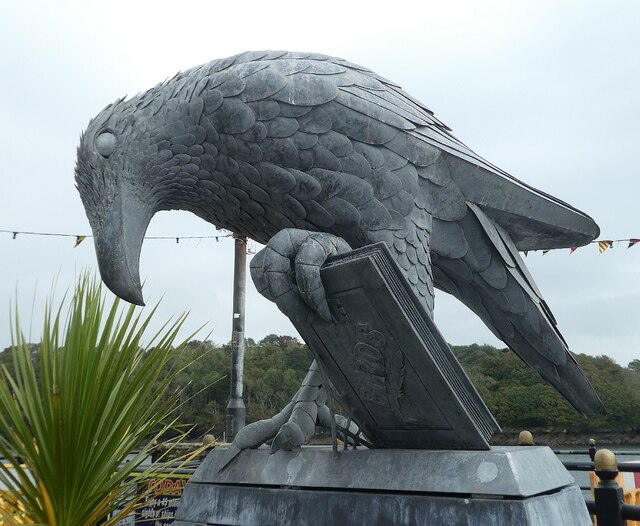
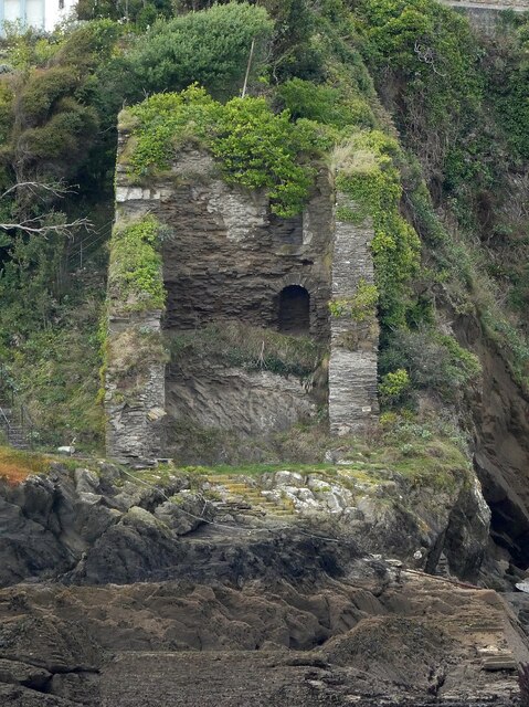
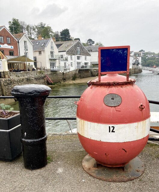
Images are sourced within 2km of 50.341572/-4.6480364 or Grid Reference SX1152. Thanks to Geograph Open Source API. All images are credited.
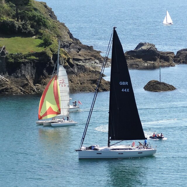
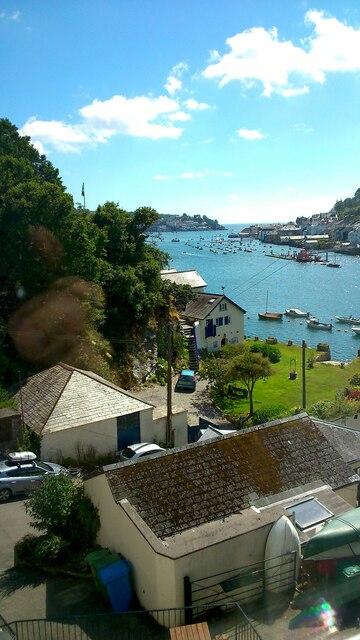
View NE across Fowey Harbour from Daglands Road
Lostwithiel Street
Lostwithiel Street
The Esplanade Fowey had many visitors on account of several days of fine sunny weather. I swear we once stayed in a hotel somewhere here on the left - on the seaward side of the Esplanade. It must have undergone a change of use, however, since I could no longer find it on this visit.
The Esplanade
Fowey had many visitors on account of several days of fine sunny weather. I swear we once stayed in a hotel somewhere here on the left - on the seaward side of the Esplanade. It must have undergone a change of use, however, since I could no longer find it on this visit.
Fowey Harbour Hotel There are other "Harbour Hotels" that are part of the same group - eg in Chichester and Brighton.
Fowey Harbour Hotel
There are other "Harbour Hotels" that are part of the same group - eg in Chichester and Brighton.
Yacht in Fowey Harbour
Path below Fowey Harbour Hotel - view to the SW The hotel has two entrances. This path leads to the lower pedestrian entrance on the Esplanade. The main entrance is on the other (north) side - off Daglands Road.
Path below Fowey Harbour Hotel - view to the SW
The hotel has two entrances. This path leads to the lower pedestrian entrance on the Esplanade. The main entrance is on the other (north) side - off Daglands Road.
Cluster of buildings near The Quay This is a cross-grid shot. The camera was in SX1251.
Cluster of buildings near The Quay
This is a cross-grid shot. The camera was in SX1251.
Yachts in Fowey Harbour - view to the SSE The headland on the far side is the end of the peninsula on which Polruan sits. This headland doesn't appear to have any name on the OS Map.
Yachts in Fowey Harbour - view to the SSE
The headland on the far side is the end of the peninsula on which Polruan sits. This headland doesn't appear to have any name on the OS Map.
Dining room - Fowey Harbour Hotel
Evening view to the WSW - below the Fowey Harbour Hotel
Fowey River from the Bodinnick Ferry A view up the Fowey River, taken from the car ferry between Bodinnick and Fowey.
Fowey River from the Bodinnick Ferry
A view up the Fowey River, taken from the car ferry between Bodinnick and Fowey.
Bodinnick and Fowey A view of Bodinnick and Fowey, with the Fowey River between.
Photograph taken from the terrace of the Ferry Inn.
Bodinnick and Fowey
A view of Bodinnick and Fowey, with the Fowey River between. Photograph taken from the terrace of the Ferry Inn.
Fowey - Boats and a heron A grey heron (Ardea cinerea) appears to be looking at the two moored boats with their red and blue covers ... but he's more likely interested in finding a fish.
Fowey - Boats and a heron
A grey heron (Ardea cinerea) appears to be looking at the two moored boats with their red and blue covers ... but he's more likely interested in finding a fish.
Fowey - Rook with a book sculpture This striking sculpture of a 'rook with a book' is a reference to local author Daphne du Maurier. For the full story behind this public artwork, see <span class="nowrap"><a title="https://thrussells.com/fowey-rook-with-a-book-sculpture" rel="nofollow ugc noopener" href="https://thrussells.com/fowey-rook-with-a-book-sculpture">Link</a><img style="margin-left:2px;" alt="External link" title="External link - shift click to open in new window" src="https://s1.geograph.org.uk/img/external.png" width="10" height="10"/></span>
Fowey - Rook with a book sculpture
This striking sculpture of a 'rook with a book' is a reference to local author Daphne du Maurier. For the full story behind this public artwork, see LinkExternal link
Polruan from Fowey Looking over to the village of Polruan from the quayside in Fowey. A regular ferry can be taken between the two, running roughly every fifteen minutes during the day. The price each way [adult, 2021] is £2.50.
Polruan from Fowey
Looking over to the village of Polruan from the quayside in Fowey. A regular ferry can be taken between the two, running roughly every fifteen minutes during the day. The price each way [adult, 2021] is £2.50.
Fowey - Remains of blockhouse from Polruan blockhouse The entrance to Fowey harbour was guarded by two blockhouses one in Polruan which is still in quite good condition (though an empty shell) and the other, far more ruinous, on the Fowey side - seen here.
A very heavy chain was slung between the two - normally well below the waterline. But in the event of attack this chain could be raised to effectively seal the entrance.
Fowey - Remains of blockhouse from Polruan blockhouse
The entrance to Fowey harbour was guarded by two blockhouses one in Polruan which is still in quite good condition (though an empty shell) and the other, far more ruinous, on the Fowey side - seen here. A very heavy chain was slung between the two - normally well below the waterline. But in the event of attack this chain could be raised to effectively seal the entrance.
Sea mine collection box on Fowey Town Quay A sea mine from the Second World War is now a collection box. The Shipwrecked Mariners' Society provides financial support and practical assistance to merchant seafarers, fisherfolk and their dependants.

The sea mines were used to defend the British coast and harbours during the war. After the war, approximately 200 mine casings were donated to the society by the Admiralty for use as collection boxes. 60 of these currently survive at coastal towns around the country.

The text on the brass slotted plate through which you deposit your donation says 'The Shipwrecked Fishermen & Mariners Royal Benevolent Society - founded in 1839 for the alleviation of every phase of shipwreck distress among the seafaring population and their dependents. Over 1,000,000 cases relieved. "There is sorrow on the sea".

The collection box seems to have been relocated to a new position by the Town Quay steps, one of the pick up points used by the Polruan ferry. A Geograph image loaded in 2009 shows it previously stood on the spot which is now occupied by the statue called 'Rook with a book', a tribute to Daphne Du Maurier which was unveiled in 2018.
Sea mine collection box on Fowey Town Quay
A sea mine from the Second World War is now a collection box. The Shipwrecked Mariners' Society provides financial support and practical assistance to merchant seafarers, fisherfolk and their dependants. The sea mines were used to defend the British coast and harbours during the war. After the war, approximately 200 mine casings were donated to the society by the Admiralty for use as collection boxes. 60 of these currently survive at coastal towns around the country. The text on the brass slotted plate through which you deposit your donation says 'The Shipwrecked Fishermen & Mariners Royal Benevolent Society - founded in 1839 for the alleviation of every phase of shipwreck distress among the seafaring population and their dependents. Over 1,000,000 cases relieved. "There is sorrow on the sea". The collection box seems to have been relocated to a new position by the Town Quay steps, one of the pick up points used by the Polruan ferry. A Geograph image loaded in 2009 shows it previously stood on the spot which is now occupied by the statue called 'Rook with a book', a tribute to Daphne Du Maurier which was unveiled in 2018.
Passage Street According to the map, Passage Street becomes Station Road somewhere around the corner.
Passage Street
According to the map, Passage Street becomes Station Road somewhere around the corner.
Show me another place!

Lescrow is located at Grid Ref: SX1152 (Lat: 50.341572, Lng: -4.6480364)

Unitary Authority: Cornwall

Police Authority: Devon and Cornwall

What 3 Words

///continued.chainsaw.weeks. Near Fowey, Cornwall

Nearby Locations

Lescrow Tristan Stone

Related Wikis

Fowey River Academy

Fowey River Academy is a co-educational secondary school with academy status (Learning Edge Academies Partnership), serving a large and diverse catchment...

Fowey railway station

Fowey railway station (Cornish: Fowydh) was a station in Fowey, Cornwall from 1874 until 1965. The rail connection to the docks at Carne Point remains...
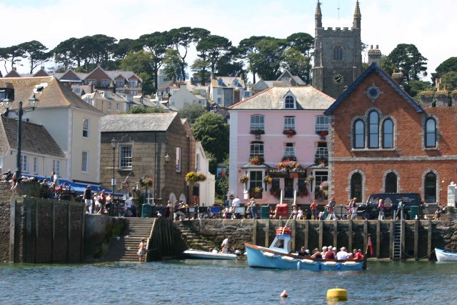
Fowey

Fowey ( FOY; Cornish: Fowydh, meaning 'Beech Trees') is a port town and civil parish at the mouth of the River Fowey in south Cornwall, England, United...

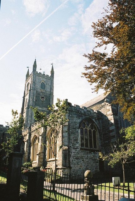
Church of St Fimbarrus, Fowey

The Church of St Fimbarrus is an Anglican parish church in Fowey, Cornwall, England. Also known as Fowey Parish Church, it is in the Church of England...

Nearby Amenities

Located within 500m of 50.341572,-4.6480364
Bus Stop
Langurtho Road
Bus: yes
Naptan AtcoCode: 0800COY38559
Naptan Bearing: E
Naptan CommonName: Langurtho Road
Naptan NaptanCode: cordmtmd
Naptan Street: Langurtho Road
Naptan Verified: no
Public Transport: platform
Source: naptan_import
Lat/Long: 50.3377441/-4.647923
Bus Stop
Langurtho Road
Bus: yes
Naptan AtcoCode: 0800COY38562
Naptan Bearing: E
Naptan CommonName: Langurtho Road
Naptan NaptanCode: cordmtmj
Naptan Street: Langurtho Road
Naptan Verified: no
Public Transport: platform
Source: naptan_import
Lat/Long: 50.3374923/-4.6459413
Bus Stop
Langurtho Road
Bus: yes
Naptan AtcoCode: 0800COY38565
Naptan Bearing: W
Naptan CommonName: Langurtho Road
Naptan NaptanCode: cordmtmp
Naptan Street: Langurtho Road
Naptan Verified: no
Public Transport: platform
Source: naptan_import
Lat/Long: 50.3373967/-4.6457954
Hillhay
Name Kw: Menahay
Place: locality
Lat/Long: 50.3414586/-4.6431556
Post Box
Post Box Design: waggon_top
Post Box Mounting: wall
Post Box Type: lamp
Ref: PL23 168
Royal Cypher: GVIR
Royal Cypher Wikidata: Q33102169
Lat/Long: 50.3408472/-4.6447414
Power: pole
Lat/Long: 50.3419659/-4.654664
Power: pole
Lat/Long: 50.3415508/-4.6532102
Power: pole
Lat/Long: 50.3410458/-4.6517068
Power: pole
Lat/Long: 50.3406957/-4.6504435
Power: pole
Lat/Long: 50.340611/-4.6492352
Power: pole
Lat/Long: 50.3405956/-4.6486008
Power: pole
Lat/Long: 50.3393031/-4.6506742
Power: pole
Lat/Long: 50.3399382/-4.6495114
Power: pole
Lat/Long: 50.3405074/-4.6486115
Power: pole
Lat/Long: 50.3406444/-4.6485941
Location Transition: yes
Power: pole
Lat/Long: 50.3407497/-4.646443
Power: pole
Lat/Long: 50.3404133/-4.6455552
Power: pole
Lat/Long: 50.3397679/-4.6439485
Location Transition: yes
Power: pole
Lat/Long: 50.3395385/-4.6433477
Location Transition: yes
Power: pole
Lat/Long: 50.3394709/-4.6436495
Power: pole
Lat/Long: 50.3400307/-4.6451797
Power: pole
Lat/Long: 50.3405263/-4.6465637
Power: pole
Lat/Long: 50.3407728/-4.6478444
Power: transformer
Lat/Long: 50.3407608/-4.6484144
Power: transformer
Lat/Long: 50.3408549/-4.6484379
Power: pole
Lat/Long: 50.3408618/-4.6482334
Power: pole
Lat/Long: 50.3408592/-4.6478954
Power: pole
Lat/Long: 50.3410775/-4.6467206
Power: pole
Lat/Long: 50.3412367/-4.645413
Power: pole
Lat/Long: 50.3422552/-4.645126
Power: pole
Lat/Long: 50.3435673/-4.6446821
Power: pole
Lat/Long: 50.3449649/-4.6459629
Power: pole
Lat/Long: 50.3455802/-4.6467313
Ford: yes
Lat/Long: 50.3407487/-4.64122
The data included in this document is from www.openstreetmap.org. The data is made available under ODbL.

Have you been to Lescrow?

Leave your review of Lescrow below (or comments, questions and feedback).