Pipe Green

Downs, Moorland in Staffordshire Lichfield

England

Pipe Green

Old Milestone, A461 Modern placement is on the SE side of the road on the grass verge. Installed between 1947 and 1956 according to maps.

Inscription: Lichfield / Parish // Walsall 8 // Lichfield 1½

Milestone Society ID: ST_WLLF08
Old Milestone, A461 Credit: Ivan Clare

Pipe Green is a small village located in Staffordshire, England. Situated in the heart of the county, it is surrounded by picturesque countryside, including downs and moorland landscapes. The village is known for its tranquil and idyllic setting, making it a popular destination for nature lovers and those seeking a peaceful retreat.

Despite its small size, Pipe Green has a rich history. It is believed to have been established in the medieval period and was initially an agricultural community. The village grew in prominence during the industrial revolution when local industries such as mining and quarrying thrived. Today, remnants of these industries can still be seen in the form of old mine shafts and quarries scattered throughout the area.

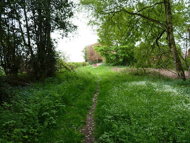
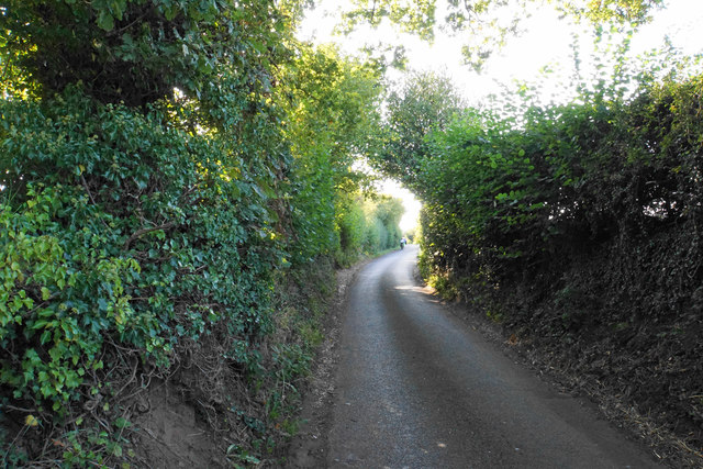
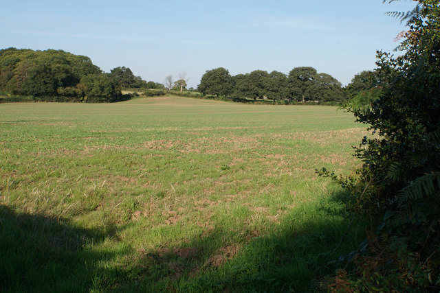
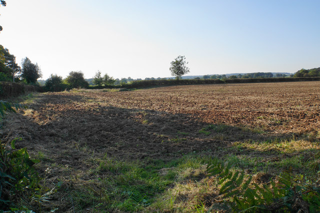
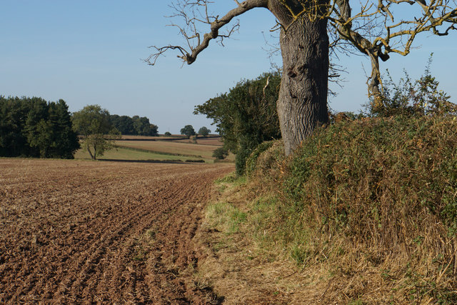
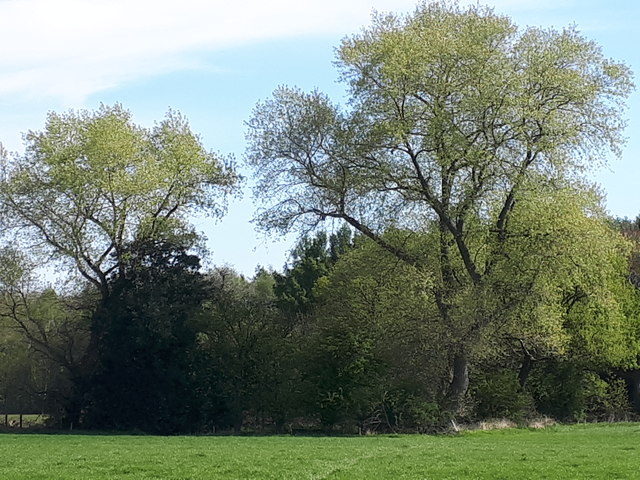
The downs and moorland surrounding Pipe Green offer ample opportunities for outdoor activities such as hiking, horseback riding, and birdwatching. The rolling hills and open spaces provide stunning panoramic views of the surrounding countryside, making it a haven for photographers and nature enthusiasts.

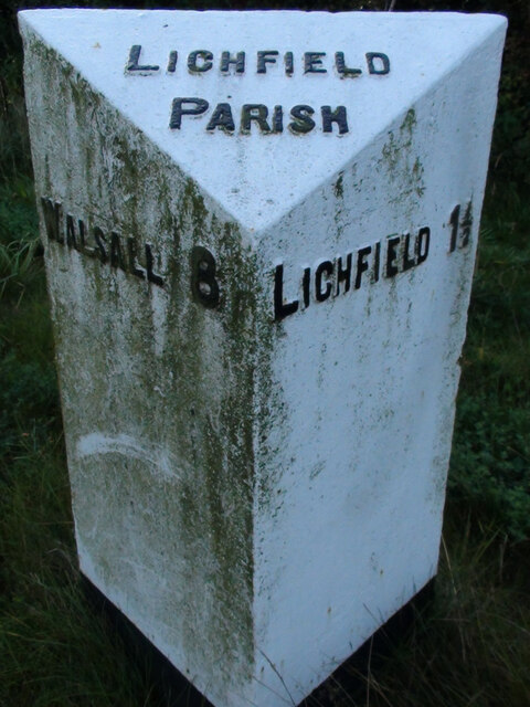
In terms of amenities, the village is relatively small, with a handful of local shops and pubs serving the community. For more extensive amenities, residents can easily access nearby towns such as Lichfield or Stafford.

Overall, Pipe Green is a charming village that offers a peaceful and scenic escape from the hustle and bustle of city life. With its rich history and stunning natural landscapes, it is a hidden gem in the Staffordshire countryside.

If you have any feedback on the listing, please let us know in the comments section below.
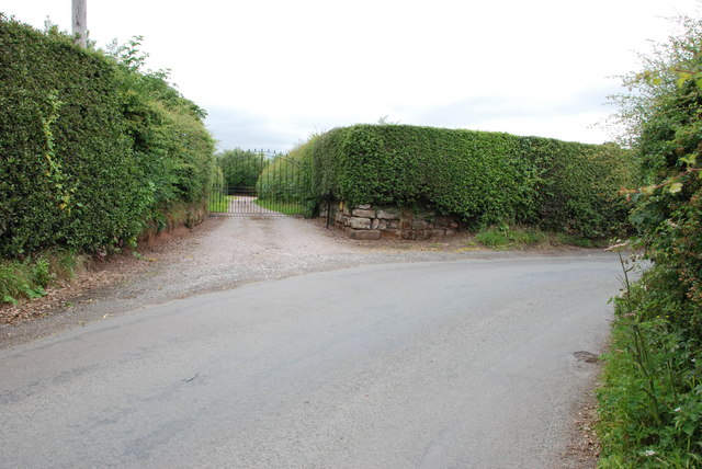
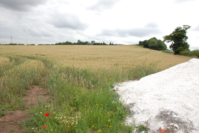
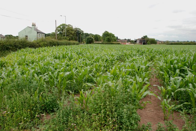
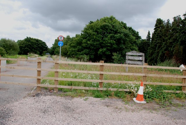
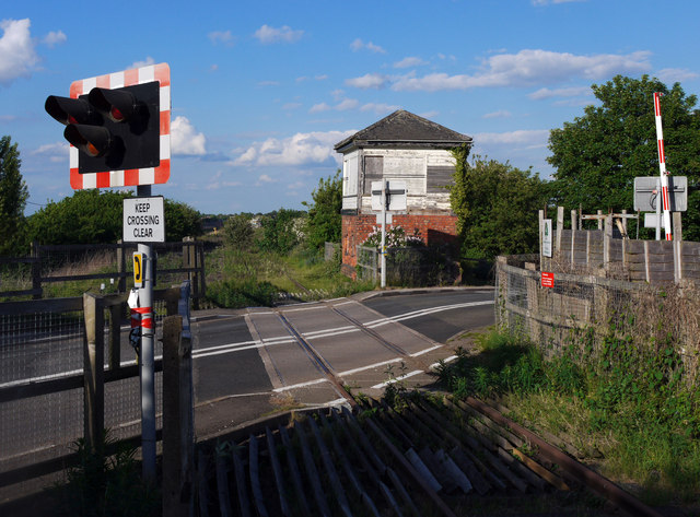
Pipe Green Images

Images are sourced within 2km of 52.685175/-1.8483141 or Grid Reference SK1009. Thanks to Geograph Open Source API. All images are credited.

Old Milestone, A461 Modern placement is on the SE side of the road on the grass verge. Installed between 1947 and 1956 according to maps.

Inscription: Lichfield / Parish // Walsall 8 // Lichfield 1½

Milestone Society ID: ST_WLLF08
Old Milestone, A461
Modern placement is on the SE side of the road on the grass verge. Installed between 1947 and 1956 according to maps. Inscription: Lichfield / Parish // Walsall 8 // Lichfield 1½ Milestone Society ID: ST_WLLF08
Track towards Peolsford House Part of a bridleway/footpath route from Pipehill to Pipe Hall - the route changes designation at an administrative boundary between the two.
Track towards Peolsford House
Part of a bridleway/footpath route from Pipehill to Pipe Hall - the route changes designation at an administrative boundary between the two.
Significant work to be done Some rebuilding work underway on a cottage beside the A461 at Pipe Marsh
Significant work to be done
Some rebuilding work underway on a cottage beside the A461 at Pipe Marsh
Abnalls Lane The Heart of England Way uses this lane but it is not ideal. The lane is narrow with no provision for pedestrians. A break in the hedgerows would be nice too. To add to the users, it is also part of cycle route 54.
Abnalls Lane
The Heart of England Way uses this lane but it is not ideal. The lane is narrow with no provision for pedestrians. A break in the hedgerows would be nice too. To add to the users, it is also part of cycle route 54.
Green field near The Abnalls
The Heart of England Way near Pipe Hall The path crosses the field but in its current ploughed and planted state, it is not very easy. Ar present it seems that people are following the field edge to the left.
The Heart of England Way near Pipe Hall
The path crosses the field but in its current ploughed and planted state, it is not very easy. Ar present it seems that people are following the field edge to the left.
Field edge near Pipe Hall Looking north from Abnalls Lane.
Field edge near Pipe Hall
Looking north from Abnalls Lane.
Western edge of Sloppy Wood Giant Hornbeam trees at the edge of Sloppy Wood, Leomansley
Western edge of Sloppy Wood
Giant Hornbeam trees at the edge of Sloppy Wood, Leomansley
East Entrance to Pipe Hall
A Field Of Wheat, Walsall Rd, Pipehill There is a load of lime ready to be put on the ground, when the wheat has been harvested.
A Field Of Wheat, Walsall Rd, Pipehill
There is a load of lime ready to be put on the ground, when the wheat has been harvested.
Field of Sweetcorn, Walsall Road St Mary's Church spire in the market place Lichfield, can be seen to the left of the old barn.
Field of Sweetcorn, Walsall Road
St Mary's Church spire in the market place Lichfield, can be seen to the left of the old barn.
Disused Road from Burntwood to Pipehill Crossroads Adrian Rothery's photo "Pipehill Crossroads" shows this road before it was bypassed. The road has been diverted towards Lichfield to a new roundabout on the Walsall road.
Disused Road from Burntwood to Pipehill Crossroads
Adrian Rothery's photo "Pipehill Crossroads" shows this road before it was bypassed. The road has been diverted towards Lichfield to a new roundabout on the Walsall road.
Fossway Crossing, Lichfield. A rather surprising survivor is the little signal box at Fossway Crossing just outside Lichfield.

The box is situated on the former South Staffordshire line from Wichnor Junction (M.R. spelling) to Walsall and was brought into use in 1875 containing a 10 lever LNWR tumbler frame.

After an uneventful existence closure came 98 years later on 16th December 1973 when the crossing was automated with AHB's supervised by Lichfield City No1.  The box remained however as the crossing attendant's accommodation for times when the barriers were on 'local control'.

Eleven years later on 19th March 1984 the through route closed but the double line remained from Lichfield to Anglesea Sidings at Brownhills for deliveries of heating oil to Charringtons depot.  Bizarrely the double line was worked as a one-train single line with a train staff, trains going as before on the up and returning on the down merely because of the automatic crossing here.

This situation remained until the cross-city line was electrified and with the closure of Lichfield City box on 10th October 1992 control of the signalling passed to Aston and - the  opportunity was taken to single the branch line and renew the half barriers here.

The final delivery of heating oil took place in 2001 and the branch was mothballed, there are still long term plans to reinstate the through route to Walsall so trains may once again pass this way...

In the meantime someone should surely look at preserving this diminutive little LNWR type 3 for posterity.
Fossway Crossing, Lichfield.
A rather surprising survivor is the little signal box at Fossway Crossing just outside Lichfield. The box is situated on the former South Staffordshire line from Wichnor Junction (M.R. spelling) to Walsall and was brought into use in 1875 containing a 10 lever LNWR tumbler frame. After an uneventful existence closure came 98 years later on 16th December 1973 when the crossing was automated with AHB's supervised by Lichfield City No1. The box remained however as the crossing attendant's accommodation for times when the barriers were on 'local control'. Eleven years later on 19th March 1984 the through route closed but the double line remained from Lichfield to Anglesea Sidings at Brownhills for deliveries of heating oil to Charringtons depot. Bizarrely the double line was worked as a one-train single line with a train staff, trains going as before on the up and returning on the down merely because of the automatic crossing here. This situation remained until the cross-city line was electrified and with the closure of Lichfield City box on 10th October 1992 control of the signalling passed to Aston and - the opportunity was taken to single the branch line and renew the half barriers here. The final delivery of heating oil took place in 2001 and the branch was mothballed, there are still long term plans to reinstate the through route to Walsall so trains may once again pass this way... In the meantime someone should surely look at preserving this diminutive little LNWR type 3 for posterity.
Cycle track, Pipe Marsh Was previously the main road.
Cycle track, Pipe Marsh
Was previously the main road.
Small pond, Pipe Marsh
A5190 heading west Towards Burntwood.
A5190 heading west
Towards Burntwood.
Farmland off Abnalls Lane
Abnalls Lane  Heading west.
Abnalls Lane
Heading west.
Show me another place!

Pipe Green is located at Grid Ref: SK1009 (Lat: 52.685175, Lng: -1.8483141)

Administrative County: Staffordshire

District: Lichfield

Police Authority: Staffordshire

What 3 Words

///logic.bunch.funds. Near Lichfield, Staffordshire

Related Wikis

Beacon Park

Beacon Park is a public park in the centre of the city of Lichfield, Staffordshire, in the United Kingdom. The park was created in 1859 when the Museum...

Christ Church, Lichfield

Christ Church is a parish church in Lichfield, Staffordshire in the United Kingdom. The church is situated in Leamonsley in the south west area of the...

Maple Hayes

Maple Hayes is late 18th century manor house, now occupied by a special needs school, near Lichfield, Staffordshire. It is a Grade II listed building....

Erasmus Darwin House

Erasmus Darwin House in Lichfield, Staffordshire is the former home of the English poet and physician Erasmus Darwin, grandfather of naturalist Charles...

The Friary School

The Friary School (formerly Friary Grange) is a mixed secondary school and sixth form located in Lichfield, Staffordshire, England. The school became an...

Lichfield Cathedral School

Lichfield Cathedral School is a private day school in the city of Lichfield, Staffordshire, England. It traces its lineage to the 14th century when Lichfield...

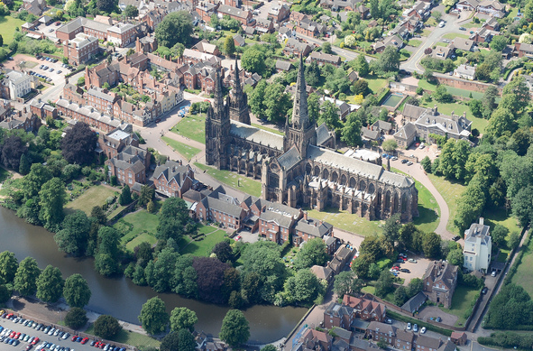
Cathedral Close, Lichfield

The Cathedral Close is a historic set of buildings surrounding Lichfield Cathedral in Lichfield in the United Kingdom. The Close comprises buildings associated...

Lichfield Theological College

Lichfield Theological College was founded in 1857 to train Anglican clergy to serve in the Church of England. It was located on the south side of the Cathedral...

Nearby Amenities

Located within 500m of 52.685175,-1.8483141
Barrier: stile
Foot: yes
Lat/Long: 52.6866513/-1.8447113
Barrier: kissing_gate
Source: survey
Lat/Long: 52.6878173/-1.851613
Barrier: kissing_gate
Source: survey
Lat/Long: 52.685577/-1.8473395
Barrier: stile
Source: survey
Lat/Long: 52.6865455/-1.8450393
Barrier: stile
Source: survey
Lat/Long: 52.6872025/-1.8434699
Waste Basket
Type: dog_waste
Lat/Long: 52.6843297/-1.8428372
Generator Method: photovoltaic
Generator Output Electricity: yes
Generator Source: solar
Generator Type: solar_photovoltaic_panel
Location: roof
Power: generator
Lat/Long: 52.6888066/-1.8442011
Bench
Backrest: no
Material: stone
Lat/Long: 52.6838017/-1.8530686
Golf: pin
Lat/Long: 52.6845673/-1.8421294
Golf: pin
Lat/Long: 52.6853785/-1.8431362
Golf: pin
Lat/Long: 52.6850716/-1.842314
Golf: pin
Lat/Long: 52.6858132/-1.8424181
Golf: pin
Lat/Long: 52.6860921/-1.8430771
Golf: pin
Lat/Long: 52.6870356/-1.8429566
Golf: pin
Lat/Long: 52.6867847/-1.8417033
Golf: pin
Lat/Long: 52.6867757/-1.8425805
Golf: pin
Lat/Long: 52.6861759/-1.8414531
Golf: pin
Lat/Long: 52.6859237/-1.841199
The data included in this document is from www.openstreetmap.org. The data is made available under ODbL.

Have you been to Pipe Green?

Leave your review of Pipe Green below (or comments, questions and feedback).