Sloppy Wood

Wood, Forest in Staffordshire Lichfield

England

Sloppy Wood

Old Milestone, A461 Modern placement is on the SE side of the road on the grass verge. Installed between 1947 and 1956 according to maps.

Inscription: Lichfield / Parish // Walsall 8 // Lichfield 1½

Milestone Society ID: ST_WLLF08
Old Milestone, A461 Credit: Ivan Clare

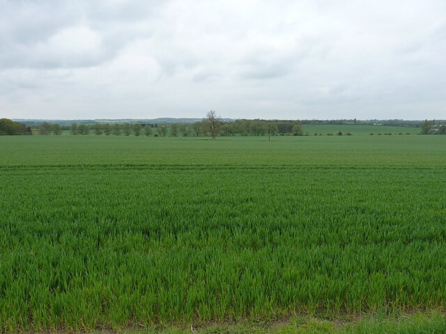
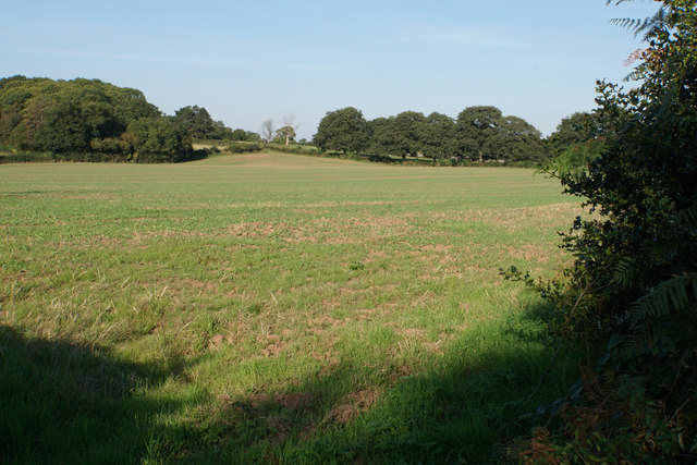
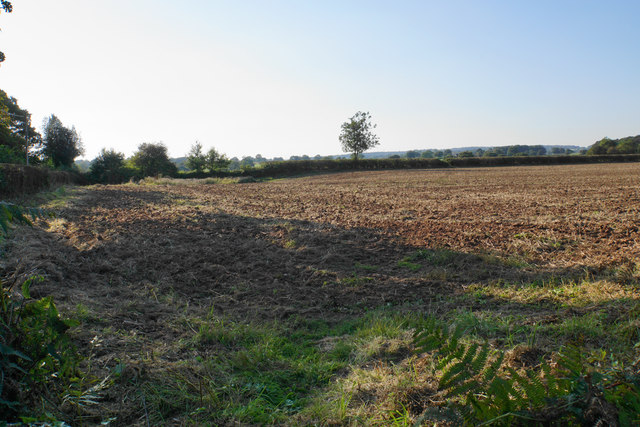
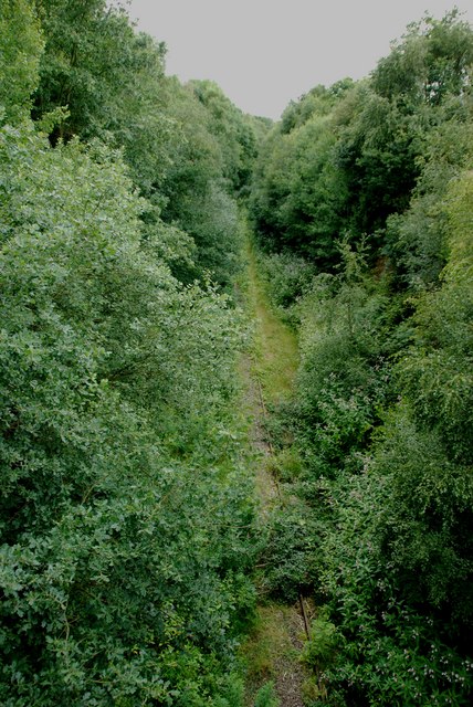
Sloppy Wood is a picturesque forest located in Staffordshire, England. Spanning an area of approximately 150 hectares, it is renowned for its natural beauty and diverse ecosystem. The wood is nestled within the rolling hills of Staffordshire, creating a tranquil and inviting atmosphere for visitors.

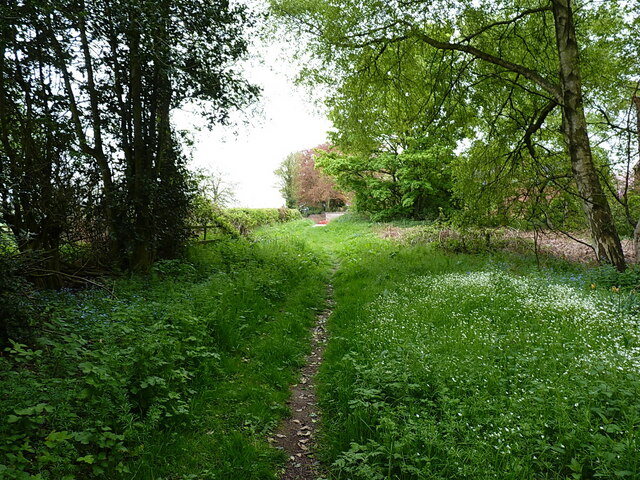
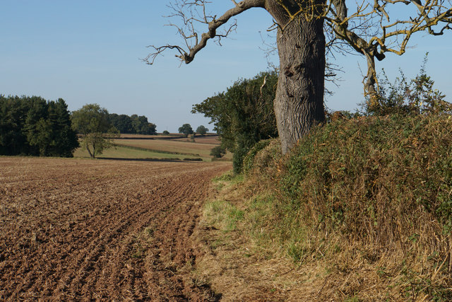
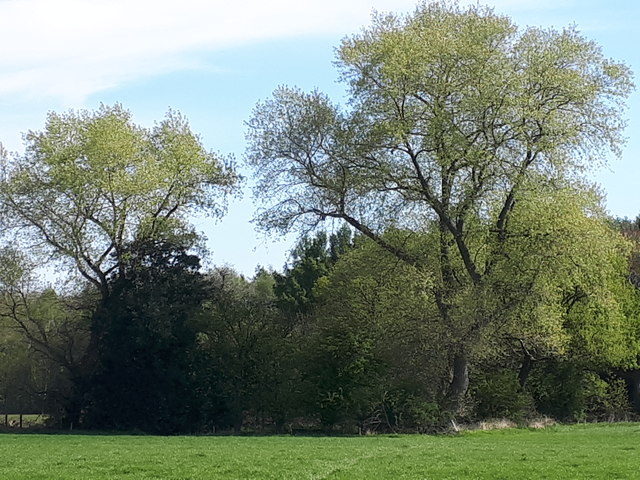
The forest is predominantly composed of deciduous trees, including oak, birch, and beech, which provide a stunning display of vibrant colors during the autumn months. The dense canopy created by these trees offers a cool and shaded environment, perfect for leisurely walks and picnics on warm summer days.

Home to a variety of wildlife, Sloppy Wood is a haven for nature enthusiasts. Visitors may catch a glimpse of roe deer, foxes, and a wide array of bird species, including woodpeckers and owls. The wood also boasts a rich insect population, with butterflies and beetles adding to the vibrant tapestry of life.

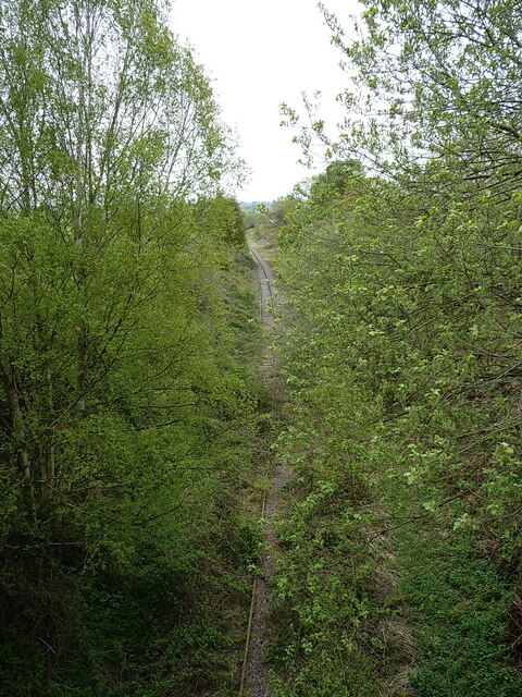
The forest is crisscrossed by a network of well-maintained trails, allowing visitors to explore its hidden treasures. These paths cater to all levels of fitness, from gentle strolls to more challenging hikes. Along the way, there are several designated viewpoints that offer breathtaking vistas of the surrounding Staffordshire countryside.

Sloppy Wood is managed by the Staffordshire County Council, ensuring the preservation of its natural beauty and the protection of its inhabitants. The council also organizes educational programs and guided tours to enhance visitors' understanding and appreciation of the wood's ecological importance.

Overall, Sloppy Wood is a delightful destination for nature lovers, offering a peaceful retreat from the hustle and bustle of everyday life. Whether one seeks solitude, adventure, or simply a connection with the natural world, this enchanting forest provides an idyllic setting for all.

If you have any feedback on the listing, please let us know in the comments section below.
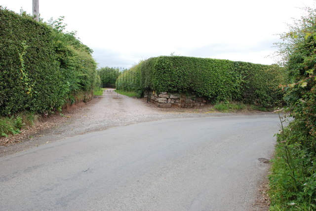
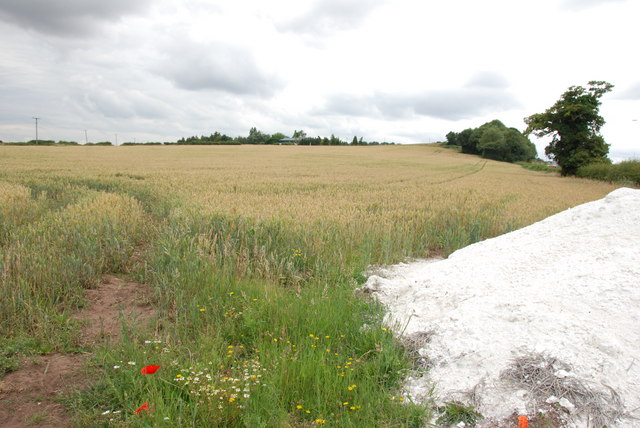
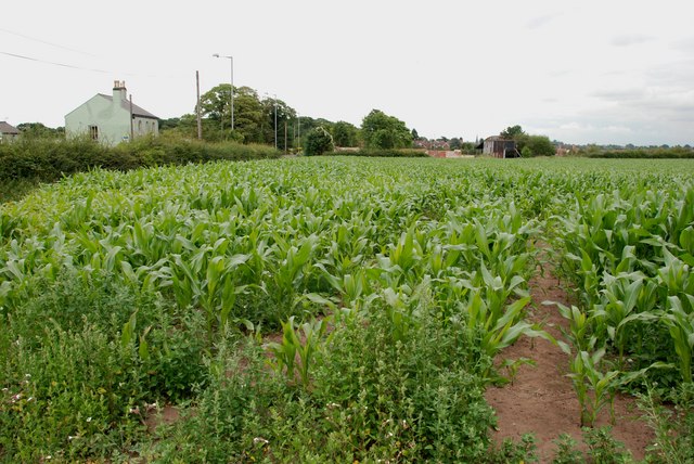
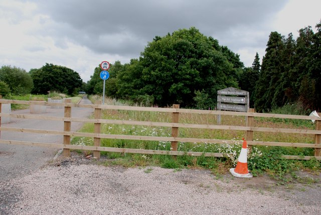
Sloppy Wood Images

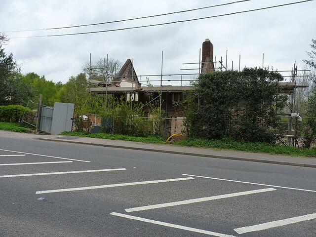
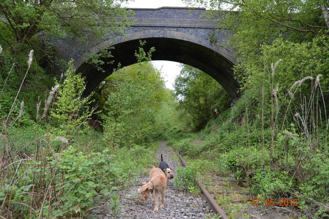
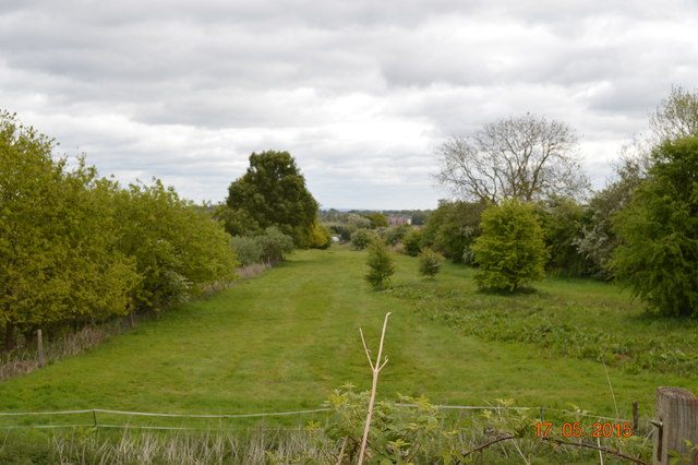
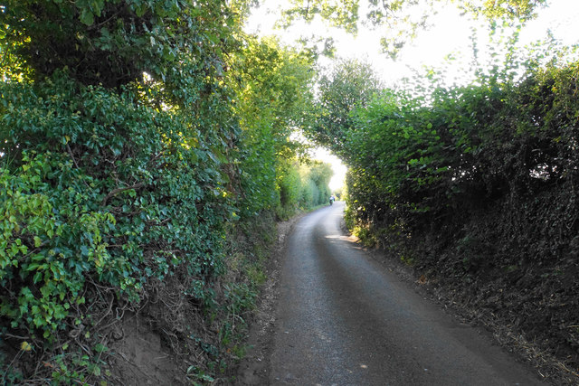
Images are sourced within 2km of 52.680118/-1.8520885 or Grid Reference SK1009. Thanks to Geograph Open Source API. All images are credited.

Old Milestone, A461 Modern placement is on the SE side of the road on the grass verge. Installed between 1947 and 1956 according to maps.

Inscription: Lichfield / Parish // Walsall 8 // Lichfield 1½

Milestone Society ID: ST_WLLF08
Old Milestone, A461
Modern placement is on the SE side of the road on the grass verge. Installed between 1947 and 1956 according to maps. Inscription: Lichfield / Parish // Walsall 8 // Lichfield 1½ Milestone Society ID: ST_WLLF08
Large field southwest of Wall Lane
Lichfield direction on the former railway line The opposite view to that taken from the trackbed in <a href="https://www.geograph.org.uk/photo/4852272">SK0907 : Old Bridge</a>
Lichfield direction on the former railway line
The opposite view to that taken from the trackbed in SK0907 : Old Bridge
Track towards Peolsford House Part of a bridleway/footpath route from Pipehill to Pipe Hall - the route changes designation at an administrative boundary between the two.
Track towards Peolsford House
Part of a bridleway/footpath route from Pipehill to Pipe Hall - the route changes designation at an administrative boundary between the two.
Significant work to be done Some rebuilding work underway on a cottage beside the A461 at Pipe Marsh
Significant work to be done
Some rebuilding work underway on a cottage beside the A461 at Pipe Marsh
Old Bridge Bridge carrying Wall Lane over the long disused Lichfield to Walsall railway. The rails are pretty clear in the other direction to Lichfield but past the bridge mother nature has been busy.

<span class="nowrap"><a title="http://southstaffsrail.webs.com/" rel="nofollow ugc noopener" href="http://southstaffsrail.webs.com/">Link</a><img style="margin-left:2px;" alt="External link" title="External link - shift click to open in new window" src="https://s1.geograph.org.uk/img/external.png" width="10" height="10"/></span>
Old Bridge
Bridge carrying Wall Lane over the long disused Lichfield to Walsall railway. The rails are pretty clear in the other direction to Lichfield but past the bridge mother nature has been busy. LinkExternal link
Old Canal Looking down the route of the long abandoned Lichfield canal which once ran from just outside Brownhills to Huddlesford.

<span class="nowrap"><a title="http://www.lhcrt.org.uk/" rel="nofollow ugc noopener" href="http://www.lhcrt.org.uk/">Link</a><img style="margin-left:2px;" alt="External link" title="External link - shift click to open in new window" src="https://s1.geograph.org.uk/img/external.png" width="10" height="10"/></span>
Old Canal
Looking down the route of the long abandoned Lichfield canal which once ran from just outside Brownhills to Huddlesford. LinkExternal link
Abnalls Lane The Heart of England Way uses this lane but it is not ideal. The lane is narrow with no provision for pedestrians. A break in the hedgerows would be nice too. To add to the users, it is also part of cycle route 54.
Abnalls Lane
The Heart of England Way uses this lane but it is not ideal. The lane is narrow with no provision for pedestrians. A break in the hedgerows would be nice too. To add to the users, it is also part of cycle route 54.
Green field near The Abnalls
The Heart of England Way near Pipe Hall The path crosses the field but in its current ploughed and planted state, it is not very easy. Ar present it seems that people are following the field edge to the left.
The Heart of England Way near Pipe Hall
The path crosses the field but in its current ploughed and planted state, it is not very easy. Ar present it seems that people are following the field edge to the left.
Field edge near Pipe Hall Looking north from Abnalls Lane.
Field edge near Pipe Hall
Looking north from Abnalls Lane.
Western edge of Sloppy Wood Giant Hornbeam trees at the edge of Sloppy Wood, Leomansley
Western edge of Sloppy Wood
Giant Hornbeam trees at the edge of Sloppy Wood, Leomansley
East Entrance to Pipe Hall
A Field Of Wheat, Walsall Rd, Pipehill There is a load of lime ready to be put on the ground, when the wheat has been harvested.
A Field Of Wheat, Walsall Rd, Pipehill
There is a load of lime ready to be put on the ground, when the wheat has been harvested.
Field of Sweetcorn, Walsall Road St Mary's Church spire in the market place Lichfield, can be seen to the left of the old barn.
Field of Sweetcorn, Walsall Road
St Mary's Church spire in the market place Lichfield, can be seen to the left of the old barn.
Disused Road from Burntwood to Pipehill Crossroads Adrian Rothery's photo "Pipehill Crossroads" shows this road before it was bypassed. The road has been diverted towards Lichfield to a new roundabout on the Walsall road.
Disused Road from Burntwood to Pipehill Crossroads
Adrian Rothery's photo "Pipehill Crossroads" shows this road before it was bypassed. The road has been diverted towards Lichfield to a new roundabout on the Walsall road.
Disused Lichfield to Brownhills Rail Line It is hard to believe how much this line has been covered by trees in the 2 years since Adrian Rothery Took "Railway line, Wall Lane". The track has almost disappeared.
Disused Lichfield to Brownhills Rail Line
It is hard to believe how much this line has been covered by trees in the 2 years since Adrian Rothery Took "Railway line, Wall Lane". The track has almost disappeared.
Field of Wheat and Poppies This field is on the left hand side of the entrance to Edial Farm, Looking towards Lichfield.
Field of Wheat and Poppies
This field is on the left hand side of the entrance to Edial Farm, Looking towards Lichfield.
Show me another place!

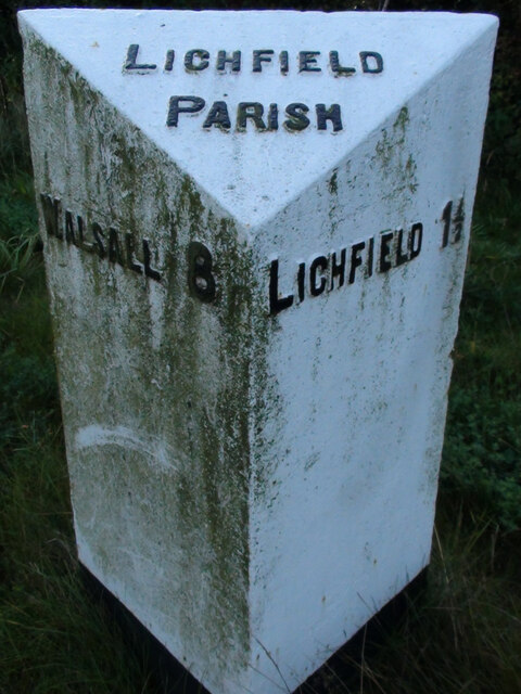
Sloppy Wood is located at Grid Ref: SK1009 (Lat: 52.680118, Lng: -1.8520885)

Administrative County: Staffordshire

District: Lichfield

Police Authority: Staffordshire

What 3 Words

///vines.little.figure. Near Lichfield, Staffordshire

Related Wikis

Maple Hayes

Maple Hayes is late 18th century manor house, now occupied by a special needs school, near Lichfield, Staffordshire. It is a Grade II listed building....

Christ Church, Lichfield

Christ Church is a parish church in Lichfield, Staffordshire in the United Kingdom. The church is situated in Leamonsley in the south west area of the...

Beacon Park

Beacon Park is a public park in the centre of the city of Lichfield, Staffordshire, in the United Kingdom. The park was created in 1859 when the Museum...

Lichfield Clock Tower

Lichfield Clock Tower or Friary Clock Tower is a 19th-century Grade II listed clock tower located on "The Friary" south of Festival Gardens in the city...

Sandfields Pumping Station

Sandfields Pumping Station is a disused pumping station in Lichfield, in Staffordshire, England. The engine house was built in 1873 and contains the original...

Pipehill

Pipehill is a hamlet and former civil parish, now in the parish of Hammerwich, in the Lichfield district, in the county of Staffordshire, England. It is...

Erasmus Darwin House

Erasmus Darwin House in Lichfield, Staffordshire is the former home of the English poet and physician Erasmus Darwin, grandfather of naturalist Charles...

Lichfield Cathedral School

Lichfield Cathedral School is a private day school in the city of Lichfield, Staffordshire, England. It traces its lineage to the 14th century when Lichfield...

Nearby Amenities

Located within 500m of 52.680118,-1.8520885
Crossing
Crossing: traffic_signals
Crossing Ref: pelican
Lat/Long: 52.6779091/-1.8462569
Power: substation
Ref: 9413
Lat/Long: 52.6802452/-1.8455494
Bus Stop
Sorrel Close
Bus: yes
Naptan AtcoCode: 3800C409401
Naptan Bearing: NE
Naptan CommonName: Sorrel Close
Naptan Indicator: Adj
Naptan Landmark: Sorrel Close
Naptan PlusbusZoneRef: LCHC
Naptan Street: Walsall Road
Naptan Verified: no
Public Transport: platform
Source: naptan_import
Lat/Long: 52.6770926/-1.8496525
Bus Stop
Sorrel Close
Bus: yes
Naptan AtcoCode: 3800C409402
Naptan Bearing: SW
Naptan CommonName: Sorrel Close
Naptan Indicator: Opp
Naptan Landmark: Sorrel Close
Naptan PlusbusZoneRef: LCHC
Naptan Street: Walsall Road
Naptan Verified: no
Public Transport: platform
Source: naptan_import
Lat/Long: 52.6770116/-1.8495789
Bus Stop
Christchurch Lane
Bus: yes
Naptan AtcoCode: 3800C432601
Naptan Bearing: SW
Naptan CommonName: Christchurch Lane
Naptan Indicator: Opp
Naptan Landmark: Christchurch Ln (W)
Naptan PlusbusZoneRef: LCHC
Naptan Street: Walsall Rd
Naptan Verified: no
Public Transport: platform
Source: naptan_import
Lat/Long: 52.6779687/-1.8458187
Mini Roundabout
Lat/Long: 52.6774235/-1.8477613
Bench
Backrest: no
Material: stone
Lat/Long: 52.6838017/-1.8530686
The data included in this document is from www.openstreetmap.org. The data is made available under ODbL.

Have you been to Sloppy Wood?

Leave your review of Sloppy Wood below (or comments, questions and feedback).