Leob

Settlement in Argyllshire

Scotland

Leob

The Road to Knockan, Ross of Mull The unclassified road to the hamlet of Knockan just north of its junction with the A849.
The Road to Knockan, Ross of Mull Credit: JaneMcArtney

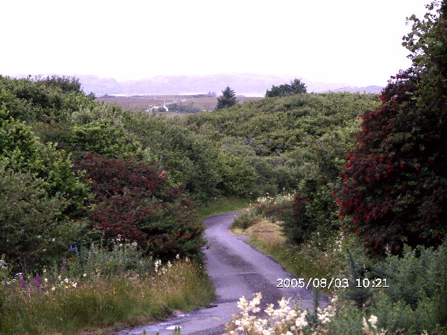
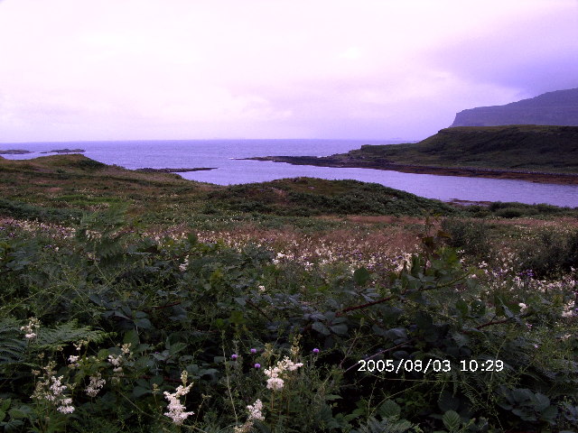
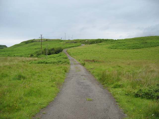
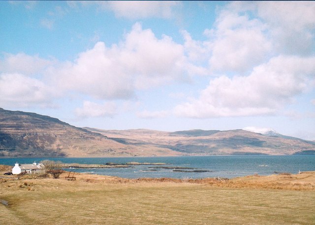
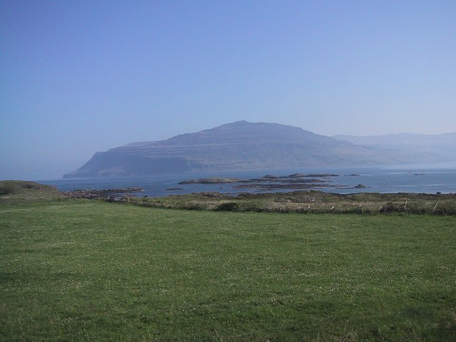
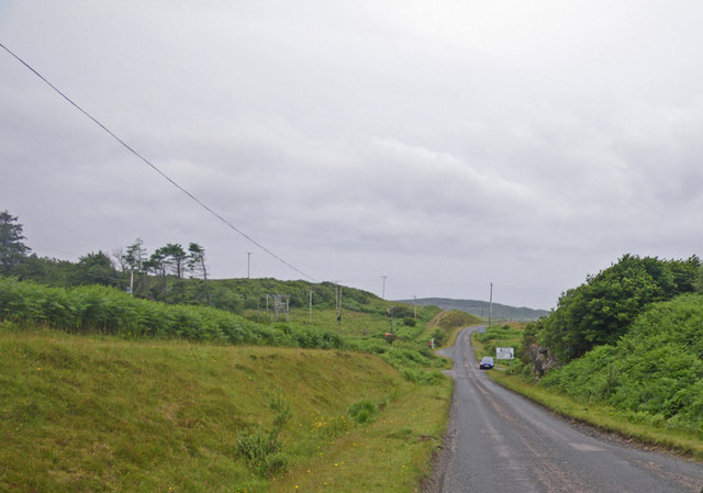
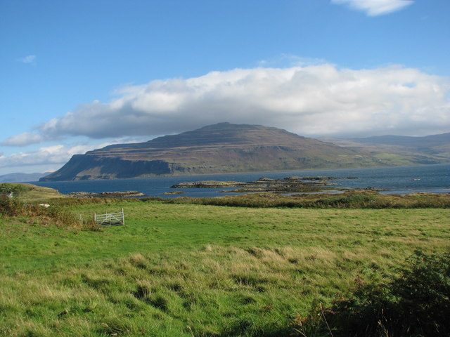
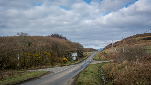
Leob is a small village located in the county of Argyllshire in Scotland, United Kingdom. Situated on the west coast of Scotland, Leob is known for its picturesque surroundings and tranquil atmosphere. The village is nestled amidst the stunning landscapes of the Scottish Highlands, with rolling hills and lush greenery dominating the area.

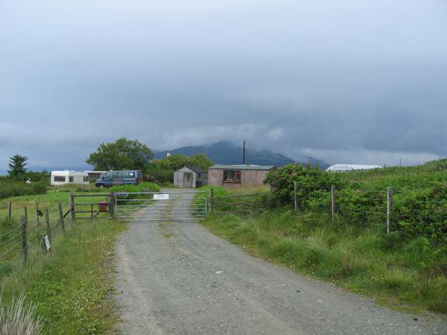
Leob is home to a close-knit community, with a population of approximately 200 residents. The village offers a peaceful and idyllic lifestyle, attracting those seeking a retreat from the bustling cities. The locals are known for their warmth and friendly nature, creating a welcoming environment for visitors.

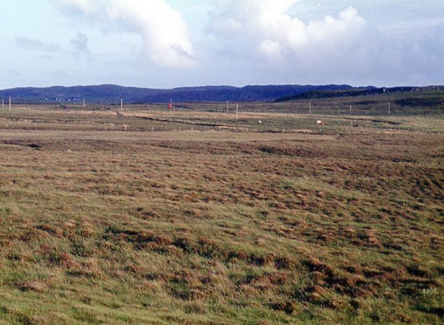
The village is surrounded by natural beauty, making it a popular destination for outdoor enthusiasts. The area is renowned for its hiking trails, offering breathtaking views of the surrounding mountains and lochs. The nearby Loch Leob provides opportunities for fishing and boating activities, further enhancing the recreational options available in the village.

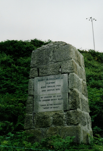
Leob boasts a rich history, with evidence of settlements dating back to ancient times. The village is home to several historical landmarks, including Leob Castle, a medieval fortress that attracts history buffs and architecture enthusiasts.

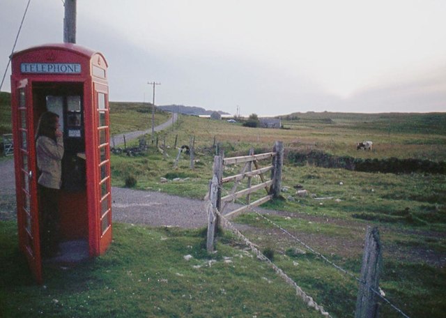
Despite its small size, Leob offers essential amenities for its residents, including a village shop, post office, and a local pub. For additional services and facilities, residents can access the nearby town of Oban, which is approximately 20 miles away.

Overall, Leob is a charming village that provides a peaceful retreat for its residents and visitors, with its stunning natural landscapes and rich history.

If you have any feedback on the listing, please let us know in the comments section below.

Leob Images

Images are sourced within 2km of 56.332112/-6.1848064 or Grid Reference NM4123. Thanks to Geograph Open Source API. All images are credited.

The Road to Knockan, Ross of Mull The unclassified road to the hamlet of Knockan just north of its junction with the A849.
The Road to Knockan, Ross of Mull
The unclassified road to the hamlet of Knockan just north of its junction with the A849.
Loch na Corrobha, Ross of Mull A small sea loch Taken from the A849, the single track road, across the Ross of Mull.
Loch na Corrobha, Ross of Mull
A small sea loch Taken from the A849, the single track road, across the Ross of Mull.
Not the Rabbit Farm This is marked on the OS as a rabbit farm. It was once a combination of tourist attraction and angora production - but no longer.
Not the Rabbit Farm
This is marked on the OS as a rabbit farm. It was once a combination of tourist attraction and angora production - but no longer.
Track to Ardchrishnish
Coastal scene, Knockan, Mull Looking across croft land at Knockan towards Loch Scridain.
Coastal scene, Knockan, Mull
Looking across croft land at Knockan towards Loch Scridain.
Monument to Mary MacDonald Mary MacDonald wrote the Gaelic words to a hymn, which became an English favourite ("Child in a manger"). The tune was re-used for "Morning has broken" - probably the most famous Gaelic tune in the world now!  Beside the main road, near Ardtun where she died.
Monument to Mary MacDonald
Mary MacDonald wrote the Gaelic words to a hymn, which became an English favourite ("Child in a manger"). The tune was re-used for "Morning has broken" - probably the most famous Gaelic tune in the world now! Beside the main road, near Ardtun where she died.
Loch Scridain from Knockan
Dense wild roadside shrubbery along the main road of the Ross of Mull
Countryside along the main road on the Ross of Mull
Bracken choked expanse with Loch na Corrobha beyond Photographer is on top of the main road along the Ross of Mull. These bracken invasions are the consequence of centuries of man's disturbance to the island, including the cycle of deforestation, livestock introduction and livestock reduction.
Bracken choked expanse with Loch na Corrobha beyond
Photographer is on top of the main road along the Ross of Mull. These bracken invasions are the consequence of centuries of man's disturbance to the island, including the cycle of deforestation, livestock introduction and livestock reduction.
Looking up the densely vegetated slopes and at outcrops of Capull Corrach
The Berg from Knockan
Loch an Arm, Isle of Mull Sometimes called Loch Arm or Loch nan Arm, this small loch lies in the hills a little north-east of Loch Assapol.  A small burn at its northern end runs down into Bun an Leoib (56°20'N., 6°11'W.), a bay 1.5 miles E of Ard Tun.
Loch an Arm, Isle of Mull
Sometimes called Loch Arm or Loch nan Arm, this small loch lies in the hills a little north-east of Loch Assapol. A small burn at its northern end runs down into Bun an Leoib (56°20'N., 6°11'W.), a bay 1.5 miles E of Ard Tun.
Phone box at Ardtun
Phone box at Ardtun
Moor at Faoileann
Moor at Faoileann
Left for Knockan, right for Lee
Fence posts on the boggy moorland at Airig a' Bhreac Laoigh
Unnamed hill loch on the moorland
Show me another place!

Leob is located at Grid Ref: NM4123 (Lat: 56.332112, Lng: -6.1848064)

Unitary Authority: Argyll and Bute

Police Authority: Argyll and West Dunbartonshire

What 3 Words

///landowner.beards.engage. Near Fionnphort, Argyll & Bute

Related Wikis

Knockan

Knockan (Scottish Gaelic: An Cnocan) is a township of six crofts in the community of Ardtun, in the south of the Isle of Mull off the west coast of Scotland...

Ardtun

Ardtun (Scottish Gaelic: Àird Tunna) is a settlement on the Isle of Mull, in Argyll and Bute, Scotland. Ardtun is within the parish of Kilfinichen and...

Bunessan

Bunessan (Scottish Gaelic: Bun Easain) is a small village on the Ross of Mull in the south-west of the Isle of Mull, off the west coast of Scotland. The...

Suidhe

Suidhe (Scottish Gaelic: Suidhe) is a ruined township located on the southwestern peninsula of the Isle of Mull, Scotland. It lies just over 1 km to the...

Related Videos

Demonic attacks during prayer. What the Fathers teach us about fighting against them.

Temptations against prayer will come from the devil, from the world and from our own passions. Prayer by night is a spiritual ...

A personal message, on a personal occasion

The purpose of these videos from Mull Monastery is to keep us close to one another as we navigate this very difficult time.

Nearby Amenities

Located within 500m of 56.332112,-6.1848064
Dun na Muirgheigh
Historic: archaeological_site
Lat/Long: 56.3341032/-6.1874155
Loch na Corrobha
Natural: bay
Lat/Long: 56.3350932/-6.1839364
Power: pole
Lat/Long: 56.3321817/-6.1785808
Power: pole
Lat/Long: 56.3318567/-6.1802035
Power: pole
Lat/Long: 56.3315657/-6.1816503
Power: pole
Lat/Long: 56.3312156/-6.1834302
Power: pole
Lat/Long: 56.3308325/-6.1861986
Power: pole
Lat/Long: 56.3306533/-6.186967
Power: pole
Lat/Long: 56.3302258/-6.1881821
Power: pole
Lat/Long: 56.3305678/-6.1911097
Power: pole
Lat/Long: 56.3304749/-6.1922912
Leisure: garden
Lat/Long: 56.3323925/-6.1850827
Power: pole
Lat/Long: 56.331856/-6.1854872
Power: pole
Lat/Long: 56.3314904/-6.1850555
Power: pole
Lat/Long: 56.3310459/-6.184528
Power: pole
Lat/Long: 56.3324208/-6.1773717
Power: pole
Lat/Long: 56.3313308/-6.1828446
The data included in this document is from www.openstreetmap.org. The data is made available under ODbL.

Have you been to Leob?

Leave your review of Leob below (or comments, questions and feedback).