Langley
Settlement in Yorkshire
England
Langley
Langley is a picturesque village located in the county of Yorkshire, England. Situated in the heart of the Yorkshire Dales, Langley is known for its stunning natural beauty and charming rural atmosphere. The village is nestled amidst rolling hills and surrounded by lush green fields, providing a tranquil and idyllic setting for residents and visitors alike.
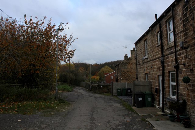
The village itself is small but boasts a tight-knit community and a rich history. It is home to a handful of traditional stone-built houses, giving it a quintessential English village feel. Langley also features a quaint parish church, which dates back several centuries and is a prominent landmark in the area.
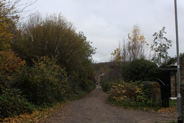
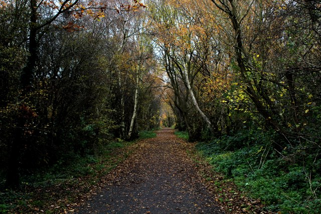
For those who enjoy exploring the great outdoors, Langley offers an abundance of scenic walking and hiking trails. The nearby Yorkshire Dales National Park provides opportunities to discover breathtaking landscapes, including waterfalls, limestone formations, and panoramic views.
Langley is conveniently located near other popular tourist destinations, such as the market town of Skipton and the historic city of York. Both offer a range of amenities, including shops, restaurants, and cultural attractions.
The village hosts several annual events, including a summer fete and a Christmas market, which further enhance its sense of community and charm.
Overall, Langley, Yorkshire, is a hidden gem that showcases the natural beauty and warmth of rural England. It offers a peaceful retreat for nature lovers and a welcoming home for those seeking a close-knit community in a picturesque setting.
If you have any feedback on the listing, please let us know in the comments section below.
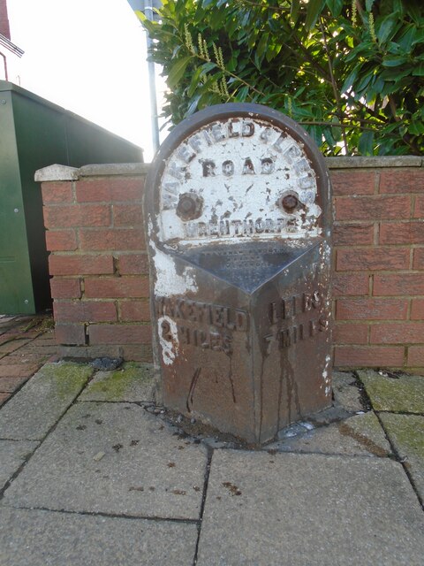
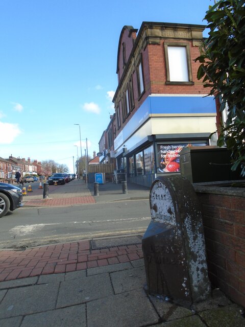
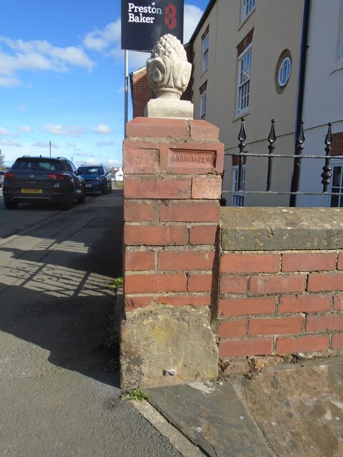
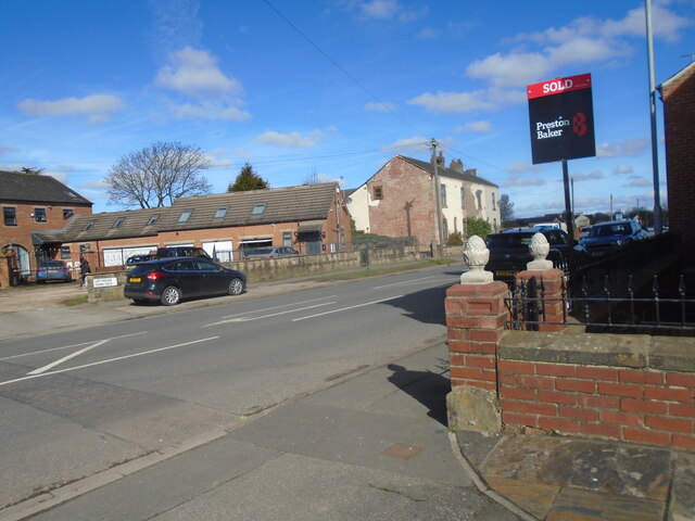
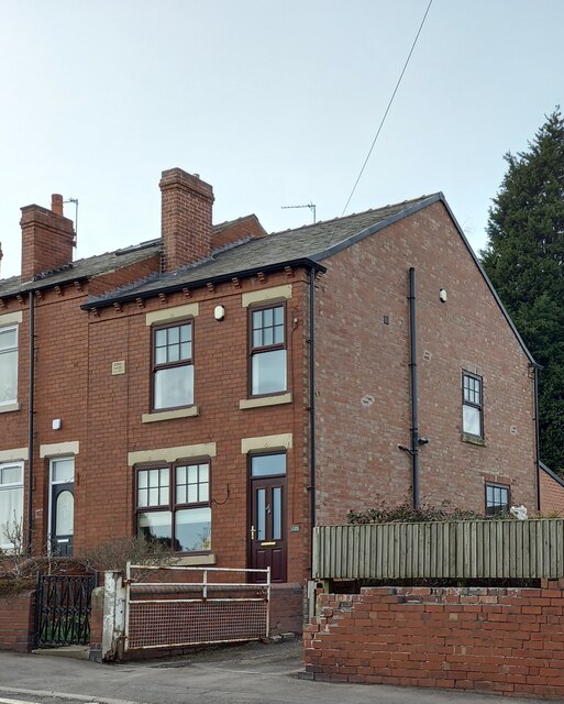
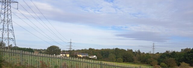
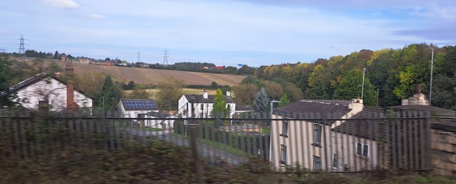
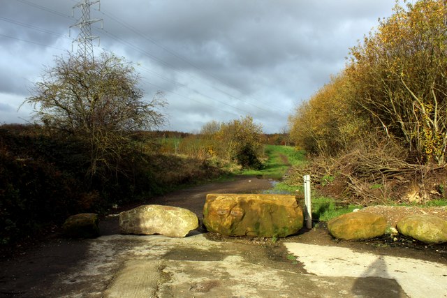
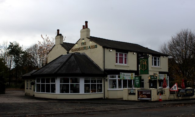
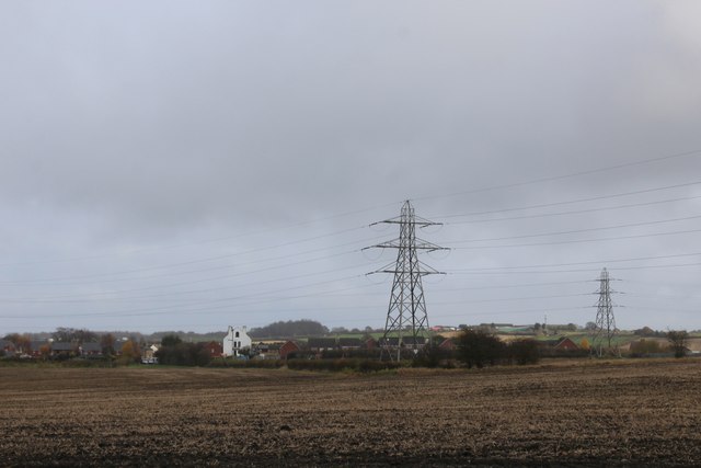
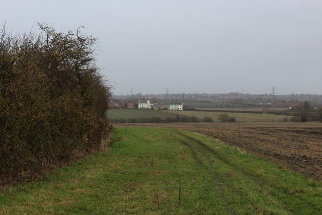
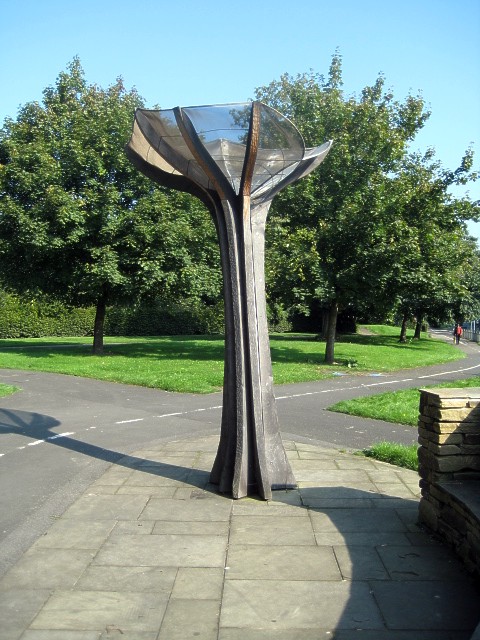
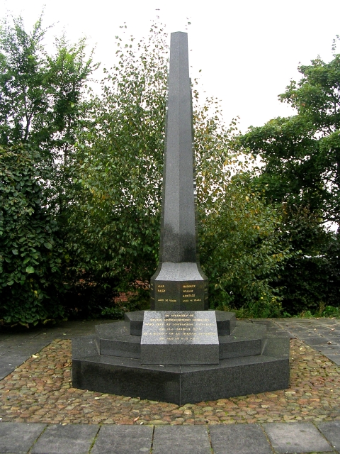
Langley Images
Images are sourced within 2km of 53.725973/-1.4996973 or Grid Reference SE3325. Thanks to Geograph Open Source API. All images are credited.
Langley is located at Grid Ref: SE3325 (Lat: 53.725973, Lng: -1.4996973)
Division: West Riding
Unitary Authority: Leeds
Police Authority: West Yorkshire
What 3 Words
///spout.wider.lands. Near Lofthouse, West Yorkshire
Nearby Locations
Related Wikis

Lofthouse, West Yorkshire
Lofthouse is a village between the cities of Wakefield and Leeds in West Yorkshire, England. The village falls within the Ardsley and Robin Hood ward of...
Rhubarb Triangle
The Rhubarb Triangle is a 9-square-mile (23 km2) area of West Yorkshire, England between Wakefield, Morley, and Rothwell famous for producing early forced...

Robin Hood, West Yorkshire
Robin Hood is a village in the City of Leeds in West Yorkshire, England. It is close to the City of Wakefield boundary and is situated between Leeds and...

The Rodillian Academy
The Rodillian Academy (formerly Rodillian School) is a mixed secondary School and sixth form with academy status located in Lofthouse, West Yorkshire,...
Lofthouse Colliery disaster
The Lofthouse Colliery disaster was a mining accident in the West Riding of Yorkshire, England, on Wednesday 21 March 1973, in which seven mine workers...
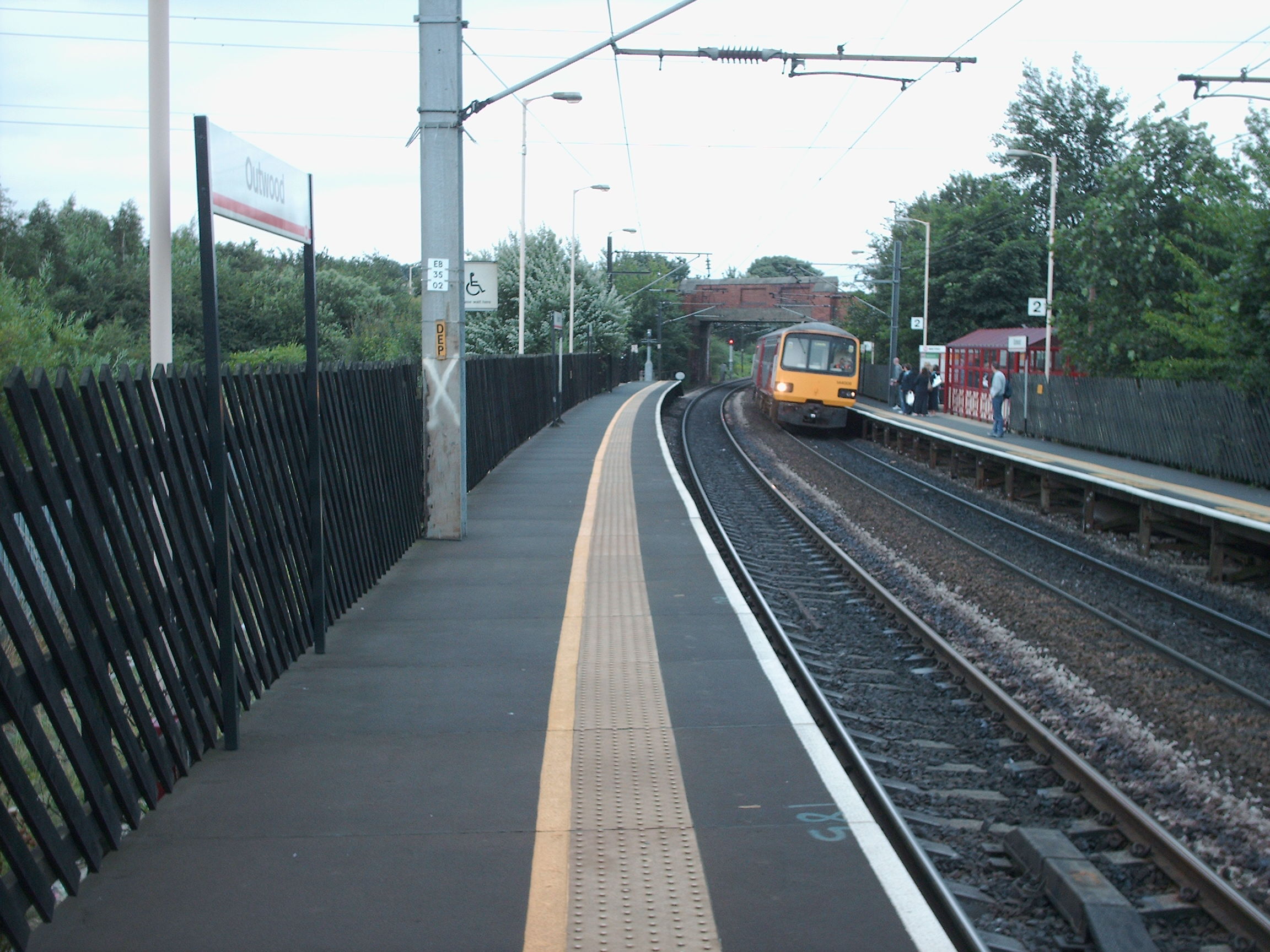
Outwood railway station
Outwood railway station is situated in the Outwood district of Wakefield in West Yorkshire, England. Outwood is the first stop on the Wakefield Line 7...
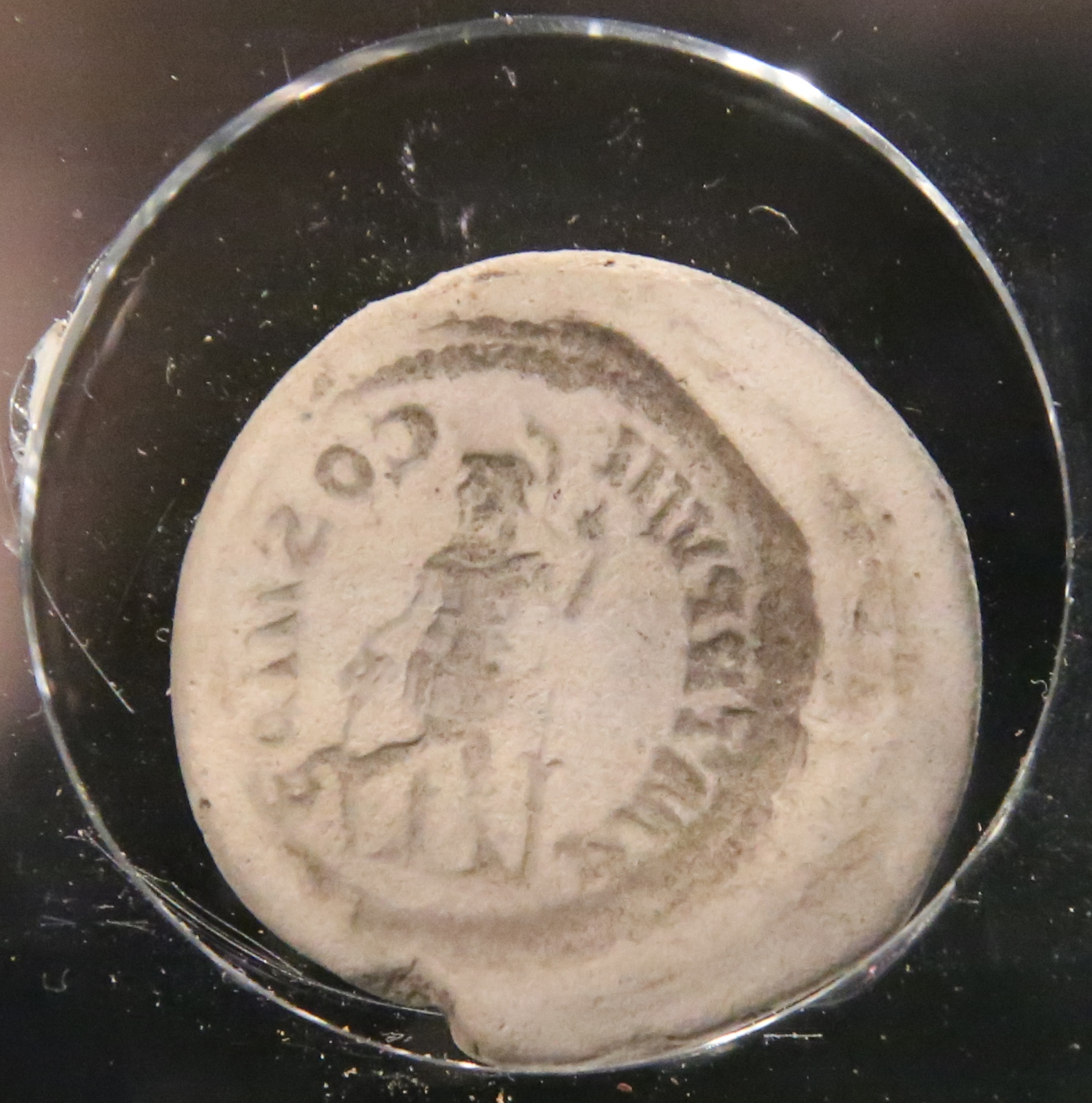
Lingwell Gate coin moulds
The Lingwell Gate coin moulds are a group of Roman, clay coin moulds used in the forgery of coinage found at Lingwell Gate between 1697 and 1879. As of...
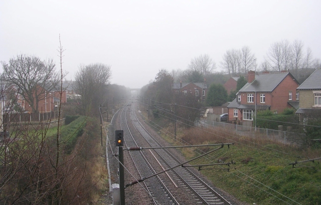
Lofthouse and Outwood railway station
Lofthouse and Outwood railway station served the Outwood area of Wakefield, West Yorkshire, England. It was opened by the Methley Joint Railway in 1869...
Nearby Amenities
Located within 500m of 53.725973,-1.4996973Have you been to Langley?
Leave your review of Langley below (or comments, questions and feedback).