Lofthouse Hill
Hill, Mountain in Yorkshire
England
Lofthouse Hill
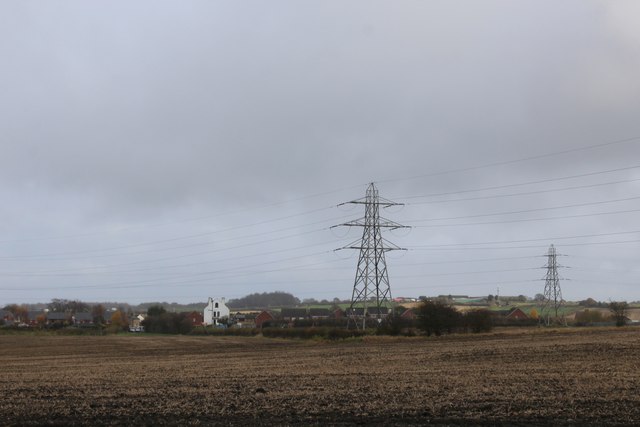
Lofthouse Hill, located in the heart of Yorkshire, England, is a prominent hill that sits within the Nidderdale Area of Outstanding Natural Beauty. Rising to an elevation of approximately 400 meters (1,312 feet), it offers breathtaking panoramic views of the surrounding landscape.
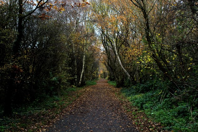
Cloaked in lush greenery, Lofthouse Hill is a haven for nature enthusiasts and hikers seeking an escape from the bustling city life. The hill is dotted with an array of vibrant wildflowers, including bluebells and primroses, which paint the landscape with a kaleidoscope of colors during the springtime.
The ascent to the summit of Lofthouse Hill is relatively gentle, making it accessible to individuals of varying fitness levels. A well-maintained footpath meanders through the hill, guiding visitors through its undulating terrain. Along the way, one can expect to encounter grazing sheep and perhaps catch a glimpse of the occasional hare darting through the fields.
From the top of Lofthouse Hill, one is rewarded with sweeping vistas of the picturesque Yorkshire Dales. The rolling hills, crisscrossed by ancient dry stone walls, create a patchwork of fields and meadows that stretch as far as the eye can see. On a clear day, it is even possible to spot the distant peaks of the Yorkshire Three Peaks – Pen-y-ghent, Ingleborough, and Whernside.
Lofthouse Hill is not only a natural wonder but also a historical gem. At its base lies the charming village of Lofthouse, which dates back to the medieval period. The village is home to several well-preserved traditional stone cottages, a quaint church, and a welcoming local pub, where visitors can relax and soak in the rural ambiance.
In conclusion, Lofthouse Hill in Yorkshire is a captivating destination that combines natural beauty, captivating views, and a touch of history. Whether it's a leisurely stroll or an invigorating hike, this hill offers an
If you have any feedback on the listing, please let us know in the comments section below.
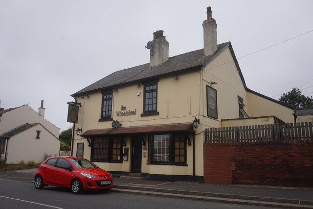
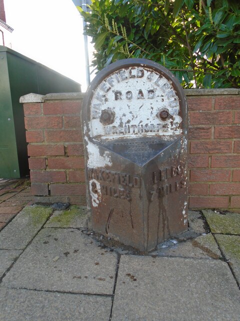
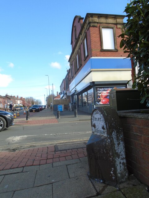
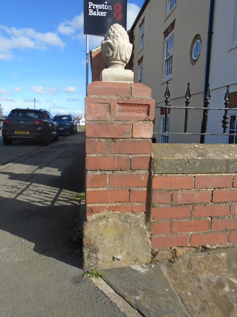
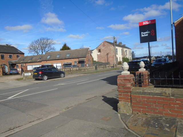
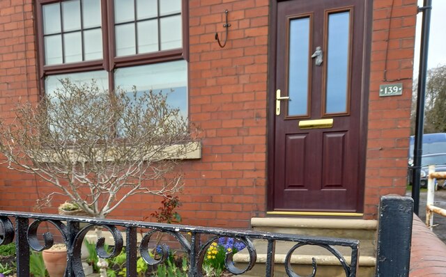
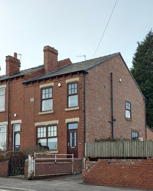
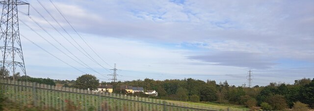
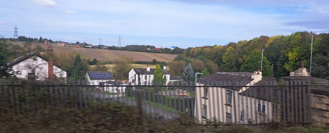
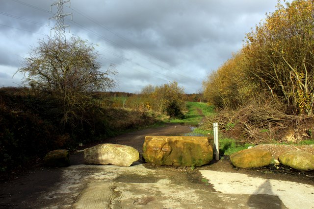
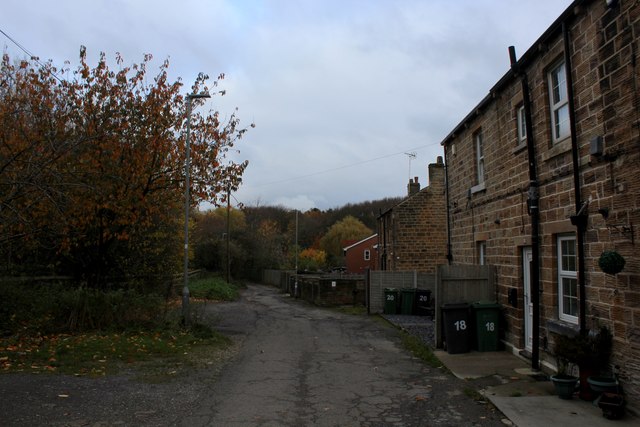
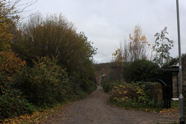
Lofthouse Hill Images
Images are sourced within 2km of 53.723244/-1.500442 or Grid Reference SE3325. Thanks to Geograph Open Source API. All images are credited.
Lofthouse Hill is located at Grid Ref: SE3325 (Lat: 53.723244, Lng: -1.500442)
Division: West Riding
Unitary Authority: Wakefield
Police Authority: West Yorkshire
What 3 Words
///regime.poet.title. Near Lofthouse, West Yorkshire
Nearby Locations
Related Wikis

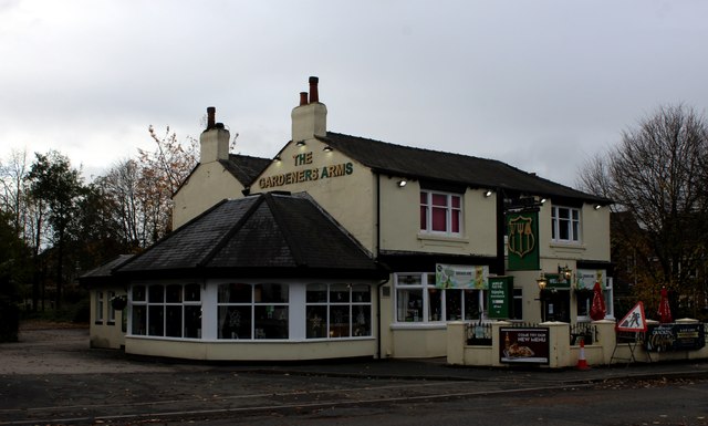
Lofthouse, West Yorkshire
Lofthouse is a village between the cities of Wakefield and Leeds in West Yorkshire, England. The village falls within the Ardsley and Robin Hood ward of...
Rhubarb Triangle
The Rhubarb Triangle is a 9-square-mile (23 km2) area of West Yorkshire, England between Wakefield, Morley, and Rothwell famous for producing early forced...

Robin Hood, West Yorkshire
Robin Hood is a village in the City of Leeds in West Yorkshire, England. It is close to the City of Wakefield boundary and is situated between Leeds and...

The Rodillian Academy
The Rodillian Academy (formerly Rodillian School) is a mixed secondary School and sixth form with academy status located in Lofthouse, West Yorkshire,...
Lofthouse Colliery disaster
The Lofthouse Colliery disaster was a mining accident in the West Riding of Yorkshire, England, on Wednesday 21 March 1973, in which seven mine workers...
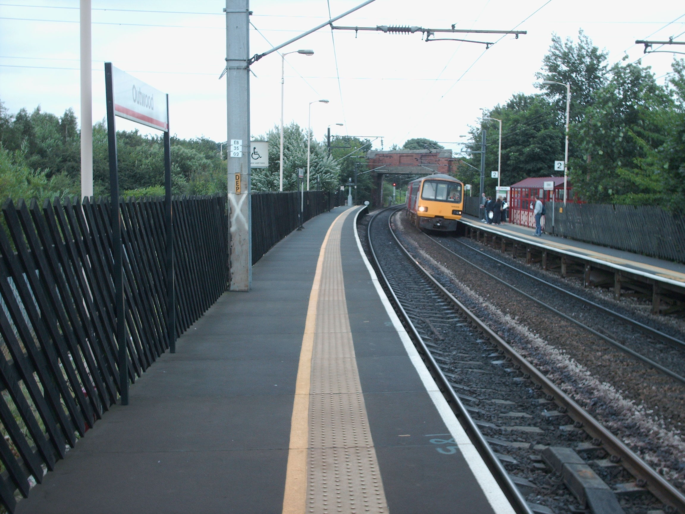
Outwood railway station
Outwood railway station is situated in the Outwood district of Wakefield in West Yorkshire, England. Outwood is the first stop on the Wakefield Line 7...
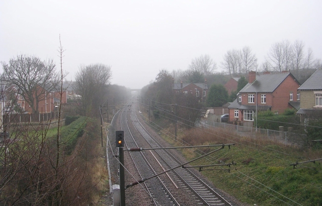
Lofthouse and Outwood railway station
Lofthouse and Outwood railway station served the Outwood area of Wakefield, West Yorkshire, England. It was opened by the Methley Joint Railway in 1869...

Outwood, Wakefield
Outwood is a district to the north of Wakefield in West Yorkshire, England. The district is centred on the A61 Leeds Road south of Lofthouse. It grew up...
Nearby Amenities
Located within 500m of 53.723244,-1.500442Have you been to Lofthouse Hill?
Leave your review of Lofthouse Hill below (or comments, questions and feedback).