Lofthouse
Settlement in Yorkshire
England
Lofthouse
Lofthouse is a small village situated in the Nidderdale area of North Yorkshire, England. Located approximately 8 miles west of the market town of Harrogate, Lofthouse is nestled within the stunning landscapes of the Yorkshire Dales National Park. The village is set at an elevation of about 1,000 feet, offering breathtaking views of the surrounding moorlands and valleys.
With a population of around 200 residents, Lofthouse maintains a charming, close-knit community feel. The village is primarily residential, consisting of traditional stone-built houses and cottages that exude a rustic charm. Many of these properties date back several centuries, adding to the historical appeal of the area.
One of the notable features of Lofthouse is its proximity to the River Nidd, which flows through the village. This picturesque river, along with the nearby Scar House Reservoir, provides opportunities for outdoor activities such as fishing, walking, and birdwatching. The surrounding countryside also offers extensive hiking and cycling trails, attracting outdoor enthusiasts from near and far.
Lofthouse boasts a rich history, with evidence of human habitation in the area dating back to the Bronze Age. The village was historically known for lead mining and quarrying, industries that played a significant role in shaping the local economy. Today, Lofthouse is a peaceful retreat for those seeking tranquility and a connection with nature, while still offering easy access to nearby amenities and attractions.
If you have any feedback on the listing, please let us know in the comments section below.
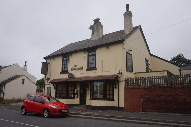
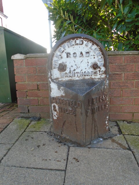
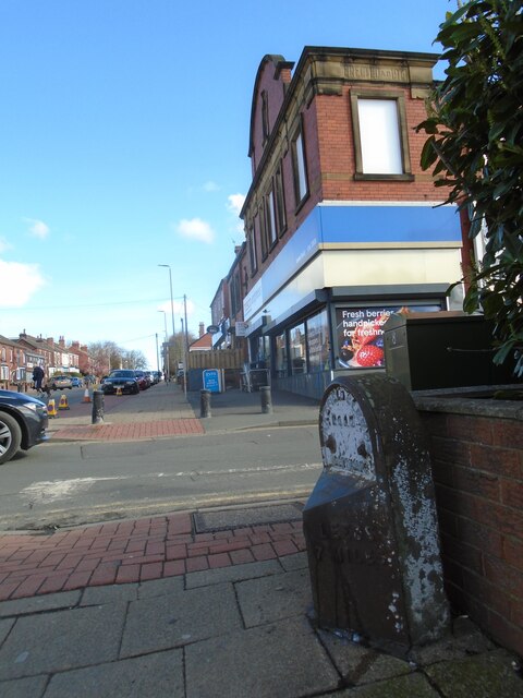
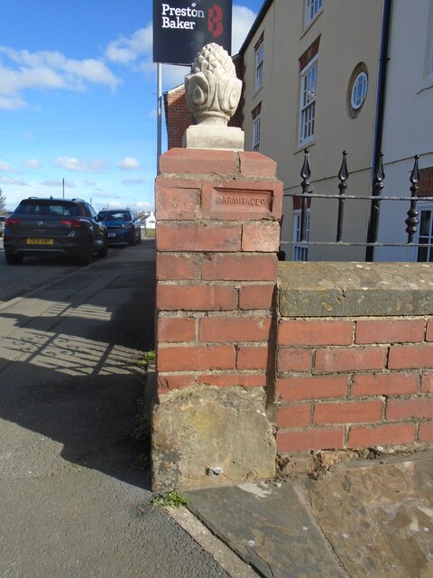
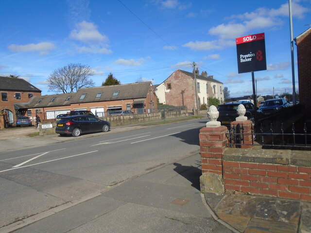
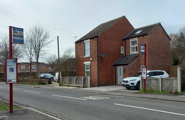
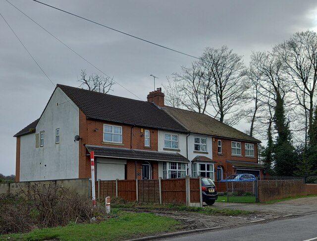
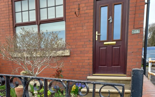
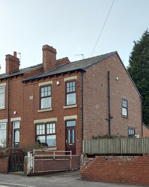
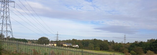
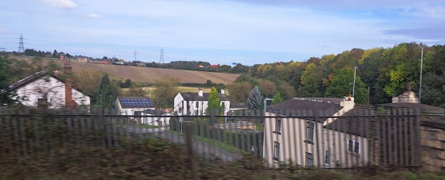
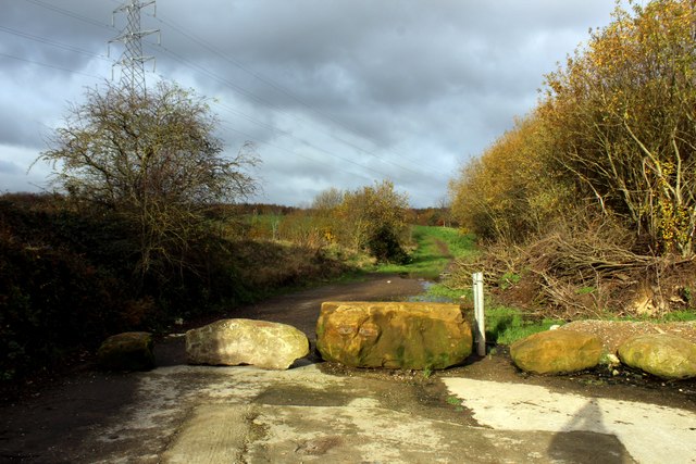
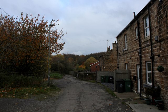
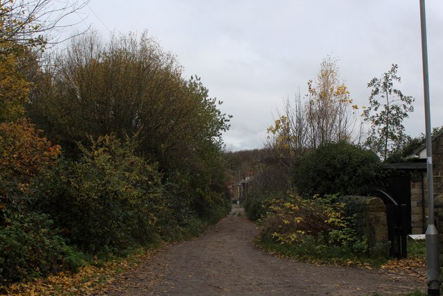
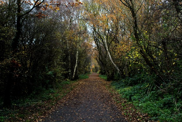
Lofthouse Images
Images are sourced within 2km of 53.724489/-1.498496 or Grid Reference SE3325. Thanks to Geograph Open Source API. All images are credited.
Lofthouse is located at Grid Ref: SE3325 (Lat: 53.724489, Lng: -1.498496)
Division: West Riding
Unitary Authority: Leeds
Police Authority: West Yorkshire
What 3 Words
///focal.swift.count. Near Lofthouse, West Yorkshire
Nearby Locations
Related Wikis

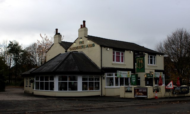
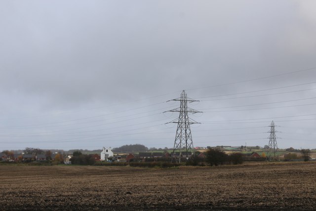
Lofthouse, West Yorkshire
Lofthouse is a village between the cities of Wakefield and Leeds in West Yorkshire, England. The village falls within the Ardsley and Robin Hood ward of...
Rhubarb Triangle
The Rhubarb Triangle is a 9-square-mile (23 km2) area of West Yorkshire, England between Wakefield, Morley, and Rothwell famous for producing early forced...

Robin Hood, West Yorkshire
Robin Hood is a village in the City of Leeds in West Yorkshire, England. It is close to the City of Wakefield boundary and is situated between Leeds and...

The Rodillian Academy
The Rodillian Academy (formerly Rodillian School) is a mixed secondary School and sixth form with academy status located in Lofthouse, West Yorkshire,...
Lofthouse Colliery disaster
The Lofthouse Colliery disaster was a mining accident in the West Riding of Yorkshire, England, on Wednesday 21 March 1973, in which seven mine workers...
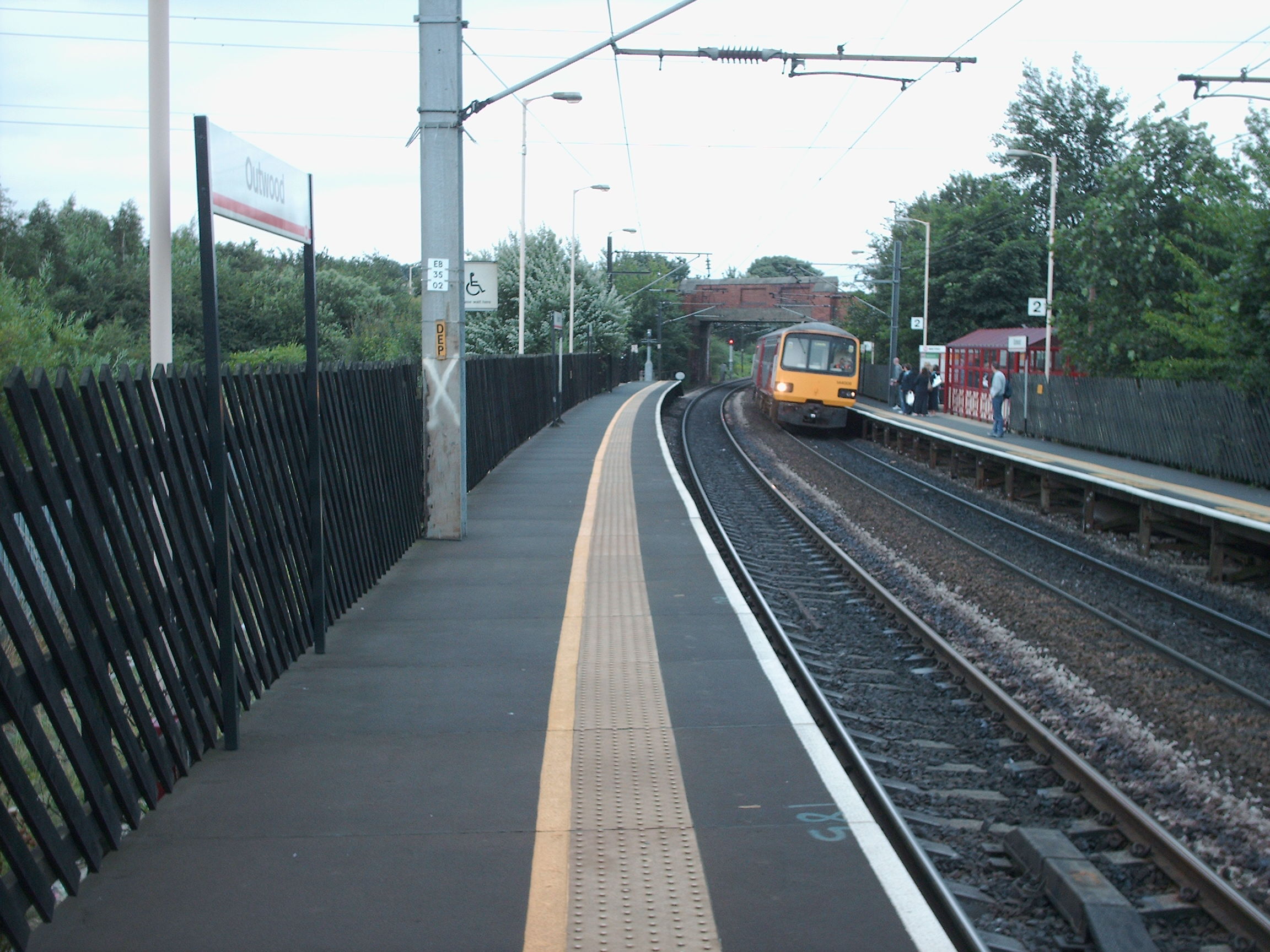
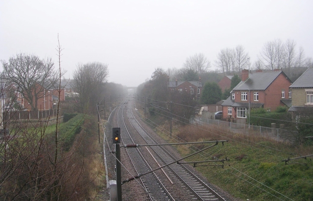
Outwood railway station
Outwood railway station is situated in the Outwood district of Wakefield in West Yorkshire, England. Outwood is the first stop on the Wakefield Line 7...

Outwood, Wakefield
Outwood is a district to the north of Wakefield in West Yorkshire, England. The district is centred on the A61 Leeds Road south of Lofthouse. It grew up...
Lofthouse and Outwood railway station
Lofthouse and Outwood railway station served the Outwood area of Wakefield, West Yorkshire, England. It was opened by the Methley Joint Railway in 1869...
Nearby Amenities
Located within 500m of 53.724489,-1.498496Have you been to Lofthouse?
Leave your review of Lofthouse below (or comments, questions and feedback).