Kingson's Knowe
Settlement in Lanarkshire
Scotland
Kingson's Knowe
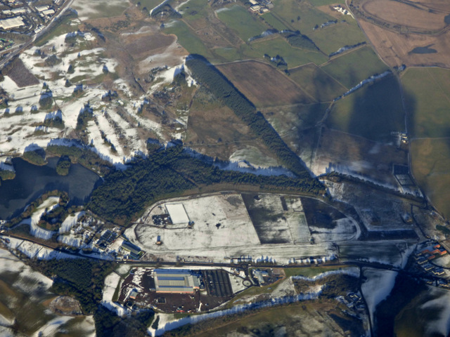
Kingson's Knowe is a small village located in the county of Lanarkshire, Scotland. Situated approximately 10 miles southwest of the city of Glasgow, this rural settlement is nestled amidst picturesque countryside and offers a tranquil escape from the hustle and bustle of city life.
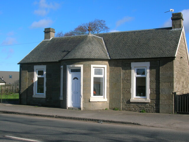
The village is characterized by its charming stone-built houses and cottages, which showcase traditional Scottish architecture. The streets are lined with well-maintained gardens and trees, creating a pleasant and inviting atmosphere. Kingson's Knowe is known for its strong sense of community, with residents actively participating in local events and initiatives.
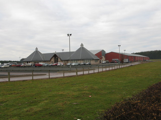
Despite its small size, the village boasts a range of amenities to cater to the needs of its inhabitants. These include a local convenience store, a post office, and a primary school, which provides education to the village's younger population. Additionally, Kingson's Knowe benefits from excellent transport links, with regular bus services connecting it to nearby towns and cities.
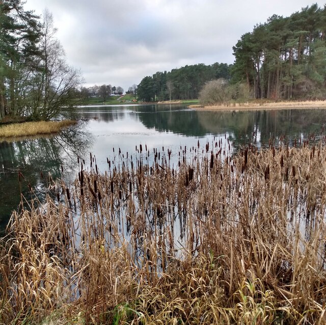
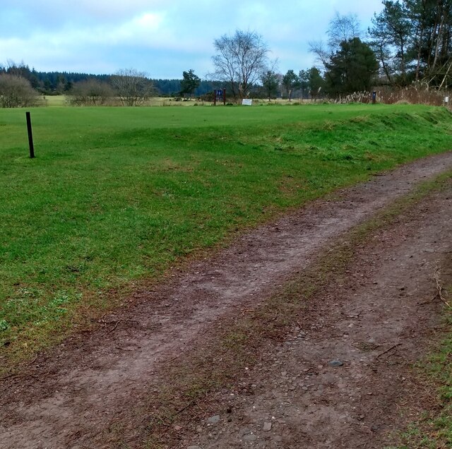
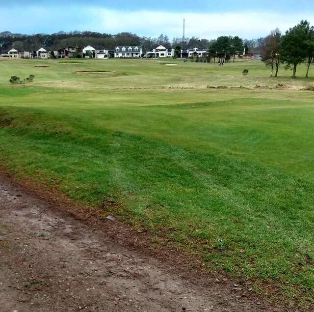
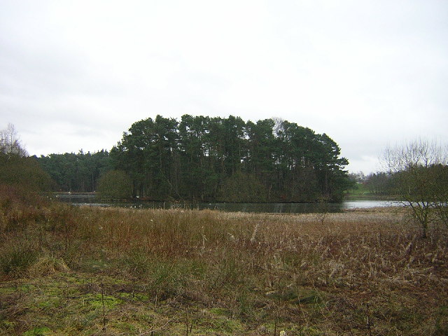
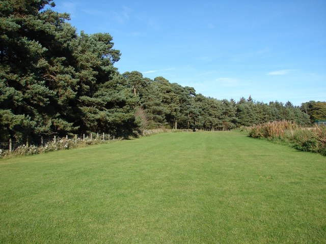
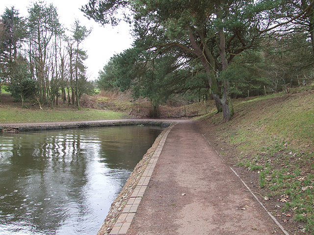
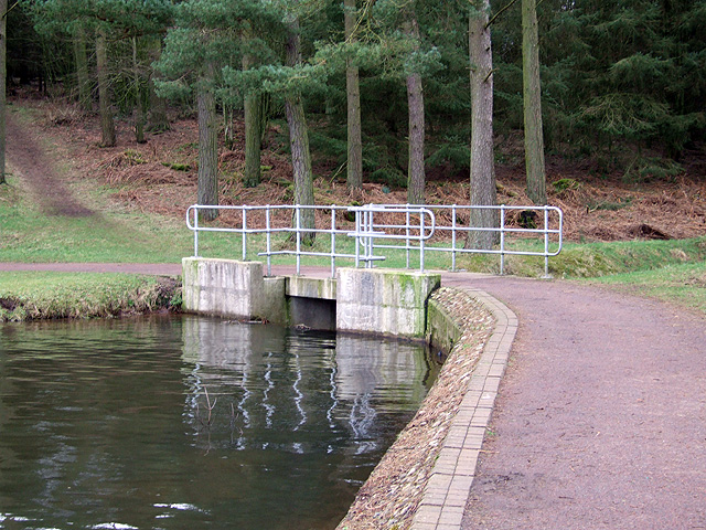
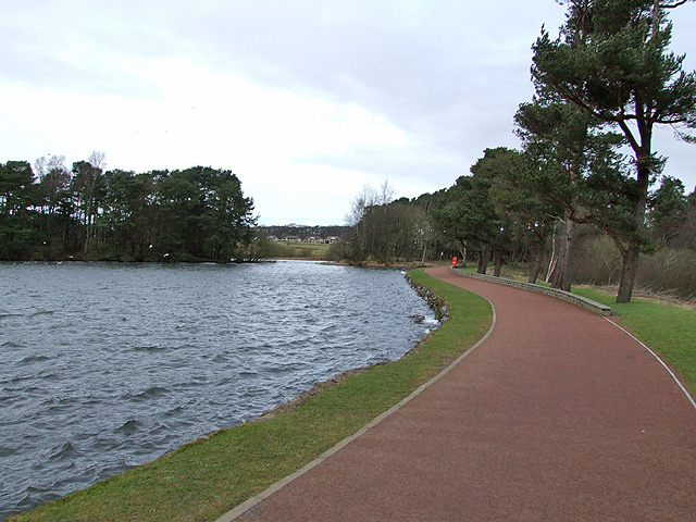
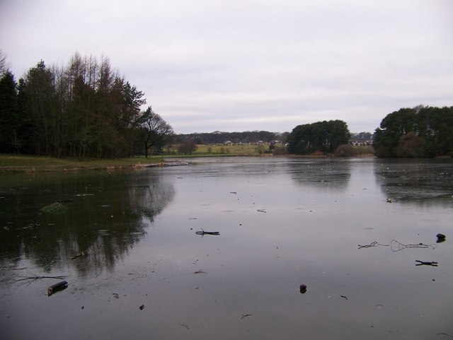
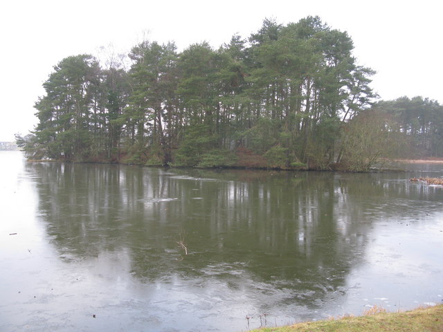
The surrounding countryside offers ample opportunities for outdoor activities such as hiking, cycling, and fishing, making it an ideal location for nature enthusiasts. The nearby Strathclyde Country Park provides a beautiful setting for leisurely walks and picnics, while the River Clyde offers a peaceful spot for angling.
In conclusion, Kingson's Knowe is a charming village in Lanarkshire, Scotland, offering a serene lifestyle in a picturesque setting. With its strong community spirit and range of amenities, it provides an ideal place to live for those seeking a rural escape while still being within easy reach of urban conveniences.
If you have any feedback on the listing, please let us know in the comments section below.
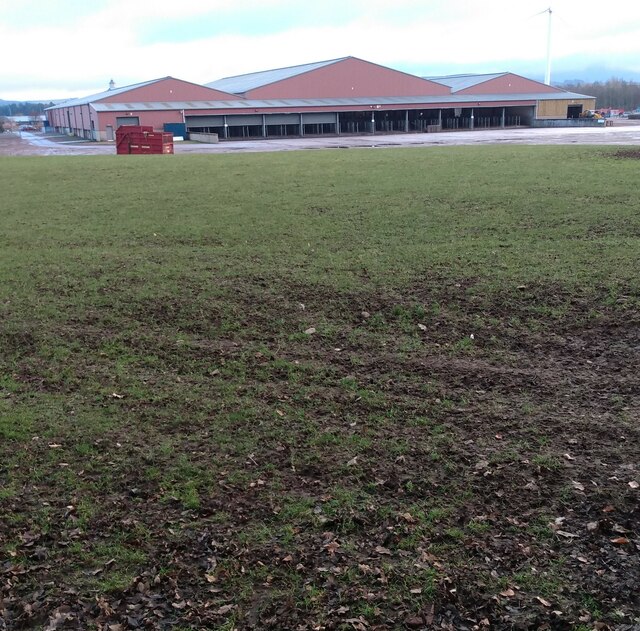
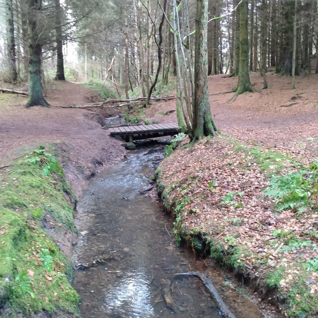
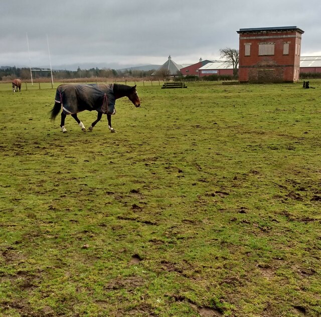
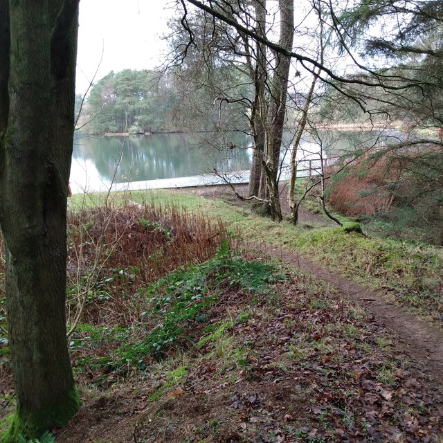
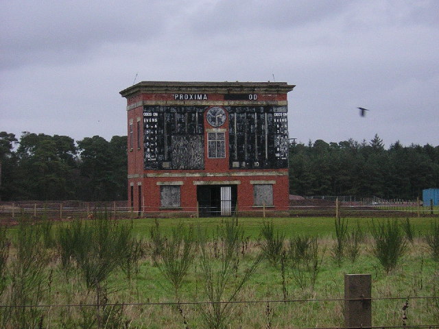
Kingson's Knowe Images
Images are sourced within 2km of 55.666004/-3.7750768 or Grid Reference NS8842. Thanks to Geograph Open Source API. All images are credited.
Kingson's Knowe is located at Grid Ref: NS8842 (Lat: 55.666004, Lng: -3.7750768)
Unitary Authority: South Lanarkshire
Police Authority: Lanarkshire
What 3 Words
///neutron.fenced.trackers. Near Lanark, South Lanarkshire
Nearby Locations
Related Wikis

Lanark Grammar School
Lanark Grammar School is a secondary school in Lanark, Scotland. It was founded in 1183, and celebrated its octocentenary in 1983, including a visit by...

St Kentigern's Church, Lanark (Hyndford Road)
St Kentigern's Church is a scheduled monument in Lanark, South Lanarkshire. Its churchyard and burial aisles are a category B listed building. It was previously...

St Mary's Roman Catholic Church, Lanark
St Mary's Church is a Roman Catholic church in Lanark, South Lanarkshire, Scotland. The church building and presbytery are Category A listed buildings...

New Lanark
New Lanark is a village on the River Clyde, approximately 1.4 miles (2.3 kilometres) from Lanark, in Lanarkshire, and some 25 miles (40 km) southeast of...
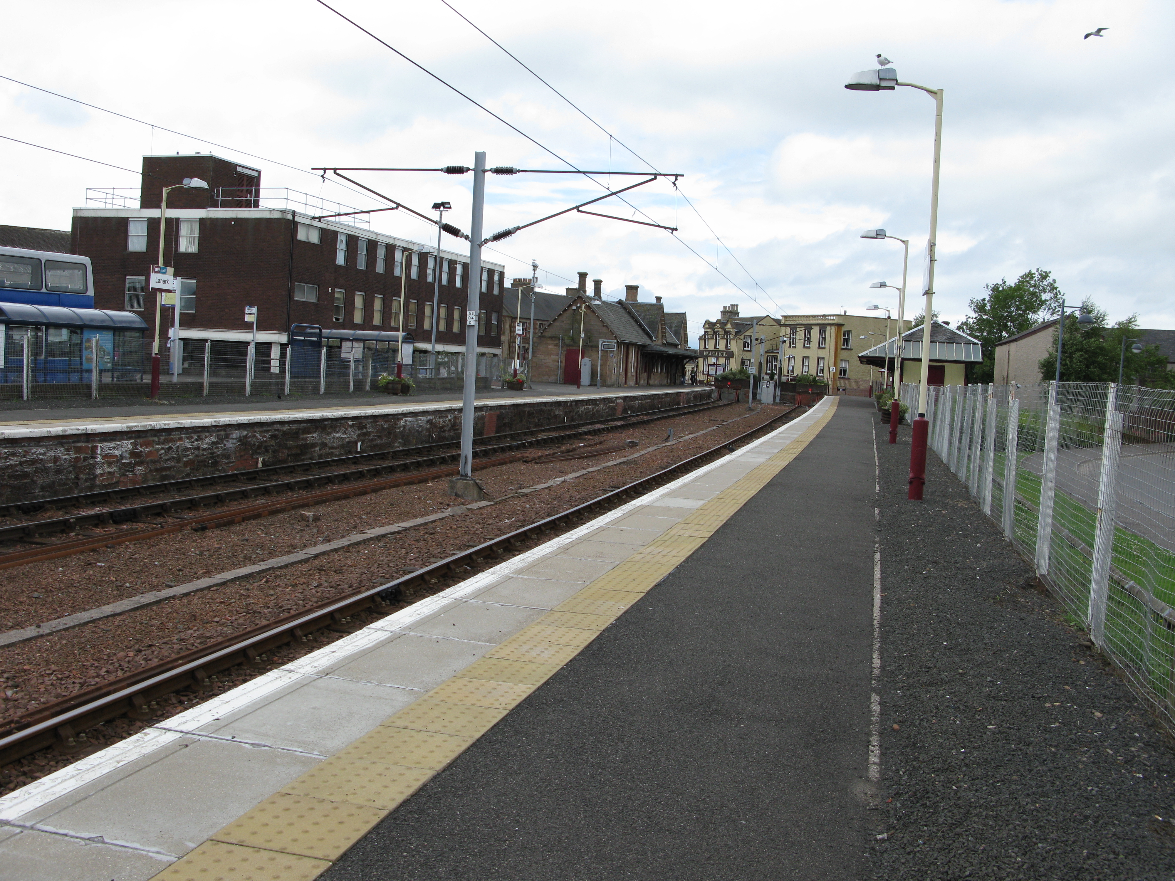
Lanark railway station
Lanark railway station, managed by ScotRail, is the southern terminus of the Argyle Line on Bannatyne Street, Lanark, South Lanarkshire, Scotland. The...

Broomgate drill hall, Lanark
The Broomgate drill hall is a former military installation in Lanark, Scotland. == History == The property comprises two houses, one built in the 17th...

Lanark Tolbooth
Lanark Tolbooth is a municipal building in Hope Street, Lanark, South Lanarkshire, Scotland. The building, which now operates as an arts and heritage centre...

St Nicholas Parish Church, Lanark
St Nicholas Parish Church is a category B listed building and Church of Scotland place of worship in the town centre of Lanark, South Lanarkshire, Scotland...
Nearby Amenities
Located within 500m of 55.666004,-3.7750768Have you been to Kingson's Knowe?
Leave your review of Kingson's Knowe below (or comments, questions and feedback).