Kingston

Settlement in Cornwall

England

Kingston

Junction with Stoke Road near Alren Farm
Junction with Stoke Road near Alren Farm Credit: David Smith

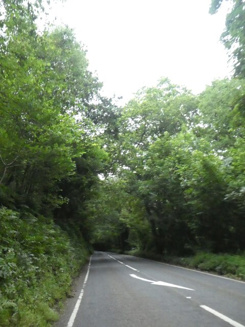
Kingston is a small village located in the county of Cornwall, England. Situated approximately 2 miles south of St Austell, it lies on the southern coast of the county, offering stunning views of the English Channel.

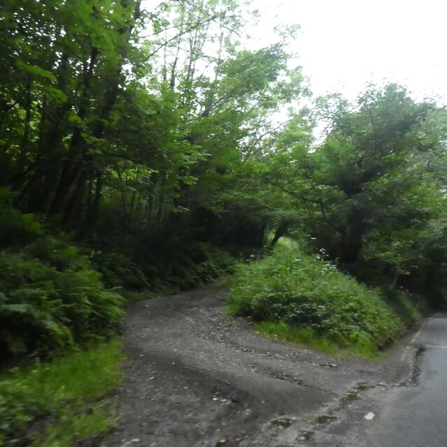
With a population of around 500 residents, Kingston is known for its peaceful and picturesque setting. The village is surrounded by lush green countryside and is blessed with a mild maritime climate, making it an appealing destination for nature lovers and outdoor enthusiasts.

One of the main attractions in Kingston is its beautiful sandy beach. The beach stretches for several miles and is popular among locals and tourists alike, especially during the summer months. Visitors can enjoy sunbathing, swimming, and various water sports activities such as surfing and sailing.

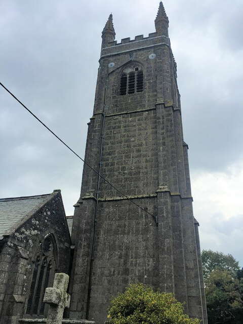
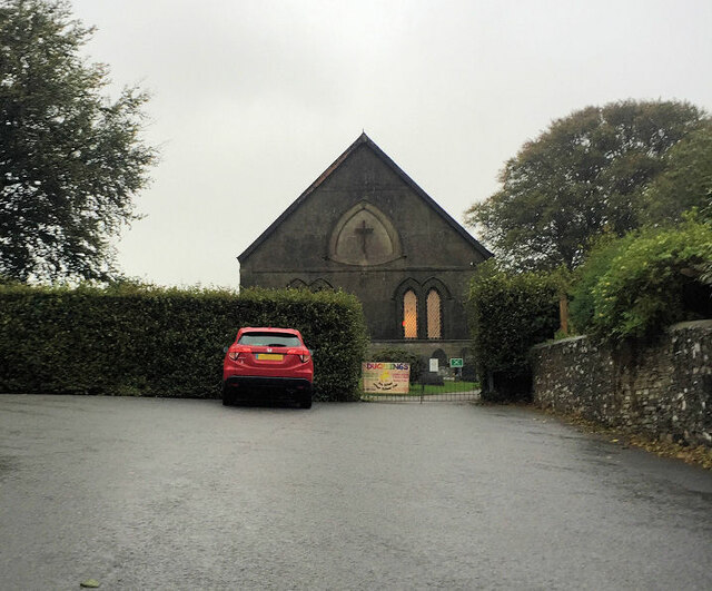
Kingston also boasts a rich history, with evidence of human habitation dating back to the Bronze Age. The village itself is home to several historic buildings, including a 13th-century church, which is a fine example of medieval architecture.

Despite its small size, Kingston offers a range of amenities to cater to both residents and visitors. There is a local pub and a handful of shops, providing essential services and a taste of local life. The village also serves as a base for exploring the nearby attractions, including the renowned Eden Project and the Lost Gardens of Heligan.

In summary, Kingston is a charming village in Cornwall, offering a peaceful and scenic coastal getaway. With its stunning beach, historic landmarks, and easy access to other attractions, it is a hidden gem worth exploring for those seeking a tranquil yet fascinating destination.

If you have any feedback on the listing, please let us know in the comments section below.
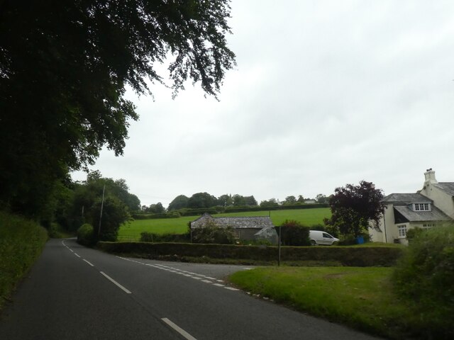
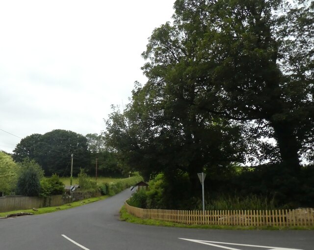
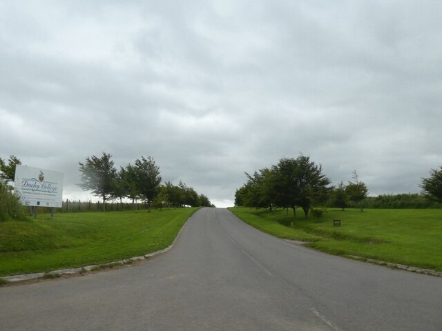
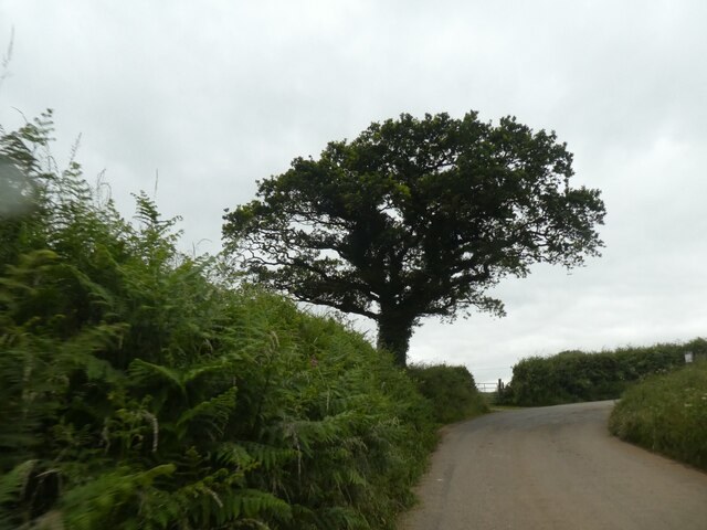
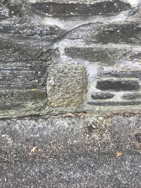
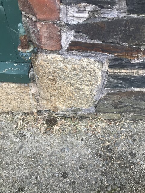
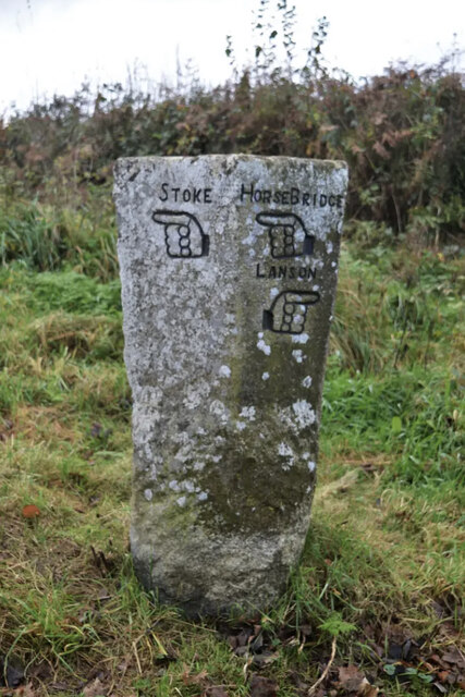
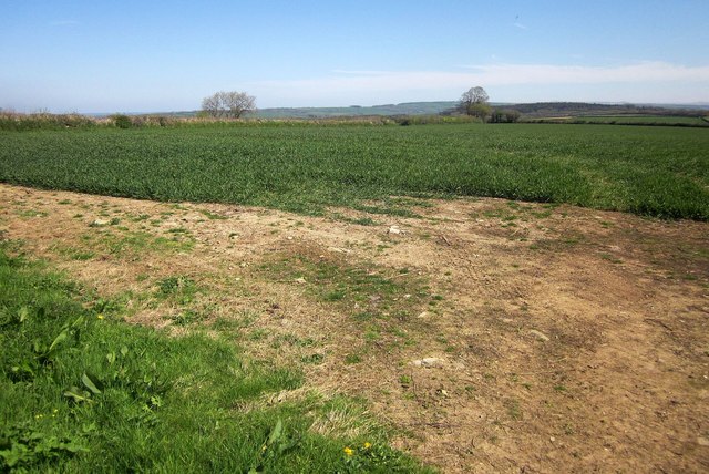
Kingston Images

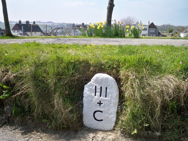
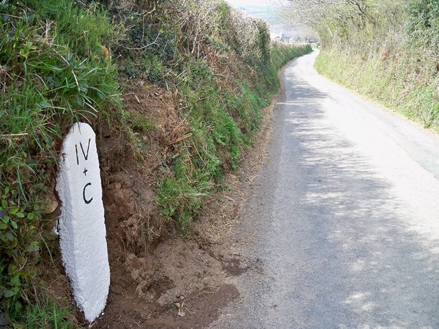
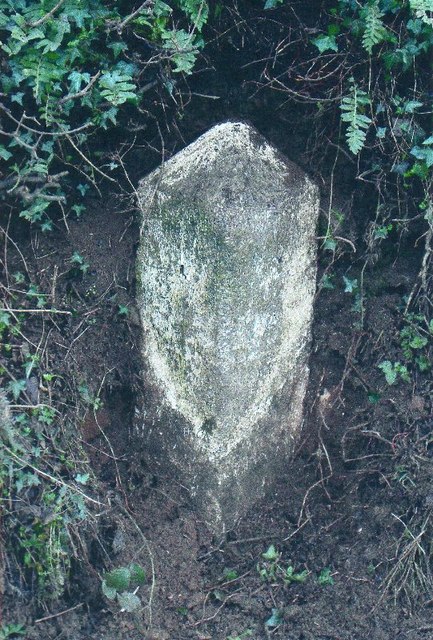
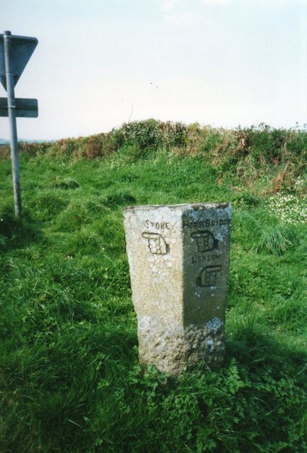
Images are sourced within 2km of 50.557864/-4.3138345 or Grid Reference SX3675. Thanks to Geograph Open Source API. All images are credited.

Junction with Stoke Road near Alren Farm
Derestriction signs on west of Stoke Climsland
Approach road to the Duchy College, Stoke Climsland
Tree on a bend in the road, west of Stoke Climsland
A388 in Sturts Wood
A388 in Sturts Wood
Track into Great Wood from A388
Stoke Climsland Church Tower
Stoke Climsland Methodist Church
Old Boundary Marker, Duchy College, Stoke Climsland Boundary Marker set in the wall of the quadrangle behind the Reception of Duchy College, Stoke Climsland. Stokeclimsland parish. Inscribed BS.

Milestone Society National ID: CW_STOKE03bm
Old Boundary Marker, Duchy College, Stoke Climsland
Boundary Marker set in the wall of the quadrangle behind the Reception of Duchy College, Stoke Climsland. Stokeclimsland parish. Inscribed BS. Milestone Society National ID: CW_STOKE03bm
Old Boundary Marker, Duchy College, Stoke Climsland Boundary Marker set in the wall beside a door in the quadrangle behind the Reception of Duchy College, Stoke Climsland. Stokeclimsland parish. Inscribed BS.

Milestone Society National ID: CW_STOKE04bm
Old Boundary Marker, Duchy College, Stoke Climsland
Boundary Marker set in the wall beside a door in the quadrangle behind the Reception of Duchy College, Stoke Climsland. Stokeclimsland parish. Inscribed BS. Milestone Society National ID: CW_STOKE04bm
Old Guide Stone by Goosewell crossroads, Stoke Climsland Stone fingerpost by the UC road, in parish of Stoke Climsland (North Cornwall District), Goosewell, crossroads, by the road. An earlier photograph can be found here: <a title="https://www.geograph.org.uk/photo/6038677" href="https://www.geograph.org.uk/photo/6038677">Link</a>

Inscription reads:
STOKE / {pointing hand} : : HORSEBRIDGE / {pointing hand} / LANSON / {pointing hand} 

Grade II listed. List Entry Number: 1220136 <span class="nowrap"><a title="https://historicengland.org.uk/listing/the-list/list-entry/1220136" rel="nofollow ugc noopener" href="https://historicengland.org.uk/listing/the-list/list-entry/1220136">Link</a><img style="margin-left:2px;" alt="External link" title="External link - shift click to open in new window" src="https://s1.geograph.org.uk/img/external.png" width="10" height="10"/></span>

Milestone Society National ID: CW_XSTOK3.
Old Guide Stone by Goosewell crossroads, Stoke Climsland
Stone fingerpost by the UC road, in parish of Stoke Climsland (North Cornwall District), Goosewell, crossroads, by the road. An earlier photograph can be found here: Link Inscription reads: STOKE / {pointing hand} : : HORSEBRIDGE / {pointing hand} / LANSON / {pointing hand} Grade II listed. List Entry Number: 1220136 LinkExternal link Milestone Society National ID: CW_XSTOK3.
Crop north-west of Venterdon From the south-west corner of the left-hand of the fields shown in <a href="https://www.geograph.org.uk/photo/4438965">SX3575 : Two fields north of Venterdon</a>.
Crop north-west of Venterdon
From the south-west corner of the left-hand of the fields shown in SX3575 : Two fields north of Venterdon.
Old Milestone in Stoke Climsland Carved stone post by the UC road, in parish of STOKE CLIMSLAND (NORTH CORNWALL District), village green, buried in bank, on West side of road. Callington C gravestone, erected by the Callington turnpike trust in the 18th century. 

Inscription reads:-
III
+
C

Grade II Listed. List Entry Number: 1220671
<span class="nowrap"><a title="https://historicengland.org.uk/listing/the-list/list-entry/1220671" rel="nofollow ugc noopener" href="https://historicengland.org.uk/listing/the-list/list-entry/1220671">Link</a><img style="margin-left:2px;" alt="External link" title="External link - shift click to open in new window" src="https://s1.geograph.org.uk/img/external.png" width="10" height="10"/></span>

Milestone Society National ID: CW_CLBM03.
Old Milestone in Stoke Climsland
Carved stone post by the UC road, in parish of STOKE CLIMSLAND (NORTH CORNWALL District), village green, buried in bank, on West side of road. Callington C gravestone, erected by the Callington turnpike trust in the 18th century. Inscription reads:- III + C Grade II Listed. List Entry Number: 1220671 LinkExternal link Milestone Society National ID: CW_CLBM03.
Old Milestone north of Kingston Carved stone post by the UC road, in parish of STOKECLIMSLAND (NORTH CORNWALL District), North of Kingston, in bank, on West side of road. Callington C gravestone, erected by the Callington turnpike trust in the 18th century. 

Inscription reads:-
IV
+
C 

Grade II Listed. List Entry Number: 1220242
<span class="nowrap"><a title="https://historicengland.org.uk/listing/the-list/list-entry/1220242" rel="nofollow ugc noopener" href="https://historicengland.org.uk/listing/the-list/list-entry/1220242">Link</a><img style="margin-left:2px;" alt="External link" title="External link - shift click to open in new window" src="https://s1.geograph.org.uk/img/external.png" width="10" height="10"/></span>

Milestone Society National ID: CW_CLBM04.
Old Milestone north of Kingston
Carved stone post by the UC road, in parish of STOKECLIMSLAND (NORTH CORNWALL District), North of Kingston, in bank, on West side of road. Callington C gravestone, erected by the Callington turnpike trust in the 18th century. Inscription reads:- IV + C Grade II Listed. List Entry Number: 1220242 LinkExternal link Milestone Society National ID: CW_CLBM04.
Old Milestone by the A388, south of Penpill Farm Carved stone post by the A388, in parish of STOKECLIMSLAND (NORTH CORNWALL District), 100m South of Penpill Farm, buried in bank at road edge, on East side of road. Callington HB stone, erected by the Local Highways Board in the 19th century. 

Inscription once read:-
: L / (7) : : C / (3½) :   
Carved benchmark on top.

Milestone Society National ID: CW_LACL07.
Old Milestone by the A388, south of Penpill Farm
Carved stone post by the A388, in parish of STOKECLIMSLAND (NORTH CORNWALL District), 100m South of Penpill Farm, buried in bank at road edge, on East side of road. Callington HB stone, erected by the Local Highways Board in the 19th century. Inscription once read:- : L / (7) : : C / (3½) : Carved benchmark on top. Milestone Society National ID: CW_LACL07.
Old Guide Stone by Goosewell crossroads, Stoke Climsland Stone fingerpost by the UC road, in parish of Stoke Climsland (North Cornwall District), Goosewell, crossroads, by the road.

Inscription reads:
: STOKE / {pointing hand} : : HORSEBRIDGE / {pointing hand} / LANSON / {pointing hand} :

Grade II listed. List Entry Number: 1220136
<span class="nowrap"><a title="https://historicengland.org.uk/listing/the-list/list-entry/1220136" rel="nofollow ugc noopener" href="https://historicengland.org.uk/listing/the-list/list-entry/1220136">Link</a><img style="margin-left:2px;" alt="External link" title="External link - shift click to open in new window" src="https://s1.geograph.org.uk/img/external.png" width="10" height="10"/></span>

Surveyed

Milestone Society National ID: CW_XSTOK3.
Old Guide Stone by Goosewell crossroads, Stoke Climsland
Stone fingerpost by the UC road, in parish of Stoke Climsland (North Cornwall District), Goosewell, crossroads, by the road. Inscription reads: : STOKE / {pointing hand} : : HORSEBRIDGE / {pointing hand} / LANSON / {pointing hand} : Grade II listed. List Entry Number: 1220136 LinkExternal link Surveyed Milestone Society National ID: CW_XSTOK3.
Old Direction Sign - Signpost north west of Lidwell, Stokeclimsland Parish Raised finial - G; by the UC road, in parish of Stokeclimsland (Caradon District), at crossroads North West of Lidwell, behind Cornish hedge. Post is in field with just arms showing.

To be surveyed

Milestone Society National ID: CW_SX3774
Old Direction Sign - Signpost north west of Lidwell, Stokeclimsland Parish
Raised finial - G; by the UC road, in parish of Stokeclimsland (Caradon District), at crossroads North West of Lidwell, behind Cornish hedge. Post is in field with just arms showing. To be surveyed Milestone Society National ID: CW_SX3774
Old Direction Sign - Signpost Stoke Climsland parish Finial - G; in parish of Stoke Climsland (Caradon District), at crossroads, against hedge, Southeast of Stoke Climsland.

Surveyed

Milestone Society National ID: CW_SX3674
Old Direction Sign - Signpost Stoke Climsland parish
Finial - G; in parish of Stoke Climsland (Caradon District), at crossroads, against hedge, Southeast of Stoke Climsland. Surveyed Milestone Society National ID: CW_SX3674
Show me another place!

Kingston is located at Grid Ref: SX3675 (Lat: 50.557864, Lng: -4.3138345)

Unitary Authority: Cornwall

Police Authority: Devon and Cornwall

What 3 Words

///shakes.baths.pastime. Near South Hill, Cornwall

Nearby Locations

Kingston

Related Wikis

Venterdon

Venterdon is a hamlet in Cornwall, England. It is a quarter of a mile from Stoke Climsland. == References ==

Bealsmill

Bealsmill (Cornish: Melin Bila) is a hamlet in east Cornwall, England, UK. It is in the valley of the River Inny and is five miles (8 km) south-southeast...
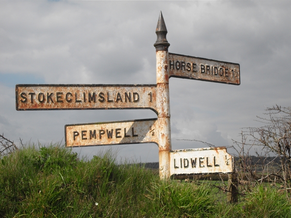
Pempwell

Pempwell is a hamlet near Stoke Climsland in Cornwall, England, UK. == References ==
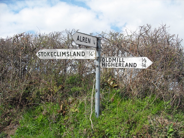
Stoke Climsland

Stoke Climsland is a village in the valley of the River Tamar, Cornwall, England, United Kingdom within the civil parish of Stokeclimsland. The population...

Whiteford House

Whiteford House was an English country house near Stoke Climsland, Cornwall. It was built in 1775 by John Call and demolished in 1913. == History == There...

Old Mill, Cornwall

Old Mill is a hamlet in the civil parish of Stokeclimsland, Cornwall, England. == References ==

Rezare

Rezare is a hamlet in east Cornwall, England. It is one mile east of Treburley on a minor road from Lewannick to Stoke Climsland. == References ==

Carthamartha

Carthamartha is a hamlet in the Tamar valley 1 mile (1.6 km) east of Treburley and 5 miles (8.0 km) south of Launceston in Cornwall, England, UK. It is...

Nearby Amenities

Located within 500m of 50.557864,-4.3138345
Kingston
Name Kw: Tregyna
Place: hamlet
Source: OS_OpenData_StreetView
Lat/Long: 50.5567184/-4.315788
The data included in this document is from www.openstreetmap.org. The data is made available under ODbL.

Have you been to Kingston?

Leave your review of Kingston below (or comments, questions and feedback).