Kingsnorth
Settlement in Kent
England
Kingsnorth
The requested URL returned error: 429 Too Many Requests
If you have any feedback on the listing, please let us know in the comments section below.
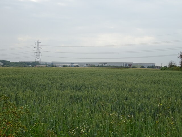
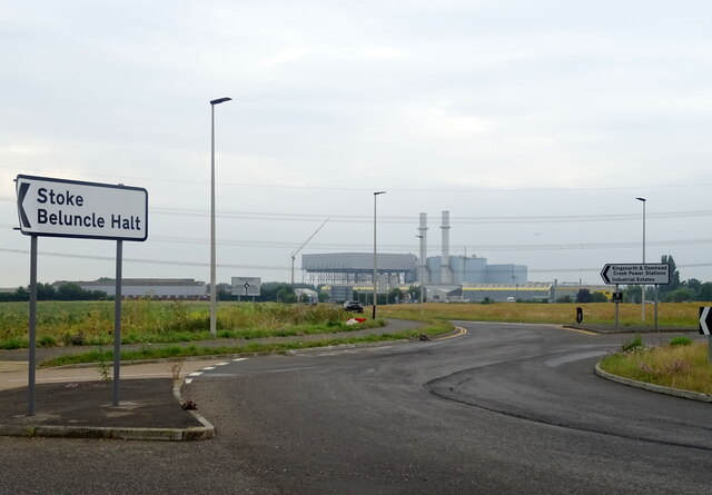
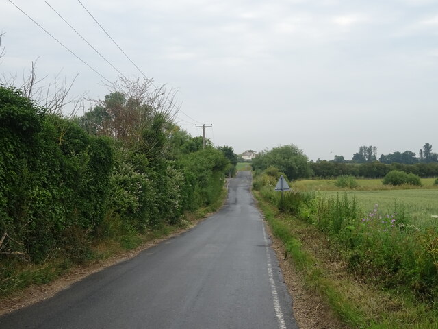
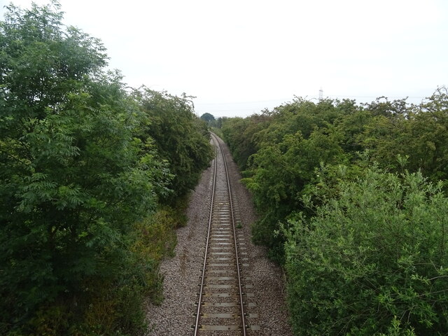
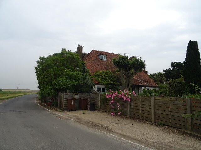
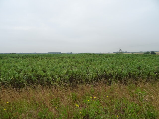
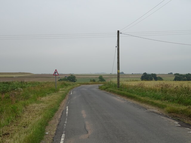
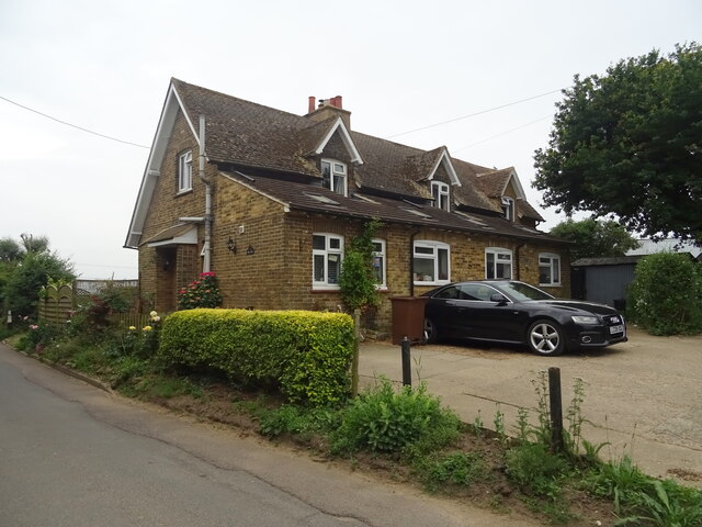
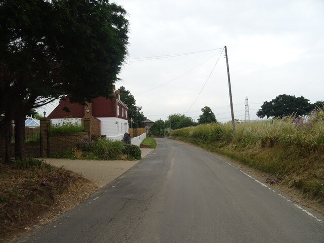
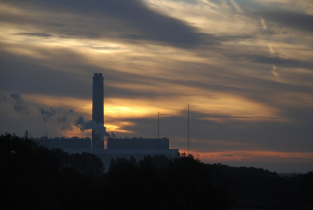
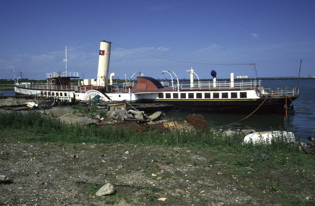
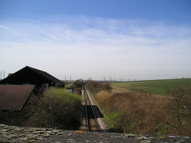
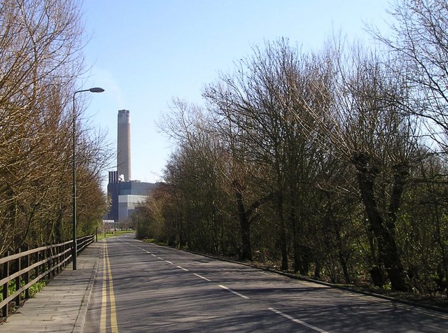
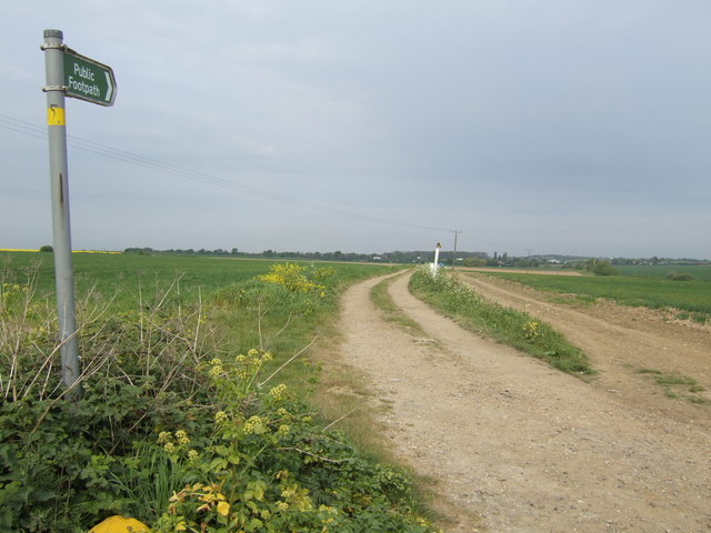
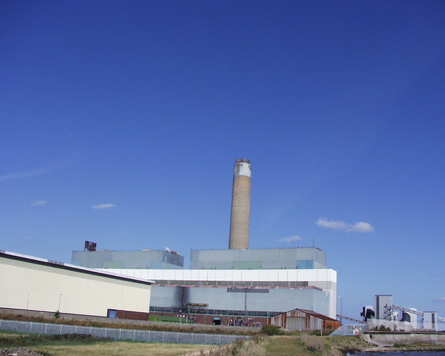
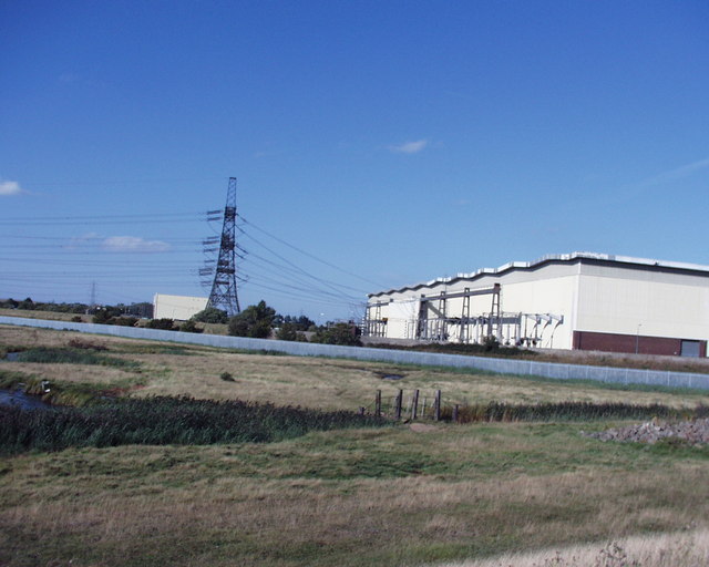
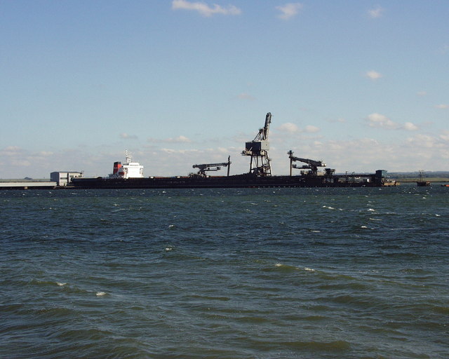
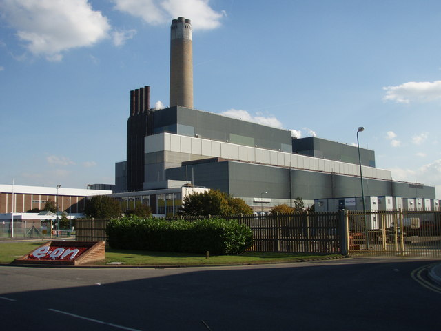
Kingsnorth Images
Images are sourced within 2km of 51.42447/0.58805363 or Grid Reference TQ8072. Thanks to Geograph Open Source API. All images are credited.
Kingsnorth is located at Grid Ref: TQ8072 (Lat: 51.42447, Lng: 0.58805363)
Unitary Authority: Medway
Police Authority: Kent
What 3 Words
///flown.spans.spots. Near Hoo, Kent
Nearby Locations
Related Wikis

Kingsnorth (Medway)
Kingsnorth is a place in Kent, England, on the south side of the Hoo Peninsula. It is distinct from the village of Kingsnorth, also in Kent, near Ashford...

Damhead Creek power station
Damhead Creek power station is a 792 MWe gas-fired power station in Kent, England, on the Hoo Peninsula, It is near the site of the decommissioned Kingsnorth...

RNAS Kingsnorth
RNAS Kingsnorth was a First World War Royal Navy air station for airships, initially operating as an experimental and training station, it later moved...

Beluncle Halt railway station
Beluncle Halt was a halt on the Hundred of Hoo Railway between Sharnal Street station and Middle Stoke halt. It was opened in July 1906 and closed to passengers...
Nearby Amenities
Located within 500m of 51.42447,0.58805363Have you been to Kingsnorth?
Leave your review of Kingsnorth below (or comments, questions and feedback).