Hungerford
Settlement in Hampshire New Forest
England
Hungerford
Hungerford is a historic market town located in the county of Hampshire, England. Situated on the banks of the River Dun, it is nestled in the North Wessex Downs, an Area of Outstanding Natural Beauty. The town has a population of approximately 6,000 residents.
With its origins dating back to the medieval period, Hungerford is steeped in history. The town's centerpiece is its picturesque High Street, featuring a mix of charming timber-framed buildings and elegant Georgian architecture. The town is known for its vibrant and bustling market scene, attracting visitors from near and far. The Hungerford Town and Manor Court, held annually, is a significant event where the ancient right of common grazing is exercised.
Nature enthusiasts are drawn to Hungerford due to its proximity to beautiful countryside. The town is surrounded by rolling hills and lush green meadows, offering endless opportunities for outdoor activities such as hiking, cycling, and fishing. The nearby Kennet and Avon Canal provides peaceful walks and picturesque views.
Hungerford is also renowned for its antique shops, making it a popular destination for collectors and enthusiasts. The town hosts regular antiques fairs and auctions, attracting buyers and sellers from across the country.
In terms of amenities, Hungerford offers a range of independent shops, cafes, and restaurants, providing both residents and visitors with a variety of options. It also has good transport links, with the M4 motorway and Hungerford railway station connecting the town to major cities such as London and Bristol.
Overall, Hungerford offers a unique blend of history, natural beauty, and a thriving market scene, making it a charming and sought-after destination in Hampshire.
If you have any feedback on the listing, please let us know in the comments section below.
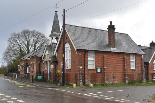
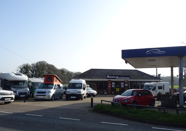
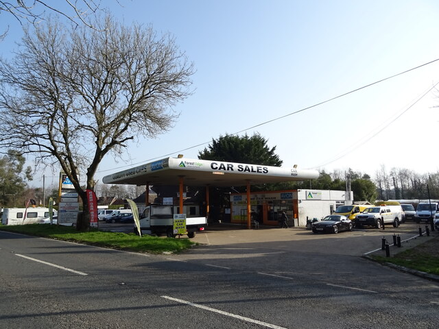
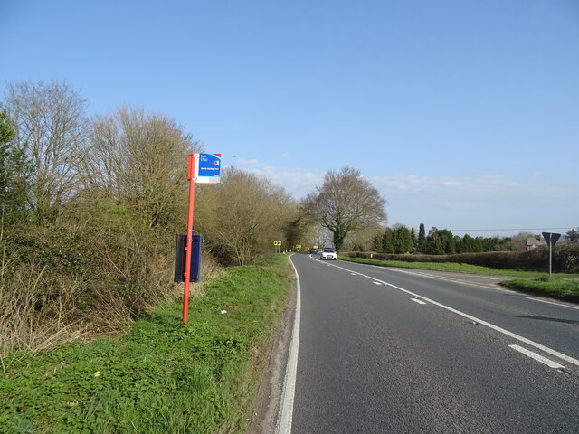
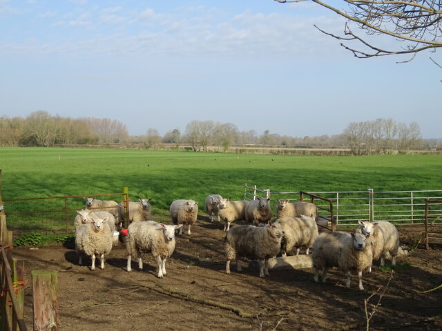
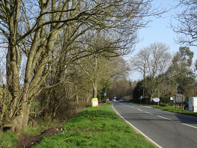
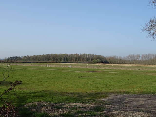
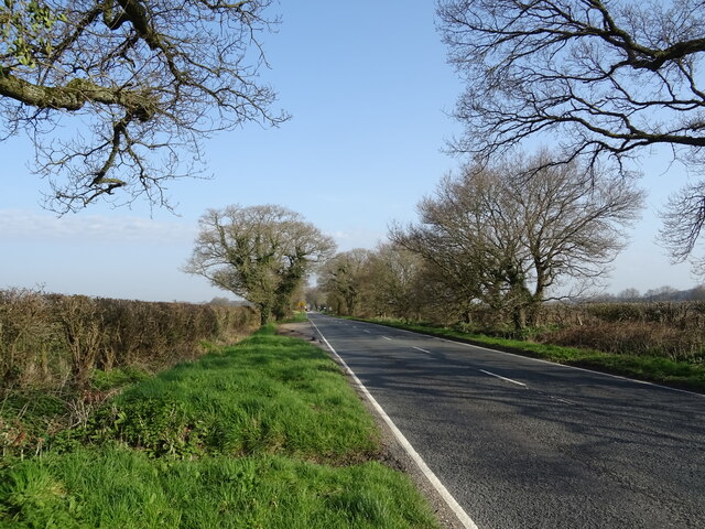
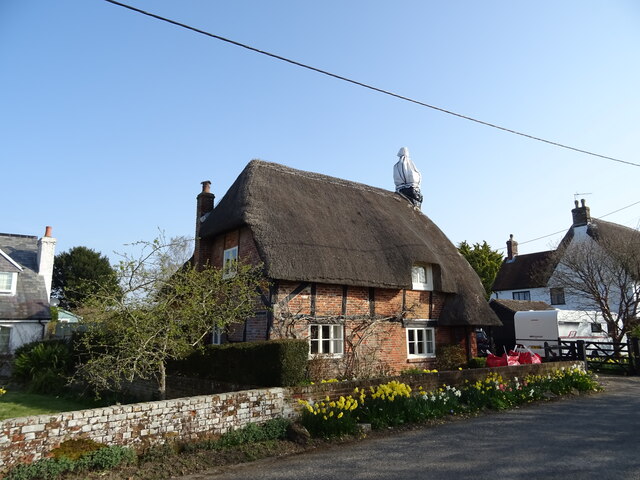
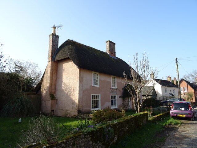
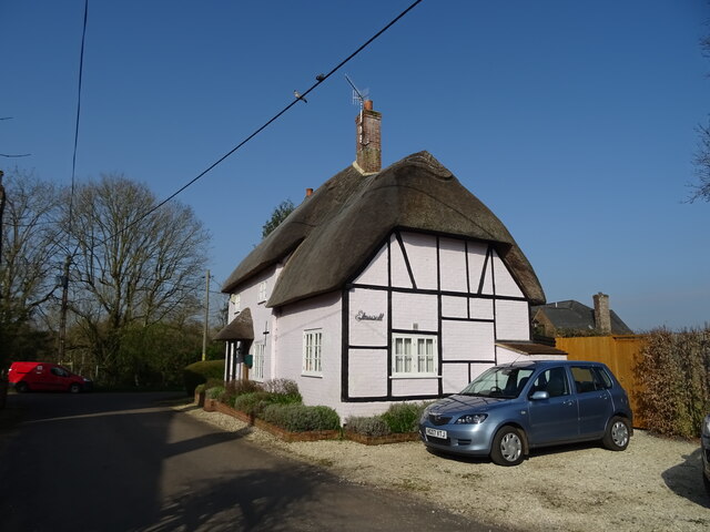
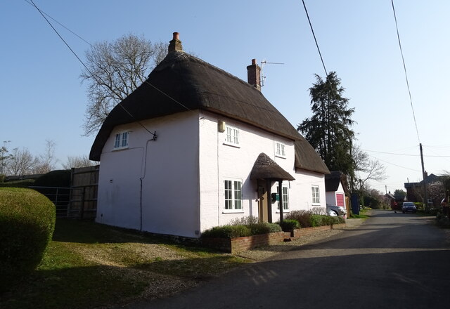
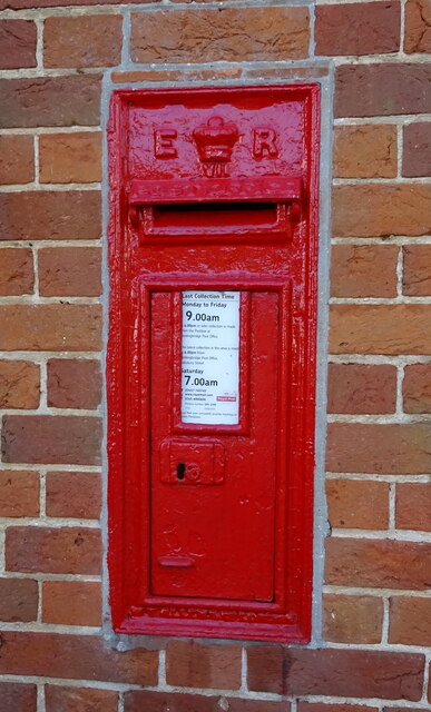
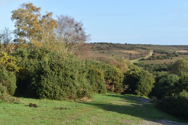
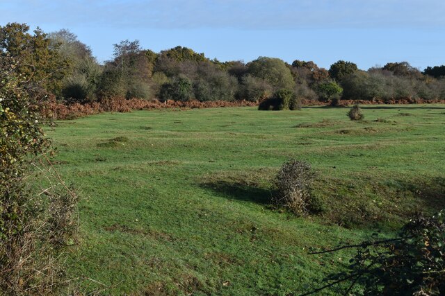
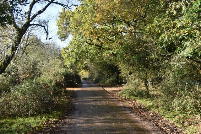
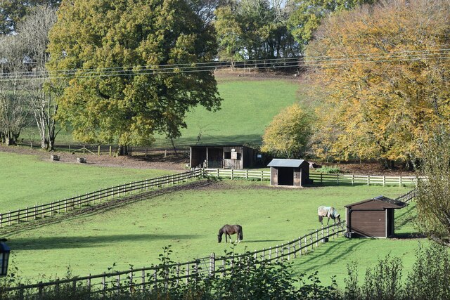
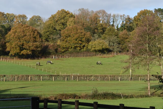
Hungerford Images
Images are sourced within 2km of 50.908696/-1.7632373 or Grid Reference SU1612. Thanks to Geograph Open Source API. All images are credited.
Hungerford is located at Grid Ref: SU1612 (Lat: 50.908696, Lng: -1.7632373)
Administrative County: Hampshire
District: New Forest
Police Authority: Hampshire
What 3 Words
///mandolin.spenders.plantings. Near Fordingbridge, Hampshire
Nearby Locations
Related Wikis

Hungerford, Hampshire
Hungerford is a hamlet in the New Forest National Park of Hampshire, England. Its nearest town is Fordingbridge, which lies approximately 2 miles (3.4...

Hyde, Hampshire
Hyde is a village and civil parish in the New Forest near Fordingbridge in Hampshire, England. == Overview == The parish of Hyde is mostly within the boundary...

Gorley Lynch
Gorley Lynch is a hamlet in the civil parish of Gorley in the New Forest National Park of Hampshire, England. It is in the civil parish of Hyde. Its nearest...

Gorley Hill
Gorley Hill is the site of a former Iron Age promontory hillfort located in Hampshire in the United Kingdom. The fort once occupied the southwestern corner...

Frogham, Hampshire
Frogham is a small village in the New Forest National Park of Hampshire, England. It is in the civil parish of Hyde. Its nearest town is Fordingbridge...

North Gorley
North Gorley is a hamlet in the New Forest National Park of Hampshire, England. Its nearest town is Fordingbridge, which lies approximately 2 miles (3...

Furze Hill
Furze Hill (or Furzehill) is a hamlet situated in the New Forest National Park of Hampshire, England. It is in the civil parish of Ellingham, Harbridge...

Ogdens
Ogdens is a small hamlet south of Hyde Common near Frogham in the New Forest area of Hampshire, England. Ogdens is a hamlet in the civil parish of Hyde...
Related Videos

I Stay In A Five-Star Holiday Park - Sandyballs Holiday Village in The New Forest
Subscribe https://bit.ly/KevinChapmanTravel Join https://bit.ly/KevinChapmanJoin First time here?


Sandy Balls and the New Forest | Day One | Travel day, room tour and exploring #travel #vlog
Sandy Balls and the New Forest | Day One | Travel day, room tour and exploring #travel #vlog Music: Bleach Musician: anatu ...

welcome to Sandyballs!!
if u enjoyed this video the make sure to like, subscribe and share the video to see more. If u have any suggestions on what I ...
Nearby Amenities
Located within 500m of 50.908696,-1.7632373Have you been to Hungerford?
Leave your review of Hungerford below (or comments, questions and feedback).