Hungry Hill
Settlement in Norfolk Breckland
England
Hungry Hill
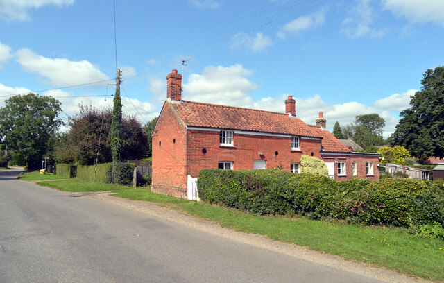
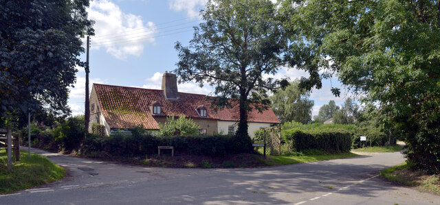
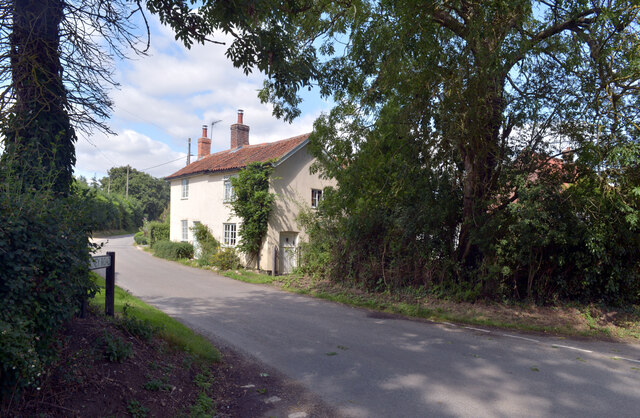
Hungry Hill is a small village located in the county of Norfolk, England. Situated near the town of Cromer, it lies on the eastern coast of the country, facing the North Sea. The village is known for its picturesque setting and tranquil atmosphere, making it a popular destination for those seeking a peaceful retreat.
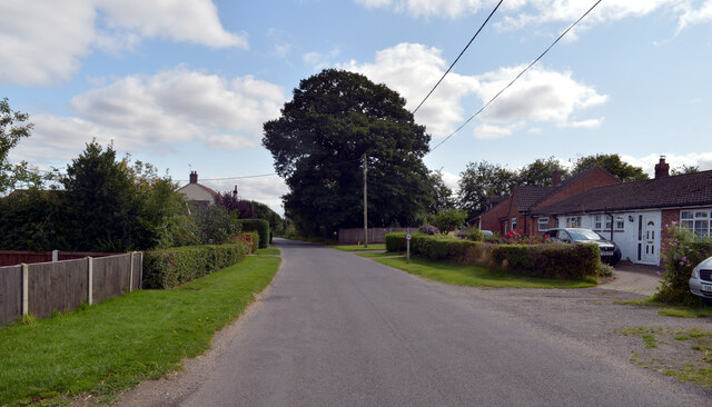
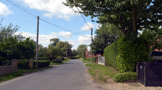
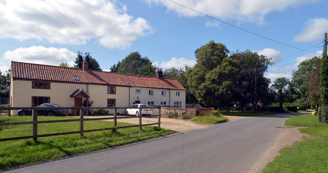
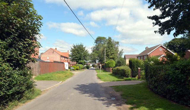
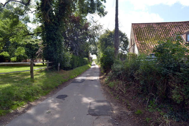
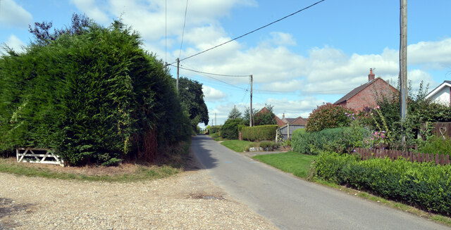
Surrounded by rolling hills and lush green fields, Hungry Hill offers visitors stunning views of the surrounding countryside. The village itself is characterized by its charming cottages and traditional architecture, giving it a quaint and idyllic feel. The local community is close-knit and friendly, welcoming both residents and tourists alike.
One of the main attractions in Hungry Hill is its proximity to the coast. The village boasts a beautiful sandy beach, perfect for long walks or picnics with family and friends. The coastline is also popular for water sports enthusiasts, with opportunities for swimming, surfing, and sailing.
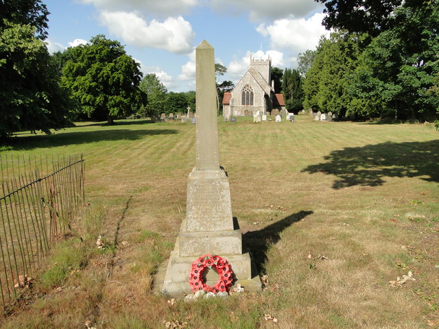
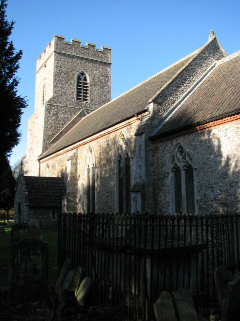
For those interested in history, Hungry Hill is home to several notable landmarks. The St. Peter's Church, a historic Norman building, stands as a testament to the village's rich heritage. Additionally, the area is dotted with ancient burial mounds and archaeological sites, providing glimpses into its past.
Hungry Hill offers a range of amenities for visitors, including charming bed and breakfast accommodations, local pubs serving delicious traditional meals, and quaint shops selling unique gifts and souvenirs. Overall, the village of Hungry Hill provides a serene and picturesque setting for those seeking a peaceful escape in the beautiful Norfolk countryside.
If you have any feedback on the listing, please let us know in the comments section below.
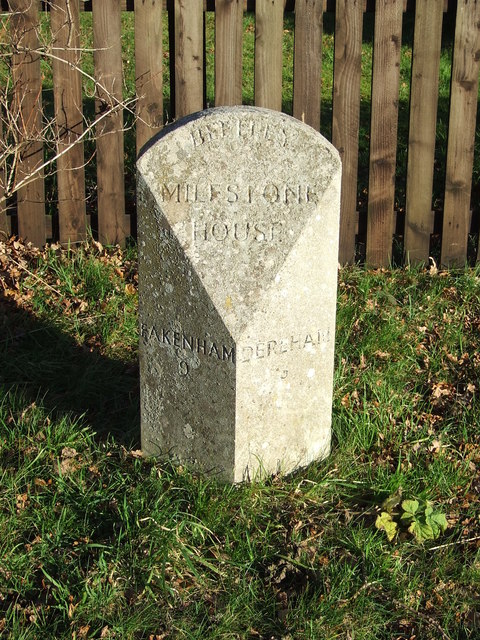
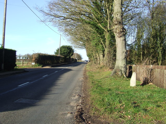
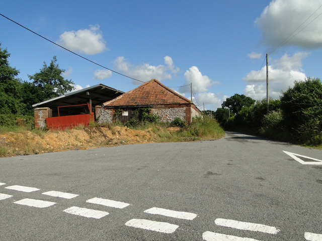
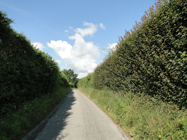
Hungry Hill Images
Images are sourced within 2km of 52.729098/0.90052269 or Grid Reference TF9518. Thanks to Geograph Open Source API. All images are credited.
Hungry Hill is located at Grid Ref: TF9518 (Lat: 52.729098, Lng: 0.90052269)
Administrative County: Norfolk
District: Breckland
Police Authority: Norfolk
What 3 Words
///running.chin.readjust. Near North Elmham, Norfolk
Nearby Locations
Related Wikis

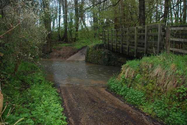
Panford Beck
Panford Beck is a minor watercourse that is entirely in the county of Norfolk, eastern England. This small short beck rises within the Parish of North...

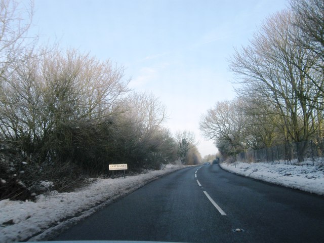
East Bilney
East Bilney is a village and former civil parish, now in the parish of Beetley, in the Breckland district, in the county of Norfolk, England. East Bilney...
Beetley
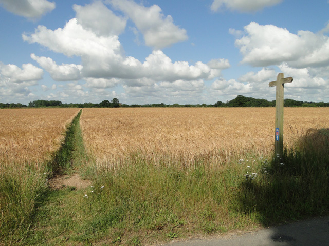
Beetley is a village and civil parish in the Breckland district of Norfolk, England. According to the 2011 census the parish had a population of 1,396...
Bittering, Norfolk
Bittering is a hamlet in the county of Norfolk, England, now in the civil parish of Beeston with Bittering. It lies west of East Dereham and south of Fakenham...
Nearby Amenities
Located within 500m of 52.729098,0.90052269Have you been to Hungry Hill?
Leave your review of Hungry Hill below (or comments, questions and feedback).