Hungryhatton
Settlement in Shropshire
England
Hungryhatton

Hungryhatton is a small village located in the county of Shropshire, England. It is situated in the northern part of the county, approximately 10 miles northeast of Shrewsbury. With a population of around 500 residents, Hungryhatton is a close-knit community known for its tranquil countryside and picturesque surroundings.
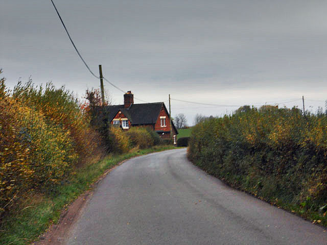
The village is nestled amidst rolling hills and green fields, offering breathtaking views of the Shropshire landscape. It is characterized by its charming cottages and traditional architecture, which adds to its overall charm and appeal. The village is surrounded by farmland, with agriculture playing a significant role in the local economy.
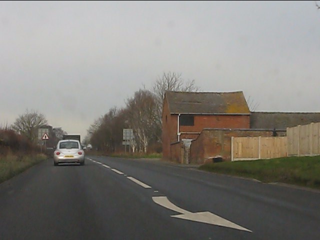
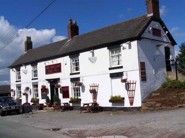
Hungryhatton is well-connected to neighboring towns and villages through a network of roads, making it easily accessible for both residents and visitors. The nearby A49 road provides convenient access to Shrewsbury and other major towns in the region. Despite its rural setting, the village benefits from amenities such as a local pub, a village hall, and a small convenience store, catering to the daily needs of its residents.
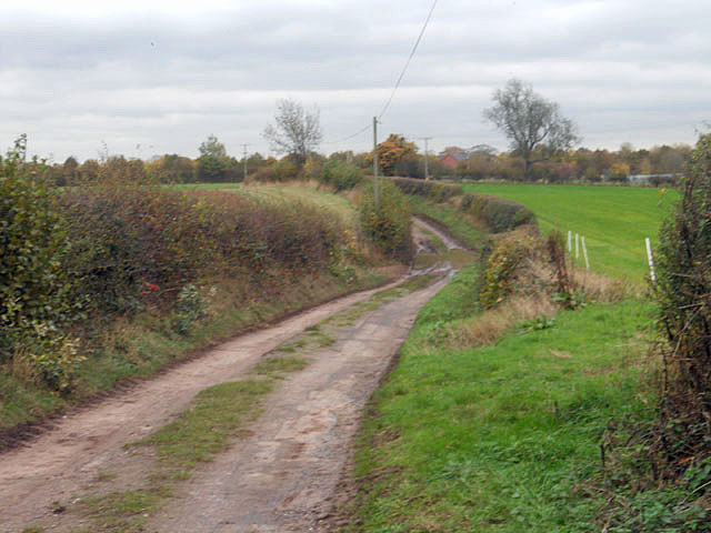
For nature enthusiasts, Hungryhatton offers ample opportunities for outdoor activities. The surrounding countryside provides a peaceful setting for walking, hiking, and cycling, with several scenic trails to explore. The village is also within close proximity to the beautiful Shropshire Hills Area of Outstanding Natural Beauty, making it an ideal base for those seeking to explore the region's natural wonders.
Overall, Hungryhatton is a charming village that offers a tranquil escape from the hustle and bustle of city life. With its scenic countryside, traditional architecture, and welcoming community, it is a hidden gem in the heart of Shropshire.
If you have any feedback on the listing, please let us know in the comments section below.
Hungryhatton Images
Images are sourced within 2km of 52.841799/-2.4882653 or Grid Reference SJ6727. Thanks to Geograph Open Source API. All images are credited.


Hungryhatton is located at Grid Ref: SJ6727 (Lat: 52.841799, Lng: -2.4882653)
Unitary Authority: Shropshire
Police Authority: West Merica
What 3 Words
///daring.worlds.animator. Near Stoke upon Tern, Shropshire
Nearby Locations
Related Wikis

Quarry Wood, Hinstock
Quarry Wood nature reserve is a 7-acre (28,000 m2) woodland on the west side of the A41 road at Hinstock in Shropshire that is managed by the Shropshire...

RNAS Hinstock (HMS Godwit)
Royal Naval Air Station Hinstock (RNAS Hinstock, also known as HMS Godwit) is a former Royal Navy, Fleet Air Arm station, located 4 miles (6 km) South...
Wistanswick
Wistanswick ( WISS-tənz-wik) is a small village, located in the parish of Stoke upon Tern in Shropshire, England. It is located in a rural area approximately...

Child's Ercall
Child's Ercall ( AR-kəl) is a village and civil parish in Shropshire, England. It is located in a rural area between the small towns of Market Drayton...
Nearby Amenities
Located within 500m of 52.841799,-2.4882653Have you been to Hungryhatton?
Leave your review of Hungryhatton below (or comments, questions and feedback).