Creefer's Hill

Hill, Mountain in Norfolk Breckland

England

Creefer's Hill

Road with hedgerows Fakenham Road approaching Bilney Common
Road with hedgerows Credit: P Gaskell

Creefer's Hill, located in Norfolk, England, is a prominent feature of the region's landscape. Despite being referred to as a hill, it is more accurately described as a small mountain due to its significant elevation. Rising approximately 300 meters above sea level, Creefer's Hill offers breathtaking panoramic views of the surrounding countryside.

The hill is situated within an Area of Outstanding Natural Beauty, known for its picturesque landscapes and diverse wildlife. It is covered in lush greenery, with a variety of trees and plant species adorning its slopes. The hill's summit is often shrouded in mist, which adds to its mystique and charm.

Creefer's Hill is a popular destination for outdoor enthusiasts and nature lovers. Several hiking trails crisscross its slopes, offering visitors the opportunity to explore its scenic beauty firsthand. The challenging terrain attracts both amateur and experienced hikers, making it a favorite spot for adventurous individuals seeking a physical challenge.

Aside from its natural beauty, Creefer's Hill also has historical significance. The area has been inhabited for centuries, with evidence of ancient settlements and burial mounds found in its vicinity. These historical remnants add an additional layer of intrigue to the hill, making it a fascinating destination for history buffs and archaeology enthusiasts.

Overall, Creefer's Hill in Norfolk is a stunning natural landmark that offers a unique blend of natural beauty, outdoor activities, and historical significance. Whether it is for hiking, admiring the views, or discovering ancient history, this small mountain has much to offer to visitors and locals alike.

If you have any feedback on the listing, please let us know in the comments section below.

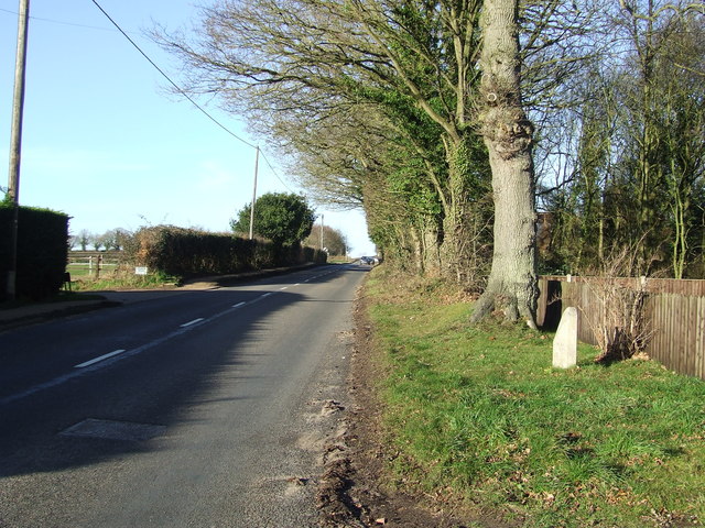
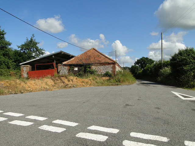
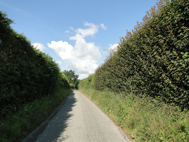
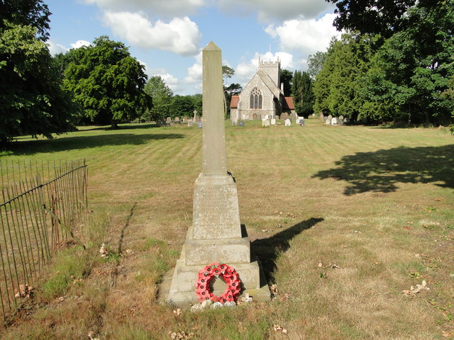
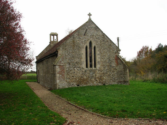
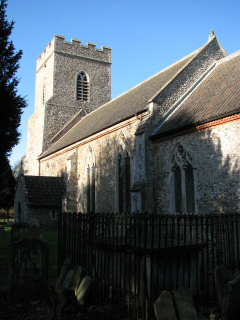
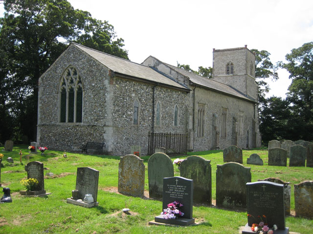
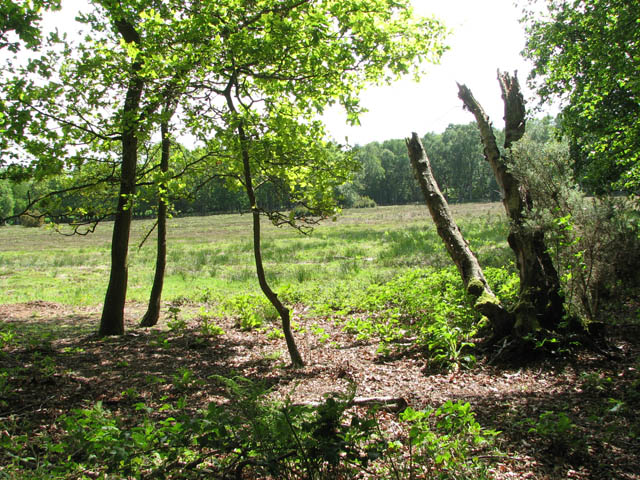
Creefer's Hill Images

Images are sourced within 2km of 52.733129/0.89526472 or Grid Reference TF9518. Thanks to Geograph Open Source API. All images are credited.

Road with hedgerows Fakenham Road approaching Bilney Common
Road with hedgerows
Fakenham Road approaching Bilney Common
Entrance to East Bilney
Footpath through the barley, off Fludge's Lane
East Bilney Ford This ford is found just south of the church on a muddy track called Folly Lane. The ford has steep concrete banks and a concrete base.
East Bilney Ford
This ford is found just south of the church on a muddy track called Folly Lane. The ford has steep concrete banks and a concrete base.
Old Milestone Old milestone at Beetley, Norfolk for overall view see <a title="https://www.geograph.org.uk/photo/3793169" href="https://www.geograph.org.uk/photo/3793169">Link</a>
Old Milestone
Old milestone at Beetley, Norfolk for overall view see Link
Old Milestone Old milestone at Beetley, Norfolk for close up view see <a title="https://www.geograph.org.uk/photo/3793168" href="https://www.geograph.org.uk/photo/3793168">Link</a>
Old Milestone
Old milestone at Beetley, Norfolk for close up view see Link
Old farm buildings at Hungry Hill
High hedges hiding the quarry workings
East Bilney War Memorial The Memorial stand within the churchyard not far from the road.
It bears four names relating to WW1 but is missing two others, Ernest FAIRCLOTH and Stuart Cyril PRATT.
East Bilney War Memorial
The Memorial stand within the churchyard not far from the road. It bears four names relating to WW1 but is missing two others, Ernest FAIRCLOTH and Stuart Cyril PRATT.
Bittering Street, Gressenhall A close-up of the post box by the junction with Hall's Drive can be seen in <a href="https://www.geograph.org.uk/photo/6987195">TF9617 : Post box, Bittering Street, Gressenhall</a>.
Bittering Street, Gressenhall
A close-up of the post box by the junction with Hall's Drive can be seen in TF9617 : Post box, Bittering Street, Gressenhall.
Chequers Lane seen from Bittering Street, Gressenhall
Post box, Bittering Street, Gressenhall This post box, at the junction with Hall's Lane can be seen in context in <a href="https://www.geograph.org.uk/photo/6987189">TF9617 : Bittering Street, Gressenhall</a>.
Post box, Bittering Street, Gressenhall
This post box, at the junction with Hall's Lane can be seen in context in TF9617 : Bittering Street, Gressenhall.
Bittering Street, Gressenhall
Junction of Bittering Street and Common Drift, Gressenhall
A field seen from Common Drift, Gressenhall
Common Drift, Gressenhall
Show me another place!

Creefer's Hill is located at Grid Ref: TF9518 (Lat: 52.733129, Lng: 0.89526472)

Administrative County: Norfolk

District: Breckland

Police Authority: Norfolk

What 3 Words

///wash.deciding.proves. Near North Elmham, Norfolk

Nearby Locations

Hungry Hill Creefer's Hill

Related Wikis

Panford Beck

Panford Beck is a minor watercourse that is entirely in the county of Norfolk, eastern England. This small short beck rises within the Parish of North...
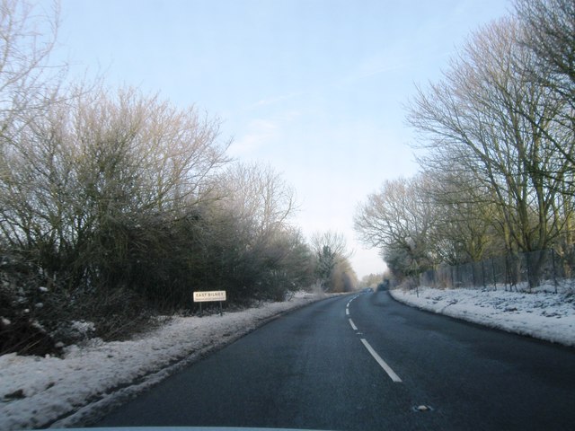
East Bilney

East Bilney is a village and former civil parish, now in the parish of Beetley, in the Breckland district, in the county of Norfolk, England. East Bilney...

Bittering, Norfolk

Bittering is a hamlet in the county of Norfolk, England, now in the civil parish of Beeston with Bittering. It lies west of East Dereham and south of Fakenham...

Beetley

Beetley is a village and civil parish in the Breckland district of Norfolk, England. According to the 2011 census the parish had a population of 1,396...

Stanfield, Norfolk

Stanfield (English: ) is a civil parish in the English county of Norfolk. It covers an area of 3.80 km2 (1.47 sq mi) and had a population of 162 in 2011...

Brisley

Brisley is a village in the English county of Norfolk located about halfway between Fakenham and East Dereham. It covers an area of 4.90 km2 (1.89 sq mi...

Spong Hill

Spong Hill is an Anglo-Saxon cemetery site located south of North Elmham in Norfolk, England. It is the largest known Early Anglo-Saxon cremation site...

Beetley and Hoe Meadows

Beetley and Hoe Meadows is an 11.4-hectare (28-acre) biological Site of Special Scientific Interest north of Dereham in Norfolk, United Kingdom. The site...

Nearby Amenities

Located within 500m of 52.733129,0.89526472
East Bilney
Place: hamlet
Source: npe
Lat/Long: 52.7375792/0.8953011
Bicycle Parking
Bicycle Parking: stands
Capacity: 4
Covered: no
Lat/Long: 52.7294567/0.8953596
Ncn Milepost: mills
Source: survey
Sustrans Ref: MP570
Lat/Long: 52.7294701/0.8954152
Ford: yes
Lat/Long: 52.7351284/0.8978928
Turning Circle
Lat/Long: 52.737068/0.8984445
Post Box
Lat/Long: 52.7354246/0.8914663
Power: pole
Lat/Long: 52.7372969/0.8974698
Power: pole
Lat/Long: 52.7375876/0.8960617
Power: pole
Lat/Long: 52.7374317/0.8965954
Barrier: block
Foot: no
Material: wood
Lat/Long: 52.7372791/0.8965632
Barrier: stile
Foot: yes
Material: wood
Stile: stepover
Lat/Long: 52.736641/0.8953417
The data included in this document is from www.openstreetmap.org. The data is made available under ODbL.

Have you been to Creefer's Hill?

Leave your review of Creefer's Hill below (or comments, questions and feedback).