Hyde
Settlement in Hampshire New Forest
England
Hyde
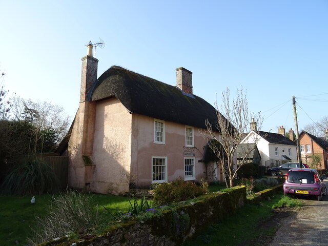
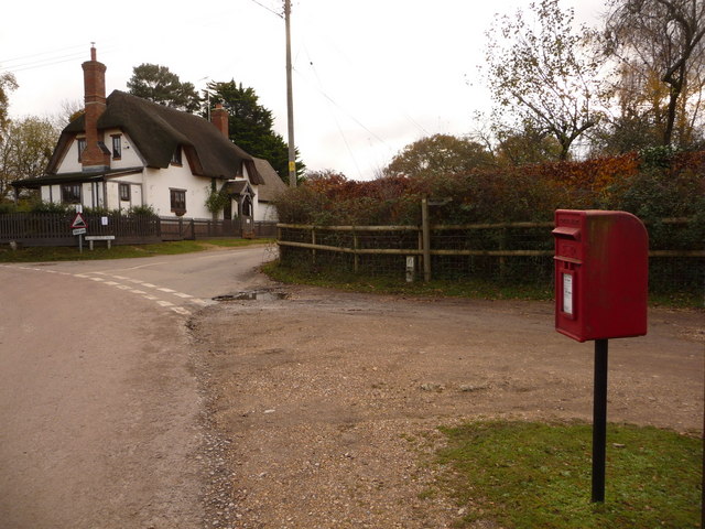
Hyde is a small village located in the county of Hampshire, England. Situated in the Test Valley district, it is nestled within the picturesque landscape of the South Downs National Park. The village is approximately 5 miles southeast of the town of Winchester and has a population of around 500 residents.
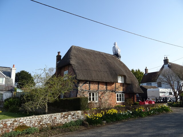
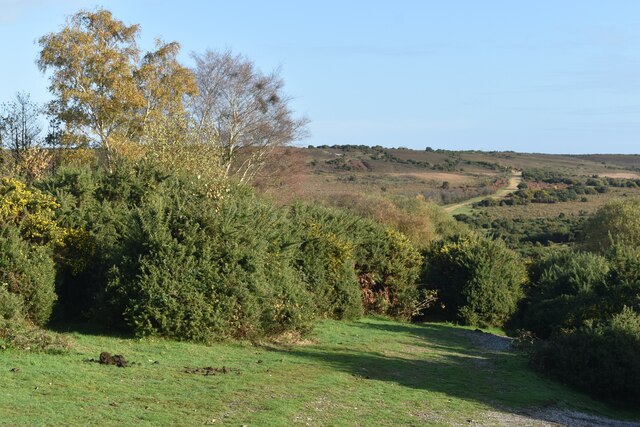
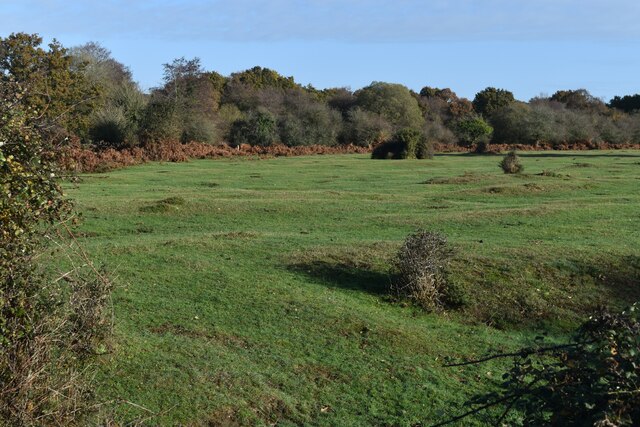
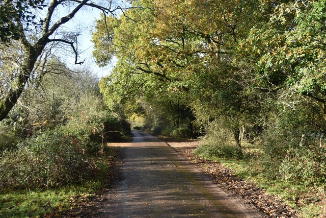
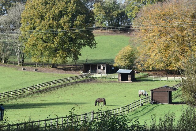
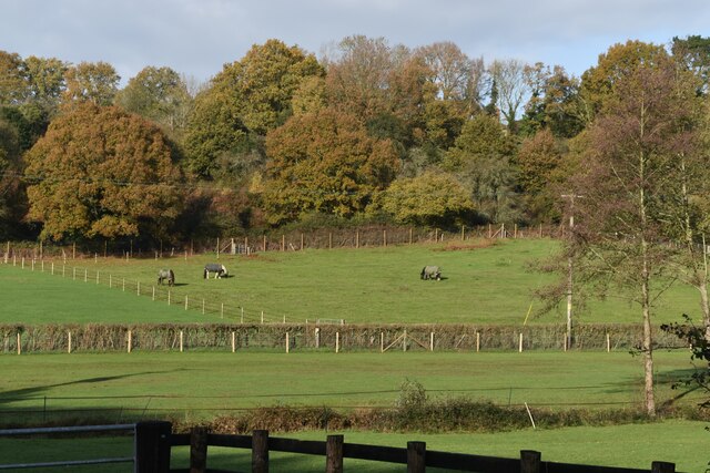
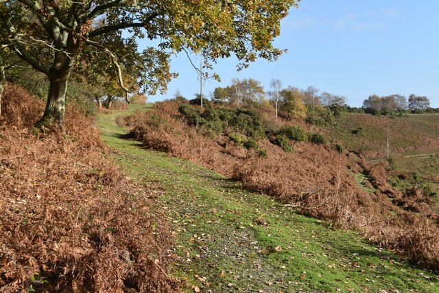
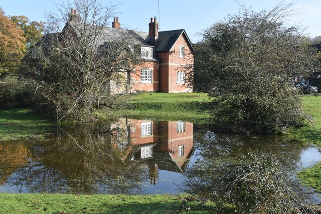
Hyde is known for its rural charm and tranquil atmosphere. Surrounded by rolling hills, meadows, and woodlands, it offers beautiful vistas and a peaceful environment. The village is primarily residential, with a scattering of traditional cottages and more modern housing developments.
One of the notable features of Hyde is its close proximity to the River Itchen, which flows through the village. This provides opportunities for fishing and recreational activities such as boating and walking along the riverbanks.
Despite its small size, Hyde has a strong sense of community and offers a range of amenities for its residents. These include a village hall, a local pub, and a primary school. The village also benefits from being within easy reach of larger towns and cities, with Winchester offering a wider range of services and amenities just a short drive away.
Hyde is a popular destination for nature lovers and outdoor enthusiasts due to its scenic surroundings. The village attracts visitors who come to explore the nearby nature reserves and walking trails, making it a haven for those seeking a peaceful retreat in the Hampshire countryside.
If you have any feedback on the listing, please let us know in the comments section below.
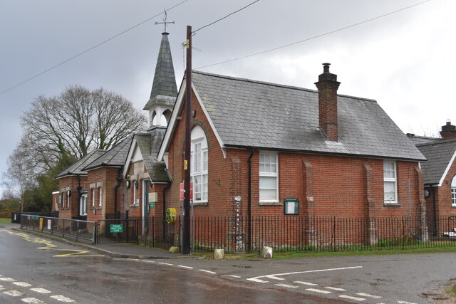
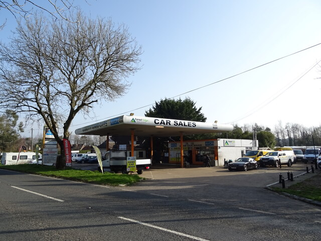
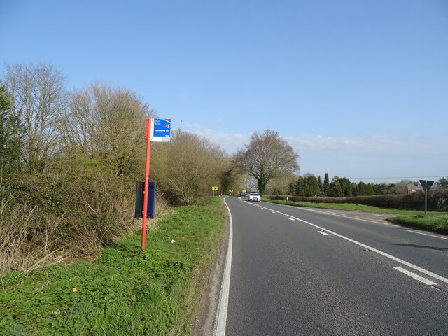
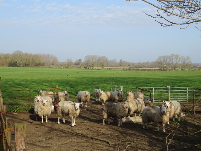
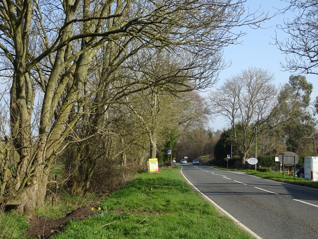
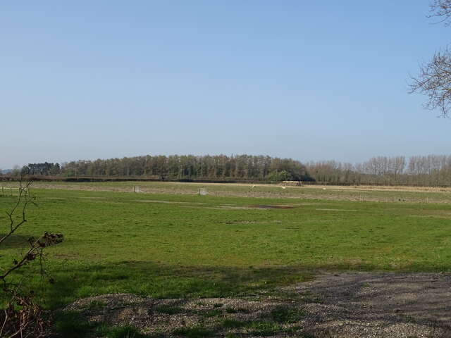
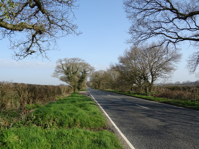
Hyde Images
Images are sourced within 2km of 50.911256/-1.7618304 or Grid Reference SU1612. Thanks to Geograph Open Source API. All images are credited.


Hyde is located at Grid Ref: SU1612 (Lat: 50.911256, Lng: -1.7618304)
Administrative County: Hampshire
District: New Forest
Police Authority: Hampshire
What 3 Words
///glow.bared.screening. Near Fordingbridge, Hampshire
Nearby Locations
Related Wikis

Hyde, Hampshire
Hyde is a village and civil parish in the New Forest near Fordingbridge in Hampshire, England. == Overview == The parish of Hyde is mostly within the boundary...

Hungerford, Hampshire
Hungerford is a hamlet in the New Forest National Park of Hampshire, England. Its nearest town is Fordingbridge, which lies approximately 2 miles (3.4...

Frogham, Hampshire
Frogham is a small village in the New Forest National Park of Hampshire, England. It is in the civil parish of Hyde. Its nearest town is Fordingbridge...

Gorley Lynch
Gorley Lynch is a hamlet in the civil parish of Gorley in the New Forest National Park of Hampshire, England. It is in the civil parish of Hyde. Its nearest...

Gorley Hill
Gorley Hill is the site of a former Iron Age promontory hillfort located in Hampshire in the United Kingdom. The fort once occupied the southwestern corner...

Ogdens
Ogdens is a small hamlet south of Hyde Common near Frogham in the New Forest area of Hampshire, England. Ogdens is a hamlet in the civil parish of Hyde...

Stuckton
Stuckton is a hamlet in the New Forest National Park of Hampshire, England. Its nearest town is Fordingbridge, which lies approximately 1 mile (1.7 km...
Blissford
Blissford is a hamlet in the civil parish of Hyde situated in the New Forest National Park in Hampshire, England. Its nearest town is Fordingbridge, which...
Nearby Amenities
Located within 500m of 50.911256,-1.7618304Have you been to Hyde?
Leave your review of Hyde below (or comments, questions and feedback).