Hungerford Copse
Wood, Forest in Hampshire New Forest
England
Hungerford Copse
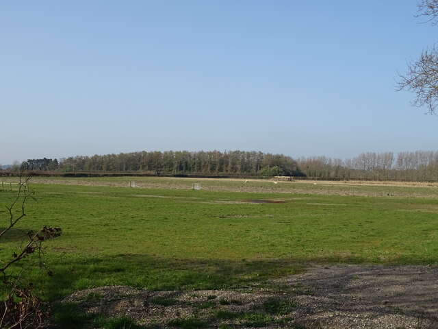
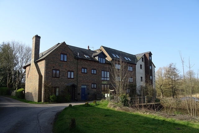
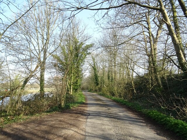
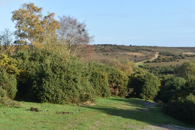
Hungerford Copse, located in Hampshire, England, is a picturesque wood that spans over an area of approximately 50 acres. As part of the larger Hungerford Estate, this copse is nestled amidst the rolling countryside, providing a tranquil and serene environment for visitors to explore.
The copse is predominantly made up of deciduous trees, including oak, beech, and ash, which create a vibrant and colorful canopy during the autumn months. The lush undergrowth is home to a variety of flora, such as bluebells, primroses, and ferns, adding to the copse's natural charm.
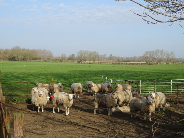
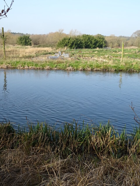
Hungerford Copse boasts a rich biodiversity, attracting a wide range of wildlife. Birdwatchers can spot species like woodpeckers, owls, and songbirds, while small mammals, including foxes, badgers, and squirrels, can also be observed in their natural habitats. The copse is a haven for nature enthusiasts and photographers seeking to capture the beauty of the woodland and its inhabitants.
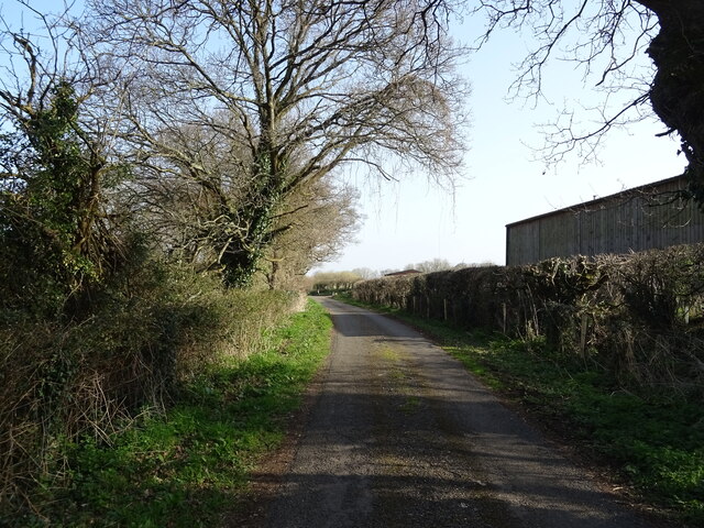
Visitors to Hungerford Copse can explore the numerous walking trails that meander through the wood, offering a chance to immerse themselves in its tranquility. The copse is also a popular spot for picnics and family outings, with open clearings providing ample space for recreational activities.
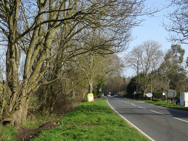
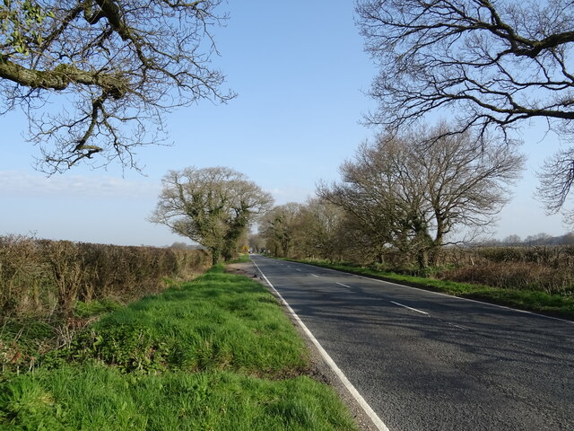
Managed by the local authorities, Hungerford Copse is well-maintained, with clear signage, benches, and waste bins available for the convenience of visitors. It is easily accessible by road and has a small parking area nearby.
Overall, Hungerford Copse is a captivating wood in Hampshire, offering a peaceful retreat for nature lovers and a sanctuary for a diverse range of flora and fauna.
If you have any feedback on the listing, please let us know in the comments section below.
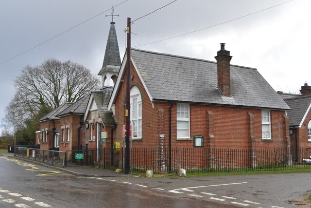
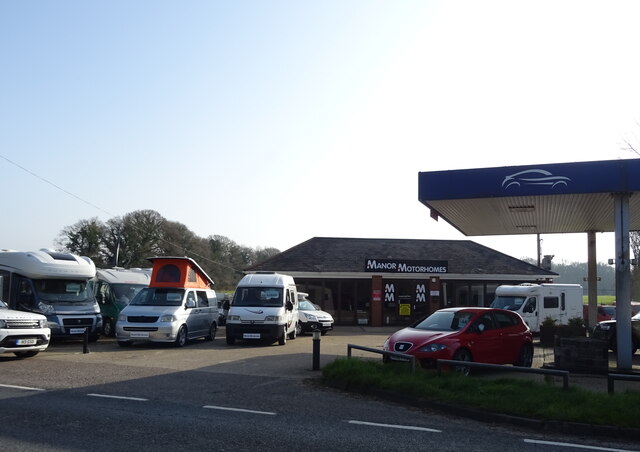
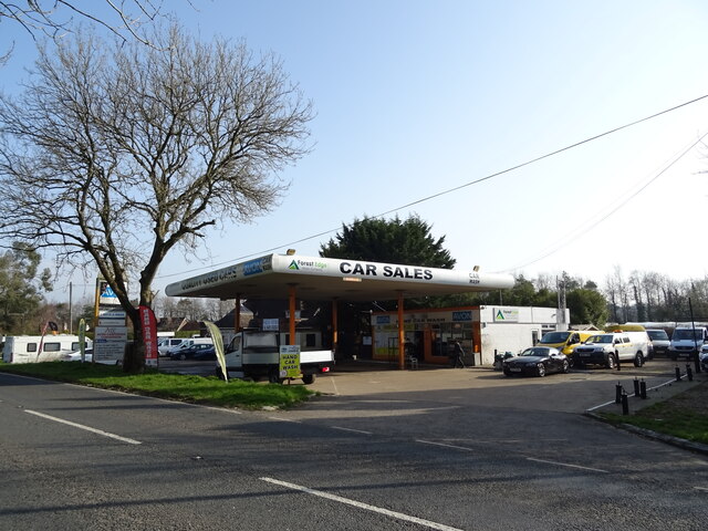
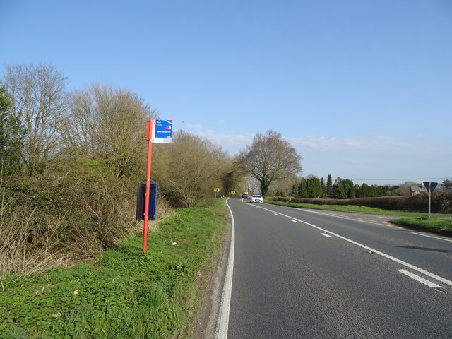
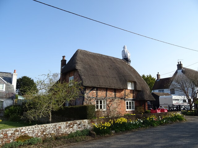
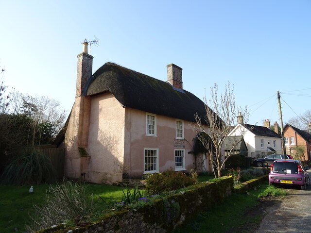
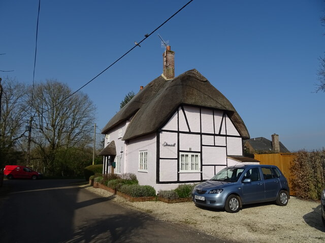
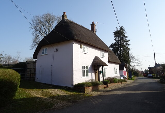
Hungerford Copse Images
Images are sourced within 2km of 50.908745/-1.7651144 or Grid Reference SU1612. Thanks to Geograph Open Source API. All images are credited.
Hungerford Copse is located at Grid Ref: SU1612 (Lat: 50.908745, Lng: -1.7651144)
Administrative County: Hampshire
District: New Forest
Police Authority: Hampshire
What 3 Words
///newsstand.meant.furnish. Near Fordingbridge, Hampshire
Nearby Locations
Related Wikis

Hungerford, Hampshire
Hungerford is a hamlet in the New Forest National Park of Hampshire, England. Its nearest town is Fordingbridge, which lies approximately 2 miles (3.4...

Hyde, Hampshire
Hyde is a village and civil parish in the New Forest near Fordingbridge in Hampshire, England. == Overview == The parish of Hyde is mostly within the boundary...

Gorley Hill
Gorley Hill is the site of a former Iron Age promontory hillfort located in Hampshire in the United Kingdom. The fort once occupied the southwestern corner...

Gorley Lynch
Gorley Lynch is a hamlet in the civil parish of Gorley in the New Forest National Park of Hampshire, England. It is in the civil parish of Hyde. Its nearest...

North Gorley
North Gorley is a hamlet in the New Forest National Park of Hampshire, England. Its nearest town is Fordingbridge, which lies approximately 2 miles (3...

Frogham, Hampshire
Frogham is a small village in the New Forest National Park of Hampshire, England. It is in the civil parish of Hyde. Its nearest town is Fordingbridge...

Furze Hill
Furze Hill (or Furzehill) is a hamlet situated in the New Forest National Park of Hampshire, England. It is in the civil parish of Ellingham, Harbridge...

Stuckton
Stuckton is a hamlet in the New Forest National Park of Hampshire, England. Its nearest town is Fordingbridge, which lies approximately 1 mile (1.7 km...
Nearby Amenities
Located within 500m of 50.908745,-1.7651144Have you been to Hungerford Copse?
Leave your review of Hungerford Copse below (or comments, questions and feedback).