Heater Wood
Wood, Forest in Northumberland
England
Heater Wood
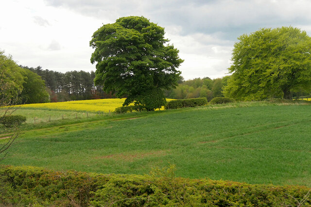
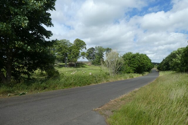
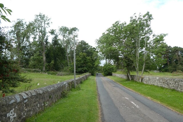
Heater Wood is a picturesque forest located in the county of Northumberland, England. Covering an area of approximately 100 hectares, the wood is a haven for nature enthusiasts and offers a serene escape from the hustle and bustle of city life.
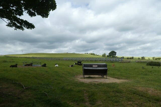
The wood is predominantly composed of deciduous trees, including oak, beech, and birch, which create a stunning display of colors during the autumn months. The dense foliage provides a habitat for a variety of wildlife, including deer, foxes, and numerous bird species, making it a popular spot for birdwatchers and wildlife photographers.
There are several well-maintained trails that wind through the wood, offering visitors the opportunity to explore its beauty on foot. The paths are easy to navigate and suitable for all ages and fitness levels. Along the way, visitors can discover hidden glades, babbling brooks, and tranquil ponds, adding to the enchanting atmosphere of the wood.
Heater Wood is also home to a small visitor center, which provides information about the local flora and fauna, as well as guided tours and educational programs for school groups. The center also has a café, where visitors can enjoy a hot drink or a light meal while taking in the stunning views of the wood.
Overall, Heater Wood is a captivating destination for nature lovers, offering a peaceful retreat where one can immerse themselves in the beauty of Northumberland's natural landscape. Whether it's a leisurely stroll, a wildlife-spotting adventure, or a moment of tranquility, the wood has something to offer for everyone.
If you have any feedback on the listing, please let us know in the comments section below.
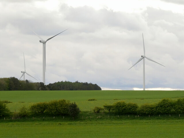
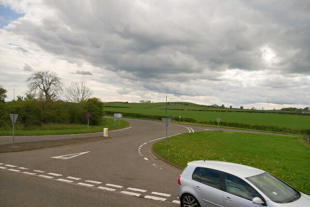
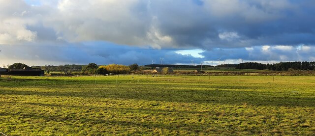
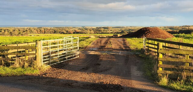
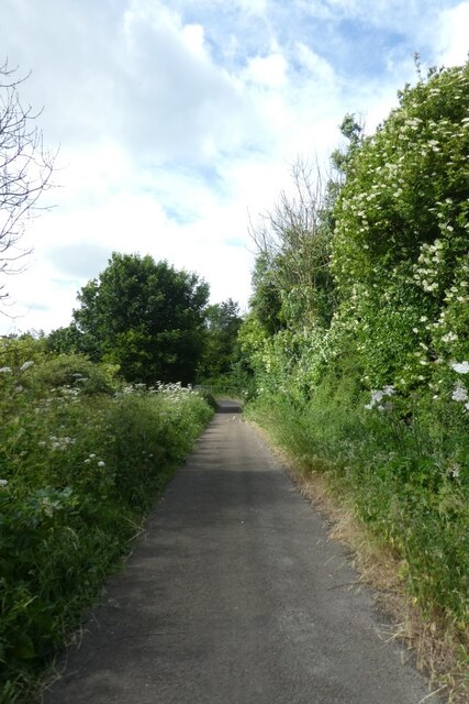
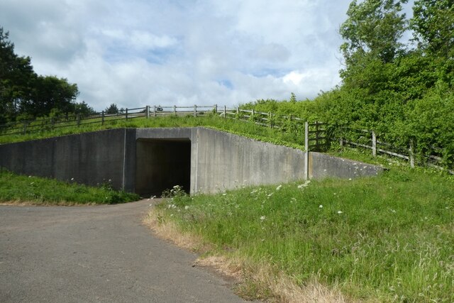
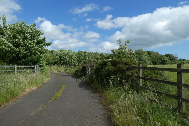
Heater Wood Images
Images are sourced within 2km of 55.487097/-1.7386622 or Grid Reference NU1621. Thanks to Geograph Open Source API. All images are credited.


Heater Wood is located at Grid Ref: NU1621 (Lat: 55.487097, Lng: -1.7386622)
Unitary Authority: Northumberland
Police Authority: Northumbria
What 3 Words
///butterfly.nobody.wicket. Near Ellingham, Northumberland
Nearby Locations
Related Wikis

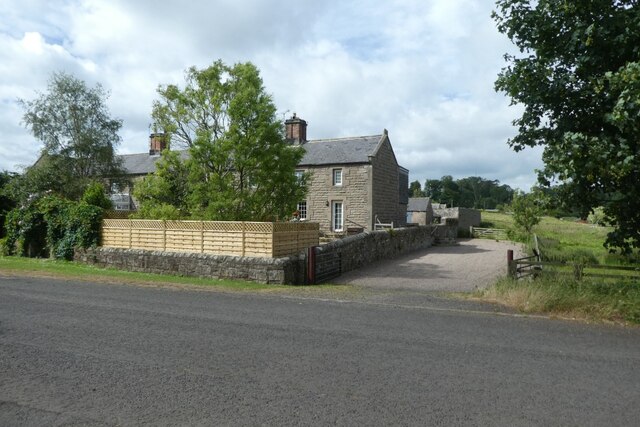
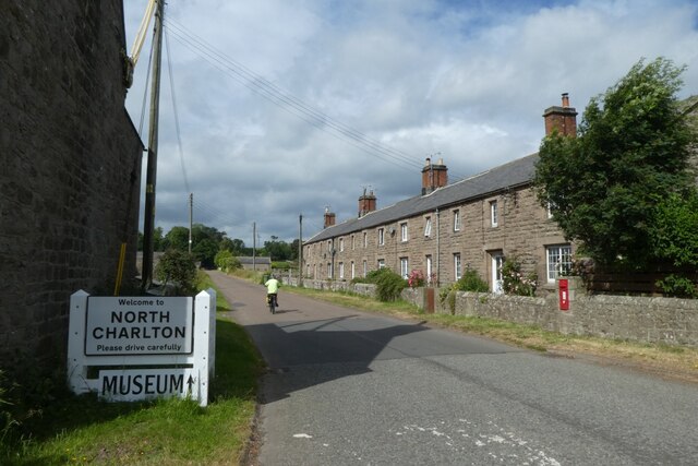
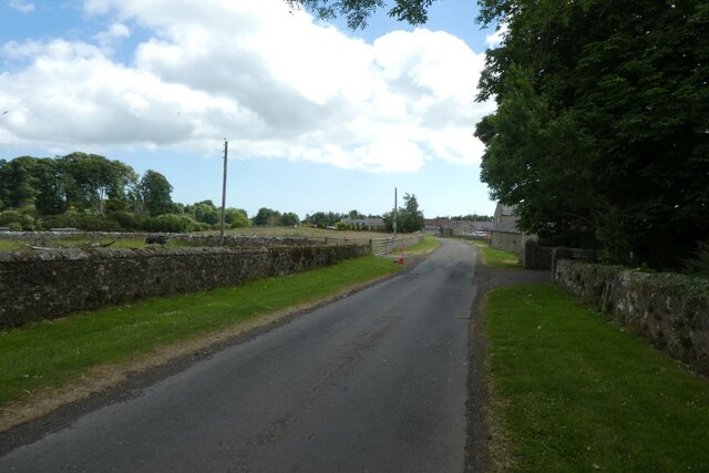
North Charlton
North Charlton is a hamlet and former civil parish, now in the parish of Eglingham, in Northumberland, England. It is situated between Alnwick and Berwick...
South Charlton
South Charlton is a small village and former civil parish, now in the parish of Eglingham, in the county of Northumberland, England, five miles (8 km)...
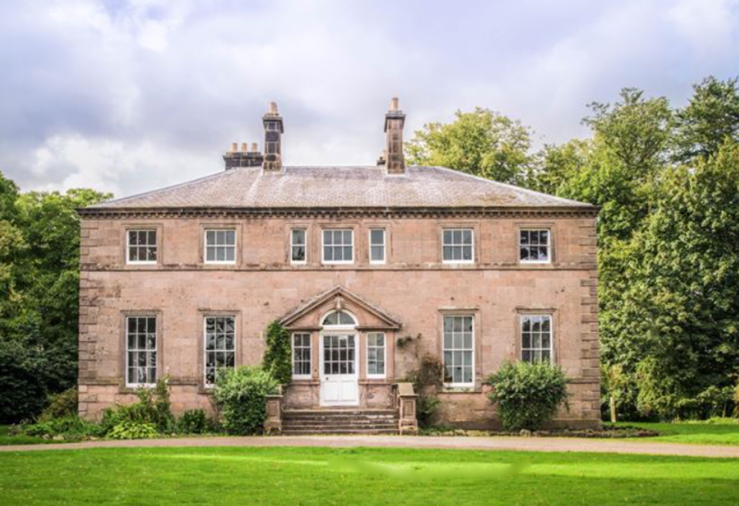
Charlton Hall, Northumberland
Charlton Hall near Ellingham, Northumberland is a building of historical significance and is listed Grade II* on the English Heritage Register. It was...

Brownieside
Brownieside is a hamlet in Northumberland, in England. It is situated between Alnwick and Berwick-upon-Tweed, on the A1 a short distance to the north of...

Rock Hall, Northumberland
Rock Hall is a privately owned 18th-century country house, at Rock, Rennington, near Alnwick, Northumberland (grid reference NU20082026). It is a Grade...

Rock, Northumberland
Rock is a village and former civil parish, now in the parish of Rennington, in Northumberland, England about 5 miles (8 km) north of Alnwick. In 1951 the...

Ellingham, Northumberland
Ellingham is a civil parish in Northumberland, England. The population taken at the 2001 Census was 282, increasing slightly to 288 at the 2011 Census...

Preston Tower, Northumberland
Preston Tower is a fourteenth-century pele tower in Preston, Northumberland, England built in 1392. The tower is now a private museum. == References... ==
Nearby Amenities
Located within 500m of 55.487097,-1.7386622Have you been to Heater Wood?
Leave your review of Heater Wood below (or comments, questions and feedback).