Alsop Moor Plantation

Wood, Forest in Derbyshire Derbyshire Dales

England

Alsop Moor Plantation

Early morning view northwest to Biggin from field path
Early morning view northwest to Biggin from field path Credit: Colin Park

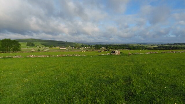
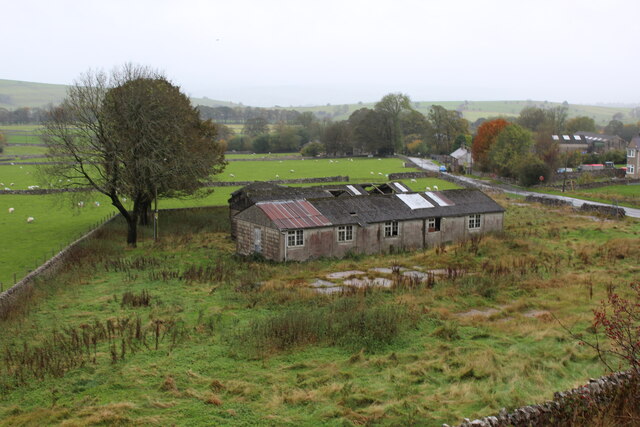
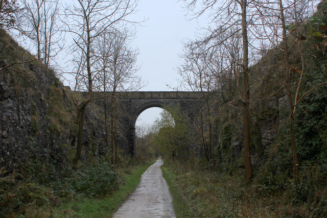
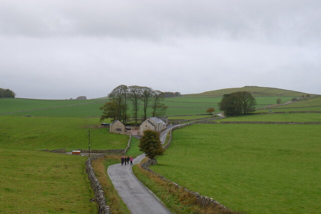
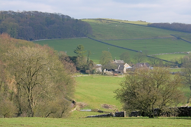
Alsop Moor Plantation is a woodland located in the county of Derbyshire, England. Situated near the village of Alsop en le Dale, the plantation covers an area of approximately 500 acres. It is part of the larger Peak District National Park, renowned for its picturesque landscapes and rich biodiversity.

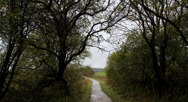
The woodland is predominantly composed of coniferous trees, such as Scots pine and Sitka spruce, which were planted in the mid-20th century to support the timber industry. These trees form dense canopies, providing shelter and nesting sites for various bird species, including woodpeckers, owls, and songbirds.

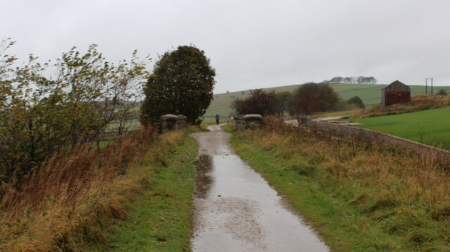
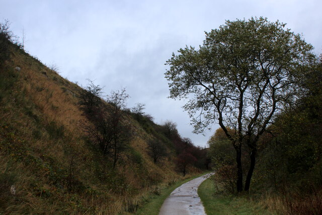
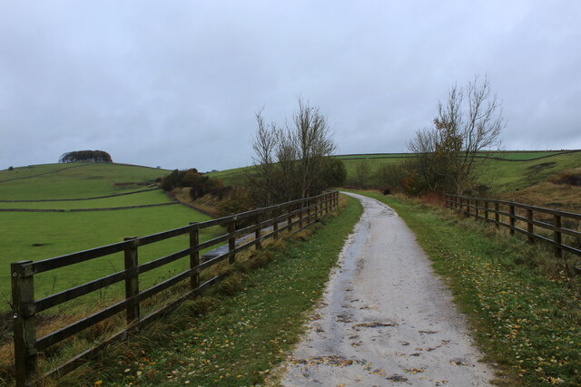
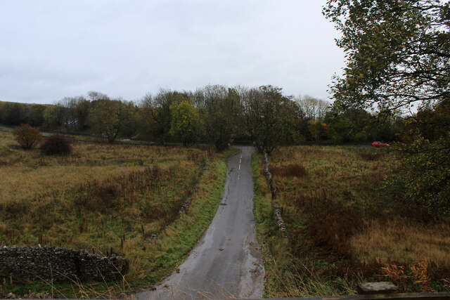
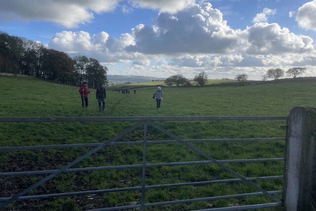
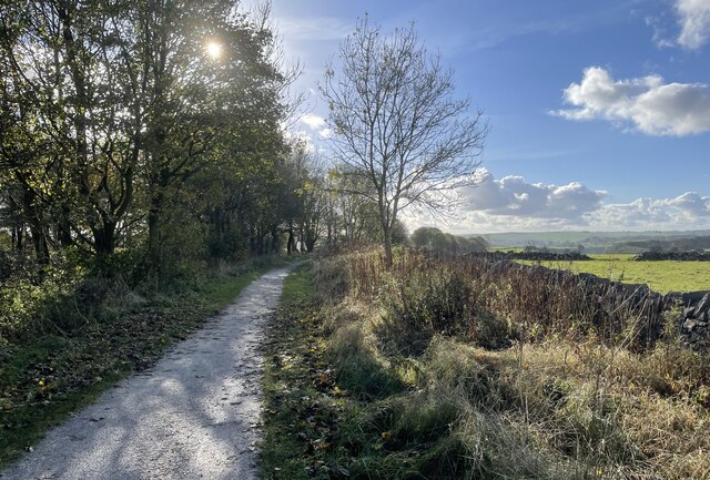
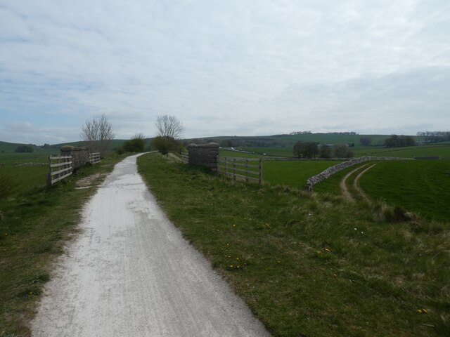
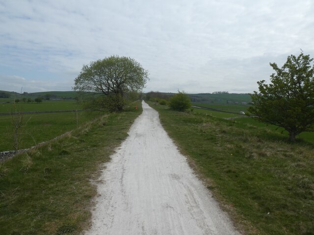
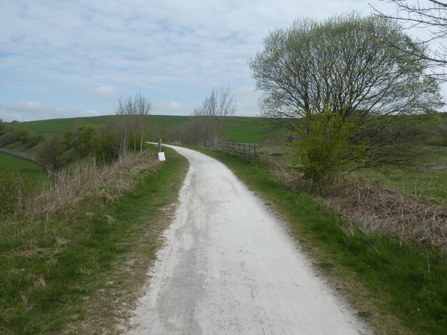
Alsop Moor Plantation offers a range of recreational activities for visitors to enjoy. There are several well-maintained walking trails that meander through the woodland, allowing nature enthusiasts and hikers to explore its natural beauty. These paths provide opportunities for birdwatching, photography, and peaceful strolls in a tranquil environment.

The plantation is also home to a diverse array of wildlife, including deer, foxes, and rabbits. The dense vegetation and ample food sources attract these animals, making it a popular spot for wildlife enthusiasts and photographers.

Alsop Moor Plantation is managed by local authorities and conservation organizations to ensure the preservation of its natural habitat. Efforts are made to maintain a healthy ecosystem and encourage sustainable forestry practices.

Overall, Alsop Moor Plantation offers a peaceful retreat for nature lovers, with its scenic landscapes, diverse wildlife, and well-maintained trails providing a delightful experience for visitors.

If you have any feedback on the listing, please let us know in the comments section below.

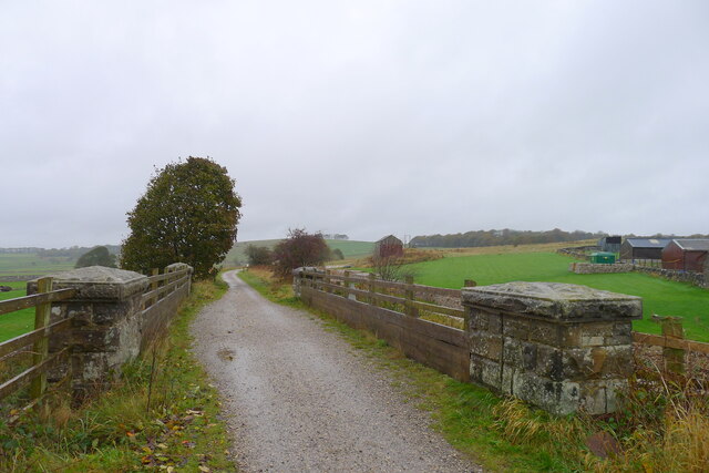
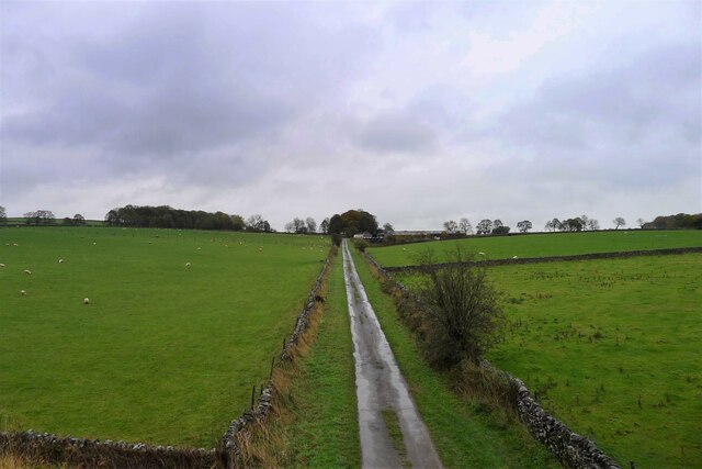
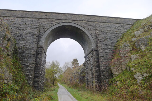
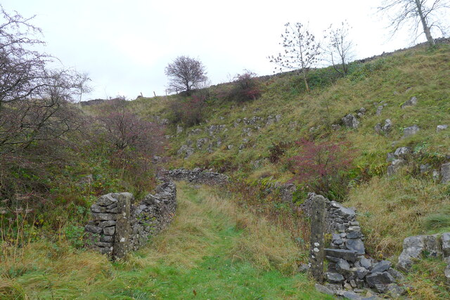
Alsop Moor Plantation Images

Images are sourced within 2km of 53.113914/-1.7532295 or Grid Reference SK1657. Thanks to Geograph Open Source API. All images are credited.

Early morning view northwest to Biggin from field path
Tissington Trail crossing the Road from Biggin The trail crosses the minor road between Biggin and the A515
Tissington Trail crossing the Road from Biggin
The trail crosses the minor road between Biggin and the A515
Remains of Former Prisoner of War Huts near Biggin Housed Italian Prisoners of War - as seen from the Tissington Trail
Remains of Former Prisoner of War Huts near Biggin
Housed Italian Prisoners of War - as seen from the Tissington Trail
On the Tissington Traill The trail just to the north of Back Lane
On the Tissington Traill
The trail just to the north of Back Lane
Single Arched Viaduct over the Tissington Trail A grand structure supporting a track that gives access between fields - spanning the Tissington Trail as it passes through a cutting.
Single Arched Viaduct over the Tissington Trail
A grand structure supporting a track that gives access between fields - spanning the Tissington Trail as it passes through a cutting.
Cutting on the Tissington Trail Section of the leisure trail, popular among cyclists, horse riders and the walking fraternity - once part of the railway link between Buxton and Ashbourne
Cutting on the Tissington Trail
Section of the leisure trail, popular among cyclists, horse riders and the walking fraternity - once part of the railway link between Buxton and Ashbourne
Tissington Trail crossing Liffs Road The former railway heading north towards Johnson's Knoll - topped by a stand of trees.
Tissington Trail crossing Liffs Road
The former railway heading north towards Johnson's Knoll - topped by a stand of trees.
Liffs Road approaching the A515 As seen from the former railway bridge that carries the Tissington Trail across Liffs Road
Liffs Road approaching the A515
As seen from the former railway bridge that carries the Tissington Trail across Liffs Road
The Tissington Trail The track bed of the former London and North Western Railway (Ashbourne to Buxton) crossing a minor road
The Tissington Trail
The track bed of the former London and North Western Railway (Ashbourne to Buxton) crossing a minor road
Back Lane leading to Bigginmoor Farm Viewed from the Tissington Trail
Back Lane leading to Bigginmoor Farm
Viewed from the Tissington Trail
Bridge over the former Ashbourne to Buxton railway Looking at old OS maps this bridge, built at the end of the 19th century, has never carried any substantial road or track. It seems to be a very expensive structure if its only purpose was to connect farmland on either side of the railway.
Bridge over the former Ashbourne to Buxton railway
Looking at old OS maps this bridge, built at the end of the 19th century, has never carried any substantial road or track. It seems to be a very expensive structure if its only purpose was to connect farmland on either side of the railway.
Entrance to old track leading off the former Ashbourne to Buxton railway line The track gave access to a quarry on the other side of the line
Entrance to old track leading off the former Ashbourne to Buxton railway line
The track gave access to a quarry on the other side of the line
Walkers on the road past Lees Barn The group was on its way to join the Tissington Trail
Walkers on the road past Lees Barn
The group was on its way to join the Tissington Trail
Field beside Eatondale Wood On the footpath from Parwich walkers are passing Eatondale Wood.
Field beside Eatondale Wood
On the footpath from Parwich walkers are passing Eatondale Wood.
Tissington Trail On the Tissington Trail close to the River Dove.
Tissington Trail
On the Tissington Trail close to the River Dove.
Embankment on Tissington Trail near Nettle Knowe The route is crossing a farm access bridge
Embankment on Tissington Trail near Nettle Knowe
The route is crossing a farm access bridge
Lone tree by Tissington Trail This is a 13 mile leisure track from Ashbourne in the south to Parsley Hay in the north, where it joins the High Peak Trail. It is in joint usage as a cycling trail, a bridleway and a walking route. 
The Tissington Trail used to be part of the former railway between Ashbourne and Buxton.
The Pennine Bridleway has adopted part of the northern portion of the  route.
Lone tree by Tissington Trail
This is a 13 mile leisure track from Ashbourne in the south to Parsley Hay in the north, where it joins the High Peak Trail. It is in joint usage as a cycling trail, a bridleway and a walking route. The Tissington Trail used to be part of the former railway between Ashbourne and Buxton. The Pennine Bridleway has adopted part of the northern portion of the route.
Bridge railings by Tissington Trail crossing Liffs Road This is a 13 mile leisure track from Ashbourne in the south to Parsley Hay in the north, where it joins the High Peak Trail. It is in joint usage as a cycling trail, a bridleway and a walking route. 
The Tissington Trail used to be part of the former railway between Ashbourne and Buxton.
The Pennine Bridleway has adopted part of the northern portion of the  route.
Bridge railings by Tissington Trail crossing Liffs Road
This is a 13 mile leisure track from Ashbourne in the south to Parsley Hay in the north, where it joins the High Peak Trail. It is in joint usage as a cycling trail, a bridleway and a walking route. The Tissington Trail used to be part of the former railway between Ashbourne and Buxton. The Pennine Bridleway has adopted part of the northern portion of the route.
Show me another place!

Alsop Moor Plantation is located at Grid Ref: SK1657 (Lat: 53.113914, Lng: -1.7532295)

Administrative County: Derbyshire

District: Derbyshire Dales

Police Authority: Derbyshire

What 3 Words

///repaid.rave.monk. Near Newhaven, Derbyshire

Related Wikis

Eaton and Alsop

Eaton and Alsop is a civil parish within the Derbyshire Dales district, in the county of Derbyshire, England. Largely rural, Along with the adjacent Newton...

Biggin (Dovedale and Parwich Ward)

Biggin is a village in the Derbyshire Dales district of Derbyshire, England. It is part of the Hartington Nether Quarter parish, and is in the Peak District...

Alsop en le Dale

Alsop en le Dale is a village in Derbyshire, England about 5 miles (8.0 km) north of Ashbourne close to the Staffordshire border, and a mile from Dovedale...

Gotham Curve

The Gotham Curve was once the sharpest curve on any standard gauge railway line in the UK. The curve, which was situated in the sparsely populated, exposed...

St Michael and All Angels' Church, Alsop-en-le-Dale

St Michael and all Angels' Church, Alsop en le Dale is a Grade II listed parish church in the Church of England in Alsop en le Dale, Derbyshire. ��2�...

Tissington Trail

The Tissington Trail is a bridleway, footpath and cycleway in Derbyshire, England, along part of the trackbed of the former railway line connecting Ashbourne...

Alsop en le Dale railway station

Alsop en le Dale railway station was opened in 1899 near Alsop en le Dale and Alstonefield, villages in Derbyshire southeast of Buxton. It was on the...

Newhaven, Derbyshire

Newhaven is a hamlet in the county of Derbyshire, England, east of Hartington and west of Cromford. The principal employer in the area is DSF Refractories...

Nearby Amenities

Located within 500m of 53.113914,-1.7532295
Barrier: stile
Lat/Long: 53.1174983/-1.7498584
The data included in this document is from www.openstreetmap.org. The data is made available under ODbL.

Have you been to Alsop Moor Plantation?

Leave your review of Alsop Moor Plantation below (or comments, questions and feedback).