Hawks Low

Heritage Site in Derbyshire Derbyshire Dales

England

Hawks Low

On the Tissington Traill The trail just to the north of Back Lane
On the Tissington Traill Credit: Chris Heaton

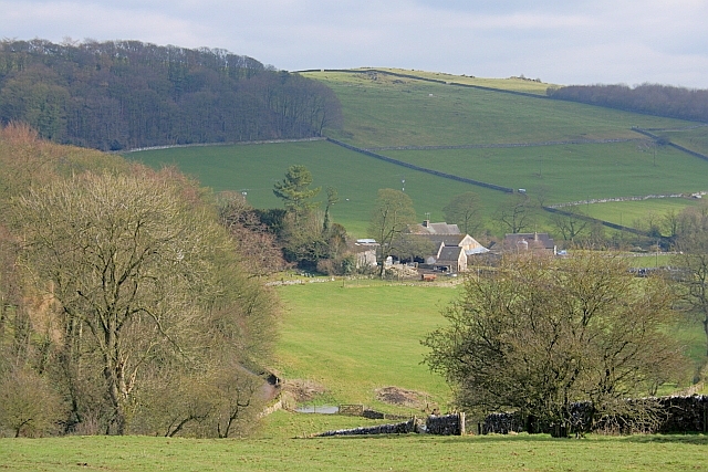
Hawks Low is a unique and historically significant heritage site located in Derbyshire, England. Situated in the heart of the Peak District National Park, this site is renowned for its exceptional archaeological remains and captivating natural beauty.

Dating back to the Neolithic period, Hawks Low is home to an extensive Bronze Age barrow cemetery, consisting of at least 23 mounds. These barrows were used as burial sites and provide crucial insights into the rituals and customs of the people who inhabited the region over 4,000 years ago. The barrows vary in size and shape, with some reaching up to 30 meters in diameter.

The site is also home to a well-preserved Iron Age hillfort, which offers breathtaking panoramic views of the surrounding landscape. The hillfort is believed to have served as a defensive structure and a place of settlement during this era.

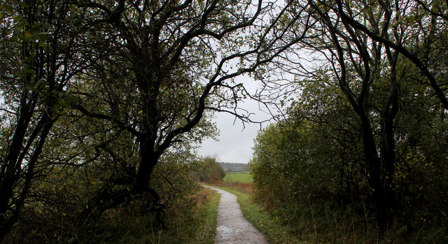
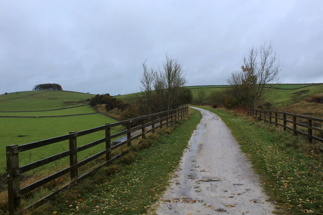
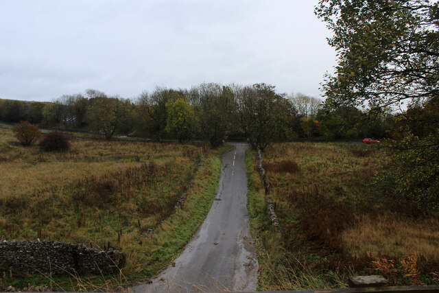
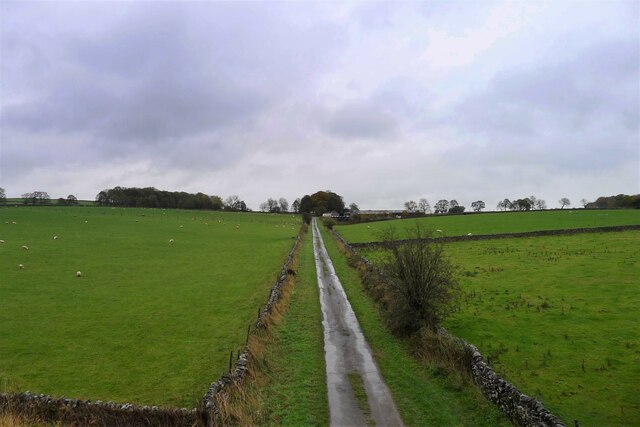
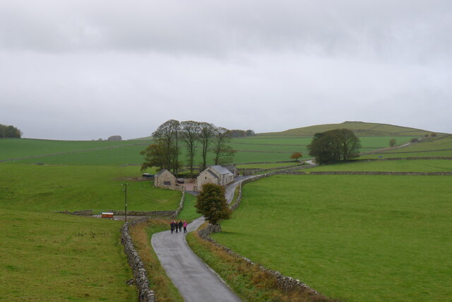
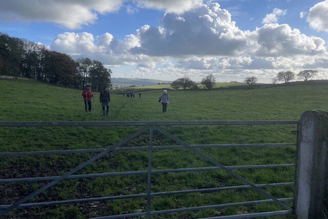
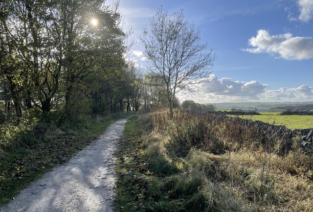
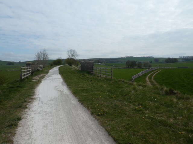
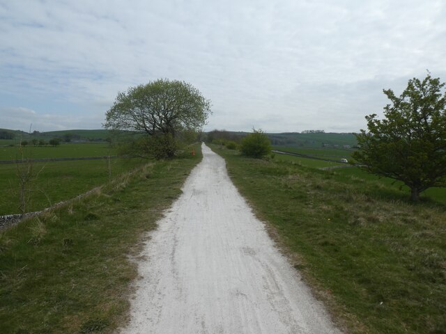
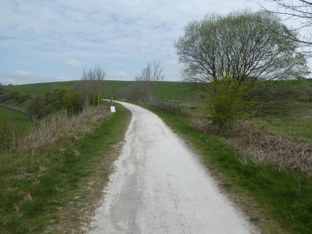
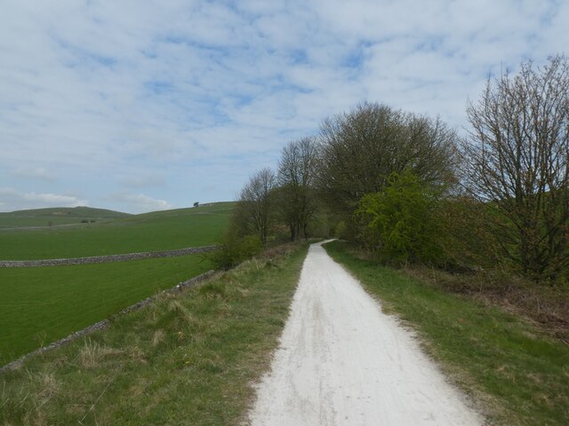
Visitors to Hawks Low can explore these fascinating archaeological features through a network of well-maintained footpaths and trails. Interpretive signage and information boards provide historical context and educate visitors about the significance of the site.

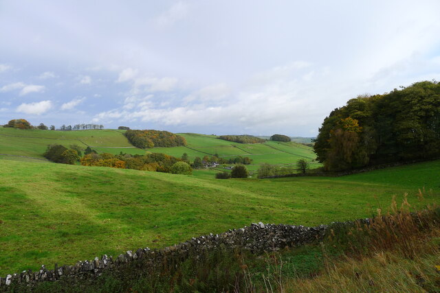
In addition to its historical importance, Hawks Low is renowned for its diverse range of flora and fauna. The site supports a variety of habitats, including heathland, woodland, and wet meadows, making it an ideal location for nature enthusiasts and wildlife lovers.

Overall, Hawks Low is a captivating heritage site that offers a unique and immersive experience for visitors, combining history, archaeology, and natural beauty in one remarkable location.

If you have any feedback on the listing, please let us know in the comments section below.

Hawks Low Images

Images are sourced within 2km of 53.1076/-1.7473 or Grid Reference SK1657. Thanks to Geograph Open Source API. All images are credited.

On the Tissington Traill The trail just to the north of Back Lane
On the Tissington Traill
The trail just to the north of Back Lane
Single Arched Viaduct over the Tissington Trail A grand structure supporting a track that gives access between fields - spanning the Tissington Trail as it passes through a cutting.
Single Arched Viaduct over the Tissington Trail
A grand structure supporting a track that gives access between fields - spanning the Tissington Trail as it passes through a cutting.
Cutting on the Tissington Trail Section of the leisure trail, popular among cyclists, horse riders and the walking fraternity - once part of the railway link between Buxton and Ashbourne
Cutting on the Tissington Trail
Section of the leisure trail, popular among cyclists, horse riders and the walking fraternity - once part of the railway link between Buxton and Ashbourne
Tissington Trail crossing Liffs Road The former railway heading north towards Johnson's Knoll - topped by a stand of trees.
Tissington Trail crossing Liffs Road
The former railway heading north towards Johnson's Knoll - topped by a stand of trees.
Liffs Road approaching the A515 As seen from the former railway bridge that carries the Tissington Trail across Liffs Road
Liffs Road approaching the A515
As seen from the former railway bridge that carries the Tissington Trail across Liffs Road
Back Lane leading to Bigginmoor Farm Viewed from the Tissington Trail
Back Lane leading to Bigginmoor Farm
Viewed from the Tissington Trail
Bridge over the former Ashbourne to Buxton railway Looking at old OS maps this bridge, built at the end of the 19th century, has never carried any substantial road or track. It seems to be a very expensive structure if its only purpose was to connect farmland on either side of the railway.
Bridge over the former Ashbourne to Buxton railway
Looking at old OS maps this bridge, built at the end of the 19th century, has never carried any substantial road or track. It seems to be a very expensive structure if its only purpose was to connect farmland on either side of the railway.
Entrance to old track leading off the former Ashbourne to Buxton railway line The track gave access to a quarry on the other side of the line
Entrance to old track leading off the former Ashbourne to Buxton railway line
The track gave access to a quarry on the other side of the line
Walkers on the road past Lees Barn The group was on its way to join the Tissington Trail
Walkers on the road past Lees Barn
The group was on its way to join the Tissington Trail
Alsop en le Dale from the Tissington Trail
Track from Middlehill Farm Crossing the farm track on the public footpath from Parwich.
Track from Middlehill Farm
Crossing the farm track on the public footpath from Parwich.
Field beside Eatondale Wood On the footpath from Parwich walkers are passing Eatondale Wood.
Field beside Eatondale Wood
On the footpath from Parwich walkers are passing Eatondale Wood.
Tissington Trail On the Tissington Trail close to the River Dove.
Tissington Trail
On the Tissington Trail close to the River Dove.
Embankment on Tissington Trail near Nettle Knowe The route is crossing a farm access bridge
Embankment on Tissington Trail near Nettle Knowe
The route is crossing a farm access bridge
Lone tree by Tissington Trail This is a 13 mile leisure track from Ashbourne in the south to Parsley Hay in the north, where it joins the High Peak Trail. It is in joint usage as a cycling trail, a bridleway and a walking route. 
The Tissington Trail used to be part of the former railway between Ashbourne and Buxton.
The Pennine Bridleway has adopted part of the northern portion of the  route.
Lone tree by Tissington Trail
This is a 13 mile leisure track from Ashbourne in the south to Parsley Hay in the north, where it joins the High Peak Trail. It is in joint usage as a cycling trail, a bridleway and a walking route. The Tissington Trail used to be part of the former railway between Ashbourne and Buxton. The Pennine Bridleway has adopted part of the northern portion of the route.
Bridge railings by Tissington Trail crossing Liffs Road This is a 13 mile leisure track from Ashbourne in the south to Parsley Hay in the north, where it joins the High Peak Trail. It is in joint usage as a cycling trail, a bridleway and a walking route. 
The Tissington Trail used to be part of the former railway between Ashbourne and Buxton.
The Pennine Bridleway has adopted part of the northern portion of the  route.
Bridge railings by Tissington Trail crossing Liffs Road
This is a 13 mile leisure track from Ashbourne in the south to Parsley Hay in the north, where it joins the High Peak Trail. It is in joint usage as a cycling trail, a bridleway and a walking route. The Tissington Trail used to be part of the former railway between Ashbourne and Buxton. The Pennine Bridleway has adopted part of the northern portion of the route.
Tissington Trail and Johnson's Knoll The Knoll is the rounded hill, partly hidden by the trees on the left
Tissington Trail and Johnson's Knoll
The Knoll is the rounded hill, partly hidden by the trees on the left
Tissington Trail in cutting east of Johnson's Knoll This is a 13 mile leisure track from Ashbourne in the south to Parsley Hay in the north, where it joins the High Peak Trail. It is in joint usage as a cycling trail, a bridleway and a walking route. 
The Tissington Trail used to be part of the former railway between Ashbourne and Buxton.
The Pennine Bridleway has adopted part of the northern portion of the  route.
Tissington Trail in cutting east of Johnson's Knoll
This is a 13 mile leisure track from Ashbourne in the south to Parsley Hay in the north, where it joins the High Peak Trail. It is in joint usage as a cycling trail, a bridleway and a walking route. The Tissington Trail used to be part of the former railway between Ashbourne and Buxton. The Pennine Bridleway has adopted part of the northern portion of the route.
Show me another place!

Hawks Low is located at Grid Ref: SK1657 (Lat: 53.1076, Lng: -1.7473)

Administrative County: Derbyshire

District: Derbyshire Dales

Police Authority: Derbyshire

What 3 Words

///scrum.revised.eliminate. Near Newhaven, Derbyshire

Related Wikis

Eaton and Alsop

Eaton and Alsop is a civil parish within the Derbyshire Dales district, in the county of Derbyshire, England. Largely rural, Along with the adjacent Newton...

Alsop en le Dale

Alsop en le Dale is a village in Derbyshire, England about 5 miles (8.0 km) north of Ashbourne close to the Staffordshire border, and a mile from Dovedale...

St Michael and All Angels' Church, Alsop-en-le-Dale

St Michael and all Angels' Church, Alsop en le Dale is a Grade II listed parish church in the Church of England in Alsop en le Dale, Derbyshire. ��2�...
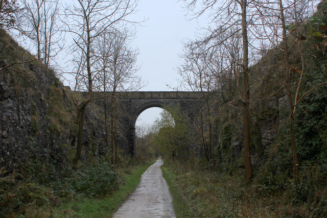
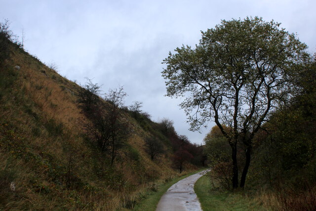
Tissington Trail

The Tissington Trail is a bridleway, footpath and cycleway in Derbyshire, England, along part of the trackbed of the former railway line connecting Ashbourne...

Alsop en le Dale railway station

Alsop en le Dale railway station was opened in 1899 near Alsop en le Dale and Alstonefield, villages in Derbyshire southeast of Buxton. It was on the...

Gotham Curve

The Gotham Curve was once the sharpest curve on any standard gauge railway line in the UK. The curve, which was situated in the sparsely populated, exposed...
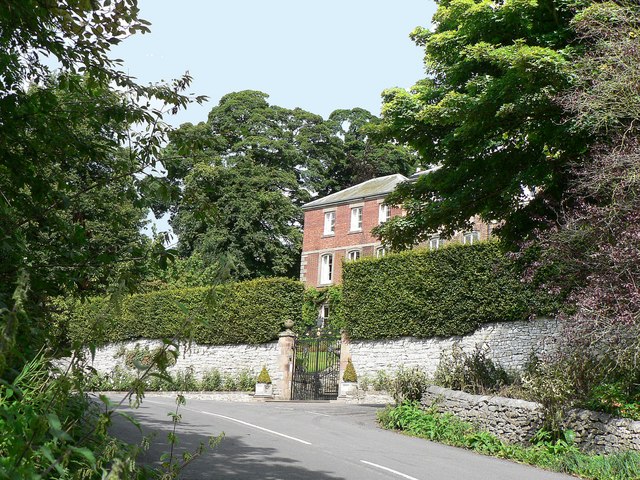
Parwich Hall

Parwich Hall is a privately owned 18th-century mansion house at Parwich, near Ashbourne, Derbyshire Dales. It is a Grade II* listed building.The Manor...

Parwich

Parwich is a village and parish in the Derbyshire Dales, 7 miles north of Ashbourne. In the 2011 census the population of the civil parish was 472.Village...

Nearby Amenities

Located within 500m of 53.1076,-1.7473
The data included in this document is from www.openstreetmap.org. The data is made available under ODbL.

Have you been to Hawks Low?

Leave your review of Hawks Low below (or comments, questions and feedback).