Cuckoo Copse

Wood, Forest in Hampshire New Forest

England

Cuckoo Copse

Ibsley Bridge, 1926, view North By comparing with a 2010 photo <a href="https://www.geograph.org.uk/photo/1803581">SU1409 : Ibsley Bridge</a> this is the West end of the bridge, looking upstream.
Ibsley Bridge, 1926, view North Credit: John A Hawgood

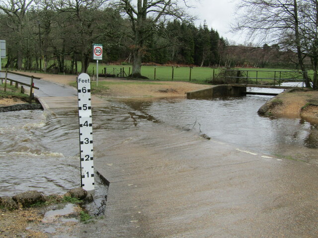
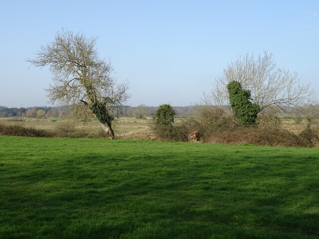
Cuckoo Copse, located in Hampshire, England, is a charming woodland area known for its natural beauty and tranquil atmosphere. Spanning over several acres, this picturesque forest is a popular destination for nature enthusiasts and outdoor lovers.

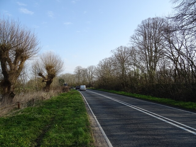
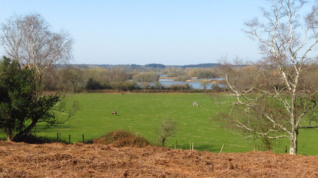
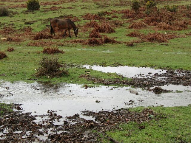
The copse is characterized by its dense canopy of trees, primarily consisting of oak, beech, and ash. The trees create a mesmerizing green canopy that filters the sunlight, casting dappled shadows on the forest floor. The woodland is also home to a variety of wildlife, including birds, squirrels, and deer, which can often be spotted roaming freely in their natural habitat.

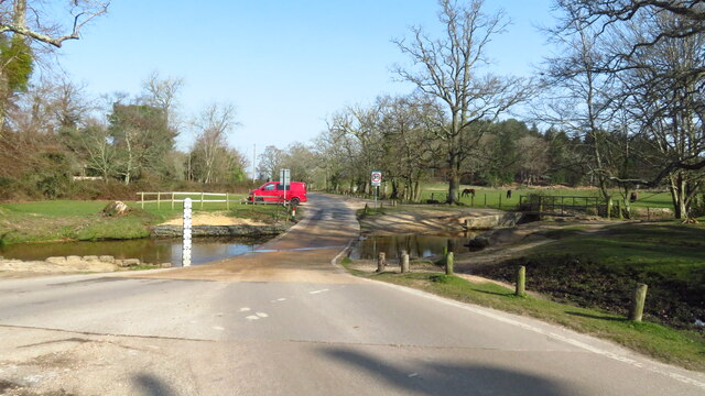
Visitors to Cuckoo Copse can enjoy a peaceful walk along the well-maintained trails that wind through the woods. These paths offer opportunities to observe the diverse flora and fauna of the area, with wildflowers blooming in abundance during the spring and summer months. The copse is particularly renowned for its vibrant bluebells, which create a stunning carpet of color in late April and early May.

In addition to its natural beauty, Cuckoo Copse offers recreational facilities such as picnic areas and benches, making it an ideal spot for families and groups to relax and enjoy a leisurely day out. The copse is also a popular destination for birdwatching enthusiasts, with a wide variety of bird species to be spotted throughout the year.

Overall, Cuckoo Copse is a hidden gem in Hampshire, offering visitors a peaceful retreat amidst the beauty of nature. Whether it's a leisurely stroll, a picnic with loved ones, or observing wildlife, this enchanting woodland has something to offer for everyone seeking solace in the great outdoors.

If you have any feedback on the listing, please let us know in the comments section below.
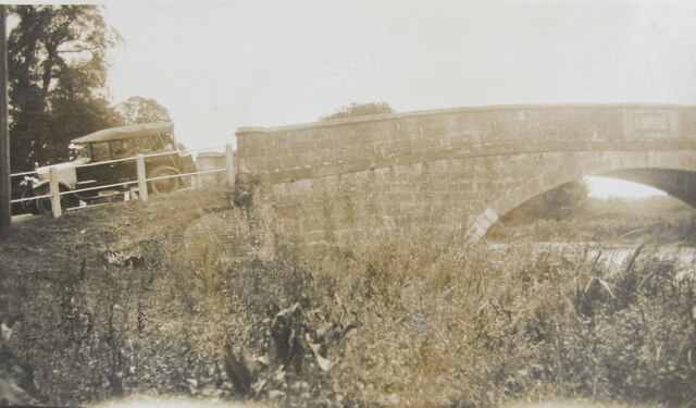
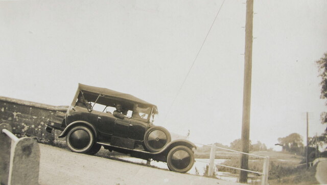
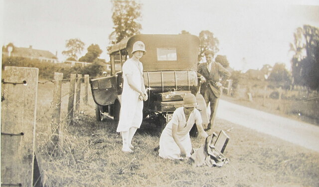
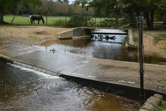
Cuckoo Copse Images

Images are sourced within 2km of 50.892388/-1.7650971 or Grid Reference SU1610. Thanks to Geograph Open Source API. All images are credited.

Ibsley Bridge, 1926, view North By comparing with a 2010 photo <a href="https://www.geograph.org.uk/photo/1803581">SU1409 : Ibsley Bridge</a> this is the West end of the bridge, looking upstream.
Ibsley Bridge, 1926, view North
By comparing with a 2010 photo SU1409 : Ibsley Bridge this is the West end of the bridge, looking upstream.
Car on Ibsley Bridge, 1926, view South The car was parked on the bridge at the Western end.
Car on Ibsley Bridge, 1926, view South
The car was parked on the bridge at the Western end.
Picnic by Ibsley Bridge, 1926 A group of students packing up after lunch. In 1926 a car could just stop and park on the grass verge within yards of the bridge, this is the view from the bridge looking West.
Picnic by Ibsley Bridge, 1926
A group of students packing up after lunch. In 1926 a car could just stop and park on the grass verge within yards of the bridge, this is the view from the bridge looking West.
Ford near Moyles Court
Former St Martin's Church
House in Ibsley
House in Ibsley
The Old Beams Inn
The Old Beams Inn
Sign for the Old Beams Inn
Salisbury Road (A338)
Ford at Dockens Water, Rockford
View across fields towards gravel pits, Avon Valley from Avon Valley Path, Mockbeggar
Trig Point at Whitefield Plantation, Mockbeggar
Rockford - Ford By Moyles Court, the Dockens Water was flowing swiftly over the ford after a night of heavy rain. Note the adjacent footbridge for dry pedestrian passage.
Rockford - Ford
By Moyles Court, the Dockens Water was flowing swiftly over the ford after a night of heavy rain. Note the adjacent footbridge for dry pedestrian passage.
Rockford - Ford By Moyles Court, the Dockens Water was flowing swiftly over the ford after a night of heavy rain. An adjacent footbridge gives dry pedestrian passage past the watersplash.
Rockford - Ford
By Moyles Court, the Dockens Water was flowing swiftly over the ford after a night of heavy rain. An adjacent footbridge gives dry pedestrian passage past the watersplash.
Appleslade Bottom New Forest ponies grazing on a valley floor by Linwood.
<span class="nowrap"><a title="www.newforestnpa.gov.uk" rel="nofollow ugc noopener" href="http://www.newforestnpa.gov.uk">Link</a><img style="margin-left:2px;" alt="External link" title="External link - shift click to open in new window" src="https://s1.geograph.org.uk/img/external.png" width="10" height="10"/></span>
Appleslade Bottom
New Forest ponies grazing on a valley floor by Linwood. LinkExternal link
Appleslade Bottom New Forest ponies on a boggy valley bottom by Linwood.
<span class="nowrap"><a title="www.newforestnpa.gov.uk" rel="nofollow ugc noopener" href="http://www.newforestnpa.gov.uk">Link</a><img style="margin-left:2px;" alt="External link" title="External link - shift click to open in new window" src="https://s1.geograph.org.uk/img/external.png" width="10" height="10"/></span>
Appleslade Bottom
New Forest ponies on a boggy valley bottom by Linwood. LinkExternal link
Grazing off the A338
Bend in Salisbury Road (A338)
Show me another place!

Cuckoo Copse is located at Grid Ref: SU1610 (Lat: 50.892388, Lng: -1.7650971)

Administrative County: Hampshire

District: New Forest

Police Authority: Hampshire

What 3 Words

///wealth.confirms.capillary. Near Fordingbridge, Hampshire

Related Wikis

South Gorley

South Gorley is a hamlet in the New Forest National Park of Hampshire, England. It is in the civil parish of Ellingham, Harbridge and Ibsley. Its nearest...

Mockbeggar, Hampshire

Mockbeggar is a hamlet in the New Forest National Park of Hampshire, England. Its nearest town is Ringwood, which lies approximately 3 miles (5.6 km) south...

Ellingham, Harbridge and Ibsley

Ellingham, Harbridge and Ibsley is a civil parish in the west of the English county of Hampshire. The population of the civil parish at the 2011 Census...

Furze Hill

Furze Hill (or Furzehill) is a hamlet situated in the New Forest National Park of Hampshire, England. It is in the civil parish of Ellingham, Harbridge...

Ringwood and Fordingbridge Rural District

Ringwood and Fordingbridge was a rural district in Hampshire from 1932 to 1974.It was formed by the merger of part of the disbanded Christchurch Rural...

Gorley Hill

Gorley Hill is the site of a former Iron Age promontory hillfort located in Hampshire in the United Kingdom. The fort once occupied the southwestern corner...

North Gorley

North Gorley is a hamlet in the New Forest National Park of Hampshire, England. Its nearest town is Fordingbridge, which lies approximately 2 miles (3...

Latchmore Brook

The Latchmore Brook is a significant stream in the New Forest, Hampshire, England. It rises from the elevated gravel plateaus in the north of the Forest...

Nearby Amenities

Located within 500m of 50.892388,-1.7650971
South Gorley
Is In: Hampshire, England, UK
Place: hamlet
Source: npe
Wikidata: Q7567372
Lat/Long: 50.8933196/-1.7704788
Bus Stop
South Gorley Old School
Bus: yes
Naptan AtcoCode: 1900HA081091
Naptan Bearing: SW
Naptan BusStopType: CUS
Naptan CommonName: South Gorley Old School
Naptan NaptanCode: hamadmpd
Naptan Street: Unamed Road by the Green
Naptan Verified: no
Source: naptan_import
Lat/Long: 50.8936777/-1.7708655
Bus Stop
South Gorley Phone Box
Bus: yes
Naptan AtcoCode: 1900HA081092
Naptan Bearing: N
Naptan CommonName: South Gorley Phone Box
Naptan NaptanCode: hamadmjp
Naptan Street: Road by the Green
Naptan Verified: no
Source: naptan_import
Lat/Long: 50.8936779/-1.7709936
Post Box
Operator: Royal Mail
Operator Wikidata: Q638098
Post Box Mounting: brick_pillar
Post Box Type: wall
Postal Code: SP6
Ref: SP6 300
Royal Cypher: GVIR
Lat/Long: 50.8937658/-1.7710044
Barrier: stile
Lat/Long: 50.895988/-1.7629464
Hockeys Farm Shop
Shop: farm
Lat/Long: 50.8922159/-1.7708169
Barrier: stile
Lat/Long: 50.896201/-1.767058
Barrier: kissing_gate
Lat/Long: 50.8965877/-1.7639227
Cafe
Hockeys Farm Shop Cafe
Opening Hours: Mo-Su 09:00-16:30
Outdoor Seating: yes
Lat/Long: 50.8924103/-1.7710548
Little Dibden Bottom
Place: locality
Lat/Long: 50.8930364/-1.7618384
Cuckoo Hill
Place: locality
Lat/Long: 50.8951174/-1.7625126
Robin Hood's Butt
Place: locality
Lat/Long: 50.8953797/-1.7602175
Generator Method: photovoltaic
Generator Output Electricity: yes
Generator Source: solar
Generator Type: solar_photovoltaic_panel
Power: generator
Lat/Long: 50.8916061/-1.7709327
Power: pole
Lat/Long: 50.8911741/-1.7663333
Power: pole
Lat/Long: 50.891118/-1.7647044
Power: pole
Lat/Long: 50.8910416/-1.7630953
Power: pole
Lat/Long: 50.8910859/-1.7642585
Power: pole
Lat/Long: 50.8919028/-1.7643501
Power: pole
Lat/Long: 50.8928124/-1.764037
Power: pole
Lat/Long: 50.8932708/-1.7638771
Power: pole
Lat/Long: 50.8939454/-1.7636234
Power: pole
Lat/Long: 50.8945796/-1.7633309
Power: pole
Lat/Long: 50.8950856/-1.7630886
Power: pole
Lat/Long: 50.8912826/-1.767794
New Town
Place: hamlet
Lat/Long: 50.8900821/-1.7666203
Ford: yes
Lat/Long: 50.8906976/-1.7648287
Information: guidepost
Tourism: information
Lat/Long: 50.8936187/-1.7707686
The data included in this document is from www.openstreetmap.org. The data is made available under ODbL.

Have you been to Cuckoo Copse?

Leave your review of Cuckoo Copse below (or comments, questions and feedback).