Gorley, South
Settlement in Hampshire New Forest
England
Gorley, South
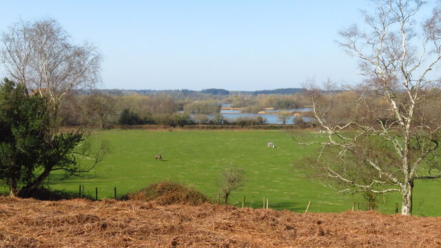
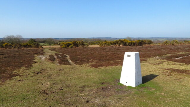
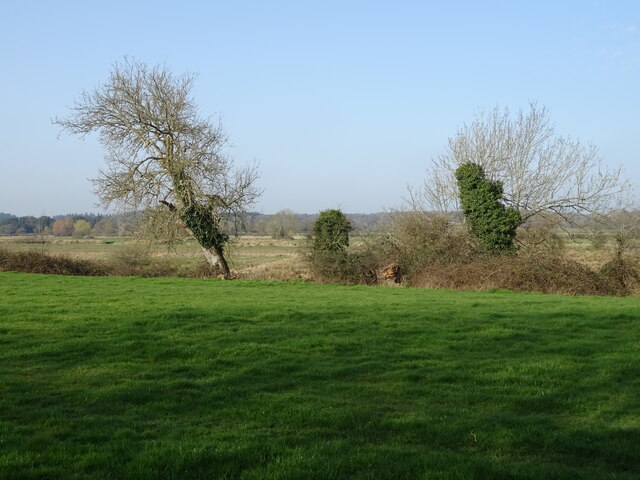
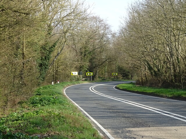
Gorley is a small village located in the civil parish of South Hampshire, England. Situated in the New Forest National Park, it is surrounded by picturesque woodlands, heathlands, and meadows, making it a haven for nature enthusiasts and hikers. The village lies approximately 9 miles west of Southampton and 14 miles northwest of the coastal town of Lymington.
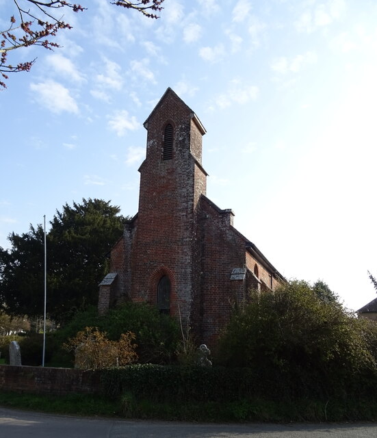
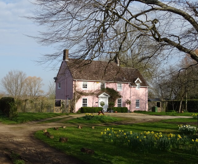
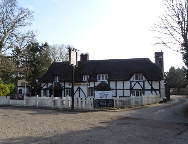
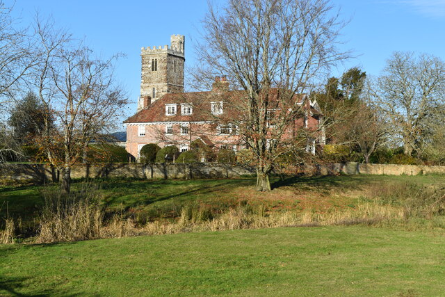
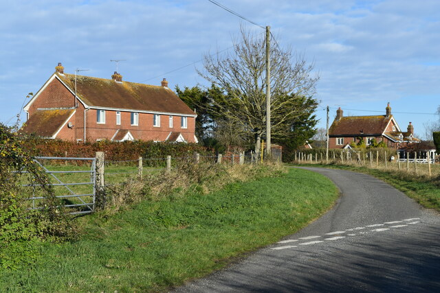
Gorley is known for its tranquil atmosphere and charming rural setting. The thatched cottages, stone houses, and traditional architecture add to its quaint appeal. The village is centered around a small, historic church, St. Mary’s, which dates back to the 12th century and is a popular site for visitors interested in the area's history.
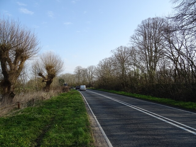
The area is well-known for its equestrian activities, with many riding schools and stables offering lessons and horseback tours of the surrounding countryside. Gorley also boasts a number of walking and cycling trails, allowing visitors to immerse themselves in the natural beauty of the New Forest.
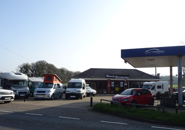
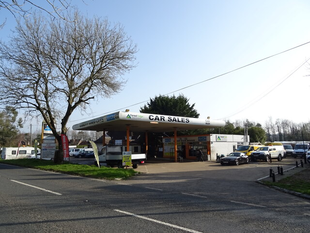
Despite its small size, Gorley offers a range of amenities for residents and visitors alike. There are a few local shops, a post office, and a village hall that hosts community events throughout the year. The nearby town of Fordingbridge provides additional services, including supermarkets, restaurants, and a wider range of shops.
Gorley perfectly encapsulates the charm and tranquility of rural Hampshire, making it an idyllic destination for those seeking a peaceful retreat in the heart of the English countryside.
If you have any feedback on the listing, please let us know in the comments section below.
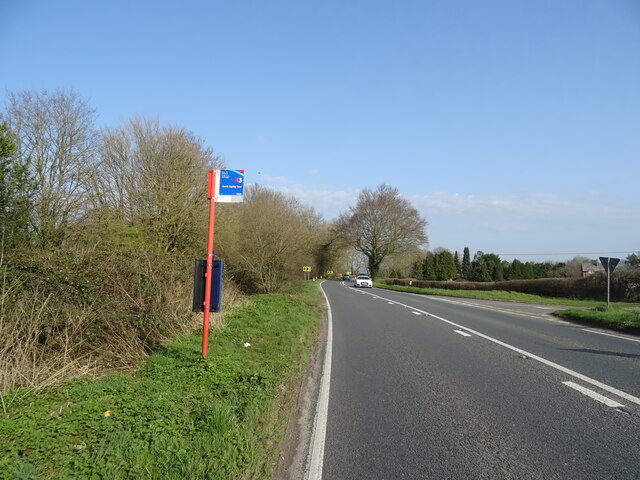
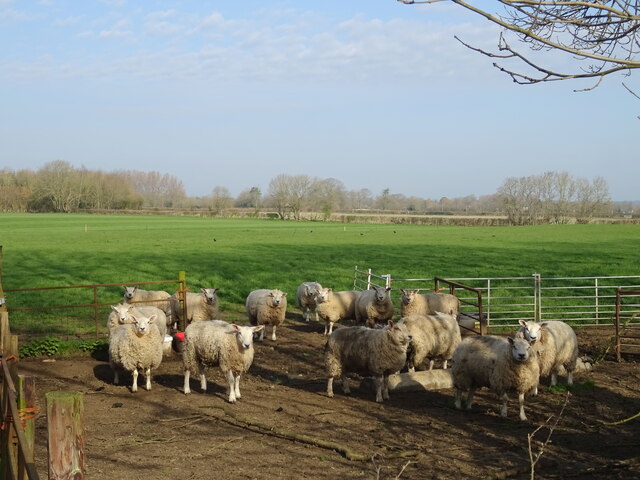
Gorley, South Images
Images are sourced within 2km of 50.894834/-1.77393 or Grid Reference SU1610. Thanks to Geograph Open Source API. All images are credited.
Gorley, South is located at Grid Ref: SU1610 (Lat: 50.894834, Lng: -1.77393)
Administrative County: Hampshire
District: New Forest
Police Authority: Hampshire
What 3 Words
///funky.mile.shun. Near Fordingbridge, Hampshire
Nearby Locations
Related Wikis

North Gorley
North Gorley is a hamlet in the New Forest National Park of Hampshire, England. Its nearest town is Fordingbridge, which lies approximately 2 miles (3...

South Gorley
South Gorley is a hamlet in the New Forest National Park of Hampshire, England. It is in the civil parish of Ellingham, Harbridge and Ibsley. Its nearest...

Ringwood and Fordingbridge Rural District
Ringwood and Fordingbridge was a rural district in Hampshire from 1932 to 1974. It was formed by the merger of part of the disbanded Christchurch Rural...

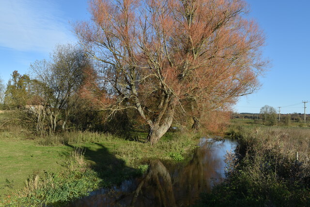
Latchmore Brook
The Latchmore Brook is a significant stream in the New Forest, Hampshire, England. It rises from the elevated gravel plateaus in the north of the Forest...
Nearby Amenities
Located within 500m of 50.894834,-1.77393Have you been to Gorley, South?
Leave your review of Gorley, South below (or comments, questions and feedback).