South Gorley

Settlement in Hampshire New Forest

England

South Gorley

Ibsley Bridge, 1926, view North By comparing with a 2010 photo <a href="https://www.geograph.org.uk/photo/1803581">SU1409 : Ibsley Bridge</a> this is the West end of the bridge, looking upstream.
Ibsley Bridge, 1926, view North Credit: John A Hawgood

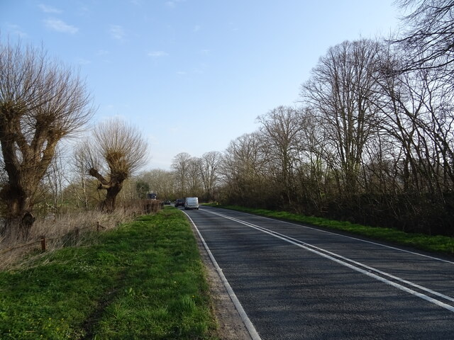
South Gorley is a small village located in the New Forest district of Hampshire, England. Situated approximately 4 miles east of Fordingbridge, it is surrounded by picturesque countryside and is known for its tranquil and rural setting.

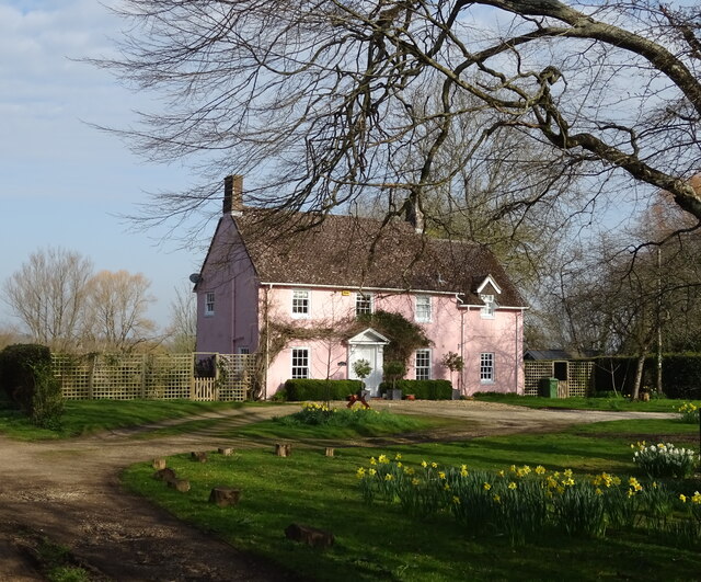
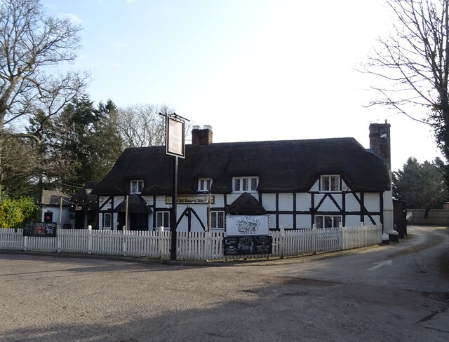
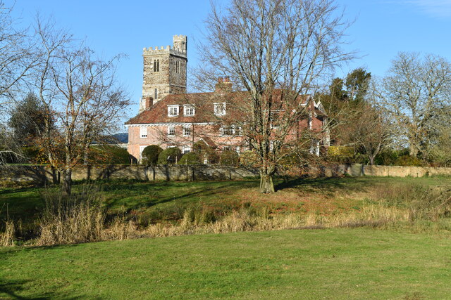
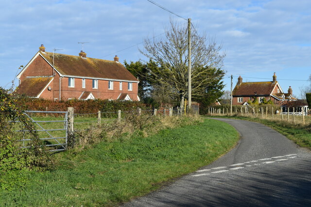
The village itself consists of a small cluster of houses and cottages, many of which feature traditional thatched roofs, giving the area a charming and quaint feel. The architecture reflects the village's rich history, with some buildings dating back several centuries.

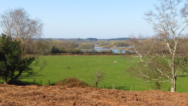
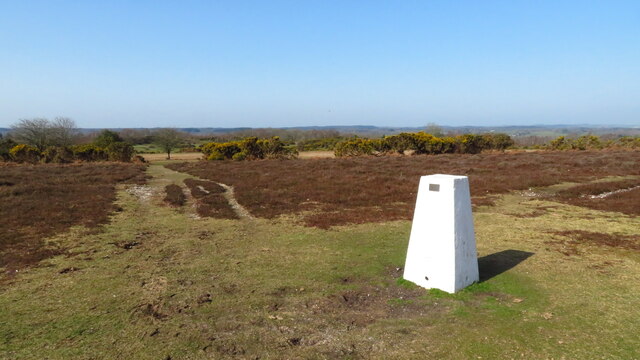
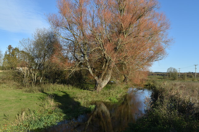
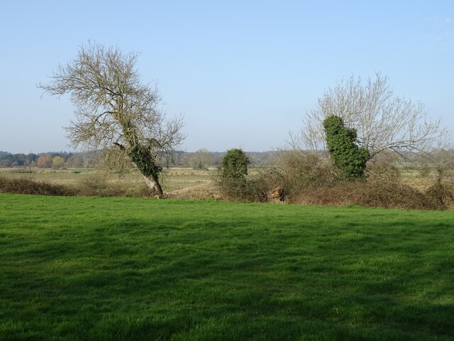
South Gorley is surrounded by beautiful natural landscapes, making it a popular destination for outdoor enthusiasts. It is situated on the edge of the New Forest National Park, providing ample opportunities for walking, cycling, and exploring the stunning woodland areas nearby. Additionally, the nearby River Avon offers opportunities for fishing and boating.

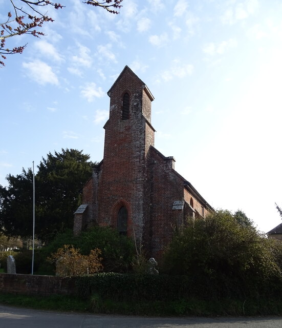
Despite its small size, South Gorley boasts a sense of community with a local village hall hosting various social events and gatherings throughout the year. The village also has a small church, St. Mary's, which adds to its historic character.

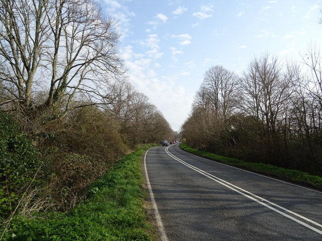
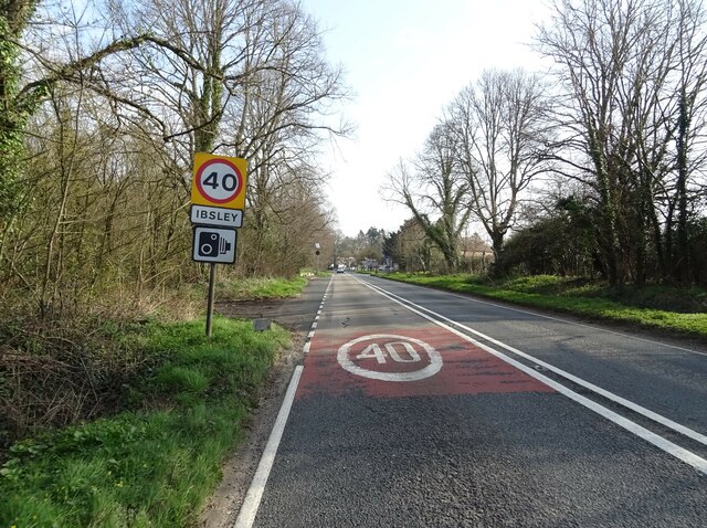
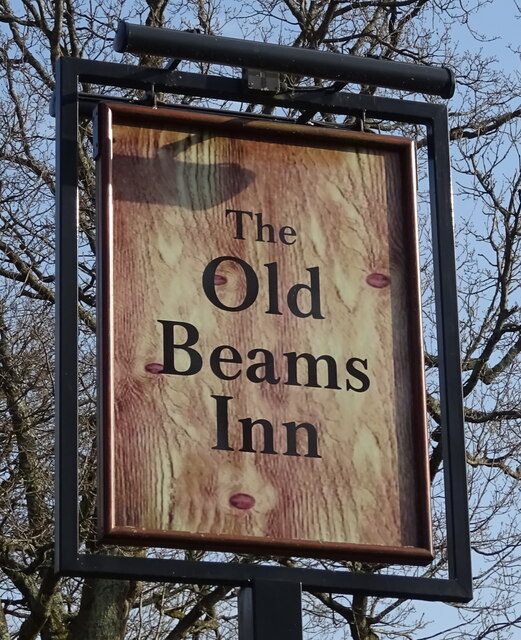
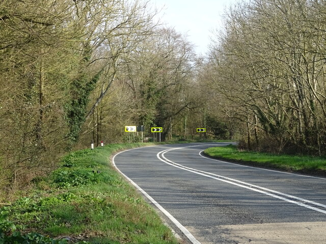
For amenities, residents of South Gorley have access to nearby facilities in Fordingbridge, including shops, pubs, and restaurants. The village is well-connected to surrounding areas by road, with the A338 providing easy access to Salisbury and Bournemouth.

Overall, South Gorley offers a peaceful and idyllic setting, appealing to those seeking a rural lifestyle amidst the beauty of the New Forest.

If you have any feedback on the listing, please let us know in the comments section below.
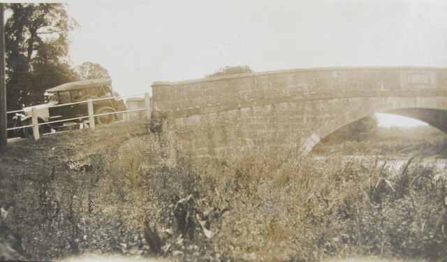
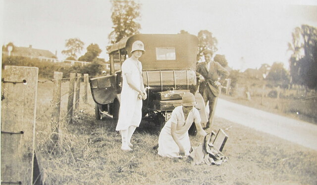
South Gorley Images

Images are sourced within 2km of 50.894834/-1.77393 or Grid Reference SU1610. Thanks to Geograph Open Source API. All images are credited.

Ibsley Bridge, 1926, view North By comparing with a 2010 photo <a href="https://www.geograph.org.uk/photo/1803581">SU1409 : Ibsley Bridge</a> this is the West end of the bridge, looking upstream.
Ibsley Bridge, 1926, view North
By comparing with a 2010 photo SU1409 : Ibsley Bridge this is the West end of the bridge, looking upstream.
Car on Ibsley Bridge, 1926, view South The car was parked on the bridge at the Western end.
Car on Ibsley Bridge, 1926, view South
The car was parked on the bridge at the Western end.
Picnic by Ibsley Bridge, 1926 A group of students packing up after lunch. In 1926 a car could just stop and park on the grass verge within yards of the bridge, this is the view from the bridge looking West.
Picnic by Ibsley Bridge, 1926
A group of students packing up after lunch. In 1926 a car could just stop and park on the grass verge within yards of the bridge, this is the view from the bridge looking West.
Former St Martin's Church
Salisbury Road (A338)
Entering Ibsley on the A338
House in Ibsley
House in Ibsley
The Old Beams Inn
The Old Beams Inn
Sign for the Old Beams Inn
Salisbury Road (A338)
View across fields towards gravel pits, Avon Valley from Avon Valley Path, Mockbeggar
Trig Point at Whitefield Plantation, Mockbeggar
Harbridge House and church
River channel near Harbridge House
Houses at Harbridge Green
Grazing off the A338
Bend in Salisbury Road (A338)
Motorhome sales on Ringwood Road
Show me another place!

South Gorley is located at Grid Ref: SU1610 (Lat: 50.894834, Lng: -1.77393)

Administrative County: Hampshire

District: New Forest

Police Authority: Hampshire

What 3 Words

///funky.mile.shun. Near Fordingbridge, Hampshire

Related Wikis

North Gorley

North Gorley is a hamlet in the New Forest National Park of Hampshire, England. Its nearest town is Fordingbridge, which lies approximately 2 miles (3...

South Gorley

South Gorley is a hamlet in the New Forest National Park of Hampshire, England. It is in the civil parish of Ellingham, Harbridge and Ibsley. Its nearest...

Ringwood and Fordingbridge Rural District

Ringwood and Fordingbridge was a rural district in Hampshire from 1932 to 1974.It was formed by the merger of part of the disbanded Christchurch Rural...

Latchmore Brook

The Latchmore Brook is a significant stream in the New Forest, Hampshire, England. It rises from the elevated gravel plateaus in the north of the Forest...

Gorley Hill

Gorley Hill is the site of a former Iron Age promontory hillfort located in Hampshire in the United Kingdom. The fort once occupied the southwestern corner...

Mockbeggar, Hampshire

Mockbeggar is a hamlet in the New Forest National Park of Hampshire, England. Its nearest town is Ringwood, which lies approximately 3 miles (5.6 km) south...

Furze Hill

Furze Hill (or Furzehill) is a hamlet situated in the New Forest National Park of Hampshire, England. It is in the civil parish of Ellingham, Harbridge...

Ellingham, Harbridge and Ibsley

Ellingham, Harbridge and Ibsley is a civil parish in the west of the English county of Hampshire. The population of the civil parish at the 2011 Census...

Nearby Amenities

Located within 500m of 50.894834,-1.77393
South Gorley
Is In: Hampshire, England, UK
Place: hamlet
Source: npe
Wikidata: Q7567372
Lat/Long: 50.8933196/-1.7704788
Bicycle: yes
Ford: yes
Motor Vehicle: yes
Lat/Long: 50.8971558/-1.7726168
Bus Stop
South Gorley Old School
Bus: yes
Naptan AtcoCode: 1900HA081091
Naptan Bearing: SW
Naptan BusStopType: CUS
Naptan CommonName: South Gorley Old School
Naptan NaptanCode: hamadmpd
Naptan Street: Unamed Road by the Green
Naptan Verified: no
Source: naptan_import
Lat/Long: 50.8936777/-1.7708655
Bus Stop
South Gorley Phone Box
Bus: yes
Naptan AtcoCode: 1900HA081092
Naptan Bearing: N
Naptan CommonName: South Gorley Phone Box
Naptan NaptanCode: hamadmjp
Naptan Street: Road by the Green
Naptan Verified: no
Source: naptan_import
Lat/Long: 50.8936779/-1.7709936
Post Box
Operator: Royal Mail
Operator Wikidata: Q638098
Post Box Mounting: brick_pillar
Post Box Type: wall
Postal Code: SP6
Ref: SP6 300
Royal Cypher: GVIR
Lat/Long: 50.8937658/-1.7710044
Hockeys Farm Shop
Shop: farm
Lat/Long: 50.8922159/-1.7708169
Barrier: cattle_grid
Bicycle: yes
Motorcar: yes
Lat/Long: 50.8907687/-1.7722144
Cafe
Hockeys Farm Shop Cafe
Opening Hours: Mo-Su 09:00-16:30
Outdoor Seating: yes
Lat/Long: 50.8924103/-1.7710548
Waterway: weir
Lat/Long: 50.8967696/-1.7675087
Generator Method: photovoltaic
Generator Output Electricity: yes
Generator Source: solar
Generator Type: solar_photovoltaic_panel
Power: generator
Lat/Long: 50.8916061/-1.7709327
Information: guidepost
Tourism: information
Lat/Long: 50.8936187/-1.7707686
The data included in this document is from www.openstreetmap.org. The data is made available under ODbL.

Have you been to South Gorley?

Leave your review of South Gorley below (or comments, questions and feedback).