Black Strip
Wood, Forest in Northumberland
England
Black Strip
Black Strip is a small village located in the county of Northumberland, England. Situated within the vast expanse of woodlands and forests that characterize the region, it offers a serene and picturesque setting for residents and visitors alike.
Surrounded by dense vegetation and towering trees, Black Strip is renowned for its natural beauty and rich biodiversity. The village is nestled within the Northumberland National Park, which boasts an impressive array of wildlife and scenic landscapes. Lush green meadows, crystal-clear streams, and ancient woodlands contribute to the village's captivating charm.
The area is a paradise for outdoor enthusiasts and nature lovers, providing ample opportunities for hiking, walking, and cycling. The nearby Black Strip Forest offers numerous trails that wind through the woods, allowing visitors to explore the area's enchanting flora and fauna. Birdwatchers flock to the village to catch glimpses of rare species that inhabit the forest.
Despite its seclusion and rural character, Black Strip is not completely isolated. The village is located within a short drive of larger towns and cities, offering residents access to amenities such as schools, shops, and healthcare facilities. Additionally, the village is well-connected by road and public transport, making it easily accessible for those wishing to visit.
In summary, Black Strip in Northumberland is a tranquil village surrounded by woodlands and forests, offering a wealth of natural beauty and outdoor activities. Its idyllic setting and proximity to amenities make it an attractive location for those seeking a peaceful yet connected rural lifestyle.
If you have any feedback on the listing, please let us know in the comments section below.
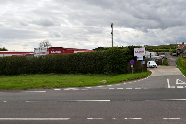
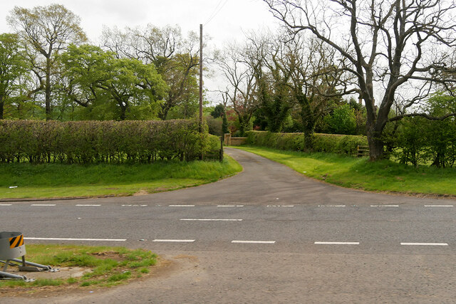
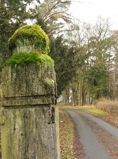
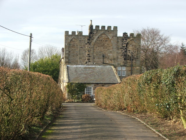
Black Strip Images
Images are sourced within 2km of 55.334434/-1.7396984 or Grid Reference NU1604. Thanks to Geograph Open Source API. All images are credited.


Black Strip is located at Grid Ref: NU1604 (Lat: 55.334434, Lng: -1.7396984)
Unitary Authority: Northumberland
Police Authority: Northumbria
What 3 Words
///confident.sourced.bypassed. Near Felton, Northumberland
Nearby Locations
Related Wikis
Newton Hall, Northumberland
Newton Hall is an 18th-century country house at Newton on the Moor, near Alnwick, Northumberland, England. It is a Grade II listed building. == History... ==
Swarland Old Hall
Swarland Old Hall is a small 17th-century country house at Swarland, Northumberland, England. It is a Grade II* listed building. The Manor of Swarland...
Newton on the Moor
Newton on the Moor is a village and former civil parish in Northumberland, England. It is located 5 miles (8 km) south of Alnwick, on the old route of...
Swarland
Swarland is a small modern village and former civil parish, now in the parish of Newton-on-the-Moor and Swarland, in the county of Northumberland, England...
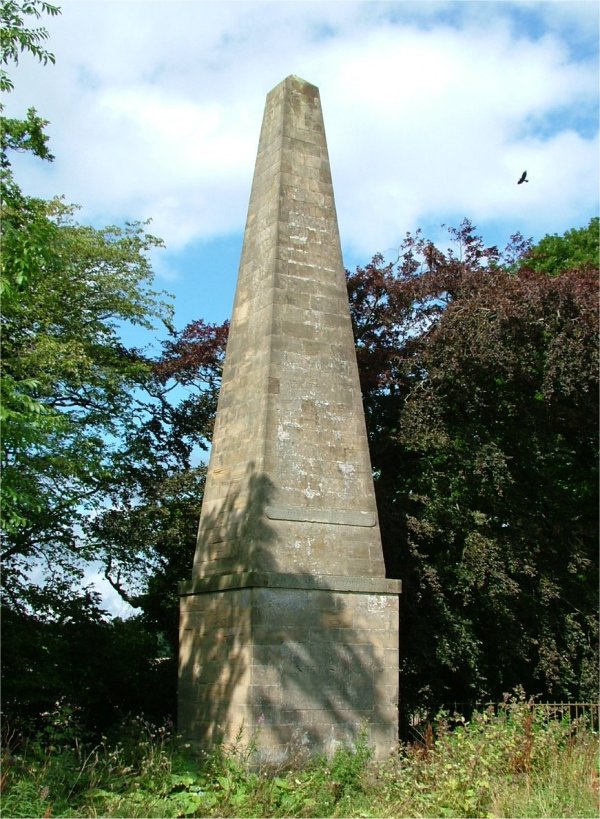
Nelson Memorial, Swarland
The Nelson Memorial, Swarland is a white freestone obelisk at Swarland in north Northumberland, England. Erected in 1807, two years after the death of...

Acklington Park
Acklington Park is a former civil parish, now in the parish of Acklington, Northumberland, England. It was the birthplace of John Rushworth (born c.1612...

Guyzance
Guyzance, historically Guizance, is a small village or hamlet and former civil parish, now in the parish of Acklington, in Northumberland, England. It...

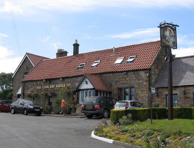
Felton, Northumberland
Felton is a village in Northumberland, North East England, 8.9 miles (14 km) south of Alnwick and 12 miles (19 km) north of Morpeth. The nearest city,...
Nearby Amenities
Located within 500m of 55.334434,-1.7396984Have you been to Black Strip?
Leave your review of Black Strip below (or comments, questions and feedback).