Ash Corner

Wood, Forest in Wiltshire

England

Ash Corner

Cemetery Chapel at Upper Stratton Viewed from the north-east.
Cemetery Chapel at Upper Stratton Credit: Peter Wood

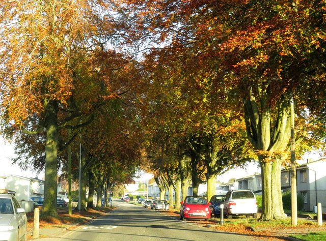
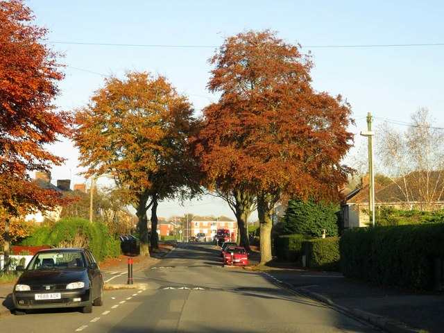
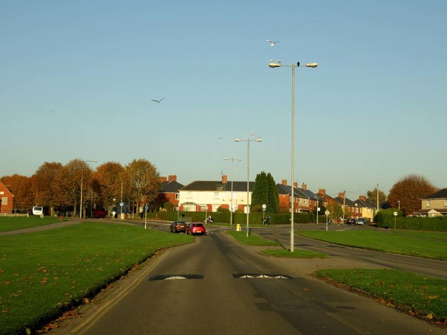
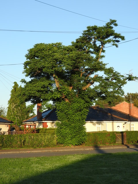
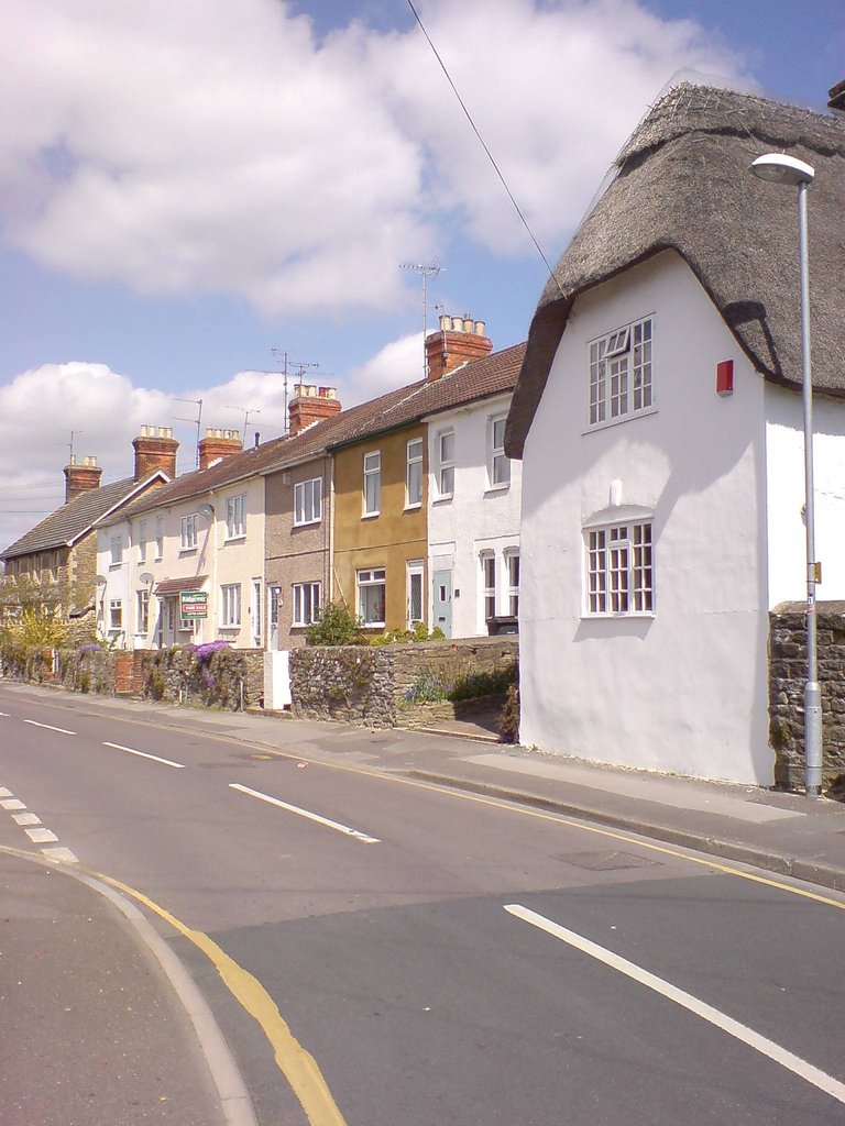
Ash Corner is a small, picturesque village nestled in the heart of Wiltshire, England. Located within the lush woodlands and sprawling forests of the county, it offers a tranquil and idyllic setting for residents and visitors alike. The village is named after the abundance of ash trees that dot the landscape, providing a beautiful backdrop of greenery throughout the year.

With a population of around 500 people, Ash Corner is a close-knit community that exudes a friendly and welcoming atmosphere. The village is characterized by its charming cottages, which showcase traditional architecture and are often adorned with colorful gardens bursting with flowers. The sense of history is palpable, with some homes dating back several centuries.

Surrounded by dense woodlands, Ash Corner is a haven for nature lovers and outdoor enthusiasts. The extensive forest trails and footpaths offer ample opportunities for hiking, cycling, and exploring the rich biodiversity of the area. The village is also home to a small nature reserve, which serves as a sanctuary for local wildlife, including deer, badgers, and a wide variety of bird species.

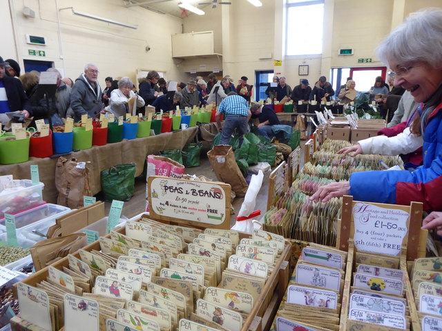
Despite its secluded location, Ash Corner is not lacking in amenities. The village boasts a village hall, a primary school, and a quaint country pub, which serves as a hub for socializing and community events. Additionally, a weekly farmers' market showcases the best local produce, providing residents with an opportunity to support local businesses.

In summary, Ash Corner is a charming village in Wiltshire, renowned for its beautiful woodlands, friendly community, and abundance of natural beauty. It offers a peaceful and serene lifestyle, making it an ideal retreat for those seeking a slower pace of life in a stunning rural setting.

If you have any feedback on the listing, please let us know in the comments section below.
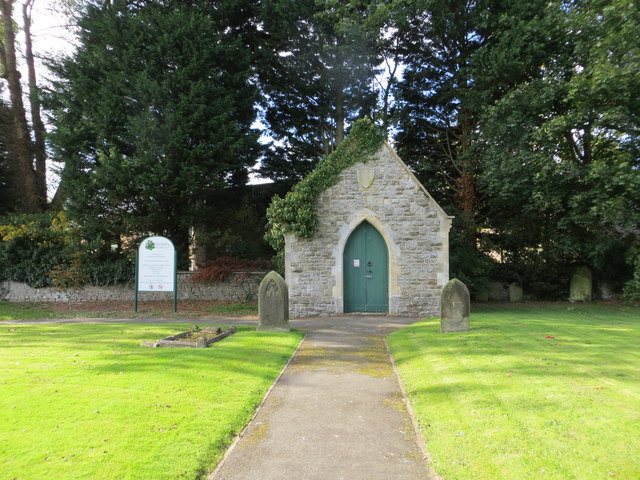
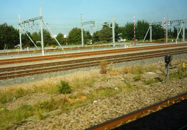
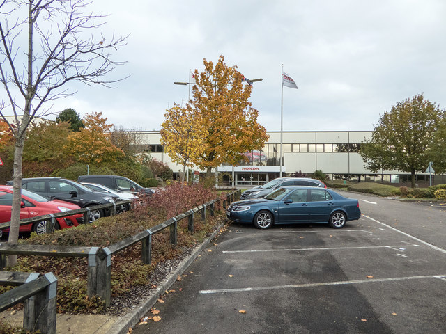
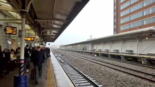
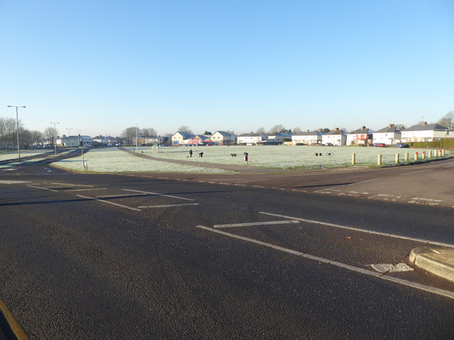
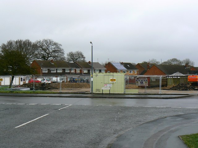
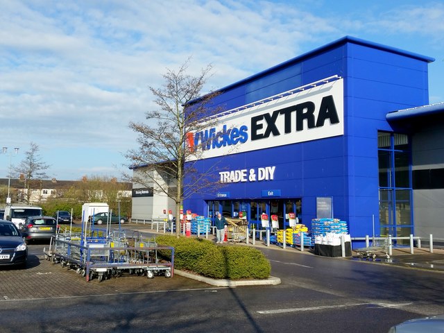
Ash Corner Images

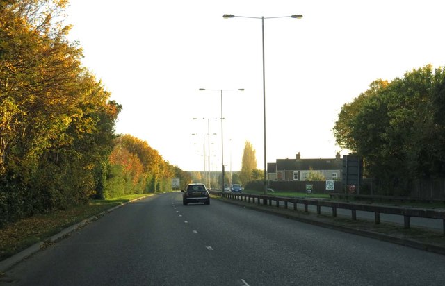
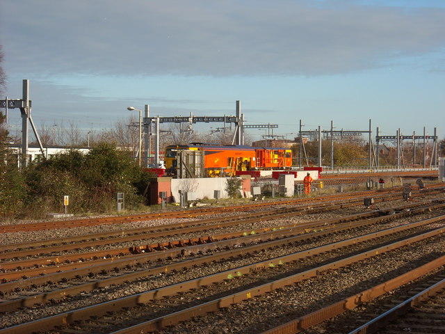
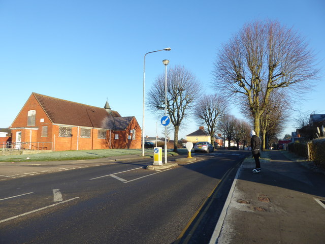
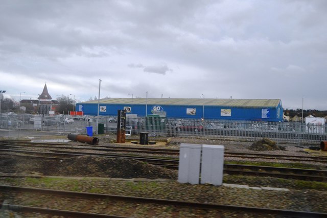
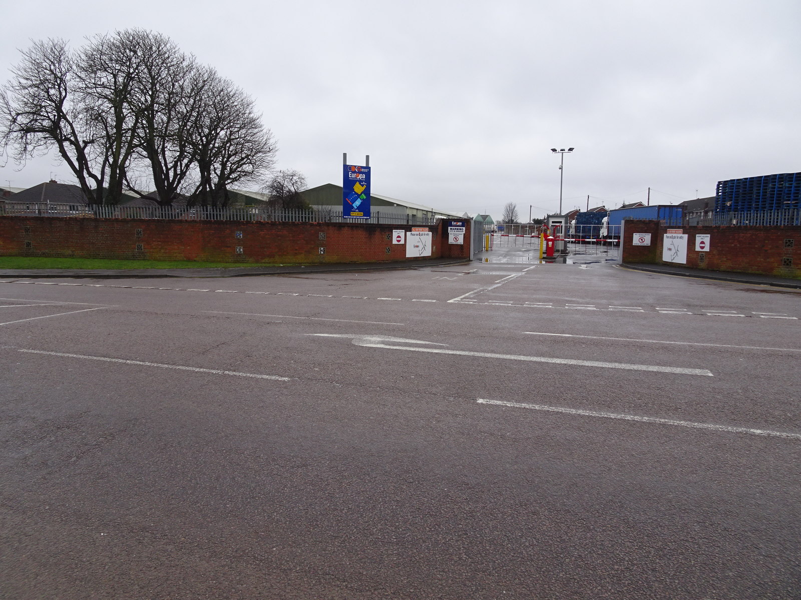
Images are sourced within 2km of 51.578318/-1.7617263 or Grid Reference SU1686. Thanks to Geograph Open Source API. All images are credited.

Cemetery Chapel at Upper Stratton Viewed from the north-east.
Cemetery Chapel at Upper Stratton
Viewed from the north-east.
Railway lines near Swindon Station Multiple rail lines visible from eastbound train, shortly after leaving Swindon Railway Station. Looking towards the Great Western Way (B4289) with TKMaxx store visible in the background.
Railway lines near Swindon Station
Multiple rail lines visible from eastbound train, shortly after leaving Swindon Railway Station. Looking towards the Great Western Way (B4289) with TKMaxx store visible in the background.
Honda, Swindon The visitor car park and main reception block at the car manufacturing plant.
Honda, Swindon
The visitor car park and main reception block at the car manufacturing plant.
Sheltering from the rain, no train to take the strain Swindon in a downpour
Sheltering from the rain, no train to take the strain
Swindon in a downpour
Beech Avenue in Swindon
Pinehurst Road in Swindon
Elgin Drive in Swindon
The A4311 in Swindon
Electrification Training School, near Swindon station The Electrification Training School near Swindon Station, see also <a href="https://www.geograph.org.uk/photo/4406519">SU1585 : Electrification Training School</a>.
Electrification Training School, near Swindon station
The Electrification Training School near Swindon Station, see also SU1585 : Electrification Training School.
Potato Day, Gorse Hill Community Centre Many varieties of seed potatoes, onions and shallots, heritage seeds, and other plants, go on sale for a day at Gorse Hill Community Centre in an annual event organised by Swindon Allotments and Leisure Garden Association <span class="nowrap"><a title="http://www.salga.org.uk/" rel="nofollow ugc noopener" href="http://www.salga.org.uk/">Link</a><img style="margin-left:2px;" alt="External link" title="External link - shift click to open in new window" src="https://s1.geograph.org.uk/img/external.png" width="10" height="10"/></span> in conjunction with Pennard Plants. <span class="nowrap"><a title="https://www.pennardplants.com/" rel="nofollow ugc noopener" href="https://www.pennardplants.com/">Link</a><img style="margin-left:2px;" alt="External link" title="External link - shift click to open in new window" src="https://s1.geograph.org.uk/img/external.png" width="10" height="10"/></span>
Potato Day, Gorse Hill Community Centre
Many varieties of seed potatoes, onions and shallots, heritage seeds, and other plants, go on sale for a day at Gorse Hill Community Centre in an annual event organised by Swindon Allotments and Leisure Garden Association LinkExternal link in conjunction with Pennard Plants. LinkExternal link
Potato Day, Gorse Hill Community Centre Many varieties of heritage seeds, seed potatoes, onions and shallots, and other plants, go on sale for a day at Gorse Hill Community Centre in an annual event organised by Swindon Allotments and Leisure Garden Association <span class="nowrap"><a title="http://www.salga.org.uk/" rel="nofollow ugc noopener" href="http://www.salga.org.uk/">Link</a><img style="margin-left:2px;" alt="External link" title="External link - shift click to open in new window" src="https://s1.geograph.org.uk/img/external.png" width="10" height="10"/></span> in conjunction with Pennard Plants. <span class="nowrap"><a title="https://www.pennardplants.com/" rel="nofollow ugc noopener" href="https://www.pennardplants.com/">Link</a><img style="margin-left:2px;" alt="External link" title="External link - shift click to open in new window" src="https://s1.geograph.org.uk/img/external.png" width="10" height="10"/></span>
Potato Day, Gorse Hill Community Centre
Many varieties of heritage seeds, seed potatoes, onions and shallots, and other plants, go on sale for a day at Gorse Hill Community Centre in an annual event organised by Swindon Allotments and Leisure Garden Association LinkExternal link in conjunction with Pennard Plants. LinkExternal link
Disused former chapel, The Circle, Pinehurst Former chapel, used consecutively as a library and shop, now boarded up, see <a href="https://www.geograph.org.uk/photo/3755408">SU1587 : One Stop shop, The Circle, Pinehurst</a>. The teenager on the pavement is riding an electric skateboard (also known as a Bluetooth smart electric self-balancing scooter/hover board/unicycle), which was the must-have Christmas present for teens in 2015.
Disused former chapel, The Circle, Pinehurst
Former chapel, used consecutively as a library and shop, now boarded up, see SU1587 : One Stop shop, The Circle, Pinehurst. The teenager on the pavement is riding an electric skateboard (also known as a Bluetooth smart electric self-balancing scooter/hover board/unicycle), which was the must-have Christmas present for teens in 2015.
The Circle, Pinehurst The Circle was originally the centre of a 1930s garden city development in Swindon. This open green area has been largely retained, and provides space for dog-walkers, and for children to play, although the central dualled road is very busy at times. The recently-renovated shops can be seen at the far side.
The Circle, Pinehurst
The Circle was originally the centre of a 1930s garden city development in Swindon. This open green area has been largely retained, and provides space for dog-walkers, and for children to play, although the central dualled road is very busy at times. The recently-renovated shops can be seen at the far side.
Site of the Queensfield pub, Queensfield, Swindon The failed pub seen here two years ago <a href="https://www.geograph.org.uk/photo/3798577">SU1588 : The Queensfield pub, Queensfield, Swindon</a> has been demolished. No-one seems to have mourned its passing. The site will probably be used for new housing.
Site of the Queensfield pub, Queensfield, Swindon
The failed pub seen here two years ago SU1588 : The Queensfield pub, Queensfield, Swindon has been demolished. No-one seems to have mourned its passing. The site will probably be used for new housing.
Wickes Extra store Off the B4143 Gypsy Lane, Swindon.
Wickes Extra store
Off the B4143 Gypsy Lane, Swindon.
Acacia tree, Acacia Grove, Pinehurst The streets in Pinehurst are all named after trees. There is, however, only one acacia tree in Acacia Grove.
Acacia tree, Acacia Grove, Pinehurst
The streets in Pinehurst are all named after trees. There is, however, only one acacia tree in Acacia Grove.
Go Camping
Go Camping
Show me another place!

Ash Corner is located at Grid Ref: SU1686 (Lat: 51.578318, Lng: -1.7617263)

Unitary Authority: Swindon

Police Authority: Wiltshire

What 3 Words

///prove.cloud.detect. Near Swindon, Wiltshire

Nearby Locations

Ash Corner

Related Wikis

School Library Association

The School Library Association (SLA) is an independent organization in the United Kingdom which promotes libraries and literacy in schools. The SLA was...

Stratton St Margaret

Stratton St Margaret is a civil parish in the Borough of Swindon, Wiltshire, England. The parish covers north-eastern suburbs of Swindon including Stratton...

Stratton railway station

Stratton railway station served the village of Stratton St Margaret, in the historic county of Wiltshire, England, from 1883 to 1953 on the Highworth branch...

Kingsdown School

Kingsdown School is a mixed secondary school with academy status in Swindon, Wiltshire, England. In its February 2020 Ofsted report, it was rated 'Good...

St Joseph's Catholic College

St. Joseph's Catholic College (formerly St Joseph's Comprehensive School) is a secondary school in Swindon, England. The school opened in 1958 and was...

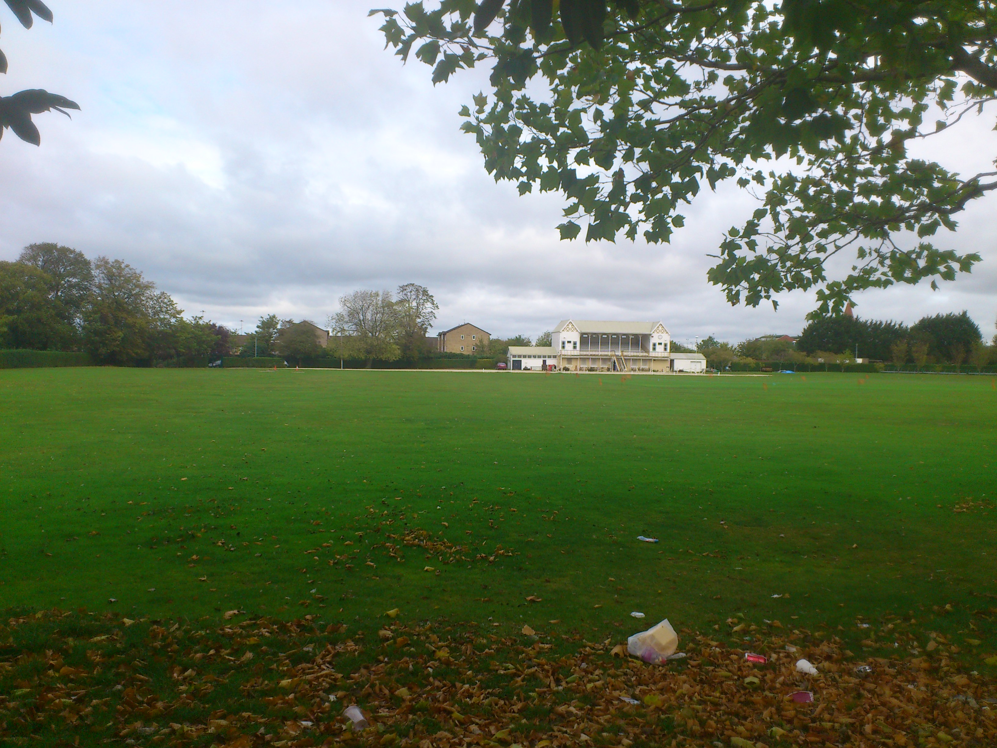
County Cricket Ground, Swindon

The County Ground is a cricket ground in Swindon, Wiltshire. The ground is located to the north of the County Football Ground used by Swindon Town. It...

Stratton Park Halt railway station

Stratton Park Halt served the community of Stratton St Margaret, now part of the Borough of Swindon in Wiltshire, England. The station was on the main...

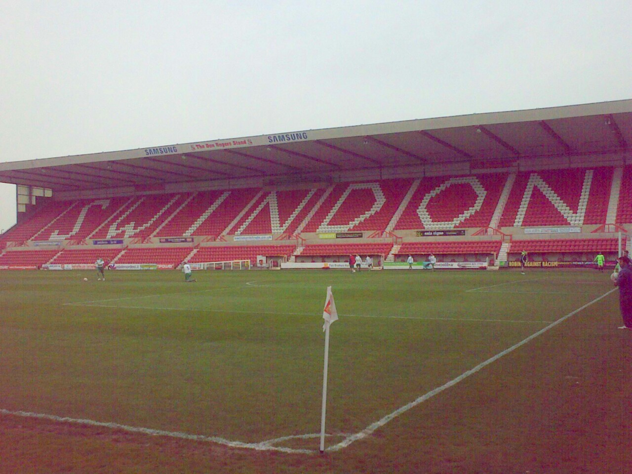
County Ground (Swindon)

The County Ground (currently known as the Energy Check County Ground for sponsorship purposes) is a stadium located near the town centre of Swindon, Wiltshire...

Nearby Amenities

Located within 500m of 51.578318,-1.7617263
Swindon Travel #11
Orienteering: pole
Lat/Long: 51.5804383/-1.7624466
Barrier: bollard
Lat/Long: 51.5798421/-1.7619442
Mini Roundabout
Direction: clockwise
Lat/Long: 51.577517/-1.7646785
Mini Roundabout
Direction: clockwise
Lat/Long: 51.5789778/-1.7633873
Turning Circle
Lat/Long: 51.5824851/-1.7631073
Bus Stop
Church Walk
Bench: no
Bus: yes
Naptan AtcoCode: 4680SWA10236
Naptan Bearing: N
Naptan CommonName: Church Walk
Naptan Indicator: N-bound
Naptan NaptanCode: swidwma
Naptan PlusbusZoneRef: SDON
Naptan Street: Meadowcroft
Naptan Verified: no
Public Transport: platform
Shelter: no
Source: naptan;bing
Tactile Paving: no
Lat/Long: 51.5824194/-1.7620979
Turning Circle
Lat/Long: 51.5785133/-1.7574721
Railway: level_crossing
Lat/Long: 51.579171/-1.7612398
Driving School
ABC Motorcycle Training
License Classes: A
Lat/Long: 51.5779489/-1.7653162
Absolutely Fit Motivational Coaching
Office: yes
Lat/Long: 51.5778173/-1.7653255
BASCS
Shop: bathroom
Lat/Long: 51.5775961/-1.7656606
BJS Fires
Shop: hardware
Lat/Long: 51.5782699/-1.7657573
Catalyst Environmental
Office: yes
Lat/Long: 51.578264/-1.7655768
Cotswold Angling
Shop: angling
Lat/Long: 51.5776785/-1.7653209
Murrays Autos
Shop: car_repair
Lat/Long: 51.5780718/-1.7653232
Roberts and Sons Property Services
Shop: estate_agent
Lat/Long: 51.5780516/-1.7656629
T1 T-shirts
Shop: clothes
Lat/Long: 51.5778231/-1.765649
Bus Stop
Ash Corner
Bench: no
Bus: yes
Public Transport: platform
Shelter: no
Tactile Paving: no
Lat/Long: 51.57821/-1.7621676
Kembrey Park Estate Office
Office: yes
Lat/Long: 51.5790821/-1.7643185
Bus Stop
Kembrey Park Estate Office
Bench: no
Bus: yes
Naptan AtcoCode: 4680TTY38447
Naptan Bearing: E
Naptan CommonName: Kembrey Park Estate Office
Naptan Indicator: E-bound
Naptan NaptanCode: swidwda
Naptan PlusbusZoneRef: SDON
Naptan Street: Kembrey Park
Naptan Verified: no
Public Transport: platform
Shelter: no
Tactile Paving: no
Lat/Long: 51.5792979/-1.765019
College
Swindon College Brickwork Department
Lat/Long: 51.5803207/-1.7634363
Cafe
Trenchers Cafe
Addr Postcode: SN2 8YZ
Fhrs Id: 253593
Source Addr Postcode: FHRS Open Data
Lat/Long: 51.5790848/-1.7641221
Grit Bin
Lat/Long: 51.5775806/-1.7627465
Bench
Lat/Long: 51.5783178/-1.76775
Waste Basket
Lat/Long: 51.5786429/-1.7660844
Bench
Lat/Long: 51.5787369/-1.7682287
Waste Basket
Lat/Long: 51.5788123/-1.7682214
Bench
Lat/Long: 51.578981/-1.7636619
Waste Basket
Lat/Long: 51.5790356/-1.7637644
Waste Basket
Lat/Long: 51.5791878/-1.7659849
Bench
Lat/Long: 51.5792032/-1.7660803
Bench
Lat/Long: 51.5792251/-1.7662979
Waste Basket
Lat/Long: 51.5792277/-1.7666731
Tourism: picnic_site
Lat/Long: 51.579229/-1.7663912
Traffic Calming: hump
Lat/Long: 51.5792444/-1.7646497
Bench
Lat/Long: 51.5792444/-1.766756
Mini Roundabout
Direction: clockwise
Lat/Long: 51.5792497/-1.7628075
Traffic Calming: hump
Lat/Long: 51.5793141/-1.7681309
Bench
Lat/Long: 51.579363/-1.7646006
Tourism: picnic_site
Lat/Long: 51.5794155/-1.7650753
Traffic Calming: hump
Lat/Long: 51.5795889/-1.7646563
Traffic Calming: bump
Lat/Long: 51.5800734/-1.7677209
Source: OS_OpenData_Boundary-Line
Lat/Long: 51.5758511/-1.761377
Railway: switch
Lat/Long: 51.5784439/-1.761135
Railway: switch
Lat/Long: 51.5746645/-1.7621737
Railway: switch
Lat/Long: 51.5744194/-1.7623427
Railway: switch
Lat/Long: 51.5752379/-1.7618411
Railway: switch
Lat/Long: 51.5753629/-1.7617928
Railway: crossing
Lat/Long: 51.5755796/-1.7615299
Railway: switch
Lat/Long: 51.5767448/-1.7575174
Railway: switch
Lat/Long: 51.5774466/-1.7575386
Railway: level_crossing
Lat/Long: 51.5777532/-1.7574433
Railway: switch
Lat/Long: 51.578405/-1.7558195
Railway: switch
Lat/Long: 51.5772866/-1.7575314
Railway: switch
Lat/Long: 51.5756033/-1.7614855
Railway: switch
Lat/Long: 51.5759664/-1.7615031
Railway: switch
Lat/Long: 51.5756122/-1.7616731
Railway: level_crossing
Lat/Long: 51.5759407/-1.7606345
Railway: level_crossing
Lat/Long: 51.5759888/-1.7606393
Sky's the Limit Entertainment
Addr City: Swindon
Addr Postcode: SN2 8UN
Addr Street: Kembrey Park
Phone: +44 1793 527754
Shop: party
Website: https://www.skys-entertainment.com
Lat/Long: 51.5779033/-1.7666647
Railway: level_crossing
Lat/Long: 51.5782558/-1.7605915
Railway: level_crossing
Lat/Long: 51.5784261/-1.7552214
Crossing
Lat/Long: 51.5799274/-1.7619435
Crossing
Lat/Long: 51.5801024/-1.762093
Leisure: sports_centre
Sport: climbing
Lat/Long: 51.5761594/-1.7639164
The data included in this document is from www.openstreetmap.org. The data is made available under ODbL.

Have you been to Ash Corner?

Leave your review of Ash Corner below (or comments, questions and feedback).