Hungerfield

Settlement in Warwickshire Rugby

England

Hungerfield

Tumley Wood The camera is straight but Tumley Wood on the slope of Tumley Hill is not.
Tumley Wood Credit: Stephen McKay

Hungerfield is a small village located in the county of Warwickshire, England. Situated approximately 10 miles north of the historic town of Warwick, Hungerfield is nestled within the picturesque countryside, providing residents with a tranquil and idyllic setting.

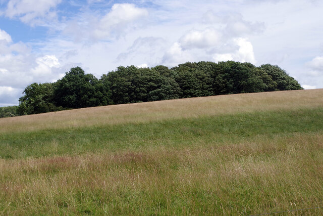
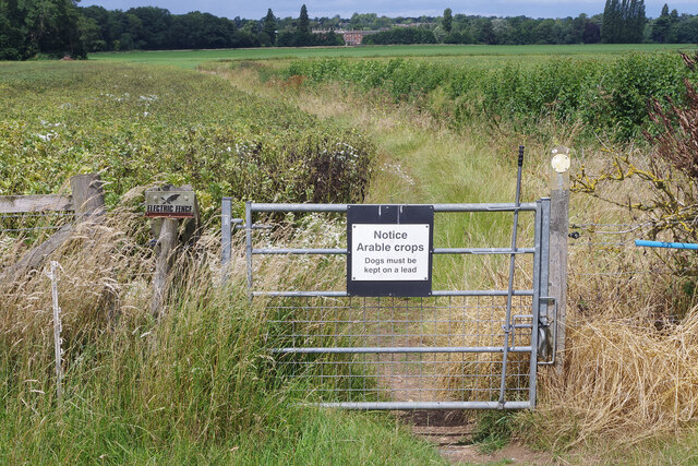
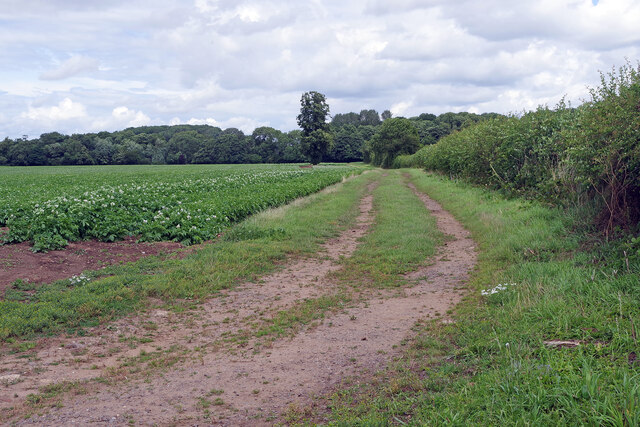
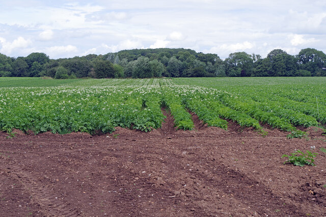
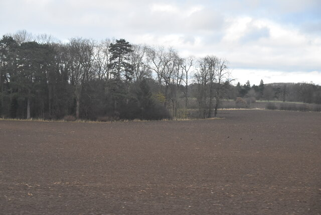
The village is characterized by its charming thatched-roof cottages, which date back several centuries, lending a timeless appeal to the area. The landscape surrounding Hungerfield is predominantly agricultural, with vast fields and rolling hills that offer breathtaking views and make it a popular destination for nature enthusiasts and hikers.

Despite its small size, Hungerfield boasts a tight-knit community that takes pride in preserving its rich historical heritage. The local church, St. Mary's, stands as a testament to this heritage, with its Norman-style architecture and beautifully maintained grounds. The church, along with the village pub, serves as a social hub for residents, fostering a sense of camaraderie and community spirit.

While Hungerfield may lack the amenities and conveniences of larger towns, it compensates with its peaceful atmosphere and proximity to nature. The village is well-connected to nearby towns and cities, with good transportation links ensuring easy access to essential services and employment opportunities.

Overall, Hungerfield offers a serene and picturesque lifestyle, attracting those seeking a slower pace of life in a charming rural setting. Its rich history, stunning landscapes, and close-knit community make it a truly unique and desirable place to live or visit in Warwickshire.

If you have any feedback on the listing, please let us know in the comments section below.
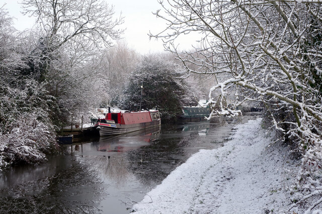
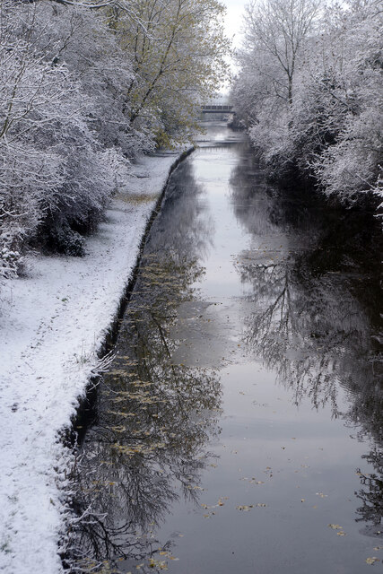
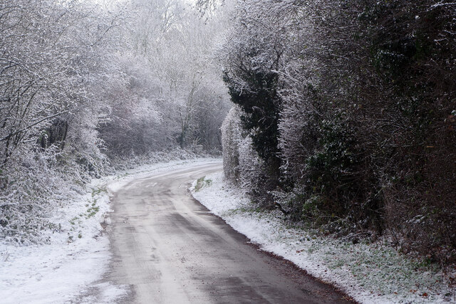
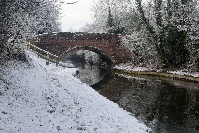
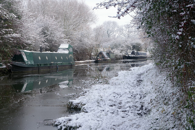
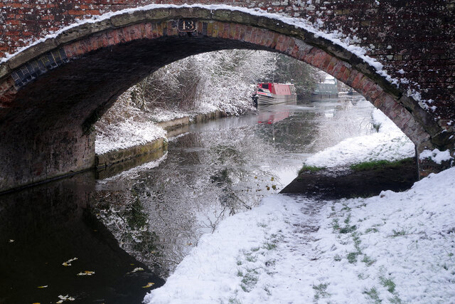
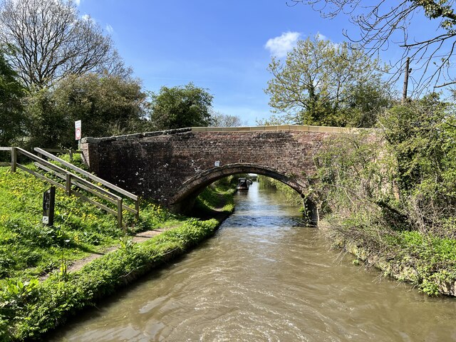
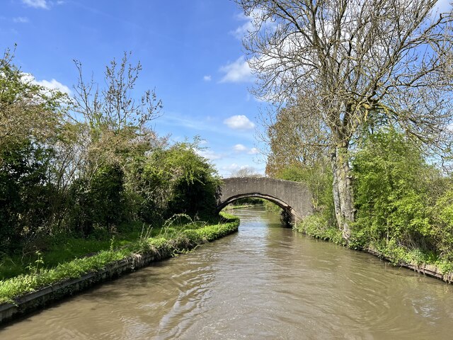
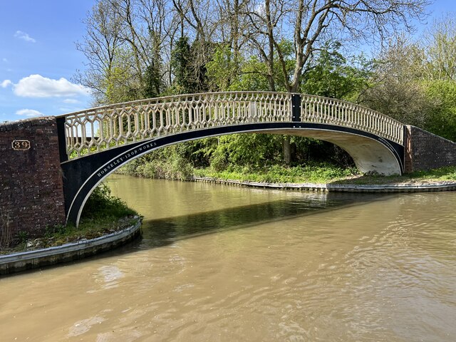
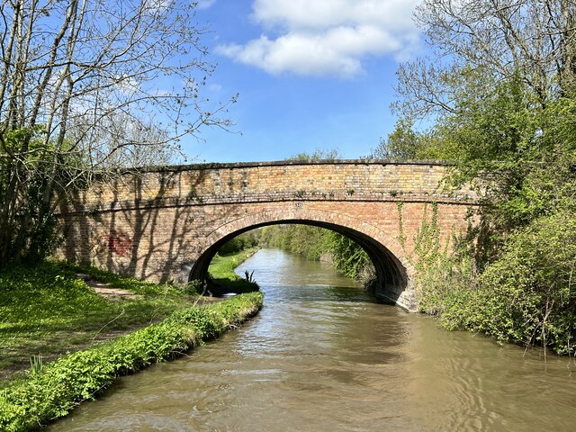
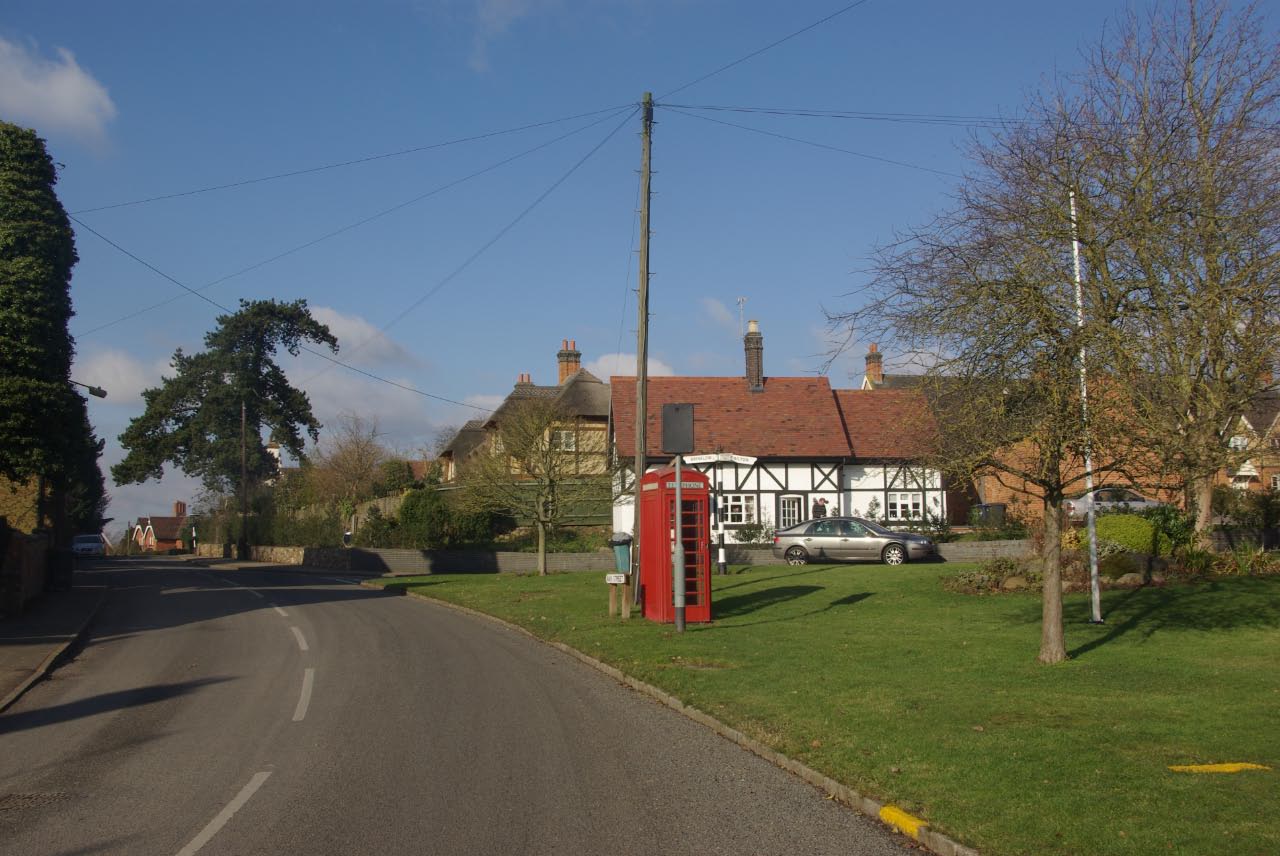
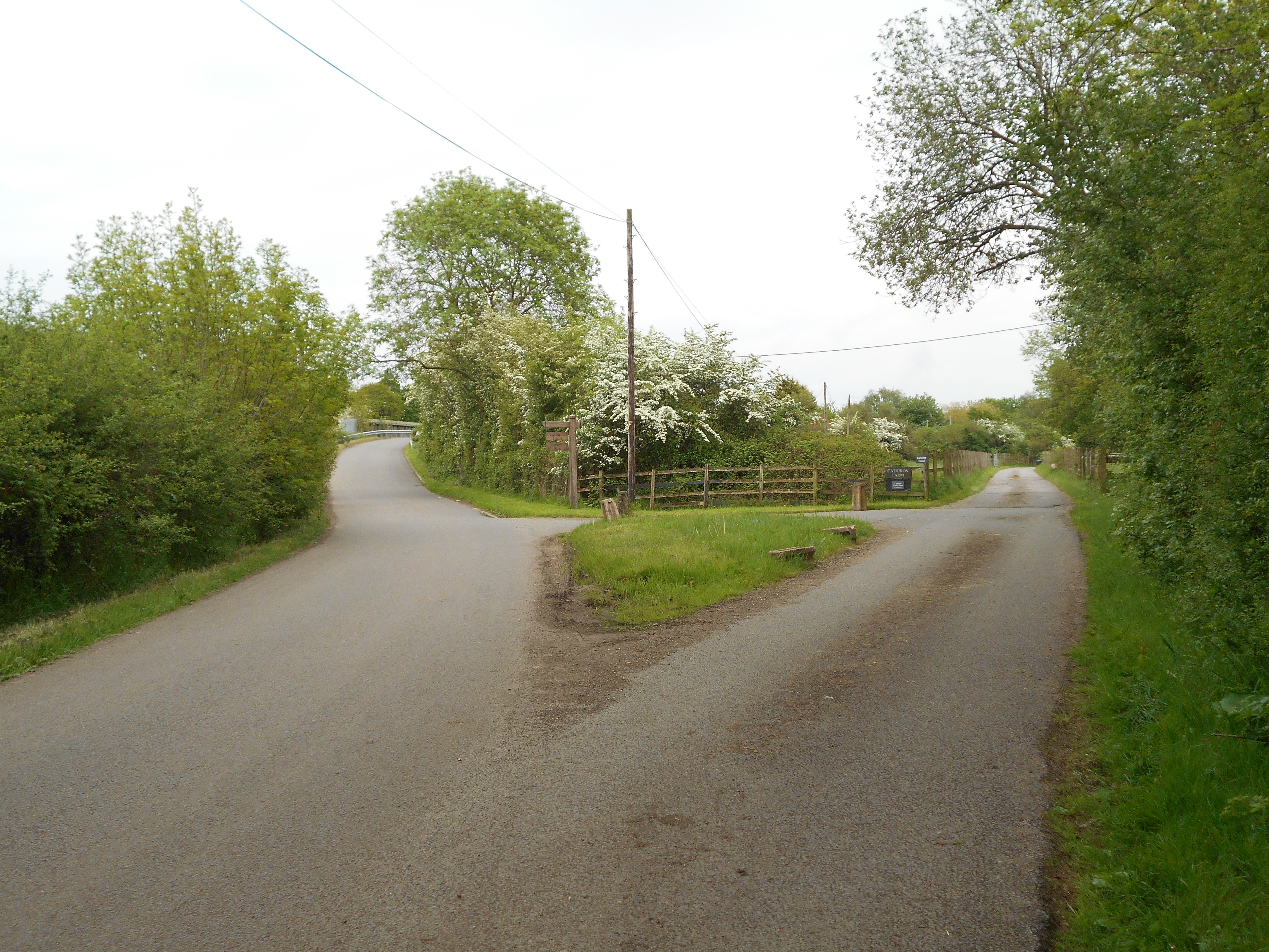
Hungerfield Images

Images are sourced within 2km of 52.405384/-1.3352228 or Grid Reference SP4578. Thanks to Geograph Open Source API. All images are credited.

Tumley Wood The camera is straight but Tumley Wood on the slope of Tumley Hill is not.
Tumley Wood
The camera is straight but Tumley Wood on the slope of Tumley Hill is not.
Bridleway to Stretton under Fosse The gate marks the end of Tumley Hill and a walk across flatter arable land where broad beans and potatoes are being grown.
Bridleway to Stretton under Fosse
The gate marks the end of Tumley Hill and a walk across flatter arable land where broad beans and potatoes are being grown.
Farmland north of Easenhall The track heads towards Conery Spinney alongside a field of potatoes.
Farmland north of Easenhall
The track heads towards Conery Spinney alongside a field of potatoes.
Farmland north of Easenhall An extensive potato crop can be seen here from the Easenhall to Stretton under Fosse bridleway.
Farmland north of Easenhall
An extensive potato crop can be seen here from the Easenhall to Stretton under Fosse bridleway.
Bridleway to Stretton under Fosse The bridleway from Easenhall skirts a large field of potatoes. In the background is Newbold Revel an 18th country house now used as a prison service training college.
Bridleway to Stretton under Fosse
The bridleway from Easenhall skirts a large field of potatoes. In the background is Newbold Revel an 18th country house now used as a prison service training college.
Oxford Canal, near Tuckey's Bridge There is ice in the canal and snow on the ground in this late November view of the Oxford Canal. The boats will be cosy enough if they have their stoves going.
Oxford Canal, near Tuckey's Bridge
There is ice in the canal and snow on the ground in this late November view of the Oxford Canal. The boats will be cosy enough if they have their stoves going.
Oxford Canal from Tuckey's Bridge On a cold day - by far the coldest of the winter so far - the canal has ice in it and the towpath is covered in snow. Obviously a handful of people have walked this way since the snow fell, but not many. Ahead is a bridge carrying the West Coast main Line.
Oxford Canal from Tuckey's Bridge
On a cold day - by far the coldest of the winter so far - the canal has ice in it and the towpath is covered in snow. Obviously a handful of people have walked this way since the snow fell, but not many. Ahead is a bridge carrying the West Coast main Line.
Lane to Little Lawford With temperatures hovering around zero, or just below, the surface of this untreated road was treacherous in places. The view is from just south of Tuckey's Bridge over the Oxford Canal.
Lane to Little Lawford
With temperatures hovering around zero, or just below, the surface of this untreated road was treacherous in places. The view is from just south of Tuckey's Bridge over the Oxford Canal.
Tuckey's Bridge, Oxford Canal Very much a wintry scene although this is still November. Following a stormy weekend, snow fell on the Sunday afternoon and evening but not to sufficient depth to cause significant disruption. This photograph was taken late morning when temperatures were hovering around zero. The cold snap was not to last long; the following day temperatures reached double figures.
Tuckey's Bridge, Oxford Canal
Very much a wintry scene although this is still November. Following a stormy weekend, snow fell on the Sunday afternoon and evening but not to sufficient depth to cause significant disruption. This photograph was taken late morning when temperatures were hovering around zero. The cold snap was not to last long; the following day temperatures reached double figures.
Oxford Canal, near Tuckey's Bridge The weather is cold and there is ice in the canal. This is east of Tuckey's Bridge looking towards Newbold on Avon.
Oxford Canal, near Tuckey's Bridge
The weather is cold and there is ice in the canal. This is east of Tuckey's Bridge looking towards Newbold on Avon.
Tuckey's Bridge, Oxford Canal Tuckey's Bridge is no 43 on the canal. This view looks through the bridge towards Newbold on Avon on a snowy day.
Tuckey's Bridge, Oxford Canal
Tuckey's Bridge is no 43 on the canal. This view looks through the bridge towards Newbold on Avon on a snowy day.
Larch Spinney
Larch Spinney
Fields toward the Oxford Canal
Little Gorse
Little Gorse
Tuckey's Bridge Bridge 43 on the Oxford Canal.
Tuckey's Bridge
Bridge 43 on the Oxford Canal.
Walton's Bridge On the Oxford Canal.
Walton's Bridge
On the Oxford Canal.
Fennis Field Bridge Grade II listed. Listing number 1233718. Bridge carrying towpath across abandoned Fennis Field Arm. 1831-34. Single span, cambered deck made of prefabricated cast-iron plates. Openwork parapet of moulded cast-iron railings forming a regular, attenuated diamond pattern. Solid brick abutments and trailing edge wing walls, with brick copings. Constructed during improvements to Oxford Canal carried out with William Cubitt as consulting engineer.
Fennis Field Bridge
Grade II listed. Listing number 1233718. Bridge carrying towpath across abandoned Fennis Field Arm. 1831-34. Single span, cambered deck made of prefabricated cast-iron plates. Openwork parapet of moulded cast-iron railings forming a regular, attenuated diamond pattern. Solid brick abutments and trailing edge wing walls, with brick copings. Constructed during improvements to Oxford Canal carried out with William Cubitt as consulting engineer.
Bridge 38 on the Oxford Canal Near Essenhall.
Bridge 38 on the Oxford Canal
Near Essenhall.
Show me another place!

Hungerfield is located at Grid Ref: SP4578 (Lat: 52.405384, Lng: -1.3352228)

Administrative County: Warwickshire

District: Rugby

Police Authority: Warwickshire

What 3 Words

///toned.superhero.stung. Near Brinklow, Warwickshire

Related Wikis

Hungerfield

Hungerfield is a hamlet in the parish of Easenhall in the borough of Rugby in the County of Warwickshire in England. Hungerfield is a small collection...

Rugby (UK Parliament constituency)

Rugby is a constituency represented in the House of Commons of the UK Parliament since its 2010 recreation by Mark Pawsey, a Conservative. == History... ==

Easenhall

Easenhall is a small village and civil parish in Warwickshire, England, three miles north-west of the town of Rugby and a mile south of the M6 motorway...

Cathiron

Cathiron is a small rural hamlet in Warwickshire, England, within the civil parish of Harborough Magna, consisting of around six scattered dwellings along...

Nearby Amenities

Located within 500m of 52.405384,-1.3352228
Bus Stop
Town Thorns
Bus: yes
Naptan AtcoCode: 4200F070100
Naptan Bearing: W
Naptan CommonName: Town Thorns
Naptan Indicator: Opp
Naptan NaptanCode: waragmgt
Naptan Street: Brinklow Road
Naptan Verified: no
Public Transport: platform
Source: naptan_import
Lat/Long: 52.4095025/-1.336534
Bus Stop
Town Thorns
Bus: yes
Naptan AtcoCode: 4200F070101
Naptan Bearing: E
Naptan CommonName: Town Thorns
Naptan Indicator: Adj
Naptan NaptanCode: wardjtpt
Naptan Street: Brinklow Road
Naptan Verified: no
Public Transport: platform
Source: naptan_import
Lat/Long: 52.4096056/-1.3365226
Barrier: kissing_gate
Source: survey
Lat/Long: 52.4021515/-1.3340888
Barrier: kissing_gate
Source: survey
Lat/Long: 52.4036636/-1.3291749
Hungerfield
Place: hamlet
Lat/Long: 52.4054936/-1.3341738
Colour: red
Marker: post
Material: concrete
Utility: gas
Lat/Long: 52.4024371/-1.3296562
The data included in this document is from www.openstreetmap.org. The data is made available under ODbL.

Have you been to Hungerfield?

Leave your review of Hungerfield below (or comments, questions and feedback).