Cattles Covert

Wood, Forest in Warwickshire Rugby

England

Cattles Covert

Tumley Wood The camera is straight but Tumley Wood on the slope of Tumley Hill is not.
Tumley Wood Credit: Stephen McKay

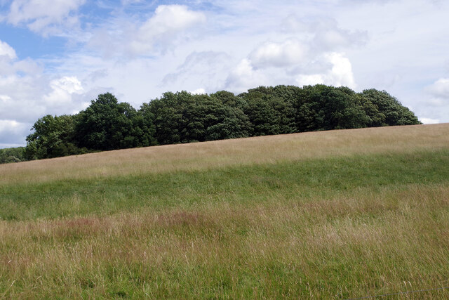
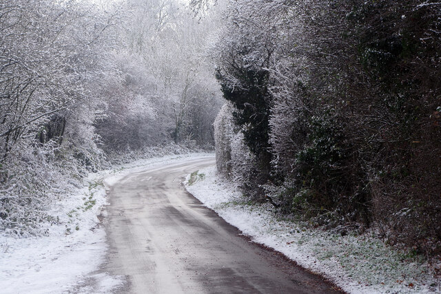
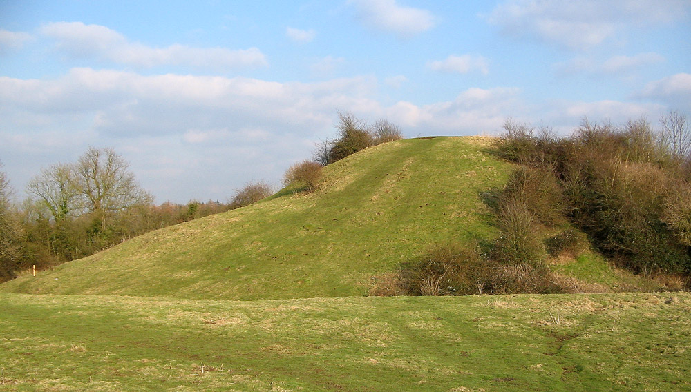
Cattles Covert is a serene woodland area situated in Warwickshire, England. Covering an estimated area of 50 acres, it is located near the picturesque town of Wood, which is renowned for its natural beauty and rich history. The woodland is often referred to as a "covert," a term commonly used to describe a dense and sheltered area of trees.

Cattles Covert is home to a diverse range of flora and fauna, creating a haven for nature enthusiasts and wildlife lovers. The woodland boasts a mixture of broad-leaved and coniferous trees, including oak, beech, and pine, which provide a beautiful canopy overhead. This dense foliage offers a tranquil and secluded atmosphere, making it a perfect location for peaceful walks, picnics, and nature trails.

The forest floor is adorned with a variety of wildflowers, adding vibrant colors to the landscape throughout the seasons. It is not uncommon to spot deer, foxes, and a plethora of bird species, such as woodpeckers and owls, while exploring Cattles Covert. The woodland is also home to several well-maintained footpaths, allowing visitors to explore the area at their own leisure.

Cattles Covert is a popular destination for both locals and tourists alike, as it offers a unique opportunity to escape the hustle and bustle of everyday life and immerse oneself in the beauty of nature. The woodland provides a sense of tranquility and serenity, making it the ideal spot for relaxation and outdoor activities.

If you have any feedback on the listing, please let us know in the comments section below.

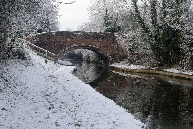
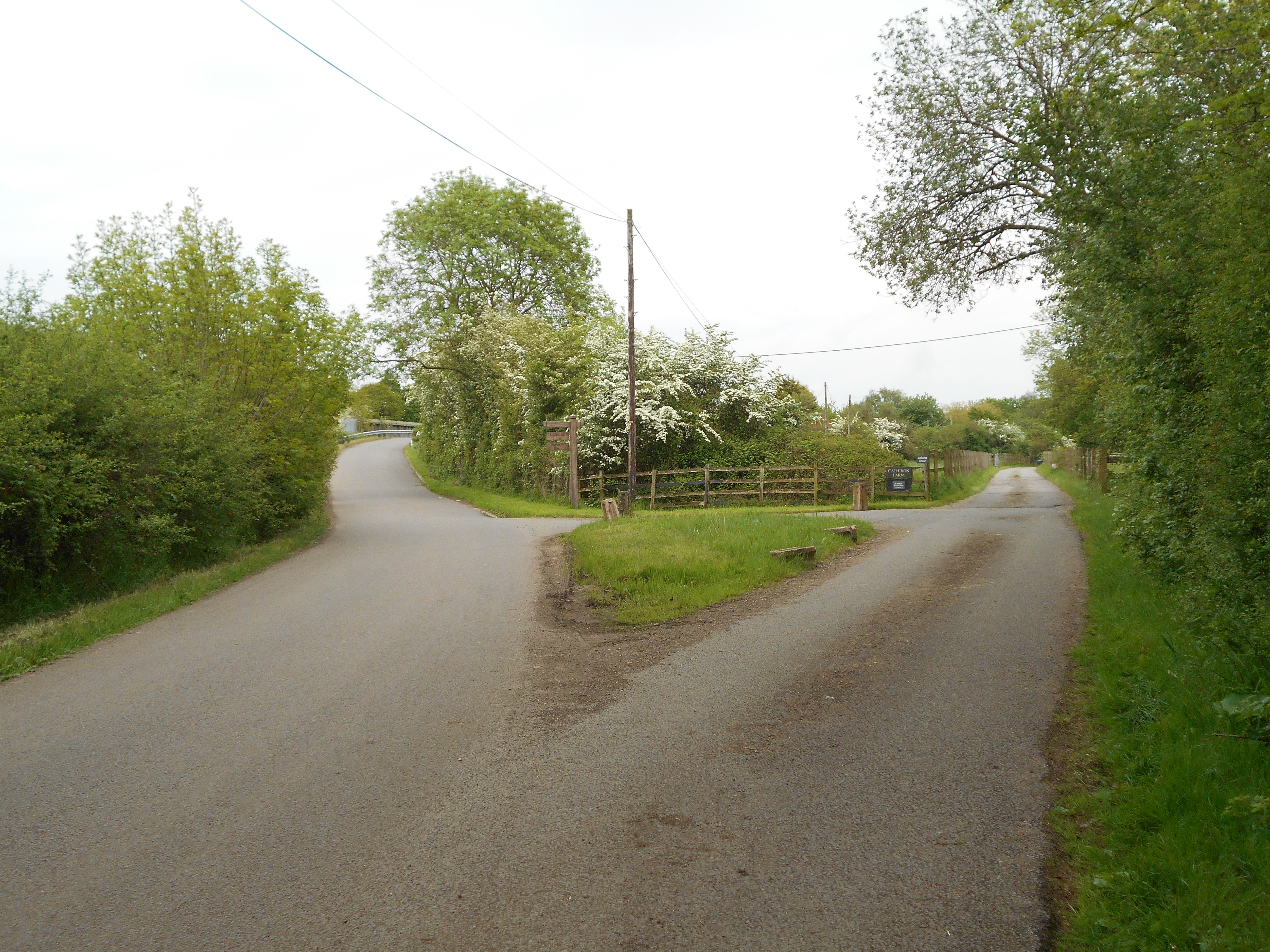
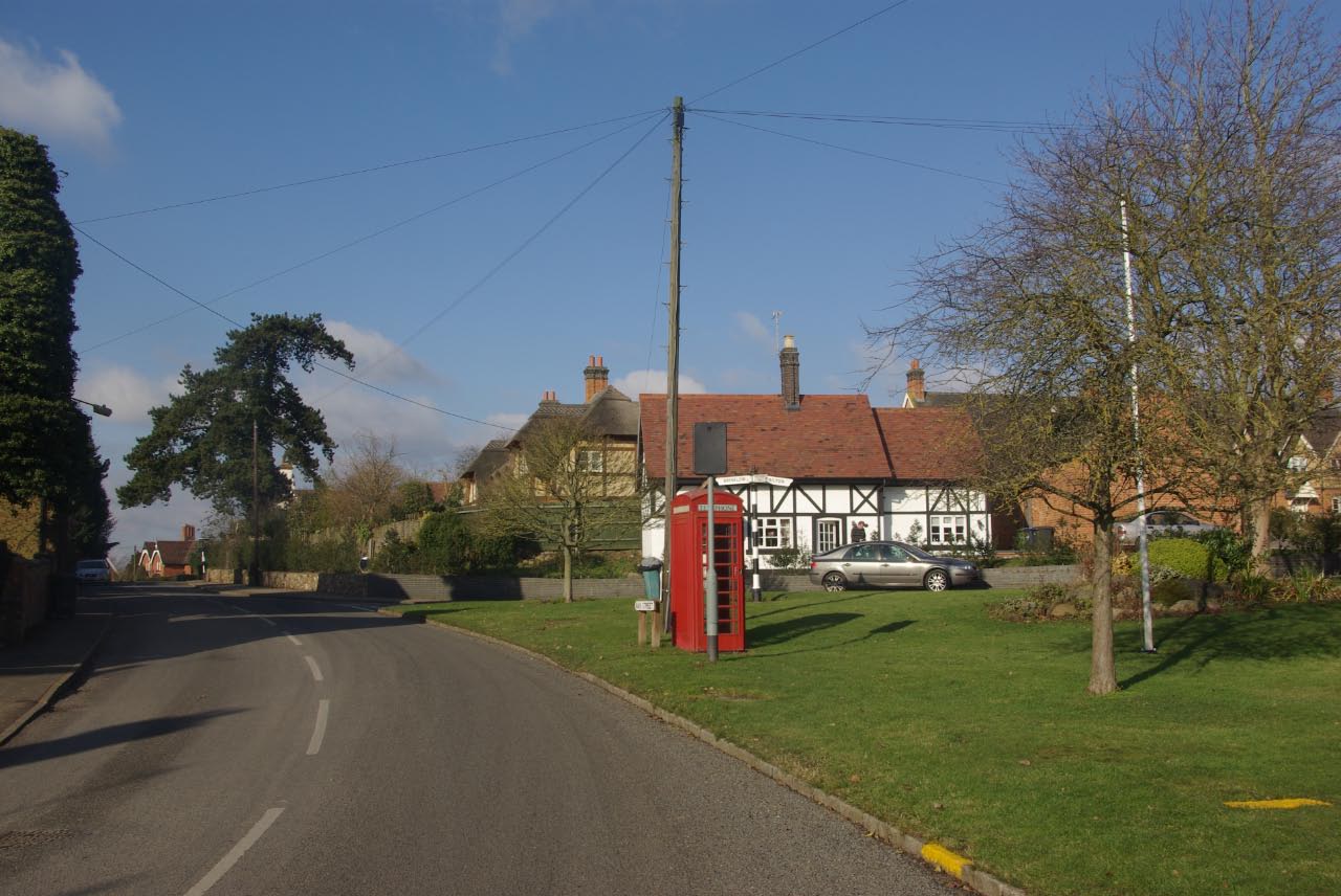
Cattles Covert Images

Images are sourced within 2km of 52.401115/-1.337183 or Grid Reference SP4578. Thanks to Geograph Open Source API. All images are credited.

Tumley Wood The camera is straight but Tumley Wood on the slope of Tumley Hill is not.
Tumley Wood
The camera is straight but Tumley Wood on the slope of Tumley Hill is not.
Bridleway to Stretton under Fosse The gate marks the end of Tumley Hill and a walk across flatter arable land where broad beans and potatoes are being grown.
Bridleway to Stretton under Fosse
The gate marks the end of Tumley Hill and a walk across flatter arable land where broad beans and potatoes are being grown.
Thatched Cottage in Brinklow Warwickshire This very attractive cottage dates from the 17th century and is situated in Broad Street, Brinklow.
Thatched Cottage in Brinklow Warwickshire
This very attractive cottage dates from the 17th century and is situated in Broad Street, Brinklow.
An attractive House in Broad Street Brinklow
St John the Baptist Church Brinklow
West Coast Mainline and Oxford Canal NW of Rugby: aerial 2021 (1) See also <a href="https://www.geograph.org.uk/photo/1608194">SP4777 : West Coast Mainline, northwest of Rugby</a>.
West Coast Mainline and Oxford Canal NW of Rugby: aerial 2021 (1)
West Coast Mainline and Oxford Canal NW of Rugby: aerial 2021 (2) See also <a href="https://www.geograph.org.uk/photo/1608194">SP4777 : West Coast Mainline, northwest of Rugby</a>.
West Coast Mainline and Oxford Canal NW of Rugby: aerial 2021 (2)
Road leading to Harborough Magna
Spinney Cottage on Little Lawford Lane
Minor road towards King's Newnham
Newnham Lane at King's Newnham
Newnham Lane towards King's Newnham
Entrance to Goodes Farm near Brinklow
Minor road towards Brinklow
Little Lawford Lane The lane passes through the hamlet of Little Lawford and is seen here on a cold day with snow on the ground. The road heading off to the right leads to Cathiron.
Little Lawford Lane
The lane passes through the hamlet of Little Lawford and is seen here on a cold day with snow on the ground. The road heading off to the right leads to Cathiron.
Oxford Canal from Tuckey's Bridge On a cold day - by far the coldest of the winter so far - the canal has ice in it and the towpath is covered in snow. Obviously a handful of people have walked this way since the snow fell, but not many. Ahead is a bridge carrying the West Coast main Line.
Oxford Canal from Tuckey's Bridge
On a cold day - by far the coldest of the winter so far - the canal has ice in it and the towpath is covered in snow. Obviously a handful of people have walked this way since the snow fell, but not many. Ahead is a bridge carrying the West Coast main Line.
Lane to Little Lawford With temperatures hovering around zero, or just below, the surface of this untreated road was treacherous in places. The view is from just south of Tuckey's Bridge over the Oxford Canal.
Lane to Little Lawford
With temperatures hovering around zero, or just below, the surface of this untreated road was treacherous in places. The view is from just south of Tuckey's Bridge over the Oxford Canal.
Tuckey's Bridge, Oxford Canal Very much a wintry scene although this is still November. Following a stormy weekend, snow fell on the Sunday afternoon and evening but not to sufficient depth to cause significant disruption. This photograph was taken late morning when temperatures were hovering around zero. The cold snap was not to last long; the following day temperatures reached double figures.
Tuckey's Bridge, Oxford Canal
Very much a wintry scene although this is still November. Following a stormy weekend, snow fell on the Sunday afternoon and evening but not to sufficient depth to cause significant disruption. This photograph was taken late morning when temperatures were hovering around zero. The cold snap was not to last long; the following day temperatures reached double figures.
Show me another place!

Cattles Covert is located at Grid Ref: SP4578 (Lat: 52.401115, Lng: -1.337183)

Administrative County: Warwickshire

District: Rugby

Police Authority: Warwickshire

What 3 Words

///fools.fearfully.leaflet. Near Brinklow, Warwickshire

Related Wikis

Hungerfield

Hungerfield is a hamlet in the parish of Easenhall in the borough of Rugby in the County of Warwickshire in England. Hungerfield is a small collection...

Rugby (UK Parliament constituency)

Rugby is a constituency represented in the House of Commons of the UK Parliament since its 2010 recreation by Mark Pawsey, a Conservative. == History... ==

King's Newnham

King's Newnham (otherwise known as Newnham Regis) is a village and civil parish located just under 2.5 miles (4 km) west of the town of Rugby and 4.5 miles...

Rugby Rural District

The Rugby Rural District was a former rural district in Warwickshire, England. The district covered the rural areas surrounding the town of Rugby, where...

Cathiron

Cathiron is a small rural hamlet in Warwickshire, England, within the civil parish of Harborough Magna, consisting of around six scattered dwellings along...

Easenhall

Easenhall is a small village and civil parish in Warwickshire, England, three miles north-west of the town of Rugby and a mile south of the M6 motorway...

Church Lawford

Church Lawford is a village and civil parish in Warwickshire, England. It is located just under 2.5 miles (4 km) west of the town of Rugby and 4.5 miles...

Brinklow Castle

Brinklow Castle, known locally as the Tump, is a medieval castle in the village of Brinklow in the county of Warwickshire between Coventry and Rugby....

Nearby Amenities

Located within 500m of 52.401115,-1.337183
Barrier: kissing_gate
Source: survey
Lat/Long: 52.4021515/-1.3340888
The data included in this document is from www.openstreetmap.org. The data is made available under ODbL.

Have you been to Cattles Covert?

Leave your review of Cattles Covert below (or comments, questions and feedback).