Hundred Acres
Settlement in Hampshire Winchester
England
Hundred Acres
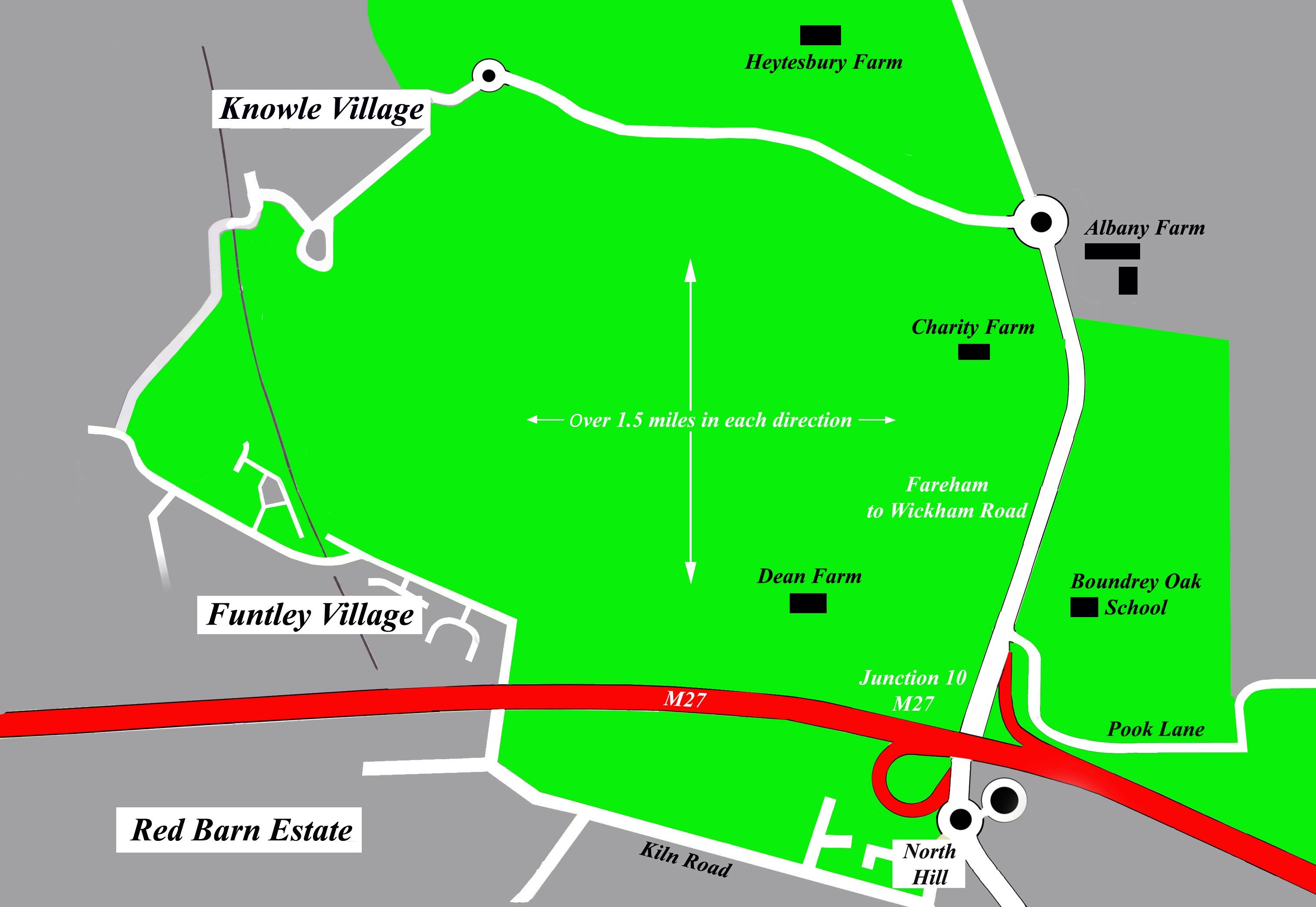
Hundred Acres is a beautiful nature reserve located in Hampshire, England. Spanning over 700 acres, it offers visitors a diverse range of natural habitats to explore and enjoy. The reserve is situated between the towns of Fareham and Wickham, making it easily accessible to both locals and tourists.
The main feature of Hundred Acres is its ancient woodland, which covers a significant portion of the reserve. These woodlands are home to a variety of tree species, including oak, beech, and ash, creating a rich and vibrant ecosystem. The reserve also boasts several ponds, providing a habitat for a wide range of aquatic plants and animals.
Visitors to Hundred Acres can take advantage of the numerous walking trails that wind their way through the reserve. These trails offer stunning views of the surrounding countryside and provide opportunities for wildlife spotting. The reserve is particularly renowned for its birdlife, with species such as woodpeckers, kingfishers, and herons commonly sighted.
In addition to its natural beauty, Hundred Acres also offers various recreational activities. There are picnic areas and designated spots for barbecues, allowing visitors to relax and enjoy the peaceful surroundings. The reserve is also a popular spot for dog walking, with many paths allowing for canine companions.
Hundred Acres is a cherished natural gem in Hampshire, offering a tranquil escape from the hustle and bustle of everyday life. Its diverse habitats, picturesque trails, and abundant wildlife make it a must-visit destination for nature enthusiasts and those seeking a peaceful retreat in the heart of Hampshire.
If you have any feedback on the listing, please let us know in the comments section below.
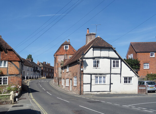
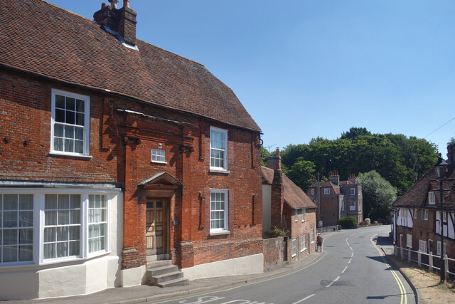
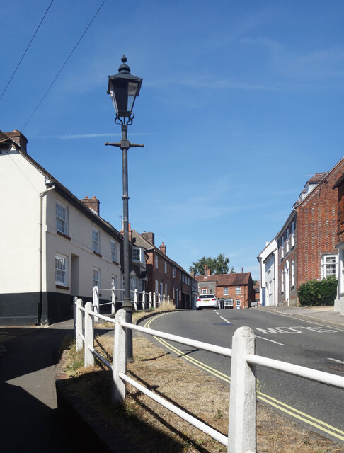
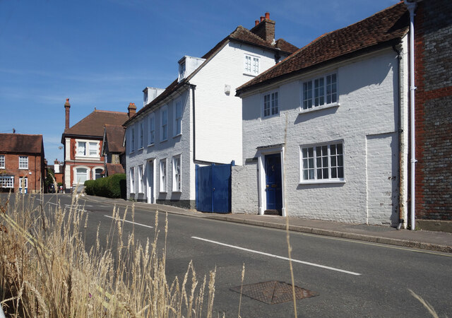
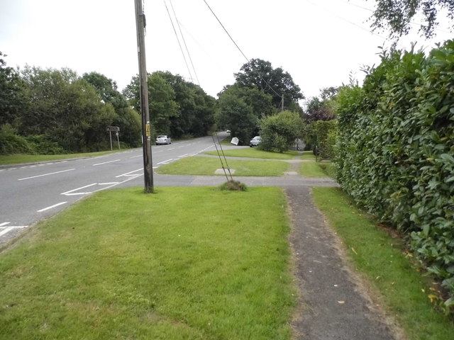
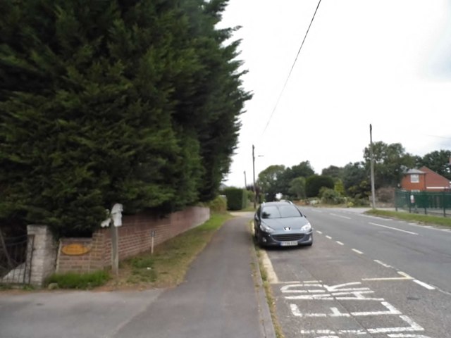
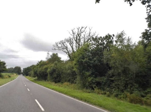
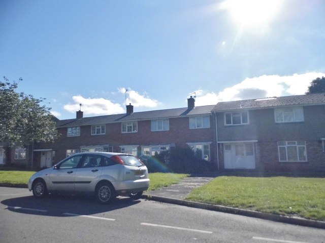
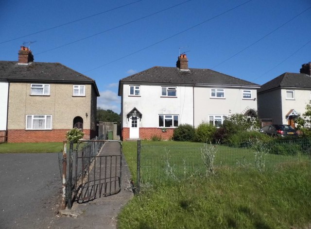
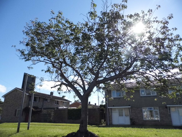
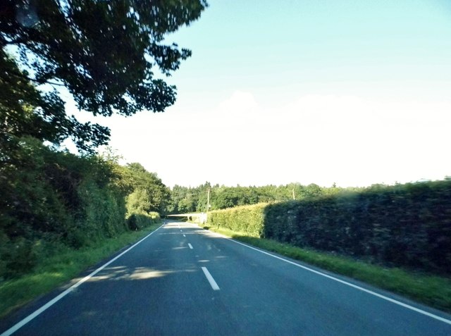
Hundred Acres Images
Images are sourced within 2km of 50.89477/-1.160702 or Grid Reference SU5910. Thanks to Geograph Open Source API. All images are credited.
Hundred Acres is located at Grid Ref: SU5910 (Lat: 50.89477, Lng: -1.160702)
Administrative County: Hampshire
District: Winchester
Police Authority: Hampshire
What 3 Words
///charm.rentals.topics. Near Wickham, Hampshire
Nearby Locations
Related Wikis

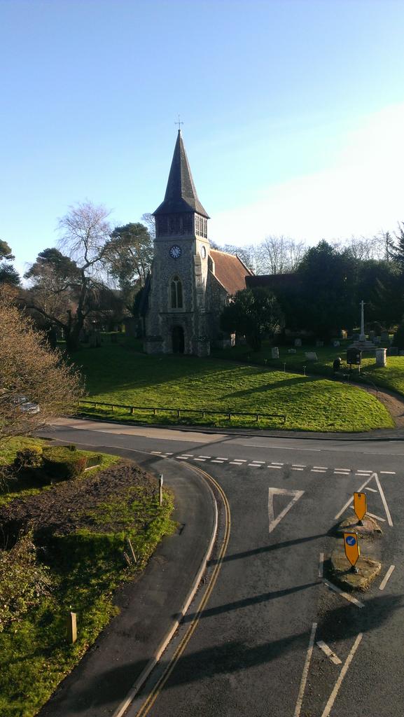
Boarhunt
Boarhunt () is a village and civil parish in the City of Winchester district of Hampshire, England, about 2 miles (3 kilometres) north-east of Fareham...
North Boarhunt
North Boarhunt is a village in the City of Winchester district of Hampshire, England. It is in the civil parish of Boarhunt. Its nearest town is Fareham...

Wickham railway station (Hampshire)
Wickham (Hants) railway station served the village of Wickham in Hampshire, England. It was on the Meon Valley line of the London and South Western Railway...
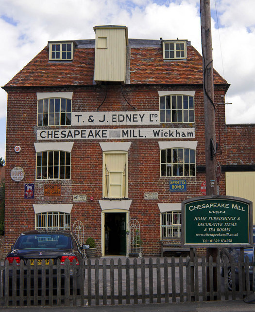
Chesapeake Mill
The Chesapeake Mill is a watermill in Wickham, Hampshire, England. The flour mill was constructed in 1820 using the timbers of HMS Chesapeake, which had...
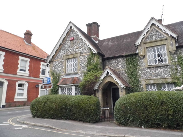
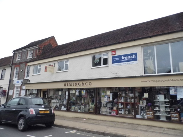
Wickham, Hampshire
Wickham () is a large village in the civil parish of Wickham and Knowle, in the Winchester district, in the county of Hampshire, England. It is about 3...
Crockerhill, Hampshire
Crockerhill is a hamlet in south Hampshire, England. The population at the 2011 Census was included in the Borough of Fareham == References == The geographic...
Wood End, Hampshire
Wood End is a hamlet in the civil parish of Soberton in the City of Winchester district of Hampshire, England. Its nearest town is Fareham, which lies...
Welborne, Hampshire
Welborne is a proposed new town to the north of Fareham, England, intended to include 6,000 houses with businesses and community facilities. A plan for...
Nearby Amenities
Located within 500m of 50.89477,-1.160702Have you been to Hundred Acres?
Leave your review of Hundred Acres below (or comments, questions and feedback).