Horderley
Settlement in Shropshire
England
Horderley
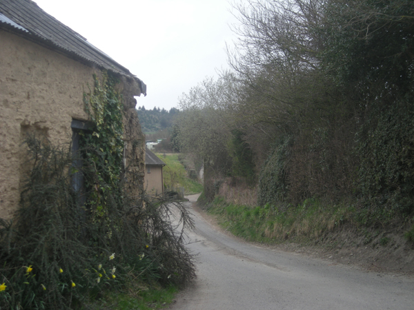
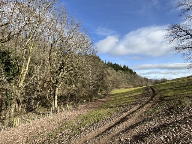
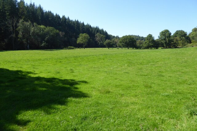
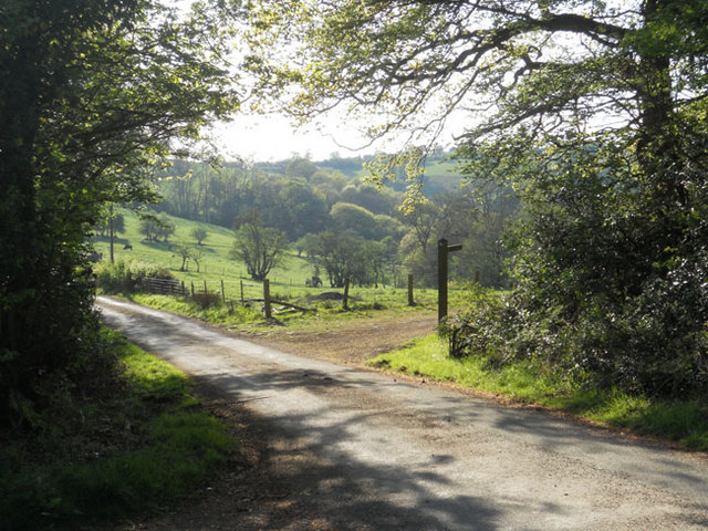
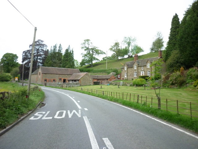
Horderley is a small village located in the county of Shropshire, England. Situated amidst the beautiful countryside, the village offers a tranquil and picturesque setting for its residents and visitors alike. Horderley is located about 7 miles south of the town of Bishop's Castle and is surrounded by rolling hills and fields.
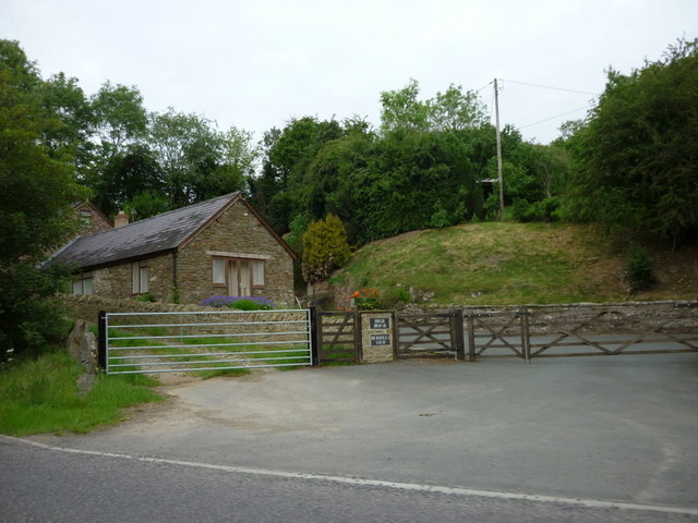
The village itself is characterized by a small number of houses and cottages, giving it a close-knit and community-oriented atmosphere. The architecture in Horderley reflects its rural heritage, with many buildings constructed from local stone and featuring traditional design elements.
Despite its small size, Horderley has a strong sense of community spirit. The village has a village hall which serves as a hub for various social and recreational activities. Regular events such as community meetings, fundraisers, and local gatherings are held here, fostering a sense of togetherness among the residents.
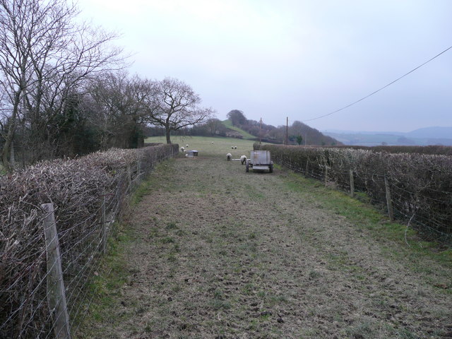
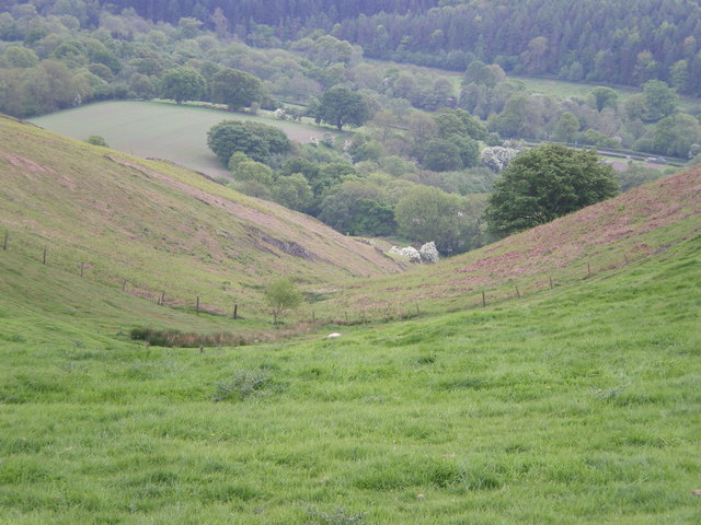
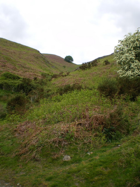
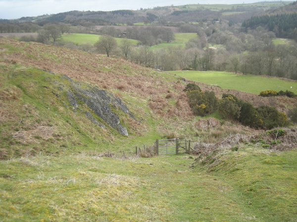
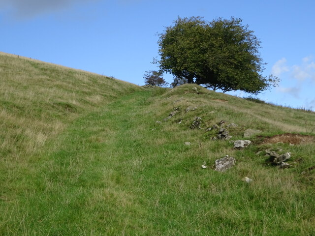
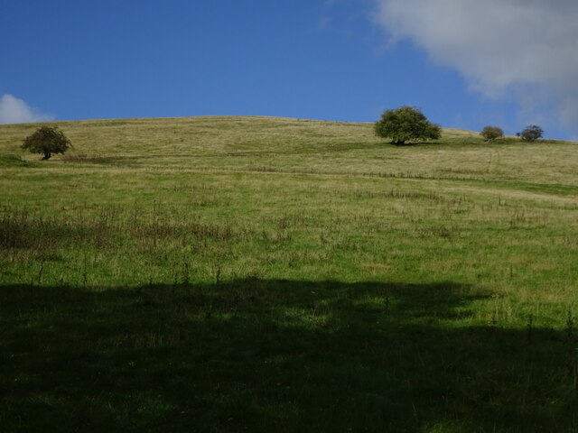
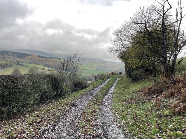
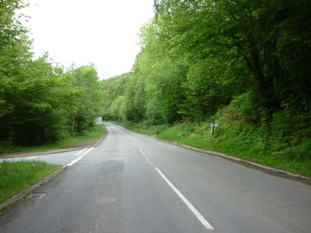
The natural beauty of the surrounding area provides numerous opportunities for outdoor activities. Horderley is an ideal location for hiking and walking enthusiasts, with several scenic trails that meander through the countryside. The village is also within easy reach of the Shropshire Hills Area of Outstanding Natural Beauty, offering breathtaking views and diverse wildlife.
For amenities and services, the village is in close proximity to Bishop's Castle, which provides a wider range of facilities including shops, schools, and healthcare services. With its peaceful ambiance and stunning scenery, Horderley offers a charming rural retreat for those seeking a slower pace of life amidst the idyllic English countryside.
If you have any feedback on the listing, please let us know in the comments section below.
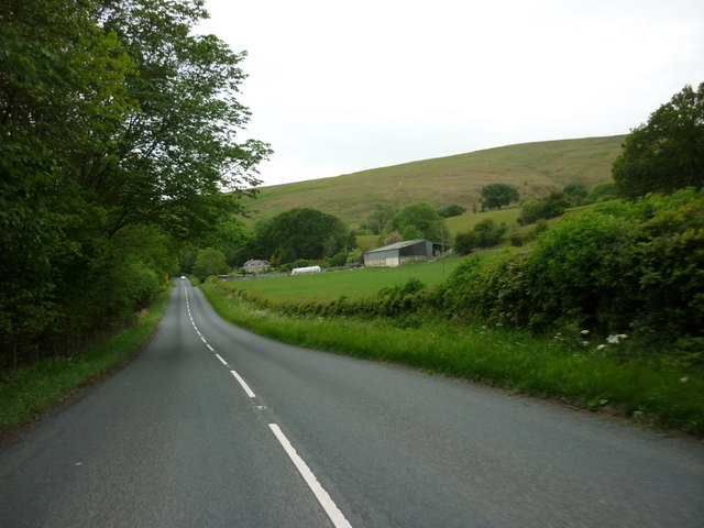
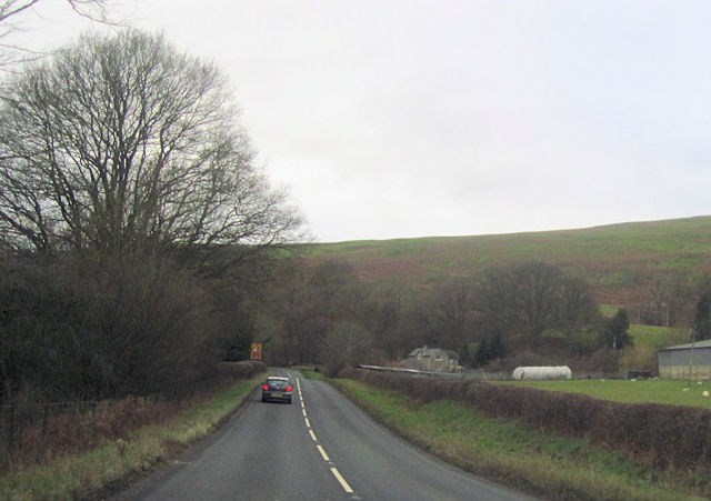
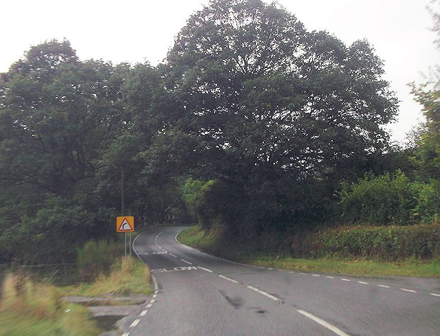
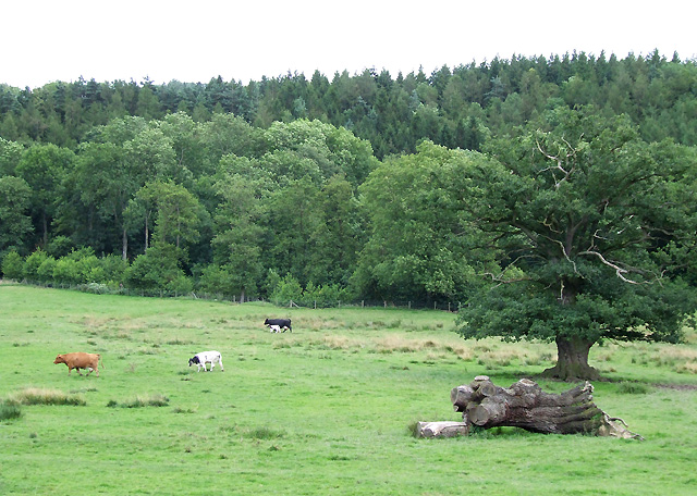
Horderley Images
Images are sourced within 2km of 52.478413/-2.8703192 or Grid Reference SO4087. Thanks to Geograph Open Source API. All images are credited.
Horderley is located at Grid Ref: SO4087 (Lat: 52.478413, Lng: -2.8703192)
Unitary Authority: Shropshire
Police Authority: West Merica
What 3 Words
///wakes.polishing.proved. Near Craven Arms, Shropshire
Nearby Locations
Related Wikis

Horderley railway station
Horderley railway station was a station in Horderley, Wistanstow, Shropshire, England. The station was opened in March 1866 and closed on 20 April 1935...

Woolston, south Shropshire
Woolston, in the south of the county of Shropshire, England, is a hamlet located in the parish of Wistanstow, one mile northwest of that village, near...

Cwm Head
Cwm Head is a hamlet in Shropshire, England. The name is part-Welsh, part-English and means "Head of the Valley". It is located in the parish of Wistanstow...

Cheney Longville
Cheney Longville ( SHEH-nee LONG-vil) is a small village in Shropshire, England. It lies in the parish of Wistanstow, near to the small market town of...
Nearby Amenities
Located within 500m of 52.478413,-2.8703192Have you been to Horderley?
Leave your review of Horderley below (or comments, questions and feedback).