Sidelands Coppice
Wood, Forest in Shropshire
England
Sidelands Coppice
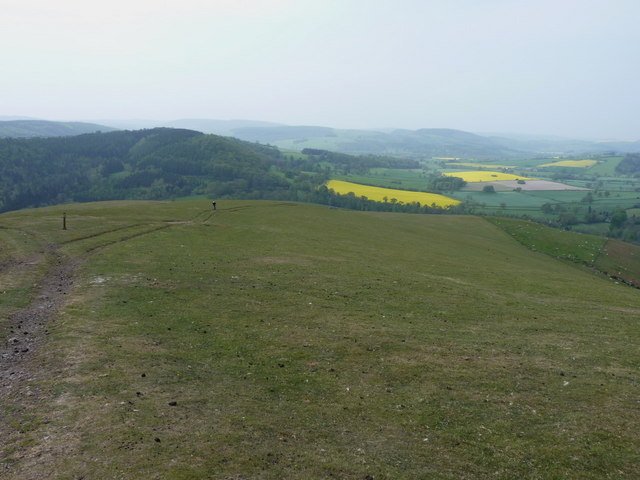
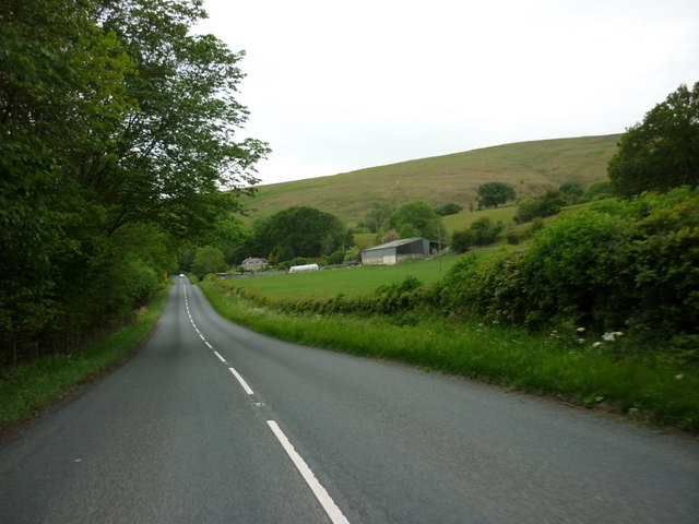
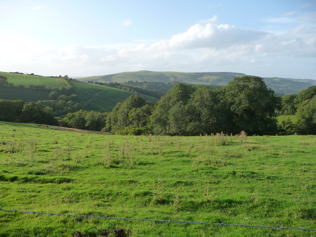
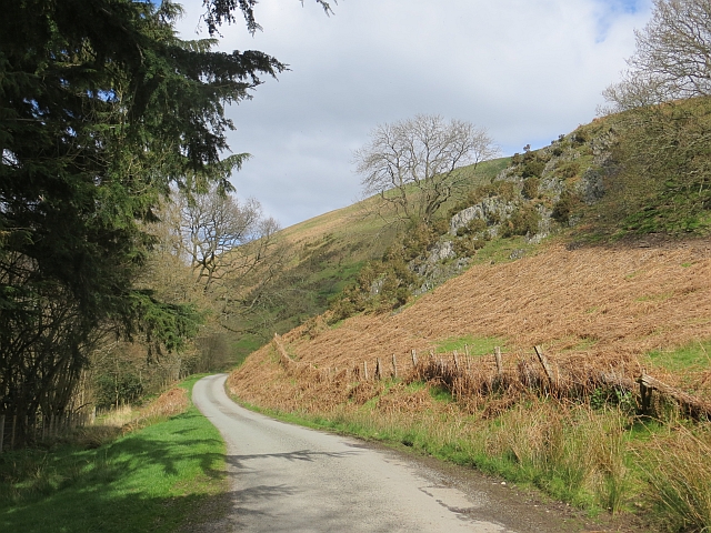
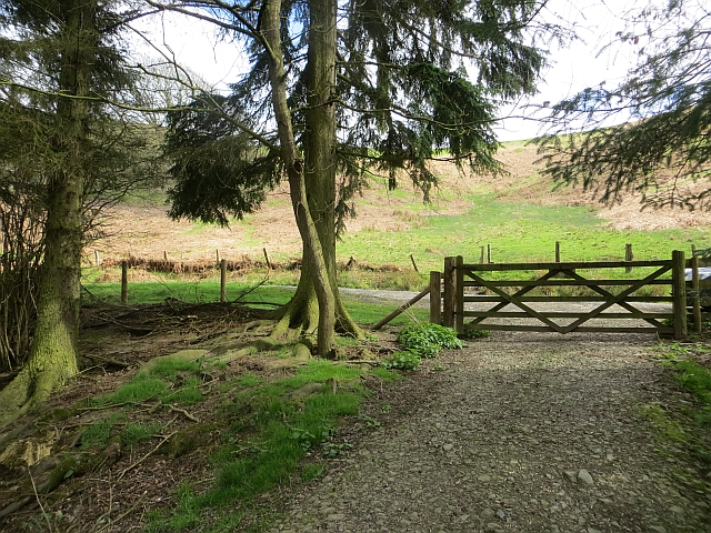
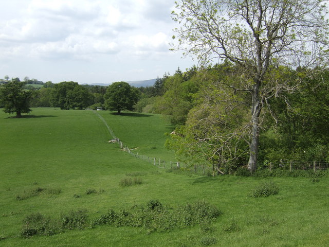
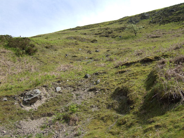
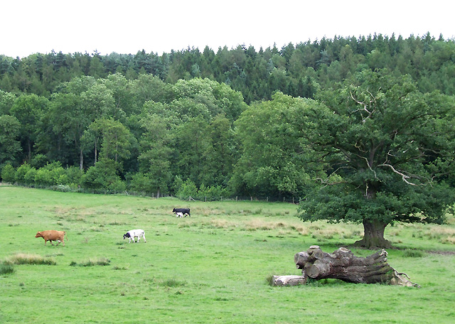
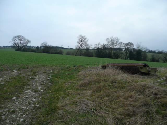
Sidelands Coppice, located in Shropshire, England, is a charming wood or forest that covers an area of approximately 50 acres. This idyllic woodland is nestled amidst the stunning countryside and is a popular destination for nature enthusiasts, hikers, and those seeking a peaceful retreat.
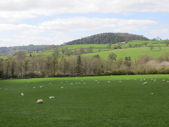
The coppice is dominated by a diverse range of tree species, including oak, beech, ash, and birch, which create a lush and vibrant green canopy during the warmer months. These tall and majestic trees provide shade and shelter for a myriad of flora and fauna, making Sidelands Coppice a haven for wildlife.
As visitors wander through the woodland, they will be greeted by the soothing sounds of birdsong and the gentle rustling of leaves. The forest floor is adorned with a rich carpet of wildflowers, ferns, and mosses, adding to the enchanting beauty of the surroundings.
Tranquil footpaths wind their way through the coppice, allowing visitors to explore its natural wonders at their own pace. The paths are well-maintained and suitable for all ages and abilities, making it an accessible destination for families and individuals alike.
Sidelands Coppice also offers a range of recreational activities, such as birdwatching, photography, and picnicking. The peaceful atmosphere and breathtaking scenery make it an ideal spot to unwind and connect with nature.
Overall, Sidelands Coppice is a picturesque woodland in Shropshire that offers a delightful escape from the hustle and bustle of everyday life. Its diverse range of trees, flourishing wildlife, and well-maintained footpaths make it a must-visit destination for nature lovers and those seeking a tranquil retreat in the heart of the English countryside.
If you have any feedback on the listing, please let us know in the comments section below.
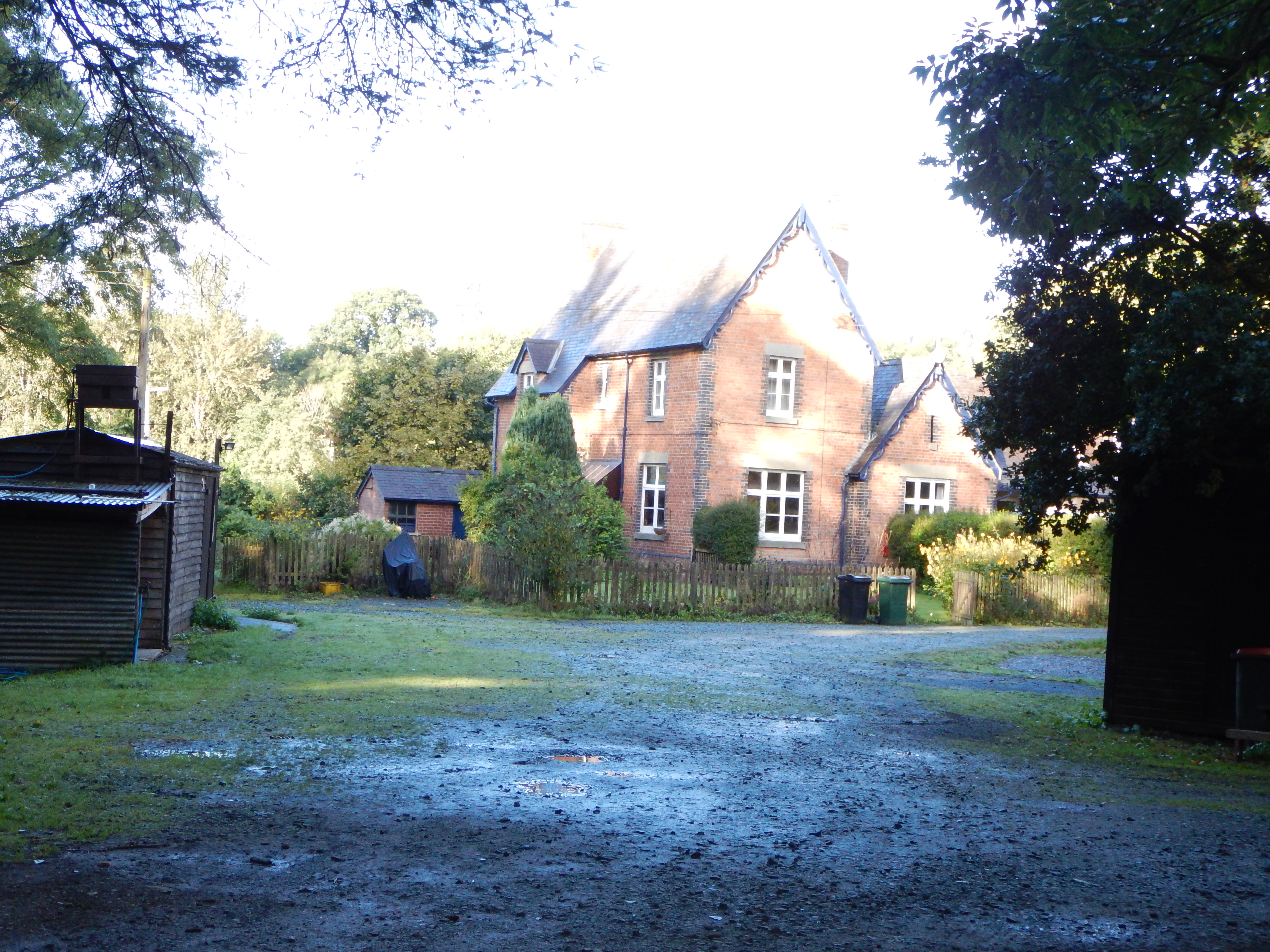
Sidelands Coppice Images
Images are sourced within 2km of 52.479179/-2.8834094 or Grid Reference SO4087. Thanks to Geograph Open Source API. All images are credited.


Sidelands Coppice is located at Grid Ref: SO4087 (Lat: 52.479179, Lng: -2.8834094)
Unitary Authority: Shropshire
Police Authority: West Mercia
What 3 Words
///dial.factoring.darling. Near Craven Arms, Shropshire
Nearby Locations
Related Wikis

Horderley railway station
Horderley railway station was a station in Horderley, Wistanstow, Shropshire, England. The station was opened in March 1866 and closed on 20 April 1935...

Edgton
Edgton is a small village and civil parish in Shropshire, England. It is also an ecclesiastical parish and a chapelry. It lies in a rather remote and very...
Plowden railway station
Plowden railway station was a station in Plowden, Shropshire, England. The station was opened in February 1866 and closed on 20 April 1935. == See also... ==

Plowden, Shropshire
Plowden is a hamlet in the parish of Lydbury North, Shropshire, England. It is in the valley of the River Onny and lies 3 miles east of Bishop's Castle...
Related Videos

JoGLE ep. 30: Offa's Dyke Path Days 4-6 | Hiking across Shropshire, more RAIN and a big reunion
Join us for Days 74 to 76 of our End-to-End hike across the UK where we continued on the Offa's Dyke Path and walked from ...

JoGLE ep. 31: Offa's Dyke Path Days 7-9 | Steep climbs in the Shropshire Hills and even MORE RAIN!
Join us for Days 77 to 79 of our End-to-End hike across the UK where we continued on the Offa's Dyke Path across the beautiful ...

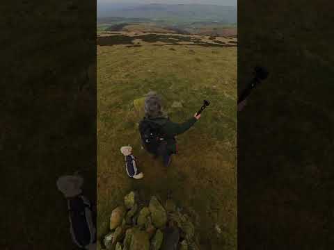
Shropshire hills ⛰
Living the moments❤️ #travel #travelog #uk #shropshire #drone #insta360 #life #style #traveling #the #world.
Nearby Amenities
Located within 500m of 52.479179,-2.8834094Have you been to Sidelands Coppice?
Leave your review of Sidelands Coppice below (or comments, questions and feedback).