Bank Wood

Wood, Forest in Shropshire

England

Bank Wood

A long flog up Whatever way you do it (walk, ride, crawl, hop...) it's a long way up the southern end of The Mynd. Worth it for the views though.
A long flog up Credit: Richard Law

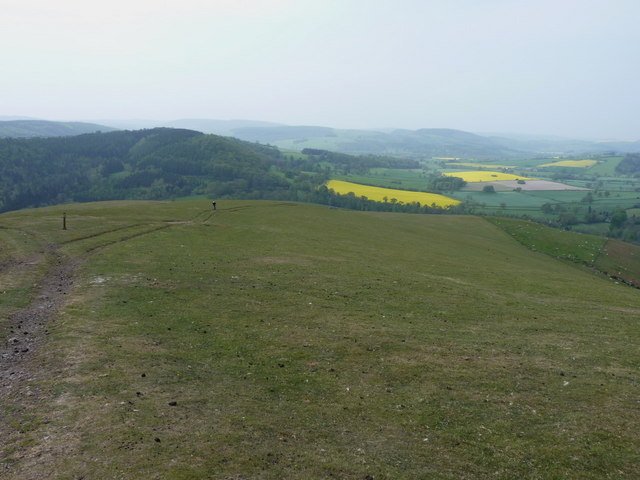
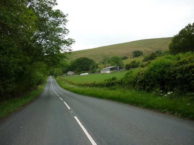
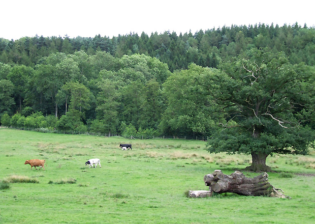
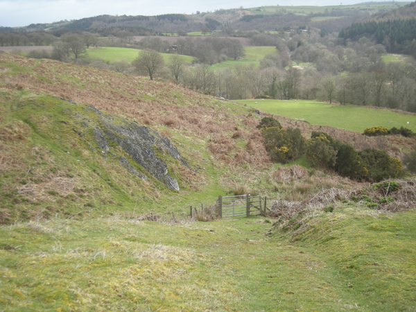
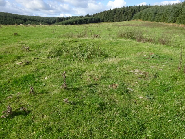
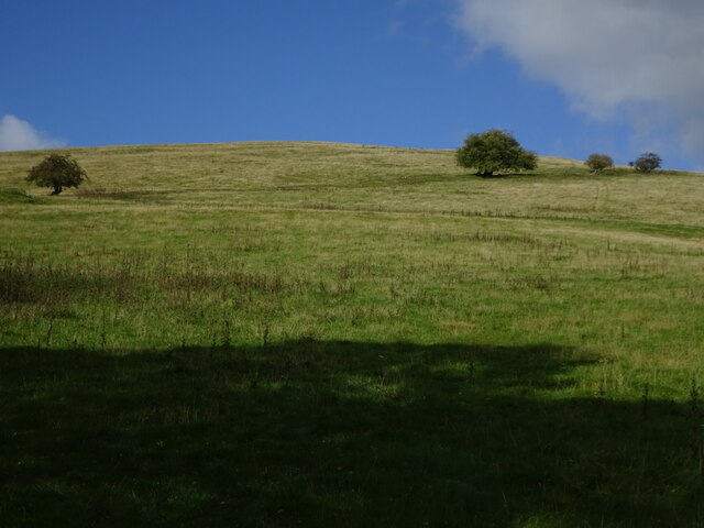
Bank Wood is a picturesque forest located in Shropshire, England. Covering an area of approximately 50 acres, this wood is a popular destination for nature lovers and outdoor enthusiasts. The wood is home to a variety of tree species, including oak, beech, and birch, creating a diverse and vibrant ecosystem.

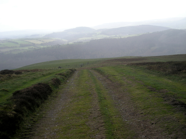
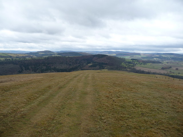
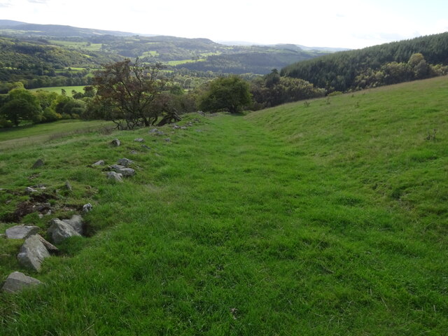
Visitors to Bank Wood can enjoy a leisurely stroll along the well-maintained trails that wind through the forest, providing opportunities to observe the local wildlife and soak in the peaceful surroundings. Birdwatchers may be able to spot species such as woodpeckers, owls, and thrushes in the trees.

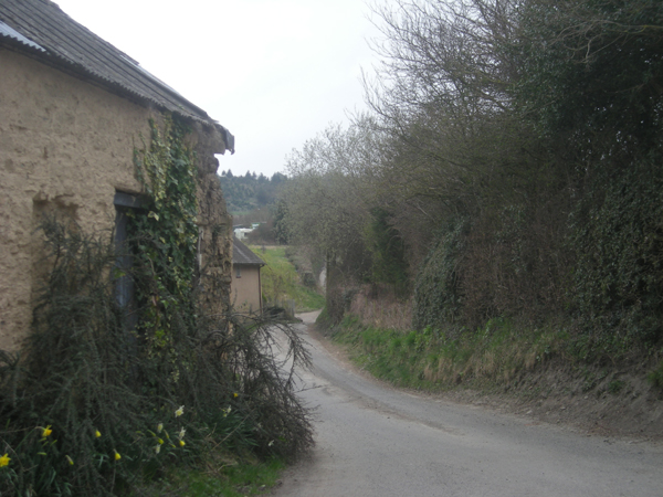
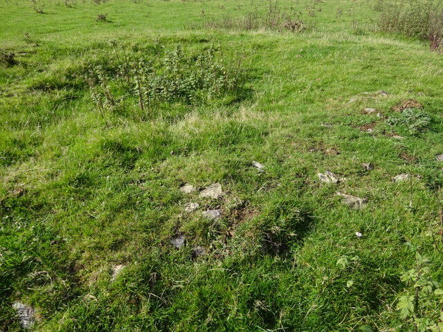
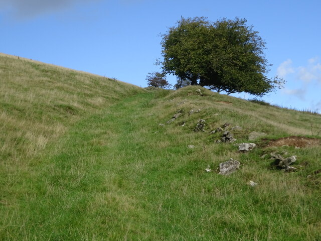
In addition to its natural beauty, Bank Wood also has historical significance, with remnants of old stone walls and structures dating back to the medieval period scattered throughout the forest. These ruins provide a glimpse into the past and add an air of mystery to the wood.

Overall, Bank Wood is a tranquil and enchanting destination that offers a perfect escape from the hustle and bustle of everyday life. Whether you're looking for a relaxing walk in nature or a chance to explore history, this forest has something to offer for everyone.

If you have any feedback on the listing, please let us know in the comments section below.

Bank Wood Images

Images are sourced within 2km of 52.484571/-2.8716924 or Grid Reference SO4087. Thanks to Geograph Open Source API. All images are credited.

A long flog up Whatever way you do it (walk, ride, crawl, hop...) it's a long way up the southern end of The Mynd. Worth it for the views though.
A long flog up
Whatever way you do it (walk, ride, crawl, hop...) it's a long way up the southern end of The Mynd. Worth it for the views though.
Hill End Farm, from the A489
A489 approaching Hillend Farm Looking west
A489 approaching Hillend Farm
Looking west
A489 from Hillend Cottage
Grazing by the River Onny, Shropshire The River flows at the foot of the woodland, where deciduous trees such as oak grow on the north bank, and the coniferous plantation covers the rising land to the south.
Grazing by the River Onny, Shropshire
The River flows at the foot of the woodland, where deciduous trees such as oak grow on the north bank, and the coniferous plantation covers the rising land to the south.
Sheep pasture on Ridgway Hill View east of the Edgton to Ridgway road.
Sheep pasture on Ridgway Hill
View east of the Edgton to Ridgway road.
Pike Hollow Looking down Pike Hollow from the sheep pastures above. The road in the Onny valley is the A489 between Craven Arms and Church Stoke.
Pike Hollow
Looking down Pike Hollow from the sheep pastures above. The road in the Onny valley is the A489 between Craven Arms and Church Stoke.
Pike Hollow (uphill) Looking up Pike Hollow from the bridleway that runs along the southern edge of the Mynd
Pike Hollow (uphill)
Looking up Pike Hollow from the bridleway that runs along the southern edge of the Mynd
Footpath to Priors Holt
Cold, wet & windy on the descent from Black Knoll 'The Jack Mytton Way' as it descends the Long Mynd.
Cold, wet & windy on the descent from Black Knoll
'The Jack Mytton Way' as it descends the Long Mynd.
Lane through Ridgway
The path down from Black Knoll on the Long Mynd The Port Way, looking back down to Plowden Woods on the other side of the Onny valley.
The path down from Black Knoll on the Long Mynd
The Port Way, looking back down to Plowden Woods on the other side of the Onny valley.
Long walk on the Long Mynd The Long Mynd carries the ancient Port Way and the more recent Ride UK 's Jack Mytton Way and the Shropshire Way footpath also.
Long walk on the Long Mynd
The Long Mynd carries the ancient Port Way and the more recent Ride UK 's Jack Mytton Way and the Shropshire Way footpath also.
Botley Stone tumulus A Bronze Age and rather rare ring cairn on Churchmoor Hill. Hardly noticeable but very evocative of past lives.
Botley Stone tumulus
A Bronze Age and rather rare ring cairn on Churchmoor Hill. Hardly noticeable but very evocative of past lives.
Botley Stone tumulus The original stones of this rare Bronze Age ring cairn are clearly visible on its circumference
Botley Stone tumulus
The original stones of this rare Bronze Age ring cairn are clearly visible on its circumference
Green pathway leading off Churchmoor Hill Glorious trail and views
Green pathway leading off Churchmoor Hill
Glorious trail and views
Footpath on southern Churchmoor Hill slopes Well marked old farming route
Footpath on southern Churchmoor Hill slopes
Well marked old farming route
Lower slopes of Churchmoor Hill The descending footpath is marked by the trees on the horizon
Lower slopes of Churchmoor Hill
The descending footpath is marked by the trees on the horizon
Show me another place!

Bank Wood is located at Grid Ref: SO4087 (Lat: 52.484571, Lng: -2.8716924)

Unitary Authority: Shropshire

Police Authority: West Mercia

What 3 Words

///expel.congas.nearing. Near Craven Arms, Shropshire

Related Wikis

Horderley railway station

Horderley railway station was a station in Horderley, Wistanstow, Shropshire, England. The station was opened in March 1866 and closed on 20 April 1935...

Woolston, south Shropshire

Woolston, in the south of the county of Shropshire, England, is a hamlet located in the parish of Wistanstow, one mile northwest of that village, near...

Cwm Head

Cwm Head is a hamlet in Shropshire, England. The name is part-Welsh, part-English and means "Head of the Valley". It is located in the parish of Wistanstow...

Hamperley

Hamperley is a dispersed hamlet in Shropshire, England. It is mainly located in the parish of Church Stretton, 2+1⁄2 miles southwest of Little Stretton...

Nearby Amenities

Located within 500m of 52.484571,-2.8716924
Generator Method: photovoltaic
Generator Output Electricity: yes
Generator Source: solar
Generator Type: solar_photovoltaic_panel
Location: roof
Power: generator
Lat/Long: 52.4803675/-2.8733674
The data included in this document is from www.openstreetmap.org. The data is made available under ODbL.

Have you been to Bank Wood?

Leave your review of Bank Wood below (or comments, questions and feedback).